Blackland TX · ← All the original surveys
William Wilson Survey, Abstract 865
- Granted to
- William Wilson
- Kind of grant
- Headright, third classLand for later settlers, including the colonists of Mercer’s Colony.
- Land Office file
- Robertson 3rd class, file 4420
- Certificate
- No. 0/14
- Acres
- 268
- Patented to
- William Wilson
- Patent
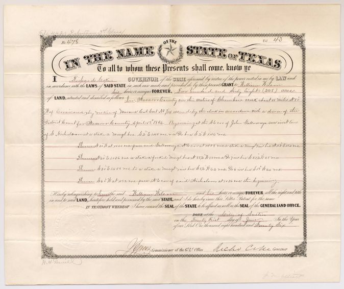
- 21 Jun 1876 · No. 478, Vol. 43
Tap a survey to open its page.
What the file shows
William Wilson proved in the Navarro County district court in April 1856 that he had come to Mercer's Colony before 29 January 1849 as a single man, and received a 320-acre colony certificate. J. M. Eliot surveyed 268 acres of it on Chambers Creek, about eleven miles northwest of Corsicana, in February 1858. Corrected field notes were filed in April 1876, and Governor Richard Coke signed patent No. 478, Vol. 43, on 21 June 1876.
The certificate
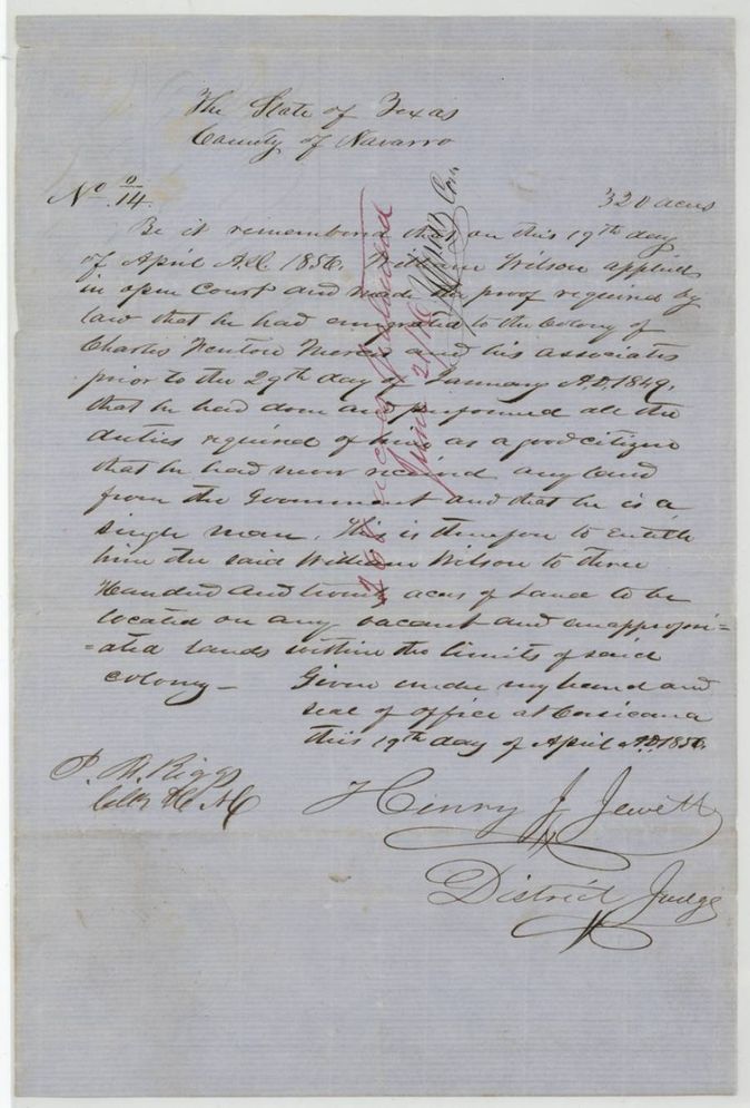
colony certificate, Mercer's Colony (district court decree, 3rd class), No. 0/14 (written as a nought over 14), 320 (268 located in this file), Henry J. Jewett(?), District Judge; P. M. Riggs(?), Clerk of the District Court, Navarro County, Corsicana, Navarro County, 19 Apr 1856.
Wilson applied in open court and proved that he had emigrated to the colony of Charles Fenton Mercer and his associates before 29 January 1849, had done all duties required of a good citizen, had never received land from the government, and was a single man - entitled to 320 acres
The survey
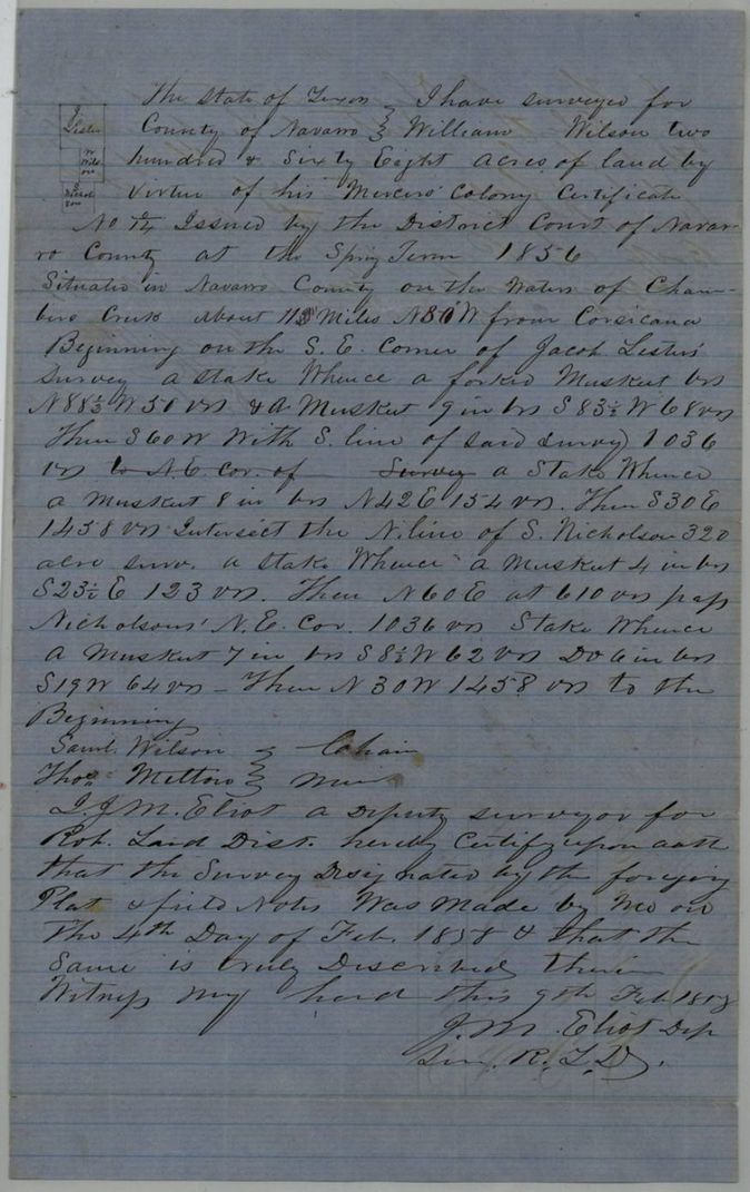
1858-02-04 (certified 1858-02-09), J. M. Eliot, Deputy Surveyor, Robertson Land District.
Navarro County on the waters of Chambers Creek, about 11 1/2(?) miles N 80 W from Corsicana
Chain carriers: Saml. Wilson, Thos. Melton.
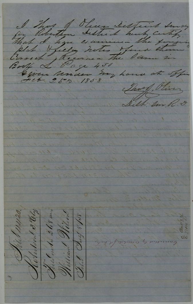
Book L, page 450
The survey
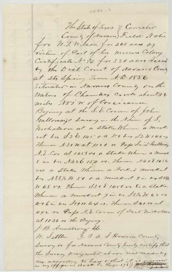
12 Apr 1876, C. S. Howren(?), County Surveyor for Navarro County (corrected field notes).
Navarro County on the waters of Chambers Creek, about 11(?) miles N 80 W of Corsicana (patent: about 11 miles N 80 W)
Chain carriers: J. B. Armstrong(?), W. Settle(?).
Navarro County Book C, page 178
The patent
21 Jun 1876, No. 478, Vol. 43, to William Wilson, his heirs or assigns, delivered to not stated; wrapper note 'Original Patent not called for. Placed in file' 1938.
Also in the file
- Certificate for 320 acres but only 268 acres located; the rest is not in this file.
- The certificate number is written as a nought over 14 (0/14) on the certificate, the 1858 field notes, the corrected notes and the patent alike - the district-court certificate series, not an ordinary No. 14.
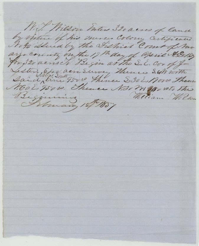
- The designation of 12 Feb 1857 says the certificate issued 19(?) April 1857, but the certificate and patent say April 1856.
- The 1858 survey calls Jacob Lester's survey as its neighbour; the 1876 corrected notes call John Galloway's survey instead.
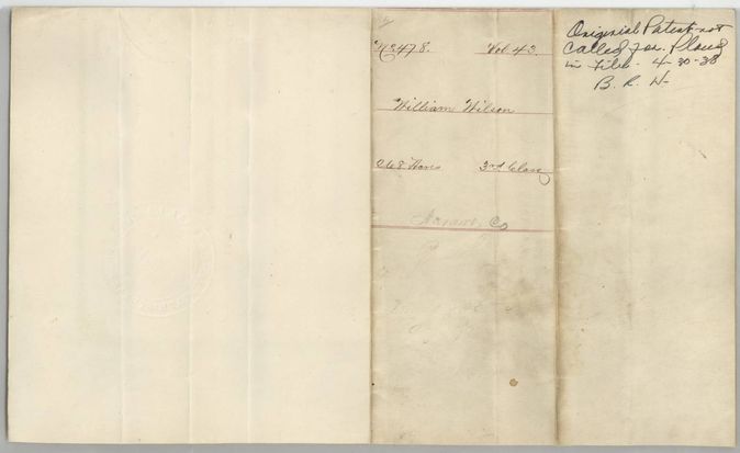
- The original patent was never called for and was placed in the file in 1938.
Timeline
- 29 Jan 1849Date by which Wilson swears he had emigrated to Mercer's Colony
- 19 Apr 1856Navarro County District Court decree gives Wilson a 320-acre colony certificate
- 12 Feb 1857Wilson enters 320 acres at the SE corner of J. Lester's 640-acre survey
- 4 Feb 1858J. M. Eliot surveys 268 acres on Chambers Creek
- 25 Feb 1858Survey examined and recorded, Book L p. 450
- 8 Jul 1858Certificate, designation and field notes filed in the Land Office
- 12 Apr 1876County surveyor certifies corrected field notes
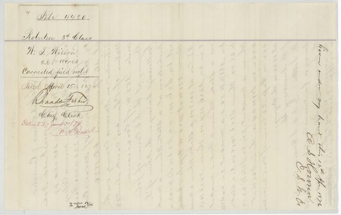
- 15 Apr 1876Corrected field notes filed at the Land Office
- 21 Jun 1876Patent No. 478, Vol. 43 to William Wilson
The papers in the file
Every page of the Land Office file, in the order the Land Office keeps them (11 pages). Tap a page to see it larger.
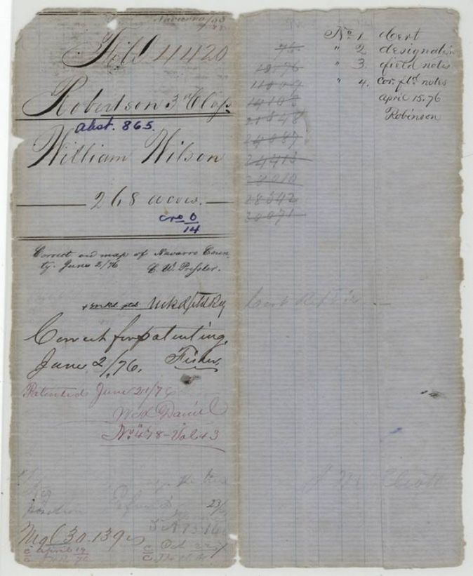
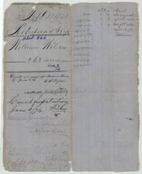 File jacketFile jacket 4420 for William Wilson's 268 acres, abstract 865, patented 21 June 1876, with contents list.General Land Office, file 4420, page 1 · in the scan
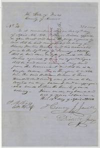 CertificateDistrict Court of Navarro County decree for William Wilson's 320-acre Mercer's Colony certificate, 19 April 1856.General Land Office, file 4420, page 2 · in the scan
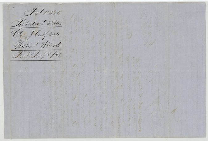
 WrapperWrapper for the colony certificate of William Wilson, filed 8 July 1858.General Land Office, file 4420, page 3 · in the scan
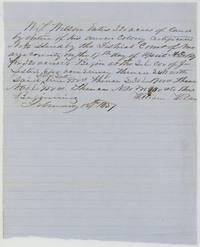 Other papersWilliam Wilson enters 320 acres by his colony certificate beginning at the SE corner of J. Lester's 640-acre survey, 12 February 1857.General Land Office, file 4420, page 4 · in the scan
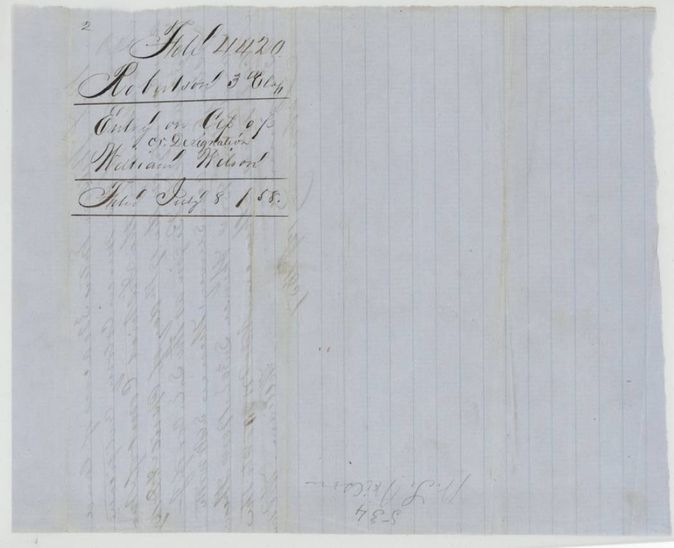
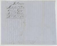 WrapperWrapper for the entry on certificate designation, William Wilson, filed 8 July 1858.General Land Office, file 4420, page 5 · in the scan
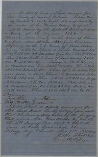 Field notesJ. M. Eliot's field notes and plat of 268 acres on Chambers Creek for William Wilson, 4 February 1858.General Land Office, file 4420, page 6 · in the scan
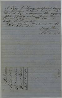 Surveyor's certificateThos. J. Oliver examines the Wilson survey and records it in Book L page 450, 25 February 1858.General Land Office, file 4420, page 7 · in the scan
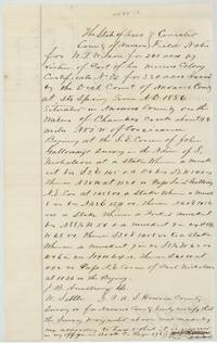 Field notesCorrected field notes for W. T. Wilson's 268 acres calling John Galloway's survey, certified by the Navarro County surveyor, 12 April 1876.General Land Office, file 4420, page 8 · in the scan
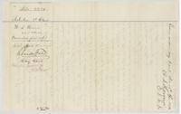 WrapperWrapper for W. T. Wilson's corrected field notes filed 15 April 1876, Rhaads Fisher, chief clerk, patented June 21/76.General Land Office, file 4420, page 9 · in the scan
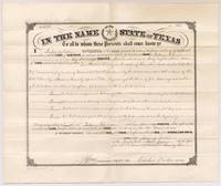 PatentPatent No. 478, Vol. 43 from Governor Richard Coke to William Wilson for 268 acres on Chambers Creek, 21 June 1876.General Land Office, file 4420, page 10 · in the scan
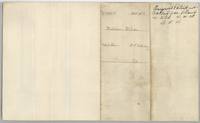 WrapperBack of the patent, No. 478 Vol. 43, William Wilson 268 acres, with a later note that the original patent was never called for.General Land Office, file 4420, page 11 · in the scan
Scans courtesy of the Texas General Land Office, Austin, from its Land Grant Database.
Neighbouring surveys
Sources
- Texas General Land Office, Land Grant Database: Navarro County, Abstract 865
- The Land Office file, scanned (PDF, at the General Land Office)
- 1924 map: courtesy of the Texas General Land Office, Austin, Map 73249, used under licence. Topo: U.S. Geological Survey, The National Map. Aerial photographs: U.S. Department of Agriculture, National Agriculture Imagery Program, 2012, 2018 and 2022. Survey outlines: Railroad Commission of Texas, Original Texas Land Survey. Grant records and files: Texas General Land Office.