Blackland TX · ← All the original surveys
William H. Burrow Survey, Abstract 112
- Granted to
- William H. Burrow
- Kind of grant
- Headright, third classLand for later settlers, including the colonists of Mercer’s Colony.
- Land Office file
- Robertson 3rd class, file 3809
- Certificate
- No. 257
- Acres
- 320
- Patented to
- Heirs of David R. Mitchell
- Patent
- 07 Jun 1860 · No. 517, Vol. 29
Tap a survey to open its page.
What the file shows
William H. Burrow received Mercer's Colony certificate No. 257 for 640 acres at Corsicana in April 1850 and sold it for $30 on 19 August 1857 to David R. Mitchell. Two 320-acre surveys were run in 1857, one by Isaac Walker about 11 1/2 miles N 75 W of Corsicana and one by J. M. Eliot on Richland Creek about five miles south, and both were patented together on 7 June 1860 to Mitchell's heirs.
The certificate
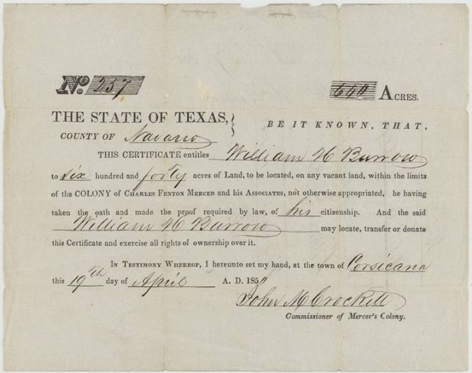
headright (Mercer's Colony certificate), 3rd class, No. 257, 640 (two surveys of 320 acres each located in this file), John M. Crockett, Commissioner of Mercer's Colony, Corsicana, Navarro County, 19 Apr 1850.
Printed form: William H. Burrow, having taken the oath and made the proof required by law of his citizenship, is entitled to 640 acres to be located on vacant land within the limits of the colony of Charles Fenton Mercer and his Associates.
Changes of hand
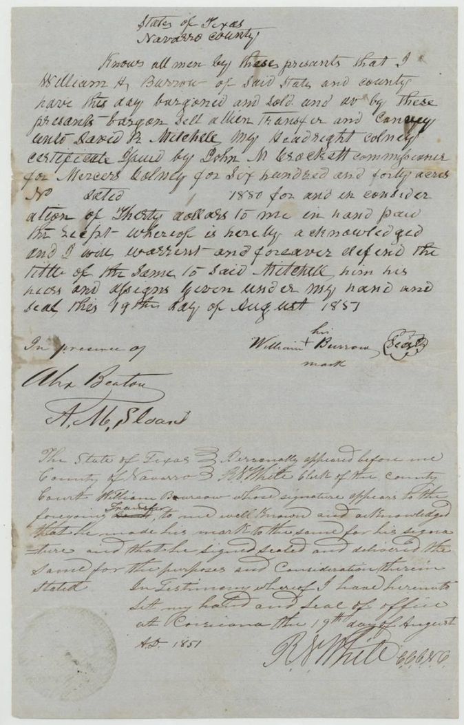
- 19 Aug 1857William H. Burrow (signs by his mark) → David R. Mitchell, $30, Navarro County, Texas. Sells Burrow's headright colony certificate for 640 acres issued by John M. Crockett (certificate number and date left blank in the deed, '1850'); filed GLO 18 Jan 1858.
The survey
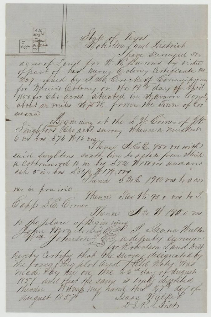
1857-08-22 (certified 1857-08-27), Isaac Walker, Deputy Surveyor, Robertson Land District.
Navarro County, about 11 1/2 miles N 75 W from the town of Corsicana (the 11 1/2 and the 75 written in red ink)
Chain carriers: John Herndon(?), Wm. Johnson.
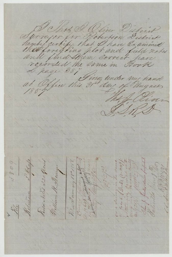
Book L, page 387
The survey
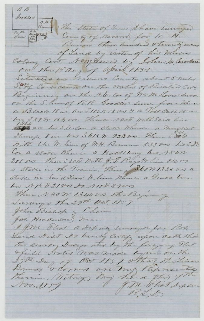
1857-10-29 (certified 1857-11-07), J. M. Eliot, Deputy Surveyor, Robertson Land District.
Navarro County, about 5 miles S.(?) (S 10 W?) of Corsicana, on the waters of Richland Creek
Chain carriers: John Bishop, Jas. Henderson.
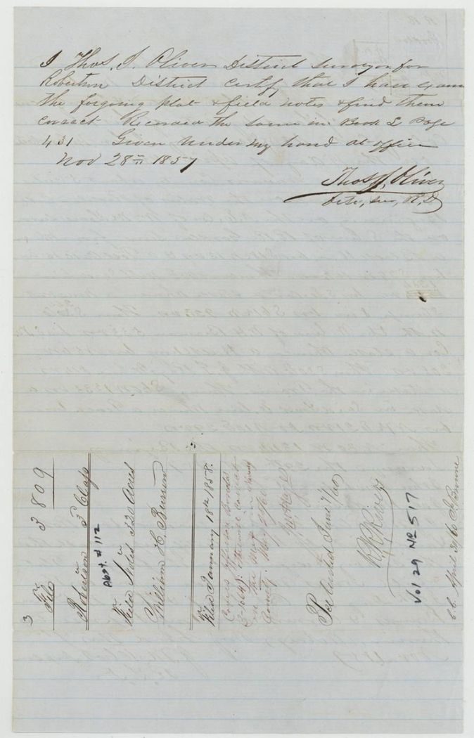
Book L, page 431
The patent
7 Jun 1860, No. 517 and No. 518, Vol. 29 (both surveys patented the same day), to the heirs of David R. Mitchell, deceased, assignees, delivered to not stated.
Also in the file
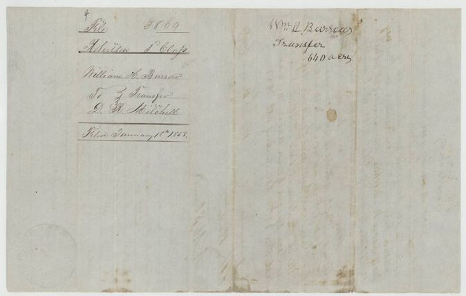
- Burrow's name is spelled Burrow, Burrows and (in the clerk's wrapper) Barrow(?) throughout.
- The acknowledgement of the transfer before R. N. White reads 19 August 1851 although the deed is dated 19 August 1857; one of the years is a clerk's slip.
- The deed leaves the certificate number and date blank ('No ___ dated ___ 1850').
- David R. Mitchell, to whom Burrow sold, had died by 1860, so the patents issued to his heirs as assignees.
- The wrapper for the Eliot survey is labelled 'Abst #112' and 'No 517', which would make the Walker survey Abst 113 / No 518; the index lists both at the same date and cannot be matched to the survey order from the file alone.
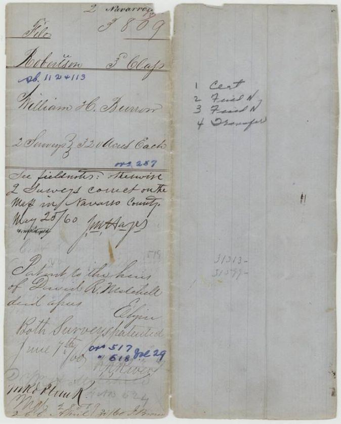
- The jacket notes a boundary or map exception ('see field notes; otherwise correct on the map') and a red-ink note about a survey in another man's name (Ortez(?), 3-1047) that touched one of these tracts.
Timeline
- 19 Apr 1850Mercer's Colony certificate No. 257 for 640 acres issued to William H. Burrow at Corsicana
- 19 Aug 1857Burrow sells the certificate to David R. Mitchell for $30
- 22 Aug 1857Isaac Walker surveys 320 acres south of J. H. Singleton
- 31 Aug 1857Thos. J. Oliver examines Walker's survey; Book L p. 387
- 29 Oct 1857J. M. Eliot surveys the second 320 acres on Richland Creek
- 28 Nov 1857Oliver examines Eliot's survey; Book L p. 431
- 18 Jan 1858Certificate, transfer and both surveys filed in the General Land Office
- 28 May 1860Both surveys marked correct on the Navarro County map
- 7 Jun 1860Patents Nos 517 and 518, Vol. 29, issue to the heirs of David R. Mitchell, deceased
The papers in the file
Every page of the Land Office file, in the order the Land Office keeps them (9 pages). Tap a page to see it larger.
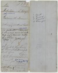 File jacketFile jacket for William H. Burrow's two 320-acre surveys, Ab. 112 and 113, patented to the heirs of David R. Mitchell on 7 June 1860.General Land Office, file 3809, page 1 · in the scan
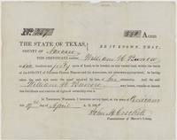 CertificateMercer's Colony Certificate No. 257 for 640 acres to William H. Burrow, signed by Commissioner John M. Crockett at Corsicana, 19 April 1850.General Land Office, file 3809, page 2 · in the scan
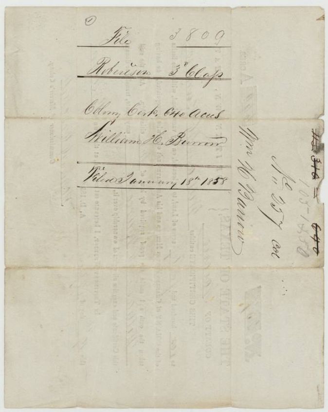
 Back of the certificateBack of the certificate, endorsed File 3809 Robertson 3rd Class, William H. Burrow, filed 18 January 1858.General Land Office, file 3809, page 3 · in the scan
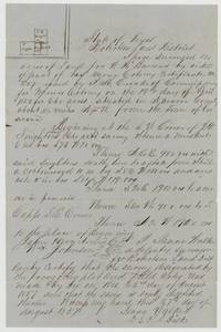 Field notesIsaac Walker's field notes and plat of 320 acres for W. H. Burrows beside J. H. Singleton and T. Capps, about 11 1/2 miles N 75 W of Corsicana, surveyed 22 August 1857.General Land Office, file 3809, page 4 · in the scan
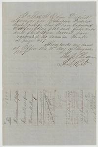 Surveyor's certificateThos. J. Oliver certifies the Walker survey correct and recorded in Book L page 387, 31 August 1857; wrapper shows patent of 7 June 1860.General Land Office, file 3809, page 5 · in the scan
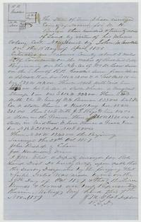 Field notesJ. M. Eliot's field notes and plat of 320 acres for W. H. Burrow on Richland Creek, surveyed 29 October 1857, chain carried by John Bishop and Jas. Henderson.General Land Office, file 3809, page 6 · in the scan
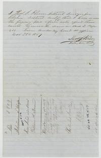 Surveyor's certificateThos. J. Oliver certifies the Eliot survey recorded in Book L page 431, 28 November 1857; wrapper marked Abst #112, patented 7 June 1860, No. 517.General Land Office, file 3809, page 7 · in the scan
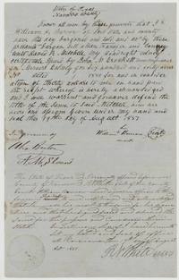 TransferWilliam H. Burrow, by his mark, sells his 640-acre colony certificate to David R. Mitchell for $30, 19 August 1857, with R. N. White's acknowledgement.General Land Office, file 3809, page 8 · in the scan
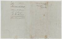 WrapperWrapper of the transfer, William H. Burrow to D. R. Mitchell, 640 acres, filed 18 January 1858.General Land Office, file 3809, page 9 · in the scan
Scans courtesy of the Texas General Land Office, Austin, from its Land Grant Database.
Neighbouring surveys
Sources
- Texas General Land Office, Land Grant Database: Navarro County, Abstract 112
- The Land Office file, scanned (PDF, at the General Land Office)
- 1924 map: courtesy of the Texas General Land Office, Austin, Map 73249, used under licence. Topo: U.S. Geological Survey, The National Map. Aerial photographs: U.S. Department of Agriculture, National Agriculture Imagery Program, 2012, 2018 and 2022. Survey outlines: Railroad Commission of Texas, Original Texas Land Survey. Grant records and files: Texas General Land Office.