Blackland TX · ← All the original surveys
Benjamin Roberts Survey, Abstract 706
- Granted to
- Benjamin Roberts
- Kind of grant
- Headright, third classLand for later settlers, including the colonists of Mercer’s Colony.
- Land Office file
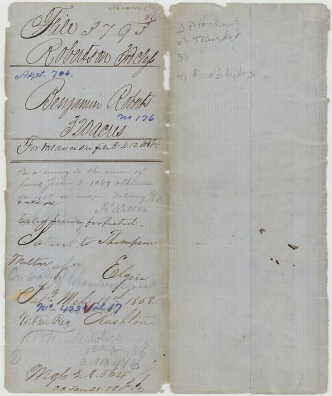
- Robertson 3rd class, file 3793
- Certificate
- No. 176
- Acres
- 320
- Patented to
- Thompson Milton
- Patent
- 18 Mar 1858 · No. 433, Vol. 17
Tap a survey to open its page.
What the file shows
Benjamin Roberts held half of Mercer's Colony certificate No. 176 (640 acres, issued by John M. Crockett on 18 April 1850). He sold 320 acres to Jacob Eliot in June 1854, and Eliot sold them to Thompson Melton in November 1857, after a deputy surveyor had already laid out the tract on Chambers Creek in August 1857. Patent No. 433 Vol. 17 issued to Melton as assignee on 18 March 1858.
The certificate
Mercer Colony certificate (headright 3rd class), half of a 640-acre certificate, No. 176, 640 (320 located in this file), John M. Crockett, Commissioner for Mercer's Colony, 18 Apr 1850.
Benjamin Roberts granted 640 acres as a settler in Mercer's Colony; the certificate itself is not in the file, only referred to in the survey, the transfers and the jacket. Jacket: 'For balance see file 3-412 Rob.'
Changes of hand
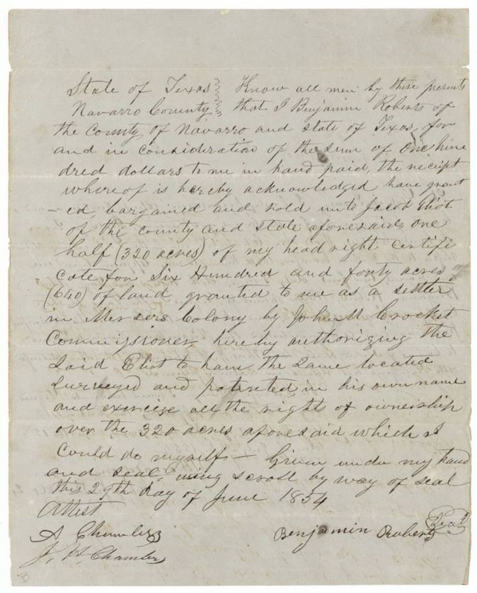
- 29 Jun 1854Benjamin Roberts, of Navarro County → Jacob Eliot, of Navarro County, $100, Navarro County, Texas. Sells one half (320 acres) of his 640-acre Mercer's Colony headright certificate and authorizes Eliot to locate, survey and patent it in his own name.
- 16 Nov 1857Jacob Eliot, of Navarro County → Thompson Melton, of Navarro County, $100, Navarro County, Texas. Transfers the 320 acres out of the Mercer's Colony certificate No. 176 to Thompson Melton, authorizing him to locate and patent it in his own name; filed GLO 13 Jan 1858.
The survey
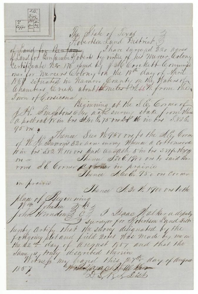
1857-08-22 (certified 1857-08-27), Isaac Walker, Deputy Surveyor, Robertson Land District.
Navarro County on the waters of Chambers Creek, about 10(?) miles N 66 W from the town of Corsicana (distance figure and the 66 both in red ink over the original)
Chain carriers: Wm Johnson, John Herndon.
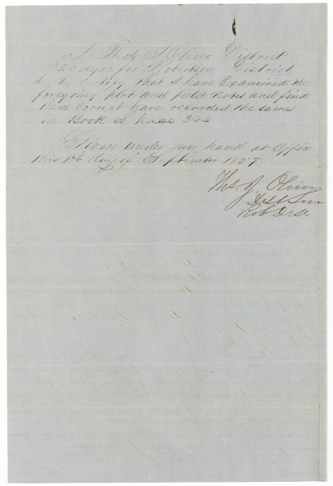
Book L, page 394
The patent
18 Mar 1858, No. 433, Vol. 17, to Thompson Melton, assignee (index spells Milton, Thompson), delivered to not stated.
Also in the file
- The patent went to Thompson Melton as assignee; the index spells him 'Milton, Thompson'.
- The 320 acres were taken from a 640-acre certificate; the balance lies in another file (3-412 Rob.).
- The survey was made 22 Aug 1857, nearly four months before Eliot's transfer to Melton (16 Nov 1857), so Melton bought land already surveyed in Roberts' name; the application to survey was filed in GLO only 13 Jan 1858.
- Roberts sold the half to Jacob Eliot in 1854 but the survey is in Roberts' name; the wrapper calls the tract 321 acres (?) while the field notes and index say 320.
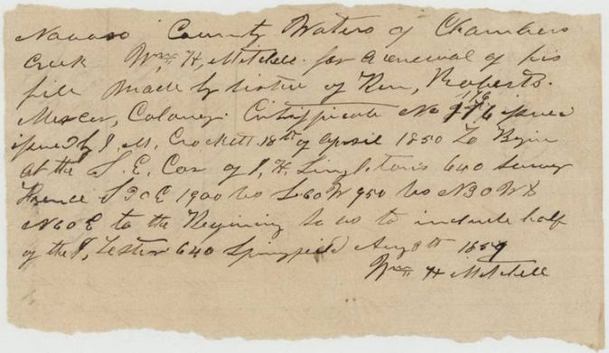
- The jacket notes the survey lies on (conflicts with) a survey in the name of Jacob Lester(?), file 3-1049, and was otherwise judged correct on the map on 6 Feb 1858; Mitchell's application had deliberately aimed to take in half of the J. Lester 640.
- Mitchell's application is dated 'Aug 8th 185_' at Springfield; the last digit reads best as 4 (1854(?)), which fits Eliot's purchase in June 1854; it was filed in the GLO only on 13 Jan 1858.
- Index says patent date 18 Mar 1858, No. 433, Vol. 17, which agrees with the jacket.
Timeline
- 18 Apr 1850John M. Crockett issues Mercer's Colony certificate No. 176 to Benjamin Roberts for 640 acres
- 29 Jun 1854Roberts sells half (320 acres) of the certificate to Jacob Eliot for $100
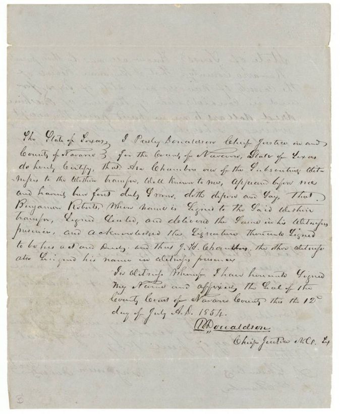
- 12 Jul 1854Chief Justice Presley Donaldson certifies the transfer
- 8 Aug 1854Wm. H. Mitchell at Springfield applies for a renewal of his file under Roberts' certificate No. 176 on Chambers Creek (year read as 1854(?))
- 22 Aug 1857Deputy surveyor Isaac Walker surveys 320 acres on Chambers Creek
- 1 Sep 1857Thos. J. Oliver examines and records the notes, Book L p. 394
- 16 Nov 1857Jacob Eliot sells the 320 acres to Thompson Melton for $100
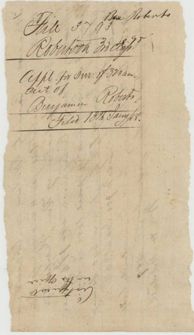
- 13 Jan 1858Papers filed in the General Land Office
- 6 Feb 1858Survey noted correct on the map, apart from lying on a survey in the name of Jacob Lester(?), 3-1049
- 18 Mar 1858Patent No. 433 Vol. 17 to Thompson Melton, assignee
The papers in the file
Every page of the Land Office file, in the order the Land Office keeps them (12 pages). Tap a page to see it larger.
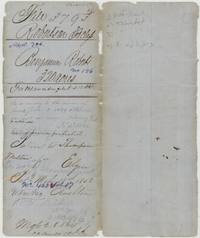 File jacketFile jacket 3793 for Benjamin Roberts' 320 acres, noting the patent to Thompson Melton, assignee, 18 March 1858, No. 433 Vol. 17.General Land Office, file 3793, page 1 · in the scan
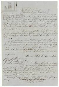 Field notesField notes and plat of 320 acres for Benjamin Roberts on Chambers Creek by Mercer Colony certificate No. 176, surveyed by Isaac Walker 22 August 1857.General Land Office, file 3793, page 2 · in the scan
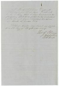 Surveyor's certificateDistrict Surveyor Thos. J. Oliver certifies he examined the notes and recorded them in Book L page 394, 1 September 1857.General Land Office, file 3793, page 3 · in the scan
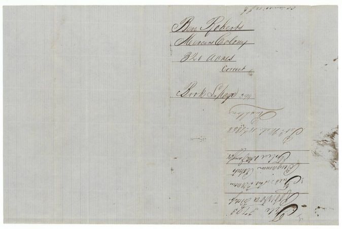
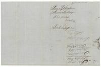 WrapperWrapper for Ben Roberts, Mercer's Colony, correct, Book L page 394, patented 18 March 1858.General Land Office, file 3793, page 4 · in the scan
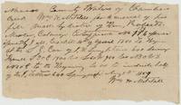 Other papersWm. H. Mitchell's application at Springfield, Aug 8th 1854(?), for a renewal of his file under Roberts' certificate No. 176, to include half the J. Lester 640.General Land Office, file 3793, page 5 · in the scan
 WrapperWrapper for the application to survey 320 acres out of Benjamin Roberts' certificate, filed 13 January 1858.General Land Office, file 3793, page 6 · in the scan
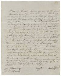 TransferBenjamin Roberts sells half (320 acres) of his 640-acre Mercer's Colony certificate to Jacob Eliot for $100, 29 June 1854.General Land Office, file 3793, page 7 · in the scan
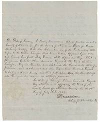 TransferChief Justice Presley Donaldson certifies that Asa Chambers swore Roberts signed the transfer and J. H. Chambers also witnessed, 12 July 1854.General Land Office, file 3793, page 8 · in the scan
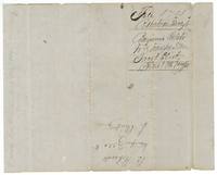 WrapperWrapper for Benjamin Roberts' transfer of 320 acres to Jacob Eliot, filed 13 January 1858.General Land Office, file 3793, page 9 · in the scan
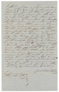 TransferJacob Eliot sells 320 acres of Mercer's Colony certificate No. 176 to Thompson Melton for $100, witnessed by Alex. Beaton.General Land Office, file 3793, page 10 · in the scan
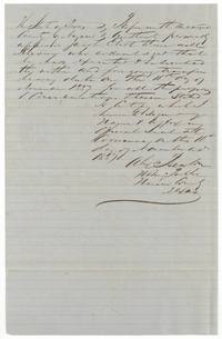 TransferNotary Alex. Beaton at Corsicana certifies Jacob Eliot acknowledged the transfer to Melton on 16 November 1857.General Land Office, file 3793, page 11 · in the scan
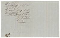 WrapperWrapper for Jacob Eliot's transfer of 320 acres to Thompson Melton, filed 13 January 1858.General Land Office, file 3793, page 12 · in the scan
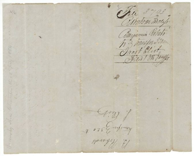
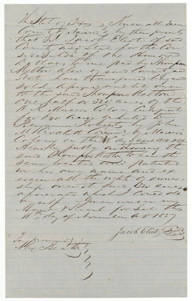
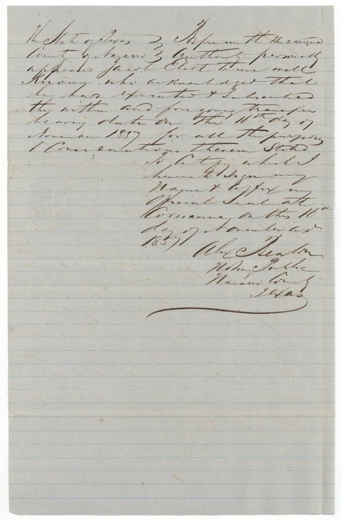
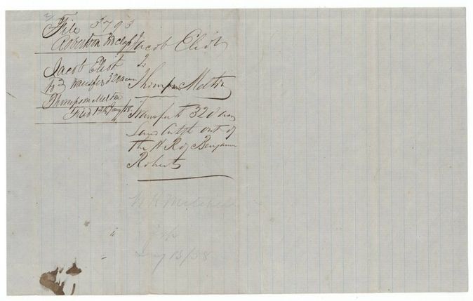
Scans courtesy of the Texas General Land Office, Austin, from its Land Grant Database.
Neighbouring surveys
Sources
- Texas General Land Office, Land Grant Database: Navarro County, Abstract 706
- The Land Office file, scanned (PDF, at the General Land Office)
- 1924 map: courtesy of the Texas General Land Office, Austin, Map 73249, used under licence. Topo: U.S. Geological Survey, The National Map. Aerial photographs: U.S. Department of Agriculture, National Agriculture Imagery Program, 2012, 2018 and 2022. Survey outlines: Railroad Commission of Texas, Original Texas Land Survey. Grant records and files: Texas General Land Office.