Blackland TX · ← All the original surveys
William W. Frazier Survey, Abstract 291
- Granted to
- William W. Frazier
- Kind of grant
- Bounty warrantLand paid for service in the army of the Republic.
- Land Office file
- Robertson Bounty, file 56
- Certificate
- No. 1372
- Acres
- 1920
- Patented to
- Heirs of William W. Frazier
- Patent
- 11 Feb 1846 · No. 377, Vol. 3
Tap a survey to open its page.
What the file shows
William W. Frazier was killed on 27 March 1836 under Col. Fannin, and the Republic of Texas issued bounty and augmentation certificate No. 1372 for 1920 acres in December 1839. His heirs sold it to Samuel Whiting in January 1840, and B. J. Chambers surveyed 1920 acres on Chambers Creek in October 1840. The patent issued to the heirs in February 1846.
The certificate
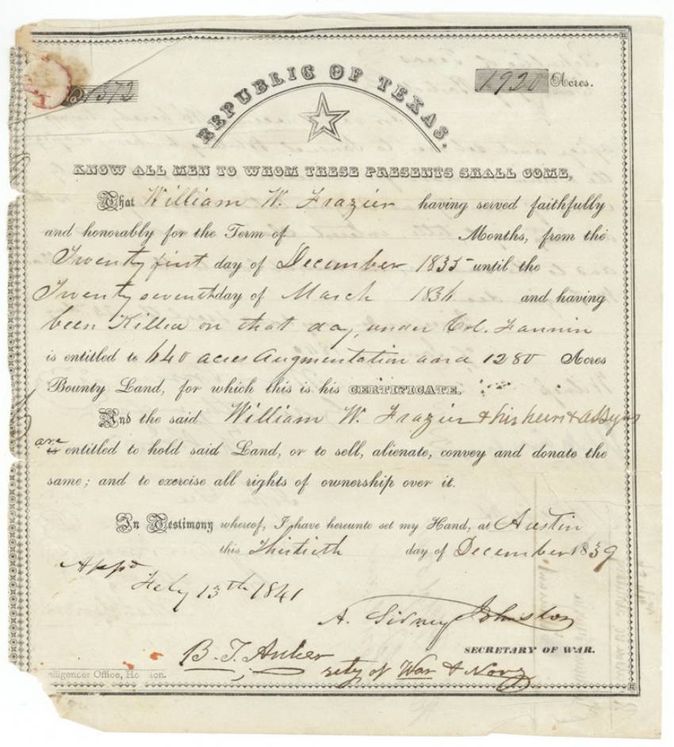
bounty and augmentation certificate (killed under Col. Fannin), No. 1372, 1920 (640 augmentation plus 1280 bounty), A. Sidney Johnston, Secretary of War, Republic of Texas; approved by B. T. Archer, Secretary of War and Navy, 13 Feb 1841, Austin, 30 Dec 1839.
William W. Frazier served faithfully from 21 Dec 1835 until 27 Mar 1836 and was killed on that day under Col. Fannin; entitled to 640 acres augmentation and 1280 acres bounty land for himself, his heirs and assigns.
Changes of hand
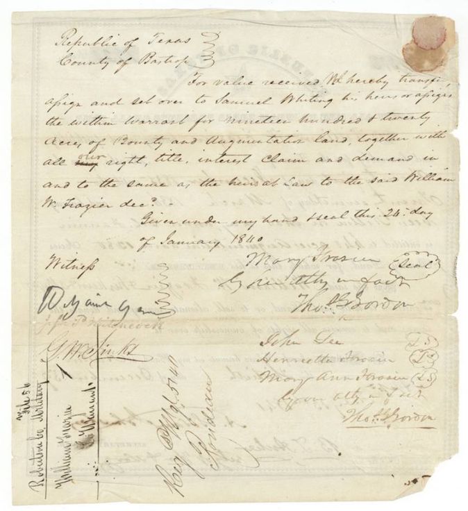
- 24 Jan 1840Mary Frazier (seal), by Thos. Gordon(?) her attorney in fact; John Lee; Henrietta Frazier; Mary Ann Frazier by Thos. Gordon(?) attorney in fact; heirs at law of William W. Frazier deceased → Samuel Whiting, his heirs or assigns, for value received, Bastrop County, Republic of Texas. Transfers the 1920-acre bounty and augmentation warrant together with all right, title, interest, claim and demand as heirs at law. Dated before the warrant's 30 Dec 1839 date was authenticated at Houston (29 Feb 1840).
The survey
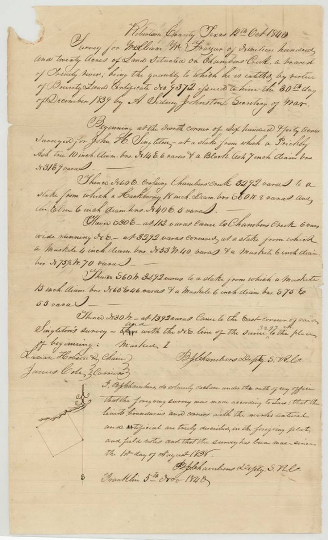
1840-10-12 (certified at Franklin 1840-11-05), B. J. Chambers, Deputy Surveyor, Robertson Land District (Deputy S.R.C.).
Robertson County, on Chambers Creek, a branch of the Trinity River
Chain carriers: Lucian Hobson, James Cole.
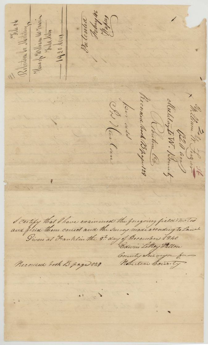
Book B, page 129
The patent
11 Feb 1846, No. 377, Vol. 3, to the Heirs of William W. Frazier, delivered to not stated.
Also in the file
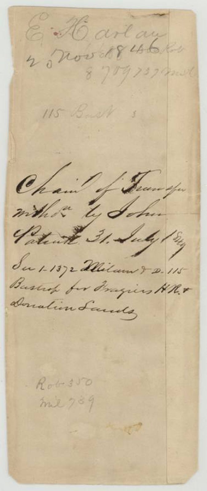
- The heirs sold the warrant to Samuel Whiting on 24 Jan 1840, but the patent of Feb 1846 issued to the heirs of William W. Frazier; the slip on page 8 says the chain of transfer was withdrawn and used for patents of Frazier's headright and donation lands in Milam and Bastrop.
- The transfer is dated 24 Jan 1840, before the warrant's Secretary of State and US legation authentications (10 and 29 Feb 1840).
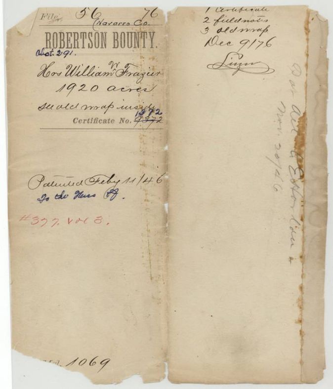
- Certificate number written 9372 and corrected to 1372.
- The survey is dated Oct 1840 in Robertson County, when this land was still part of that large county before Navarro County existed (formed 1846).
- A slip (page 8) records the chain of transfer withdrawn by John ... and refers to patents (31 July 184?) on '1-1372 Milam & 2-115 Bastrop' for Frazier's headright and donation lands - other Frazier grants, not this survey.
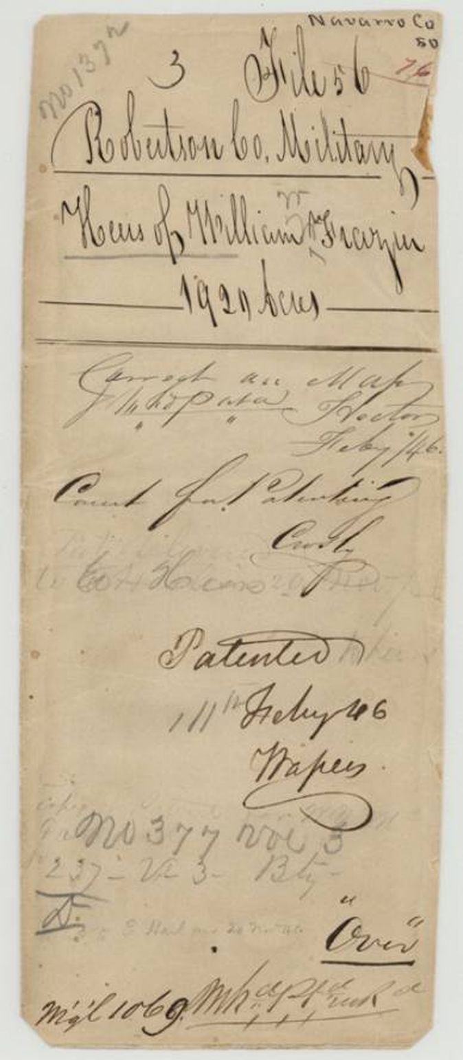
- Jacket contents list '3 old wrap' (the old wrapper, page 9) - nothing is missing.
- Index matches: patent 11 Feb 1846, No. 377, Vol. 3, 1920 acres, certificate 1372.
Timeline
- 21 Dec 1835William W. Frazier's service begins
- 27 Mar 1836Frazier is killed under Col. Fannin
- 30 Dec 1839Bounty and augmentation certificate No. 1372 for 1920 acres issued at Austin
- 24 Jan 1840Frazier heirs transfer the warrant to Samuel Whiting in Bastrop County
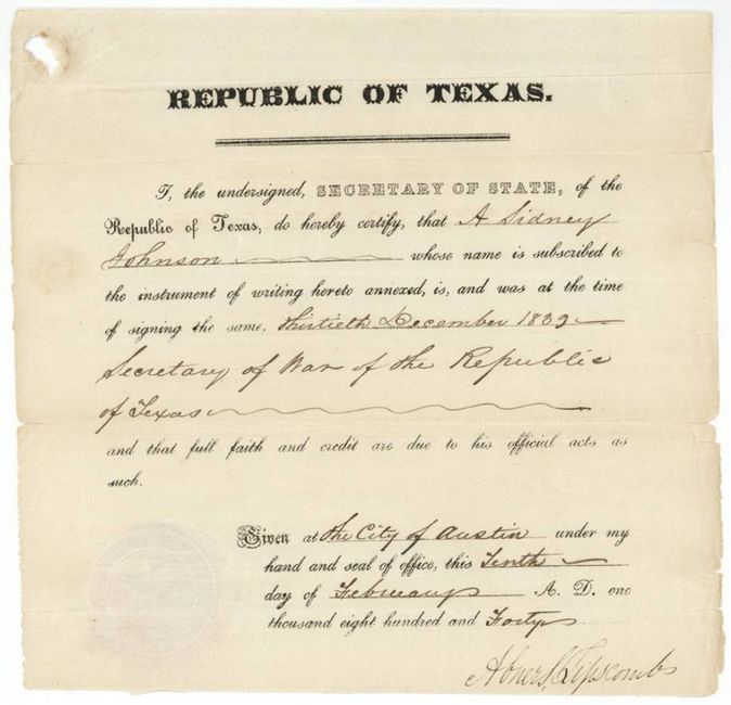
- 10 Feb 1840Secretary of State Lipscomb authenticates Johnston's signature
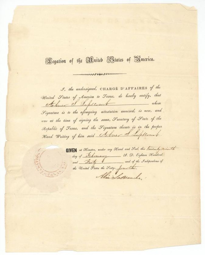
- 29 Feb 1840US Charge d'Affaires La Branche authenticates Lipscomb at Houston
- 12 Oct 1840B. J. Chambers surveys 1920 acres on Chambers Creek
- 5 Nov 1840Chambers certifies the field notes at Franklin
- 8 Dec 1840County Surveyor examines and records the field notes, Book B p. 129
- 13 Feb 1841Certificate approved by B. T. Archer, Secretary of War and Navy
- 1 Feb 1846Survey checked correct on map
- 11 Feb 1846Patent No. 377, Vol. 3 to the heirs of William W. Frazier
The papers in the file
Every page of the Land Office file, in the order the Land Office keeps them (9 pages). Tap a page to see it larger.
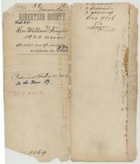 File jacketFile jacket for the heirs of William W. Frazier, Robertson Bounty, 1920 acres, certificate 1372, patented 11 February 1846, No. 377 Vol. 3.General Land Office, file 56, page 1 · in the scan
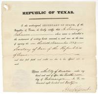 Other papersSecretary of State Abner S. Lipscomb certifies A. Sidney Johnston was Secretary of War when he signed on 30 December 1839, Austin, 10 February 1840.General Land Office, file 56, page 2 · in the scan
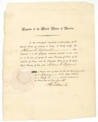 Other papersUS Charge d'Affaires Alcee La Branche at Houston certifies Lipscomb was Secretary of State of the Republic of Texas, 29 February 1840.General Land Office, file 56, page 3 · in the scan
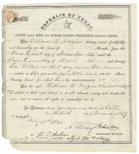 CertificateRepublic of Texas certificate for William W. Frazier, killed under Col. Fannin, entitling him to 640 acres augmentation and 1280 acres bounty, 30 December 1839.General Land Office, file 56, page 4 · in the scan
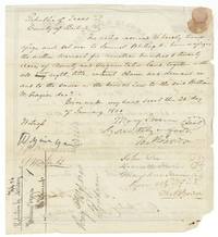 TransferHeirs of William W. Frazier assign the 1920-acre warrant to Samuel Whiting in Bastrop County, 24 January 1840.General Land Office, file 56, page 5 · in the scan
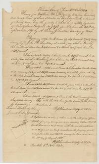 Field notesField notes and plat of 1920 acres for William W. Frazier on Chambers Creek by B. J. Chambers, 12 October 1840, chain carriers Lucian Hobson and James Cole.General Land Office, file 56, page 6 · in the scan
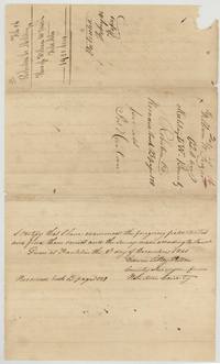 Surveyor's certificateCounty Surveyor of Robertson County examines and records the Frazier field notes at Franklin, 8 December 1840, Book B page 129.General Land Office, file 56, page 7 · in the scan
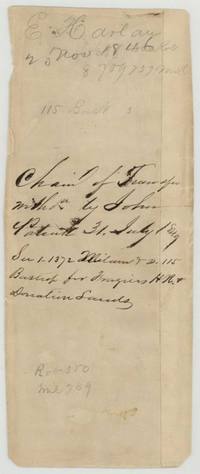 Other papersSlip noting the chain of transfer withdrawn and patents for Frazier's headright and donation lands, Milam 1-1372 and Bastrop 2-115, 31 July 184?(?).General Land Office, file 56, page 8 · in the scan
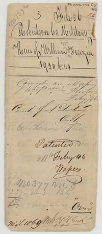 WrapperWrapper no. 3 for Robertson County Military File 56, marked correct on map February 1846 and patented 11 February 1846.General Land Office, file 56, page 9 · in the scan
Scans courtesy of the Texas General Land Office, Austin, from its Land Grant Database.
Neighbouring surveys
Sources
- Texas General Land Office, Land Grant Database: Navarro County, Abstract 291
- The Land Office file, scanned (PDF, at the General Land Office)
- 1924 map: courtesy of the Texas General Land Office, Austin, Map 73249, used under licence. Topo: U.S. Geological Survey, The National Map. Aerial photographs: U.S. Department of Agriculture, National Agriculture Imagery Program, 2012, 2018 and 2022. Survey outlines: Railroad Commission of Texas, Original Texas Land Survey. Grant records and files: Texas General Land Office.