Blackland TX · ← All the original surveys
Soloman Hurbough Survey, Abstract 364
- Granted to
- Soloman Hurbough
- Kind of grant
- Headright, third classLand for later settlers, including the colonists of Mercer’s Colony.
- Land Office file
- Robertson 3rd class, file 3342
- Certificate
- No. 56
- Acres
- 640
- Patented to
- John G. Gooch
- Patent
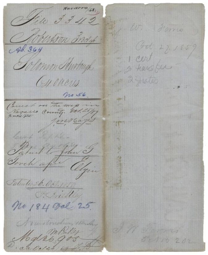
- 26 Oct 1859 · No. 184, Vol. 25
Tap a survey to open its page.
What the file shows
Solomon Hurbough received Mercer's Colony certificate No. 56 for 640 acres from the Kaufman County District Court on 11 November 1856 and sold it four days later to John G. Gooch for $200. Deputy surveyor Milton Wright located it on the north fork of Brier Creek in northern Navarro County in March 1857, and the patent issued to Gooch as assignee in October 1859.
The certificate
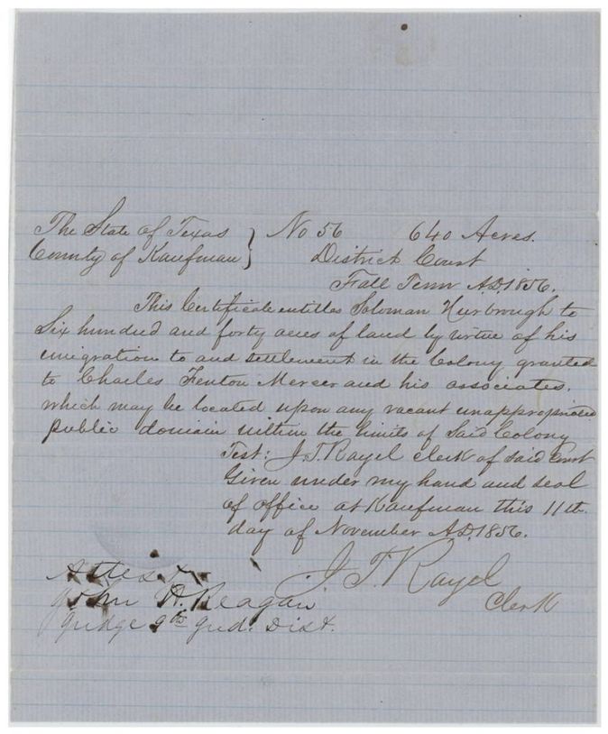
colonist's certificate, Mercer's Colony, No. 56, 640 acres, District Court of Kaufman County, Fall Term 1856; test J. T. Rayel(?), Clerk; attested John H. Reagan, Judge 9th Judicial District, Kaufman, Kaufman County, 11 Nov 1856.
Entitles Solomon Hurbough to 640 acres by virtue of his emigration to and settlement in the colony granted to Charles Fenton Mercer and his associates, to be located on vacant public domain within the colony limits.
Changes of hand
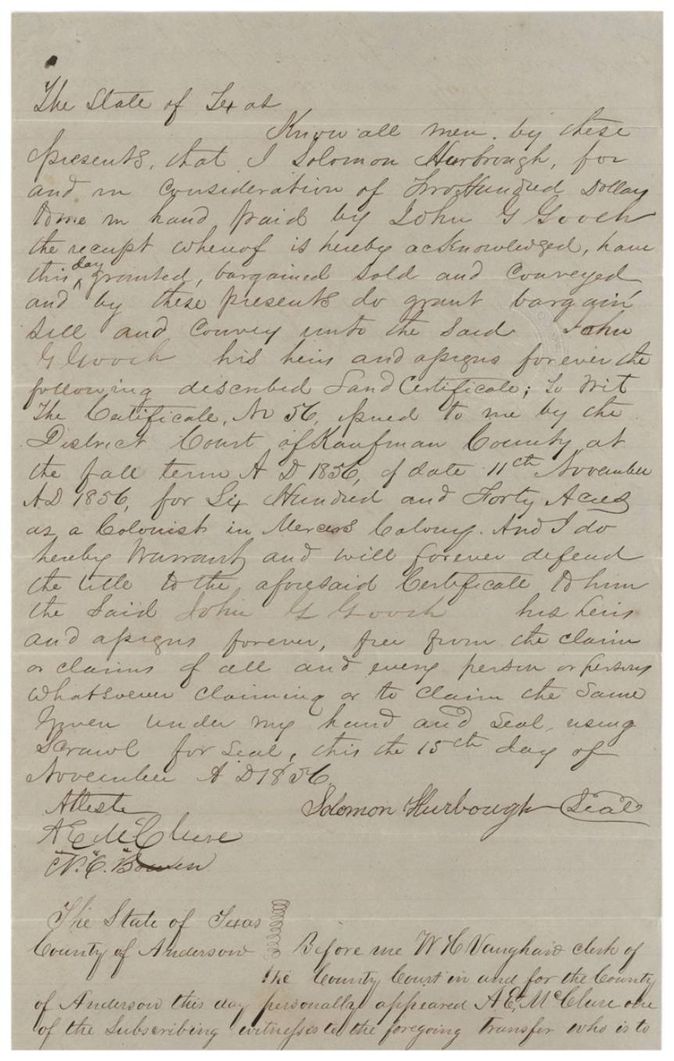
- 15 Nov 1856Solomon Hurbough (Hurbaugh) → John G. Gooch, $200, 'The State of Texas' (no county named in the deed); proved in Anderson County at Palestine. Sells Certificate No. 56 for 640 acres issued by the District Court of Kaufman County, 11 Nov 1856, as a colonist in Mercer's Colony; filed 10 Aug 1857
The survey
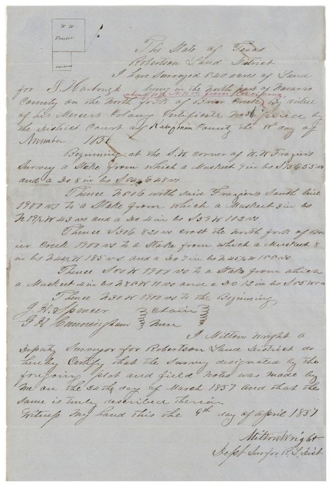
1857-03-24 (certified 1857-04-09), Milton Wright, Deputy Surveyor, Robertson Land District.
North part of Navarro County, on the north fork of Brier Creek; red-ink addition: about 10 1/2(?) miles N 70(?) W from Corsicana
Chain carriers: J. H. Spencer, G. H. Cunningham.
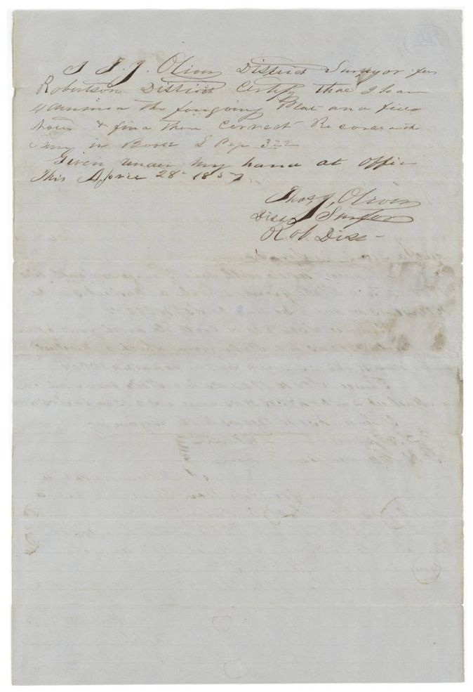
Book L, page 322
The patent
26 Oct 1859, No. 184, Vol. 25, to John G. Gooch, assignee, delivered to not stated.
Also in the file
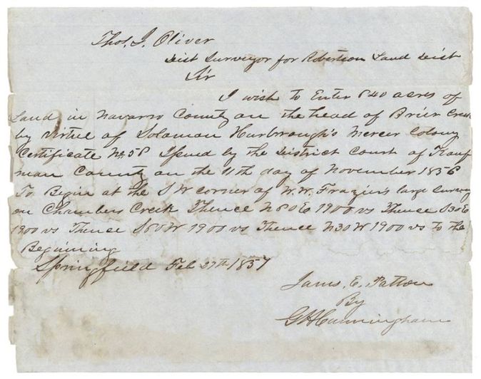
- The entry letter of 27 Feb 1857 is signed James E. Patton by G. H. Cunningham, not by Hurbough or Gooch, and calls the certificate 'No. 58'(?) while the certificate is No. 56.
- The entry describes the land as at the head of Brier Creek beginning at the SW corner of W. W. Frazier's large survey 'on Chambers Creek'; the field notes say the north fork of Brier Creek.
- Transfer was made four days after the certificate was issued (15 Nov 1856) and before the survey.
- Surname spelled Hurbough, Hurbrough, Hurbaugh, Hurbourgh in different papers; index spells grantee 'Soloman'.
- Index matches the jacket: patent 26 Oct 1859, No. 184, Vol. 25, 640 acres, certificate 56.
Timeline
- 11 Nov 1856Kaufman County District Court issues Mercer's Colony certificate No. 56 for 640 acres to Solomon Hurbough
- 15 Nov 1856Hurbough sells the certificate to John G. Gooch for $200
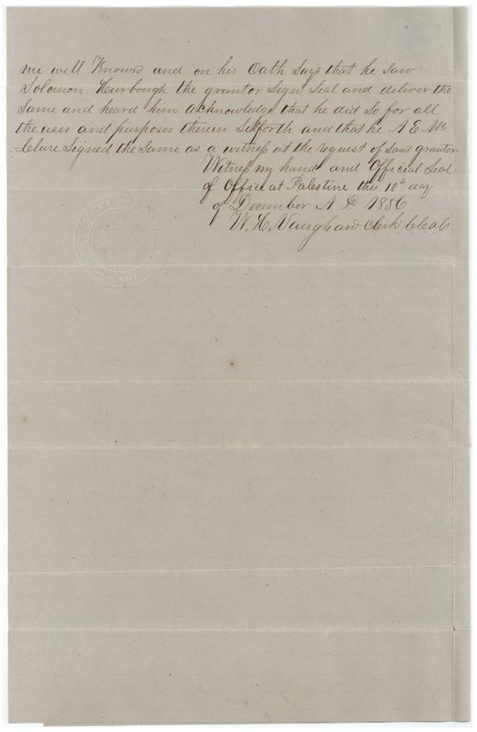
- 10 Dec 1856Transfer proved before the Anderson County clerk at Palestine
- 27 Feb 1857Entry for 640 acres at the head of Brier Creek made to District Surveyor Oliver at Springfield
- 24 Mar 1857Milton Wright surveys 640 acres on the north fork of Brier Creek
- 9 Apr 1857Wright certifies the field notes
- 28 Apr 1857Thos. J. Oliver examines and records the field notes, Book L p. 322
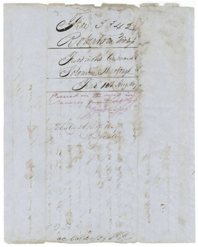
- 10 Aug 1857Certificate, transfer and field notes filed in the General Land Office
- 25 Oct 1859Survey checked correct on the Navarro County map
- 26 Oct 1859Patent No. 184, Vol. 25 to John G. Gooch, assignee
The papers in the file
Every page of the Land Office file, in the order the Land Office keeps them (10 pages). Tap a page to see it larger.
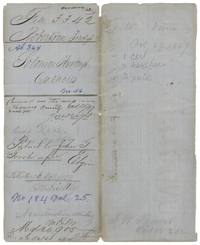 File jacketFile jacket for Solomon Hurbough's 640 acres, patented to John G. Gooch, assignee, 26 October 1859, No. 184 Vol. 25.General Land Office, file 3342, page 1 · in the scan
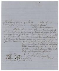 CertificateKaufman County District Court Mercer's Colony certificate No. 56 for 640 acres to Solomon Hurbough, attested by Judge John H. Reagan, 11 November 1856.General Land Office, file 3342, page 2 · in the scan
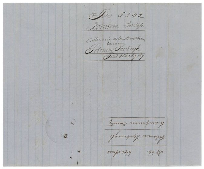
 WrapperWrapper no. 1 for the Mercer colonist's certificate for 640 acres, filed 10 August 1857, with certificate endorsement on the back.General Land Office, file 3342, page 3 · in the scan
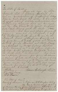 TransferSolomon Hurbough sells Certificate No. 56 to John G. Gooch for $200, 15 November 1856, witnessed by A. E. McClure and W. C. Bowen.General Land Office, file 3342, page 4 · in the scan
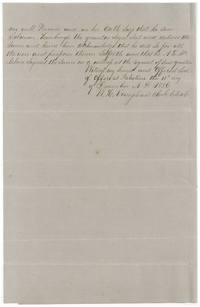 TransferAcknowledgment of the Hurbough transfer before the Anderson County clerk at Palestine, 10 December 1856.General Land Office, file 3342, page 5 · in the scan
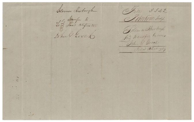
 WrapperWrapper no. 2 for the transfer of Solomon Hurbough to John G. Gooch, filed 10 August 1857.General Land Office, file 3342, page 6 · in the scan
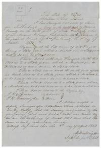 Field notesField notes and plat of 640 acres for S. Hurbough on the north fork of Brier Creek by Milton Wright, surveyed 24 March 1857.General Land Office, file 3342, page 7 · in the scan
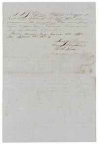 Surveyor's certificateDistrict Surveyor Thos. J. Oliver certifies he examined the plat and field notes and recorded them in Book L page 322, 28 April 1857.General Land Office, file 3342, page 8 · in the scan
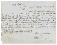 Other papersEntry for 640 acres at the head of Brier Creek under Hurbough's certificate, signed James E. Patton by G. H. Cunningham at Springfield, 27 February 1857.General Land Office, file 3342, page 9 · in the scan
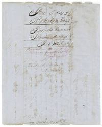 WrapperWrapper no. 3 for the field notes, filed 10 August 1857, marked correct on the map 25 October 1859 and patented 26 October 1859.General Land Office, file 3342, page 10 · in the scan
Scans courtesy of the Texas General Land Office, Austin, from its Land Grant Database.
Neighbouring surveys
Sources
- Texas General Land Office, Land Grant Database: Navarro County, Abstract 364
- The Land Office file, scanned (PDF, at the General Land Office)
- 1924 map: courtesy of the Texas General Land Office, Austin, Map 73249, used under licence. Topo: U.S. Geological Survey, The National Map. Aerial photographs: U.S. Department of Agriculture, National Agriculture Imagery Program, 2012, 2018 and 2022. Survey outlines: Railroad Commission of Texas, Original Texas Land Survey. Grant records and files: Texas General Land Office.