Blackland TX · ← All the original surveys
John Galloway Survey, Abstract 321
- Granted to
- John Galloway
- Kind of grant
- Headright, third classLand for later settlers, including the colonists of Mercer’s Colony.
- Land Office file
- Robertson 3rd class, file 4240
- Certificate
- No. 0/1
- Acres
- 320
- Patented to
- Heirs of John Galloway
- Patent
- 24 Mar 1863 · No. 581, Vol. 36
Tap a survey to open its page.
What the file shows
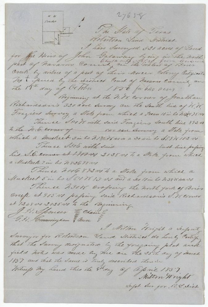
The heirs of John Galloway held a Mercer Colony certificate for 640 acres issued by the Navarro District Court in October 1856, and Milton Wright surveyed 320 acres of it on Briar Creek in March 1857. The Land Office checked it against the county map in 1860 and patented it to the heirs in March 1863.
The certificate
Mercer's Colony certificate (3rd class), No. 0/1 (written as a nought over 1 in the field notes; index 0/1), 640 (320 located in this file), District Court of Navarro County, Navarro County, Texas, 18 Oct 1856.
Mercer Colony certificate issued to the heirs of John Galloway by the Navarro District Court; the certificate itself is not in the file
The survey
1857-03-25 (certified 1857-04-04), Milton Wright, Deputy Surveyor, Robertson Land District.
Navarro County, north part, on the waters of Briar Creek, about 14(?) miles N 75 W of Corsicana
Chain carriers: J. H. Spencer, G. H. Cunningham.
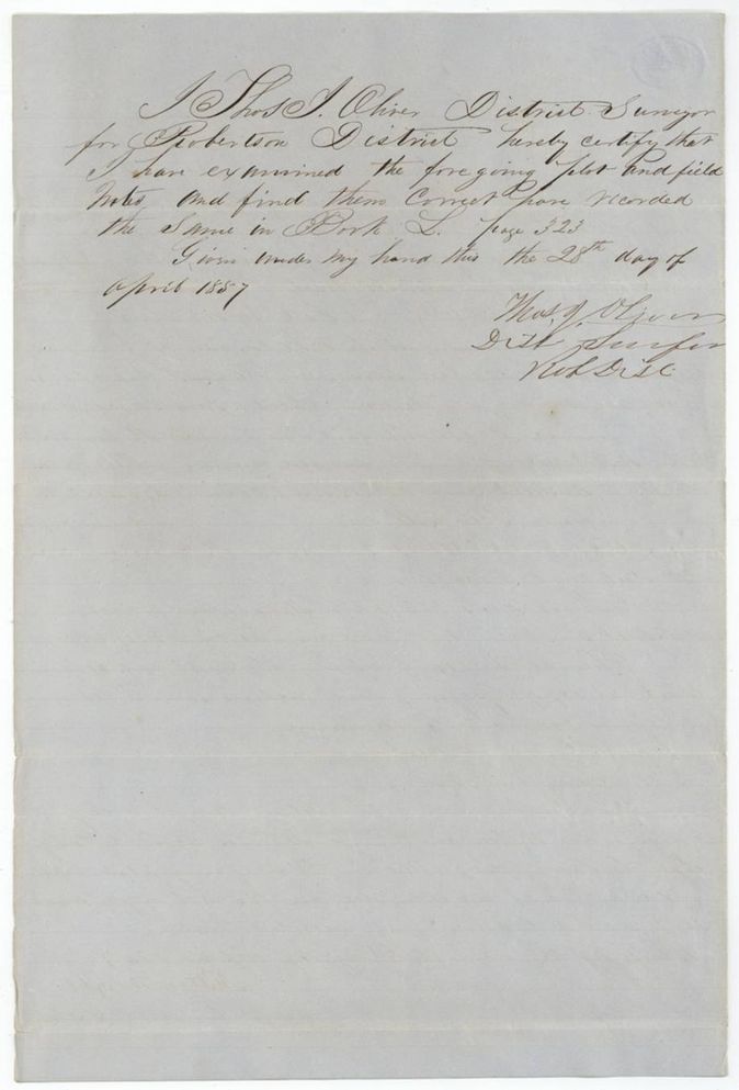
Book L p. 323
The patent
1863-03-24 (jacket 24 written over 23; wrapper 23rd), No. 581, Vol. 36, to Heirs of John Galloway, delivered to not stated.
Also in the file
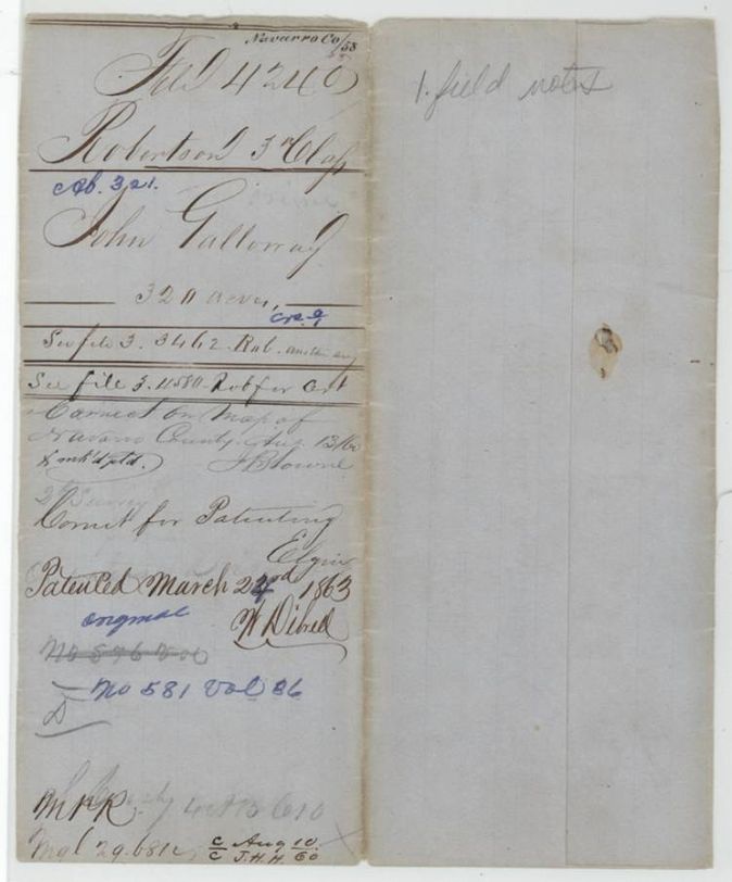
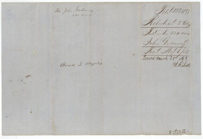
- The field-notes wrapper (p4) reads 'Patented March 23rd 1863'; on the jacket (p1) the day is written 24 over 23; the index says 24 Mar 1863.
- The certificate is not in this file; the jacket points to other files for it and for the balance of the 640 acres.
- The spelling varies between Galloway, Galaway and Gallaway.
- An earlier patent number appears struck out on the jacket, replaced by No. 581 Vol. 36.
Timeline
- 18 Oct 1856Navarro District Court issues Mercer Colony certificate for 640 acres to Galloway's heirs
- 25 Mar 1857Milton Wright surveys 320 acres on Briar Creek
- 28 Apr 1857Survey examined and recorded Book L p. 323
- 1 May 1858Field notes filed at the General Land Office
- 13 Aug 1860Checked correct on Navarro County map
- 24 Mar 1863Patent No. 581 Vol. 36 to the heirs
The papers in the file
Every page of the Land Office file, in the order the Land Office keeps them (4 pages). Tap a page to see it larger.
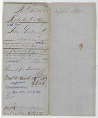 File jacketFile jacket, file 4240 Robertson 3rd Class, abst. 321, John Galloway 320 acres, correct on map 13 August 1860, patented March 1863, No. 581 Vol. 36.General Land Office, file 4240, page 1 · in the scan
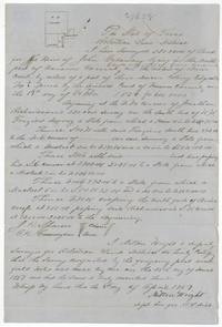 Field notesField notes for 320 acres for the heirs of John Galloway on Briar Creek, surveyed 25 March 1857 by Milton Wright, certified 4 April 1857, under a Mercer Colony certificate of 18 October 1856 for 640 acres.General Land Office, file 4240, page 2 · in the scan
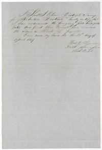 Surveyor's certificateThos. J. Oliver, District Surveyor, examines the notes and records them in Book L p. 323, 28 April 1857.General Land Office, file 4240, page 3 · in the scan
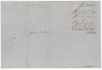 WrapperWrapper for the field notes of 320 acres for John Galloway, filed 1 May 1858, patented March 1863, Book L p. 323.General Land Office, file 4240, page 4 · in the scan
Scans courtesy of the Texas General Land Office, Austin, from its Land Grant Database.
Neighbouring surveys
Sources
- Texas General Land Office, Land Grant Database: Navarro County, Abstract 321
- The Land Office file, scanned (PDF, at the General Land Office)
- 1924 map: courtesy of the Texas General Land Office, Austin, Map 73249, used under licence. Topo: U.S. Geological Survey, The National Map. Aerial photographs: U.S. Department of Agriculture, National Agriculture Imagery Program, 2012, 2018 and 2022. Survey outlines: Railroad Commission of Texas, Original Texas Land Survey. Grant records and files: Texas General Land Office.