Blackland TX · ← All the original surveys
John Deck Survey, Abstract 249
- Granted to
- John Deck
- Kind of grant
- Bounty warrantLand paid for service in the army of the Republic.
- Land Office file
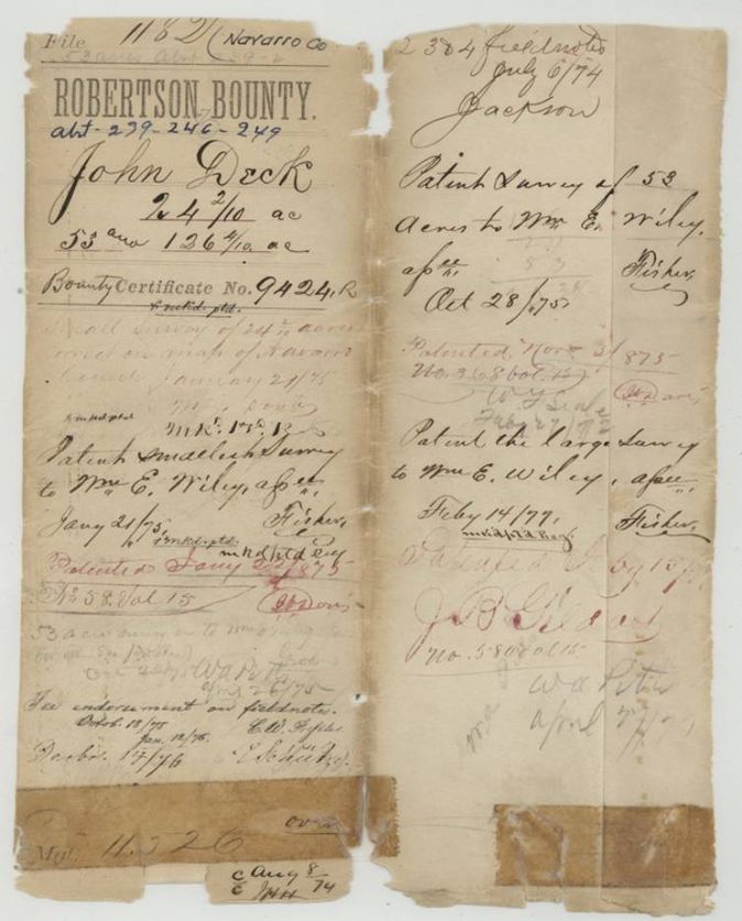
- Robertson Bounty, file 1182
- Certificate
- No. 9424
- Acres
- 126.40
- Patented to
- William E. Wiley
- Patent
- 15 Feb 1877 · No. 580, Vol. 15
Tap a survey to open its page.
What the file shows
John Deck's 320-acre bounty certificate No. 9424, issued 22 January 1840 for three months' military service, passed to William E. Wiley, who had Navarro County Surveyor A. S. Howren locate it in three small pieces in 1874: 24.2, 53 and 126.4 acres, west and north of Corsicana. The first two were patented in 1875 and the 126.4-acre piece in February 1877, after Howren defended it in letters to the Land Commissioner because the county map showed no vacancy there.
The certificate
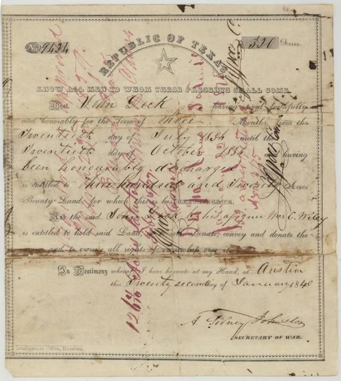
bounty warrant (military service, three months), No. 9424, 320 (split here into 24.2, 53 and 126.4 acres), A. Sidney Johnston, Secretary of War, Republic of Texas, Austin, 22 Jan 1840.
John Deck served faithfully and honourably for three months, from the 20th of July 1836(?) (old-style figures; the 3 has a long tail and can be taken for a 5) until the 20th of October, and was honourably discharged; entitled to 320 acres of bounty land. The certificate names his assignee Wm E. Wiley as entitled to hold, sell, alienate, convey and donate the land.
Changes of hand
- undatedJohn Deck → Wm E. Wiley. No deed in the file. The certificate itself and every set of field notes describe Wiley as 'assignee of said John Deck'.
The survey
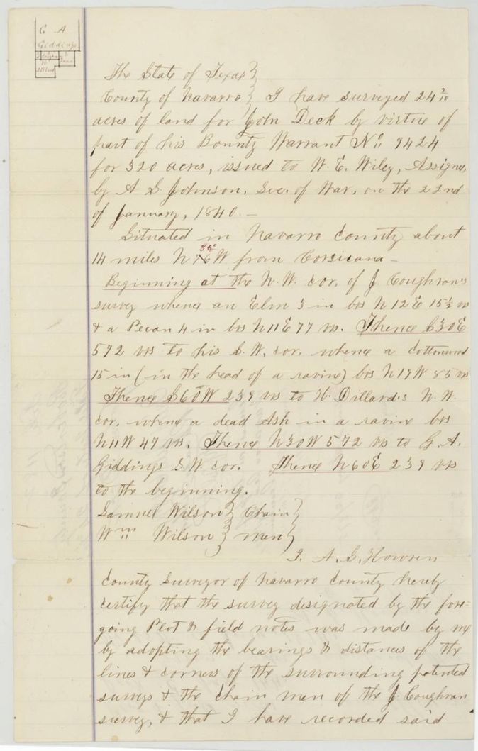
25 Jun 1874, A. S. Howren, County Surveyor of Navarro County.
Navarro County, about 14 miles N 86 W(?) from Corsicana
Chain carriers: Samuel Wilson, Wm Wilson.
Book C, page 144, Navarro County surveyor's office
The survey
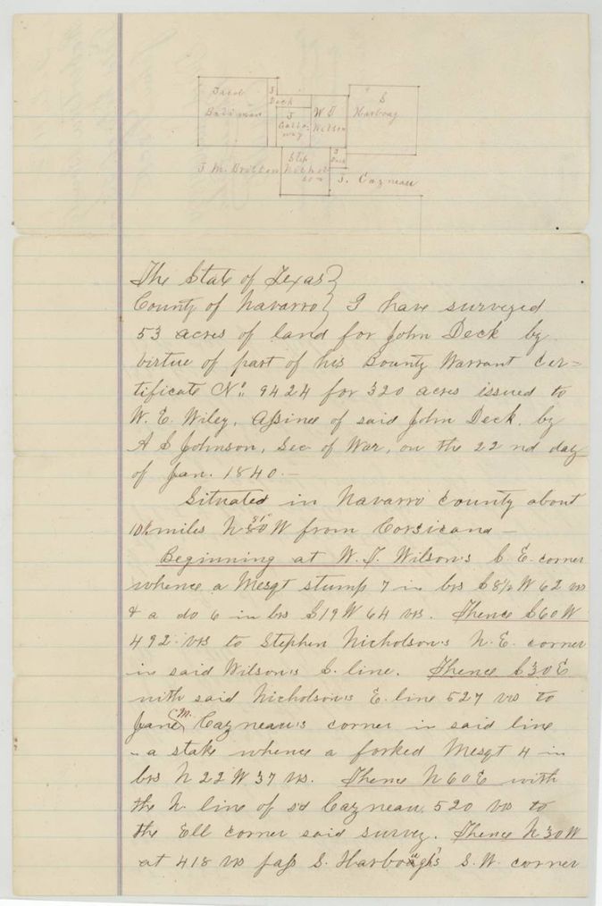
13 Feb 1874, A. S. Howren, County Surveyor of Navarro County.
Navarro County, about 10 1/2(?) miles N 80 W from Corsicana
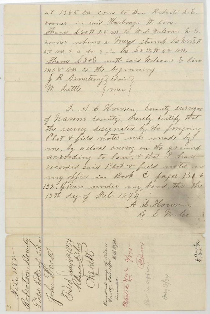
Chain carriers: J. B. Armstrong, W. Settle(?).
Book C, pages 131 and 132
The survey
13 Feb 1874, A. S. Howren, County Surveyor of Navarro County.
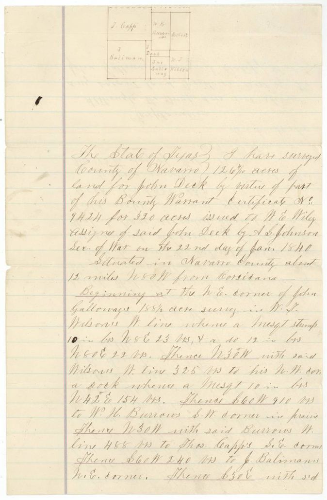
Navarro County, about 12 miles N 80 W from Corsicana
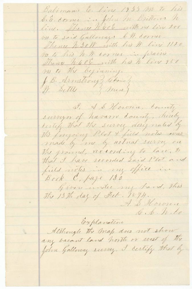
Chain carriers: J. B. Armstrong, W. Settle(?).
Book C, page 130
The patent
1875-01-22 (24.2 ac, Abst 247); 1875-11-03 (53 ac, Abst 239); 1877-02-15 (126.4 ac, Abst 249), No. 58 Vol. 15 (24.2 ac); No. 368 Vol. 15 (53 ac); No. 580 Vol. 15 (126.4 ac), to Wm E. Wiley, assignee, delivered to not stated.
Also in the file
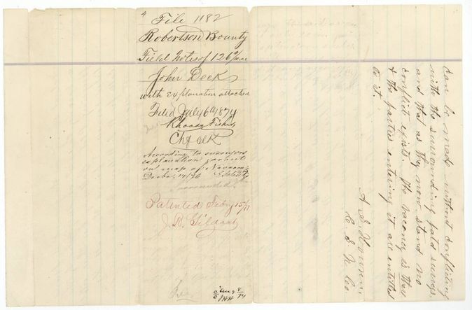
- The county map showed no vacant land at the 126.4-acre site; Howren certified a vacancy existed. Clerks marked the survey 'according to surveyor's explanation cannot be put on map of Navarro' (14 Dec 1876), and the patent was held until 15 Feb 1877.
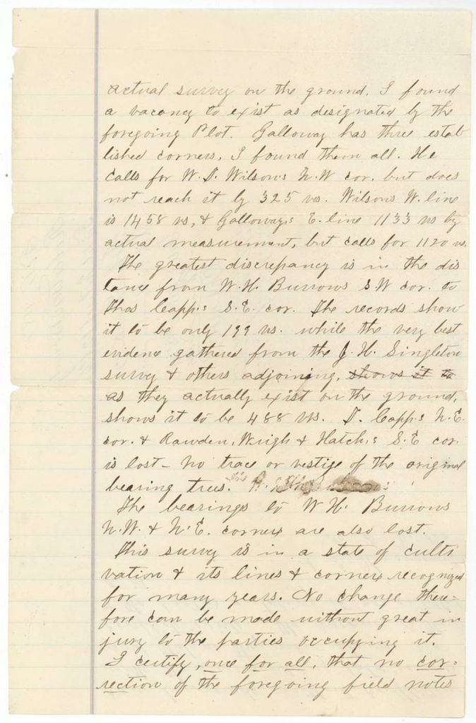
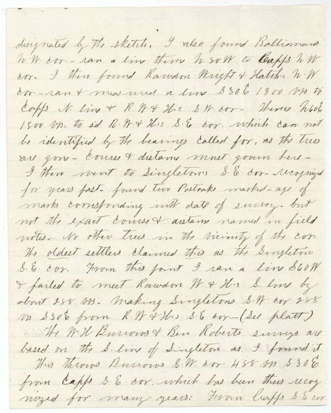
- Howren's explanation says the records show W. H. Burrows' SW corner to Thos. Capp's SE corner at only 199 varas, while the best evidence puts it at 488 varas; Capp's NE corner and Rawdon, Wright & Hatch's SE corner are lost with no trace of bearing trees.
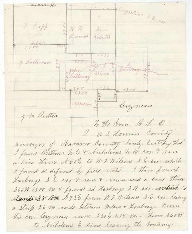
- Galloway's east line measures 1133 varas on the ground but calls for 1120; Wilson's west line is 1458 varas, so Galloway falls 325 varas short of the Wilson corner he calls for.
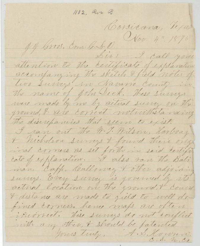
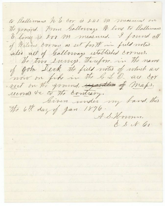
- The 4 Nov 1875 letter and the 6 Jan 1876 certificate show Howren re-running the Wilson, Harboag, Nicholson, Balimau, Capp, Galloway and Singleton lines; the Harboag SW corner stands 38 varas S 73 E of Wilson's SE corner, leaving a 26-vara strip between Wilson and Harboag.
- One bounty certificate was divided into three surveys patented in three different years (1875, 1875, 1877).
- Patent numbers as read agree with the index: 247 patent 22 Jan 1875 no. 58; 239 patent 3 Nov 1875 no. 368; 249 patent 15 Feb 1877 no. 580.
Timeline
- 22 Jan 1840Secretary of War A. Sidney Johnston issues bounty certificate 9424 for 320 acres to John Deck
- 13 Feb 1874A. S. Howren certifies and records the 53-acre and 126.4-acre surveys (Book C pp. 130-132)
- 25 Jun 1874Howren certifies the 24.2-acre survey, recorded Book C p. 144
- 6 Jul 1874Field notes filed in the General Land Office (Rhoads Fisher, Chief Clerk)
- 22 Jan 187524.2 acres patented, No. 58 Vol. 15 (Abst 247)
- 3 Nov 187553 acres patented, No. 368 Vol. 15 (Abst 239)
- 4 Nov 1875Howren writes to Commissioner Gross defending the two Deck surveys
- 6 Jan 1876Howren signs surveyor's explanation with plat; filed 12 Jan 1876
- 14 Dec 1876126-acre survey noted as not placeable on county map per explanation
- 15 Feb 1877126.4 acres patented, No. 580 Vol. 15 (Abst 249)
The papers in the file
Every page of the Land Office file, in the order the Land Office keeps them (17 pages). Tap a page to see it larger.
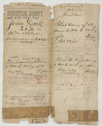 File jacketFile jacket 1182 for John Deck's Robertson Bounty certificate 9424, with patent entries for 24.2, 53 and 126.4 acres to Wm E. Wiley.General Land Office, file 1182, page 1 · in the scan
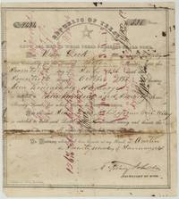 CertificateRepublic of Texas bounty certificate No. 9424 for 320 acres to John Deck, signed by A. Sidney Johnston, assigned to Wm E. Wiley.General Land Office, file 1182, page 2 · in the scan
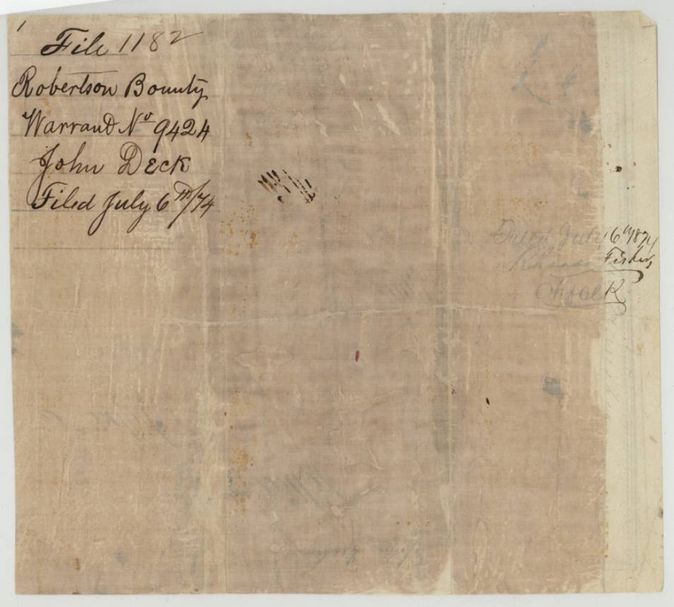
 Back of the certificateBack of the certificate, endorsed file 1182, warrant No. 9424, John Deck, filed 6 July 1874 by Rhoads Fisher.General Land Office, file 1182, page 3 · in the scan
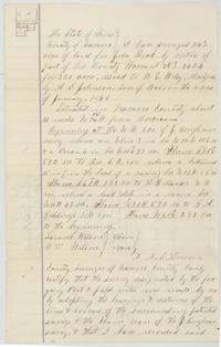 Field notesField notes and sketch for 24 2/10 acres for John Deck, surveyed by A. S. Howren, begins at J. Coughran's NW corner.General Land Office, file 1182, page 4 · in the scan
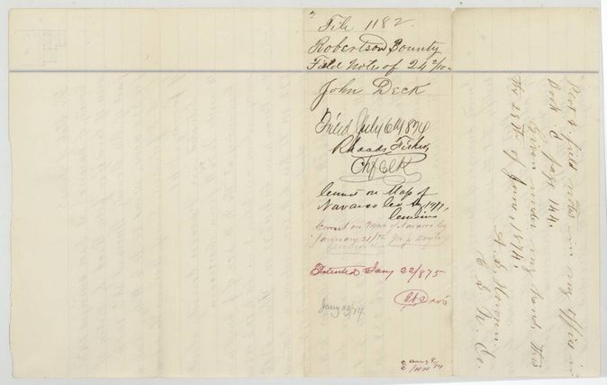
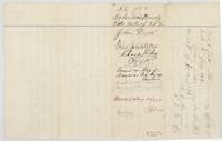 WrapperWrapper for the 24 2/10-acre field notes, filed 6 July 1874, patented 22 Jan 1875, recorded in Howren's Book C p. 144.General Land Office, file 1182, page 5 · in the scan
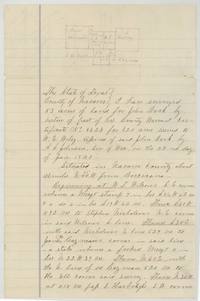 Field notesFirst page of field notes and plat for 53 acres for John Deck, beginning at W. T. Wilson's SE corner.General Land Office, file 1182, page 6 · in the scan
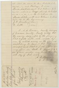 Field notesClose of the 53-acre field notes with chain carriers Armstrong and Settle(?) and Howren's certificate, recorded Book C pp. 131-132.General Land Office, file 1182, page 7 · in the scan
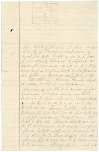 Field notesPlat and first page of the 126 4/10-acre field notes for John Deck, beginning at John Galloway's NE corner.General Land Office, file 1182, page 8 · in the scan
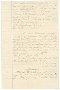 Field notesEnd of the 126-acre field notes, Book C p. 130, and the start of Howren's 'Explanation' about a vacancy the map does not show.General Land Office, file 1182, page 9 · in the scan
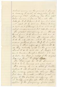 AffidavitHowren's explanation continued: lost corners, a 199 versus 488 vara discrepancy, and a vacancy that exists as designated.General Land Office, file 1182, page 10 · in the scan
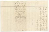 WrapperConclusion of the explanation and the wrapper for the 126 4/10-acre notes, patented 15 Feb 1877.General Land Office, file 1182, page 11 · in the scan
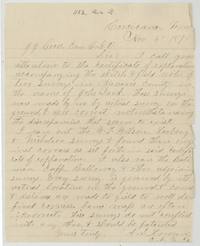 LetterA. S. Howren at Corsicana writes Commissioner Gross that the two Deck surveys are correct and should be patented.General Land Office, file 1182, page 12 · in the scan
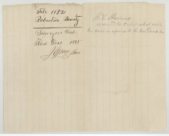
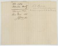 WrapperWrapper for the surveyor's certificate filed December 1875, with a note that H. V. Hurlock(?) asks what will be done about the two Deck surveys.General Land Office, file 1182, page 13 · in the scan
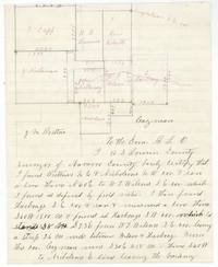 PlatSurveyor's sketch of the Galloway, Wilson, Harboag, Nicholson, Capp, Burrows and Roberts surveys with the start of Howren's certificate.General Land Office, file 1182, page 14 · in the scan
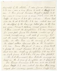 Surveyor's certificateHowren describes running the Balimau, Capp, Rawdon Wright & Hatch and Singleton corners to prove the vacancy.General Land Office, file 1182, page 15 · in the scan
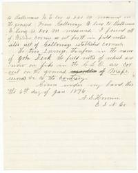 Surveyor's certificateConclusion of Howren's certificate dated 6 January 1876 that the two Deck surveys are correct on the ground.General Land Office, file 1182, page 16 · in the scan
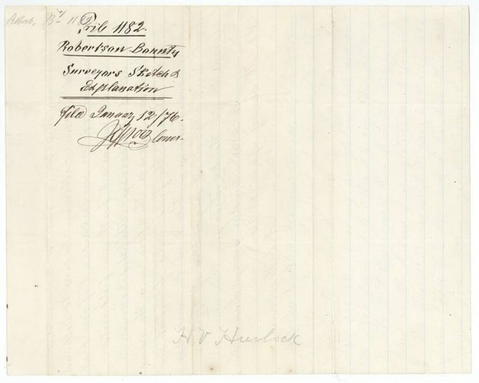
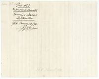 WrapperWrapper: surveyor's sketch and explanation, filed 12 January 1876 by the Commissioner.General Land Office, file 1182, page 17 · in the scan
Scans courtesy of the Texas General Land Office, Austin, from its Land Grant Database.
Neighbouring surveys
Sources
- Texas General Land Office, Land Grant Database: Navarro County, Abstract 249
- The Land Office file, scanned (PDF, at the General Land Office)
- 1924 map: courtesy of the Texas General Land Office, Austin, Map 73249, used under licence. Topo: U.S. Geological Survey, The National Map. Aerial photographs: U.S. Department of Agriculture, National Agriculture Imagery Program, 2012, 2018 and 2022. Survey outlines: Railroad Commission of Texas, Original Texas Land Survey. Grant records and files: Texas General Land Office.