Blackland TX · ← All the original surveys
John Galloway Survey, Abstract 317
- Granted to
- John Galloway
- Kind of grant
- Headright, third classLand for later settlers, including the colonists of Mercer’s Colony.
- Land Office file
- Robertson 3rd class, file 3462
- Acres
- 188.50
- Patented to
- Heirs of John Galloway
- Patent
- 23 Mar 1863 · No. 576, Vol. 36
Tap a survey to open its page.
What the file shows
The heirs of John Galloway received part of a Mercer's Colony certificate from the Navarro County district court on 18 October 1856. Milton Wright surveyed 188 1/2 acres of it over the head of Briar Creek in March 1857. The Land Office issued patent No. 576, Vol. 36 to the heirs in March 1863.
The certificate
colony certificate, Mercer's Colony, district court (3rd class), to the heirs, No. not written in this file (index blank; jacket refers to files 3-4249 and 3-4580 Rob. for the certificate and the other survey), 188 1/2 located in this file (part of a larger certificate), District Court of Navarro County, Navarro County, 18 Oct 1856.
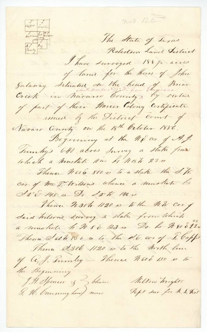
Survey is made 'for the heirs of John Galaway ... by virtue of part of their Mercer Colony certificate issued by the District Court of Navarro County on the 18th October 1856'
The survey
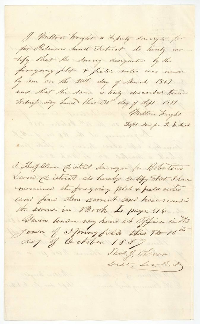
1857-03-24 (certified 1857-09-30), Milton Wright, Deputy Surveyor for Robertson Land District.
Navarro County over the head of Briar Creek, about 11 miles N 77 W from Corsicana (red-ink addition)
Chain carriers: J. H. Spencer, G. H. Cunningham.
Book L, page 416
The patent
1863-03-21 (wrapper); jacket writes March 2? with a 5 or 3 overwritten, No. 576, Vol. 36, to the heirs of John Galloway, delivered to probably Jas. E. Patton(?): jacket note 'Vol 36 page 576 ... Jas. E. Patton, June 24 1863'.
Also in the file
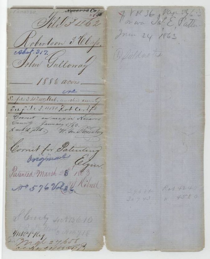
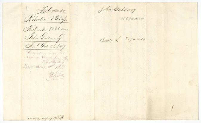
- The patent date is written three ways: March 21st on the wrapper, March 2(3?) on the jacket with a figure overwritten; the index gives 23 Mar 1863.
- The tract name is spelled both 'Galloway' and 'Galaway'.
- The certificate is in another file (3-4580), and the jacket also points to file 3-4249 for another survey made on the same certificate.
- A 'not Robtn' pencil note suggests the clerk doubted the Robertson classification.
- The survey was made 24 March 1857 for 'heirs', but a patent did not issue until 1863, with a map check in January 1863.
Timeline
- 18 Oct 1856Navarro County District Court issues a Mercer Colony certificate to the heirs of John Galloway
- 24 Mar 1857Milton Wright surveys 188 1/2 acres over the head of Briar Creek
- 30 Sep 1857Wright certifies the survey
- 10 Oct 1857Thos. J. Oliver examines and records the field notes, Book L p. 416
- 26 Oct 1857Field notes filed in the Land Office
- 5 Jan 1863Checked correct on the map of Navarro County
- 21 Mar 1863Patent No. 576, Vol. 36 to the heirs of John Galloway
The papers in the file
Every page of the Land Office file, in the order the Land Office keeps them (4 pages). Tap a page to see it larger.
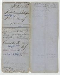 File jacketFile jacket 3462 for the heirs of John Galloway's 188 1/2 acres, abstract 317, patented March 1863.General Land Office, file 3462, page 1 · in the scan
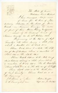 Field notesMilton Wright's field notes and plat of 188 1/2 acres over the head of Briar Creek for John Galaway's heirs.General Land Office, file 3462, page 2 · in the scan
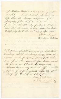 Surveyor's certificateWright's certificate of 30 September 1857 and Thos. J. Oliver's examination recording the notes in Book L page 416.General Land Office, file 3462, page 3 · in the scan
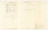 WrapperWrapper for the Galloway field notes, filed 26 October 1857, patented March 21st 1863.General Land Office, file 3462, page 4 · in the scan
Scans courtesy of the Texas General Land Office, Austin, from its Land Grant Database.
Neighbouring surveys
Sources
- Texas General Land Office, Land Grant Database: Navarro County, Abstract 317
- The Land Office file, scanned (PDF, at the General Land Office)
- 1924 map: courtesy of the Texas General Land Office, Austin, Map 73249, used under licence. Topo: U.S. Geological Survey, The National Map. Aerial photographs: U.S. Department of Agriculture, National Agriculture Imagery Program, 2012, 2018 and 2022. Survey outlines: Railroad Commission of Texas, Original Texas Land Survey. Grant records and files: Texas General Land Office.