Blackland TX · ← All the original surveys
John Anderson Survey, Abstract 29
- Granted to
- John Anderson
- Kind of grant
- Headright, third classLand for later settlers, including the colonists of Mercer’s Colony.
- Land Office file
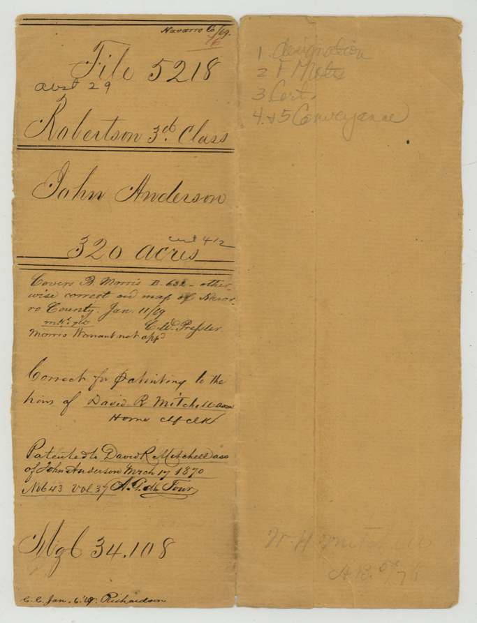
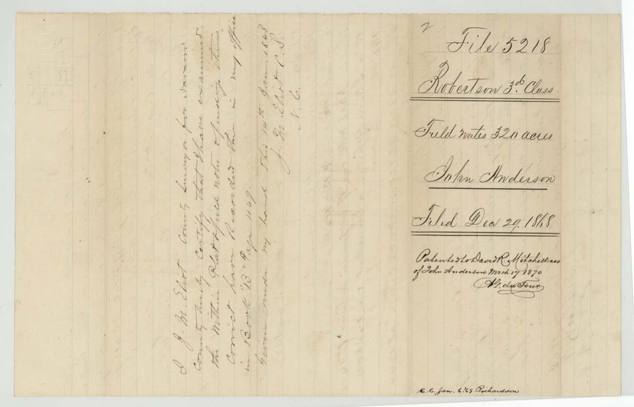
- Robertson 3rd class, file 5218
- Certificate
- No. 412
- Acres
- 320
- Patented to
- David R. Mitchell
- Patent
- 17 Mar 1870 · No. 643, Vol. 37
Tap a survey to open its page.
What the file shows
John Anderson received Mercer's Colony certificate No. 412 for 320 acres at Buffalo, Henderson County, on 26 April 1850. He sold it by mark to James T. Caddell in January 1851, and Caddell sold it to David R. Mitchell for $25 (deed proved at Waco in April 1852). Nothing more happened until 1868, when Navarro County surveyor J. M. Elliot re-used the field notes of an earlier Burrel Morris survey on Briar Creek, about 10 1/2 miles NW of Corsicana, as Anderson's survey, and W. H. Mitchell filed for the heirs of D. R. Mitchell. The GLO noted that it covered the Morris survey, whose warrant had not been approved, and patented the land to David R. Mitchell, assignee, on 17 March 1870.
The certificate
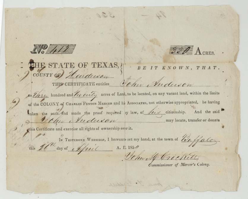
No. 412, 320 acres, John M. Crockett, Commissioner of Mercer's Colony, Town of Buffalo, Henderson County, 26 Apr 1850.
Mercer's Colony (Charles Fenton Mercer and Associates) colonist certificate: entitles John Anderson to 320 acres on vacant land within the limits of the colony, 'he having taken the oath and made the proof required by law of his citizenship'; may locate, transfer or donate it. Printed form, filled by hand.
Changes of hand
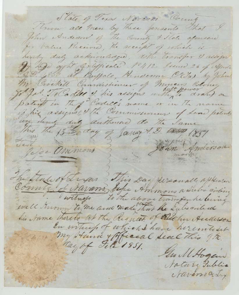
- 13 Jan 1851John Anderson (his mark), of Navarro County → Jas. T. Cadell [Caddell] and his assigns, value received (not stated), Navarro County. Transfers certificate No. 412 with full power to draw a patent in Cadell's name or his assigns'.
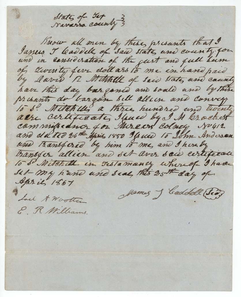
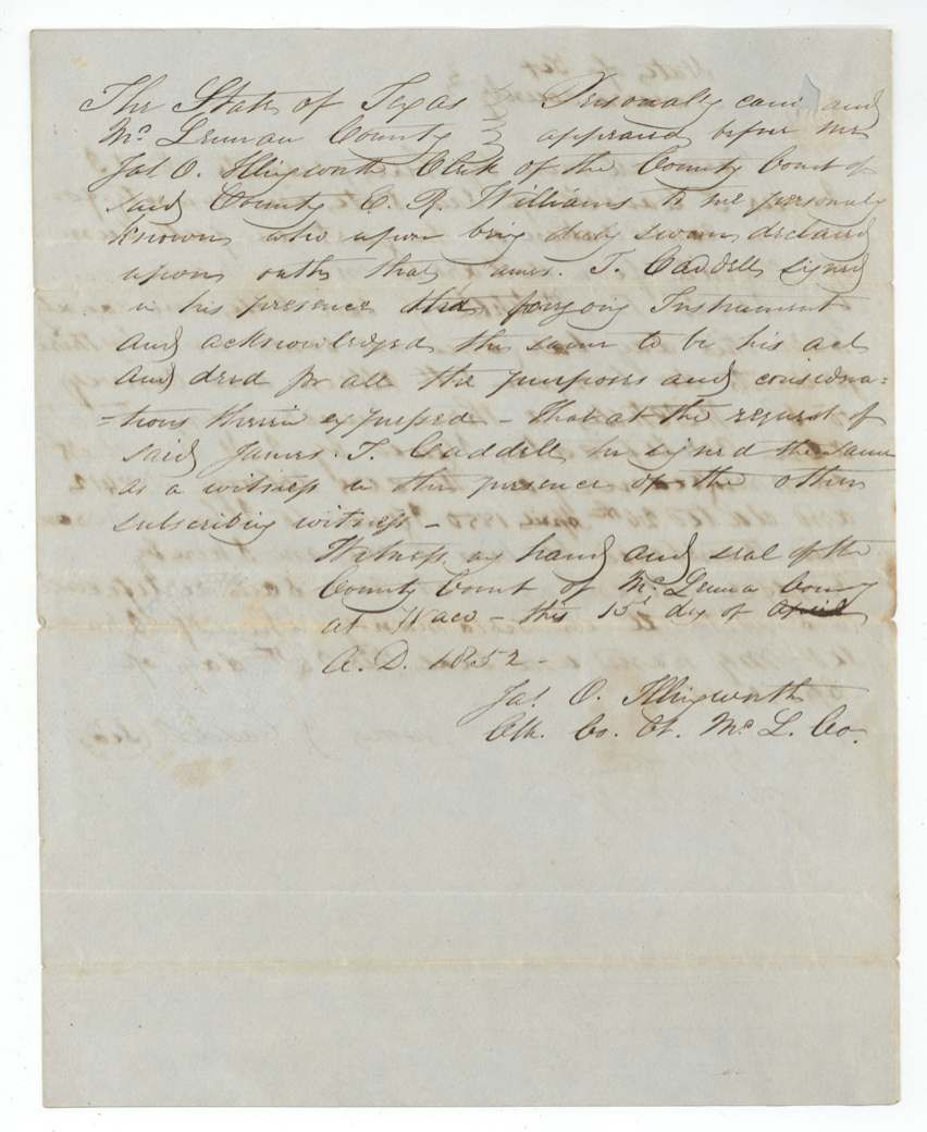
- 25 April, year written '1867' but proved 15 April 1852, so the deed must predate that; probably 1851James T. Caddell, of Navarro County → David R. Mitchell, of Navarro County, $25, Navarro County. Conveys the 320-acre certificate No. 412 'issued to John Anderson and transferred by him to me'.
The survey
1868-01-04 (adoption), J. M. Elliot (adopting the earlier Burrel Morris field notes).
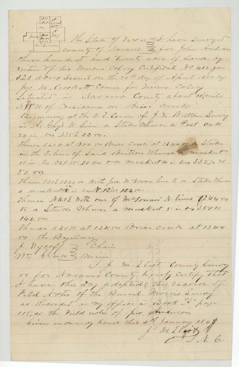
Navarro County about 10 1/2 miles N 39 W [first written N 99 W, corrected] of Corsicana on Briar Creek. Beginning at the S.E. corner of J. M. Britton's survey in N. [A.] Gay's W line; thence S 60 W crossing Briar Creek at 1300 vrs, 1344 vrs to stake in S line of Britton; S 30 E 1344 vrs with Jno. McGowan's line; N 60 E with one of McGowan's N lines 1344 vrs; N 30 W crossing Briar Creek at 1211 vrs, 1344 vrs to beginning. Bearing trees post oak, mesquite.
Chain carriers: J. Nycoff (Wycoff?), Wm. Green(?).
Morris field notes originally recorded Book A p. 115; Anderson notes recorded Book B p. 469, 14 Jan 1868
The patent
17 Mar 1870, No. 643(?) Vol. 37, to David R. Mitchell, assignee of John Anderson, delivered to illegible faint pencil on jacket, possibly 'W. H. Mitchell' (?).
Also in the file
- Map check (C. W. Pressler, 11 Jan 1869): 'Covers B. Morris B. 632 - otherwise correct on map of Navarro County ... Morris warrant not app'd' - the Anderson certificate was laid on ground already surveyed for Burrel Morris, whose warrant was not approved.
- A Mercer Colony certificate filed in the Robertson 3rd Class series.
- Caddell-to-Mitchell deed year reads '1867' yet was proved before the McLennan clerk in April 1852 - the year as written is impossible; probably 1851.
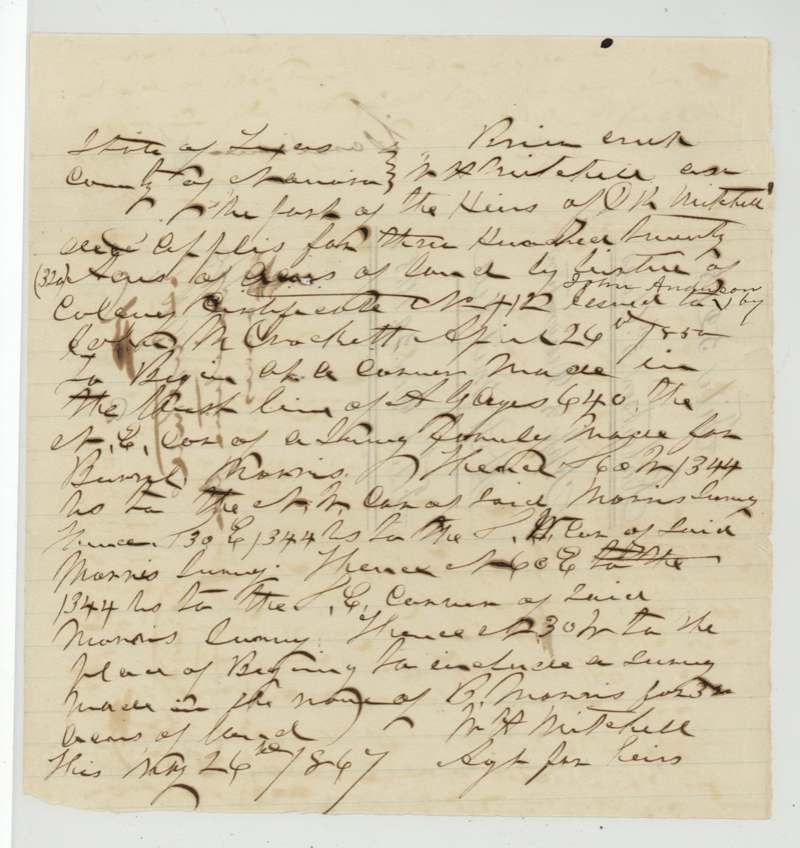
- Application date reads '1847(?)' which precedes the 1850 certificate; year unreadable with certainty.
- Patent issued about 20 years after the certificate; David R. Mitchell dead by the time of the application (heirs apply through W. H. Mitchell) yet patent written to David R. Mitchell, assignee.
Timeline
- 26 Apr 1850Mercer Colony certificate No. 412, 320 acres, issued to John Anderson at Buffalo, Henderson Co., by John M. Crockett
- 13 Jan 1851Anderson (by mark) transfers certificate to James T. Caddell, Navarro Co.; witness Jesse Ammons
- 9 Feb 1851Transfer proved before notary Geo. M. Hogan(?), Navarro Co.
- 1851(?)-04-25Caddell sells certificate to David R. Mitchell for $25
- 15 Apr 1852Caddell deed proved by E. R. Williams before McLennan Co. clerk at Waco
- 4 Jan 1868County surveyor J. M. Elliot adopts the Burrel Morris field notes (Book A p.115) as Anderson's
- 14 Jan 1868Field notes certified and recorded Book B p. 469
- 29 Dec 1868Application, field notes, certificate and conveyances filed in GLO
- 11 Jan 1869Map check: covers B. Morris survey; Morris warrant not approved
- 17 Mar 1870Patent to David R. Mitchell, assignee of John Anderson
The papers in the file
Every page of the Land Office file, in the order the Land Office keeps them (12 pages). Tap a page to see it larger.
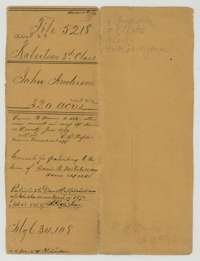 File jacketFile jacket for John Anderson's 320 acres, a Mercer's Colony certificate on Briar Creek in Navarro County, patented to David R. Mitchell in March 1870.General Land Office, file 5218, page 1 · in the scan
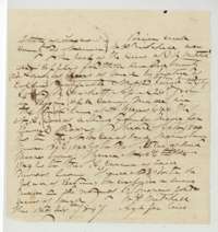 Other papersApplication and designation by an agent for the heirs of David R. Mitchell to locate 320 acres on Briar Creek on Colony Certificate No. 412.General Land Office, file 5218, page 2 · in the scan
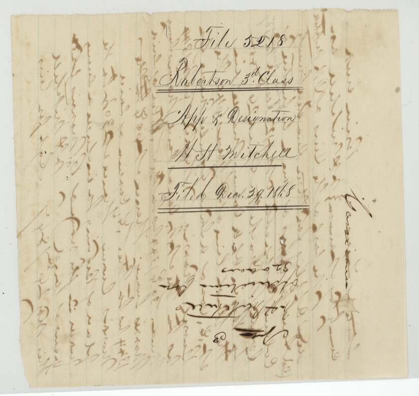
 WrapperFiling wrapper for the application and designation, received at the Land Office 29 December 1868.General Land Office, file 5218, page 3 · in the scan
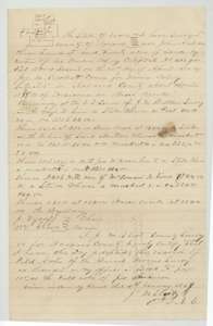 Field notesField notes for 320 acres on Briar Creek, adopted 4 January 1868 by Navarro County surveyor J. M. Elliot from an earlier survey, with a small sketch plat.General Land Office, file 5218, page 4 · in the scan
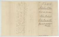 WrapperField-notes wrapper for John Anderson's 320 acres, filed 29 December 1868, with the surveyor's certificate and the patent note.General Land Office, file 5218, page 5 · in the scan
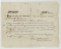 CertificateMercer's Colony certificate No. 412 entitling John Anderson to 320 acres, signed by Commissioner John M. Crockett at Buffalo on 26 April 1850.General Land Office, file 5218, page 6 · in the scan
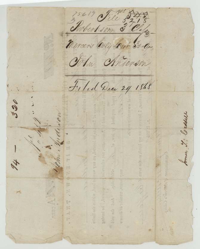
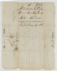 Back of the certificateBack of Anderson's colony certificate, endorsed with his name and that of James T. Caddell and filed 29 December 1868.General Land Office, file 5218, page 7 · in the scan
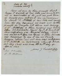 TransferConveyance from James T. Caddell to David R. Mitchell of Anderson's 320-acre certificate No. 412 for $25.General Land Office, file 5218, page 8 · in the scan
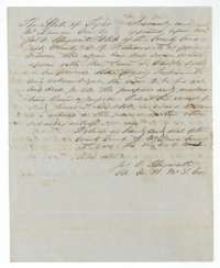 TransferClerk's certificate at Waco, 15 April 1852, proving James T. Caddell's conveyance of the certificate to David R. Mitchell.General Land Office, file 5218, page 9 · in the scan
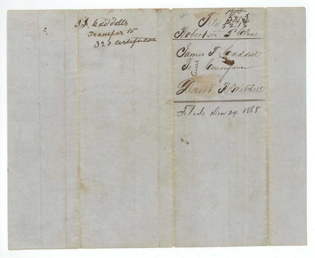
 WrapperWrapper for James T. Caddell's transfer of the certificate to David R. Mitchell, filed 29 December 1868.General Land Office, file 5218, page 10 · in the scan
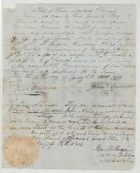 TransferTransfer of certificate No. 412 from John Anderson, by his mark, to James T. Caddell, dated 13 January 1851, with the notary's proof of 9 February 1851.General Land Office, file 5218, page 11 · in the scan
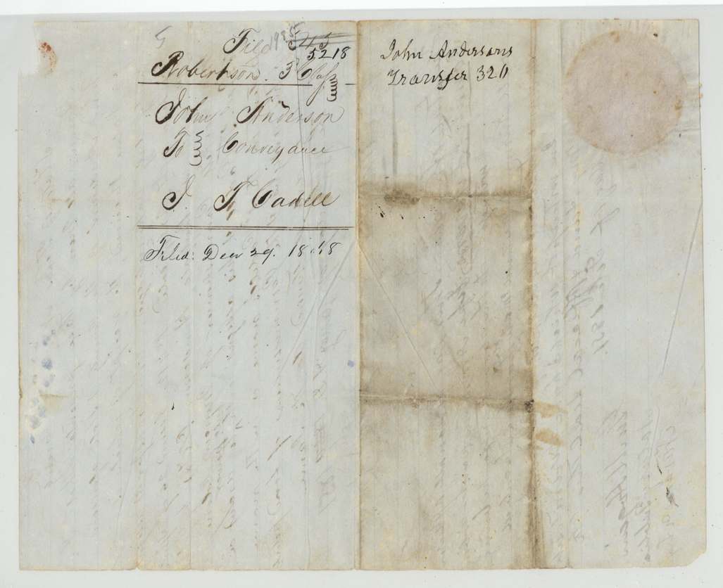
 WrapperWrapper for John Anderson's transfer of 320 acres to James T. Caddell, filed 29 December 1868.General Land Office, file 5218, page 12 · in the scan
Scans courtesy of the Texas General Land Office, Austin, from its Land Grant Database.
Neighbouring surveys
Sources
- Texas General Land Office, Land Grant Database: Navarro County, Abstract 29
- The Land Office file, scanned (PDF, at the General Land Office)
- 1924 map: courtesy of the Texas General Land Office, Austin, Map 73249, used under licence. Topo: U.S. Geological Survey, The National Map. Aerial photographs: U.S. Department of Agriculture, National Agriculture Imagery Program, 2012, 2018 and 2022. Survey outlines: Railroad Commission of Texas, Original Texas Land Survey. Grant records and files: Texas General Land Office.