Blackland TX · ← All the original surveys
John Bowie Survey, Abstract 65
- Granted to
- John Bowie
- Kind of grant
- Headright, first classLand for settlers who were in Texas before independence, 2 March 1836.
- Land Office file
- Robertson 1st class, file 1165
- Certificate
- No. 135
- Acres
- 28
- Patented to
- John Bowie
- Patent
- 03 Jan 1871 · No. 311, Vol. 18
Tap a survey to open its page.
What the file shows
John Bowie held a 369-acre augmentation certificate (No. 135) issued by the San Augustine County land board on 1 February 1838. Most of it was located elsewhere (file 1121), and in June 1870 Navarro County Surveyor J. B. W. Bailey surveyed the last two pieces: 62 acres on Chambers Creek north-west of Corsicana and 28 acres on Richland Creek west of Corsicana, next to J. R. Meador. Both field notes were filed in Austin on 18 July 1870, checked on the county map in September, and patented to John Bowie himself on 24 December 1870 and 3 January 1871. No sale of the certificate is recorded in this file.
The certificate
headright 1st class (augmentation), No. 135, 369 acres, Board of Land Commissioners for San Augustine County, San Augustine County, 1 Feb 1838.
Augmentation certificate (the land-office jacket calls it 'Augment. Cert No 135'); the certificate itself is not in this file, and the surveys say these two tracts are the balance / part of it. The jacket refers to the certificate and other surveys in Robertson file 1121.
The survey
7 Jun 1870, J. B. W. Bailey (spelled Baily/Bailey), County Surveyor of Navarro County.
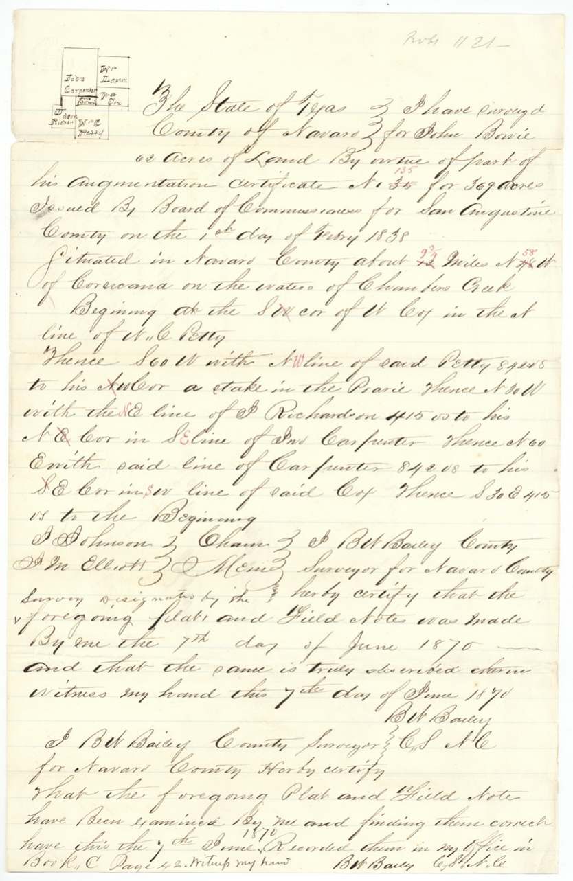
Navarro County, about 9 3/4 miles N 58 W of Corsicana (distance and bearing corrected in red), on the waters of Chambers Creek; begins at the SW (?) corner of W. Cox in the N line of W. C. Petty
Chain carriers: J. Johnson, J. M. Elliott.
Book C, page 42, 7 June 1870
The survey
8 Jun 1870, J. B. W. Bailey, County Surveyor of Navarro County.
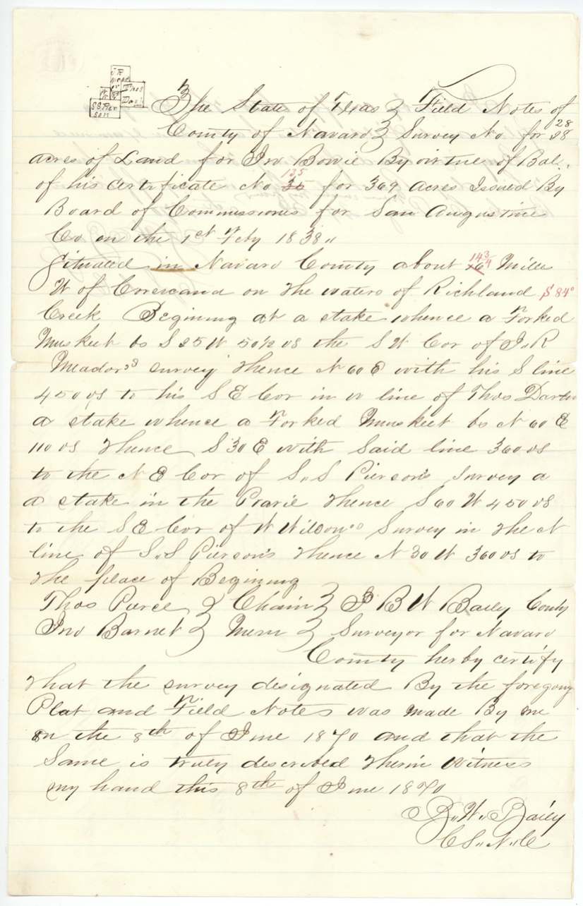
Navarro County, about 14 3/4 (?) miles W of Corsicana (corrected in red, with 'S 84' (?)' added), on the waters of Richland Creek; begins at a stake from which a forked mesquite bears S 35 W 50 1/2 varas, the SW corner of J. R. Meador's survey
Chain carriers: Thos. Purcell or Pierce (?), Jno. Barnet.
Book C, page 44, 8 June 1870
The patent
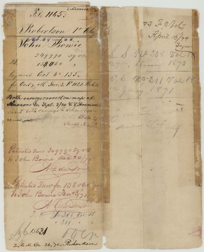
1870-12-24 (62 acres) and 1871-01-03 (28 acres), No. 308, Vol. 18 (62 acres, dated 27 Dec 1870 on the jacket's right panel) and No. 311, Vol. 18 (28 acres, 3 Jan 1871), to John Bowie, delivered to J. M. Elliott (?) (pencil on jacket).
Also in the file
- A certificate issued in 1838 was not finished being located until 1870, thirty-two years later, when its last two small pieces were surveyed in Navarro County.
- The two pieces are far apart: one on Chambers Creek north-west of Corsicana, the other on Richland Creek west of Corsicana.
- The certificate number was miswritten as 35 on both field notes and corrected to 135 in red by the Land Office.
- The 28-acre tract's area was first figured at 157,964 square varas and corrected to 158,060.
Timeline
- 1 Feb 1838Augmentation certificate No. 135 for 369 acres issued to John Bowie by the San Augustine County board
- 7 Jun 187062 acres surveyed on Chambers Creek by County Surveyor J. B. W. Bailey; recorded Book C p. 42
- 8 Jun 187028 acres surveyed on Richland Creek; recorded Book C p. 44
- 18 Jul 1870Both field notes filed in the General Land Office
- 3 Sep 1870Both surveys checked as correct on the Navarro County map
- 24 Dec 187062-acre survey patented to John Bowie (Patent No. 308, Vol. 18)
- 3 Jan 187128-acre survey patented to John Bowie (Patent No. 311, Vol. 18)
The papers in the file
Every page of the Land Office file, in the order the Land Office keeps them (6 pages). Tap a page to see it larger.
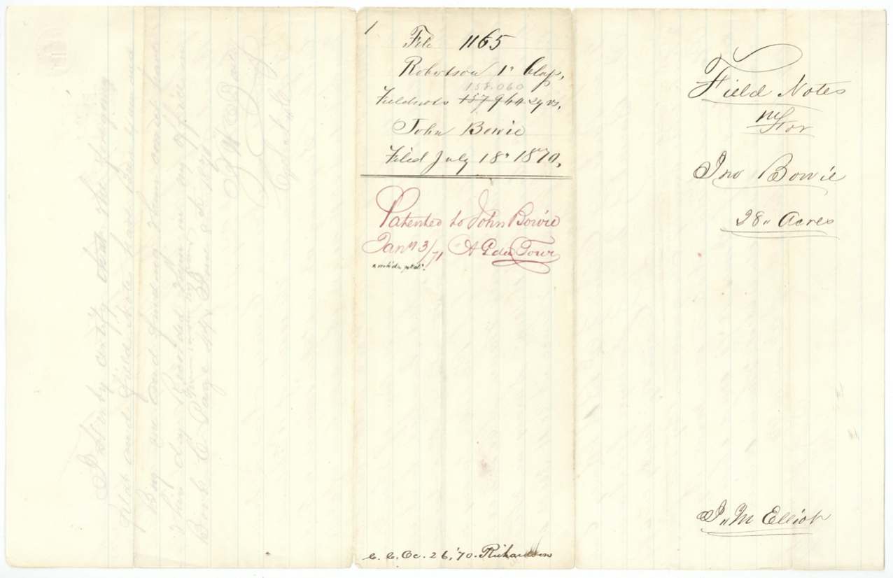
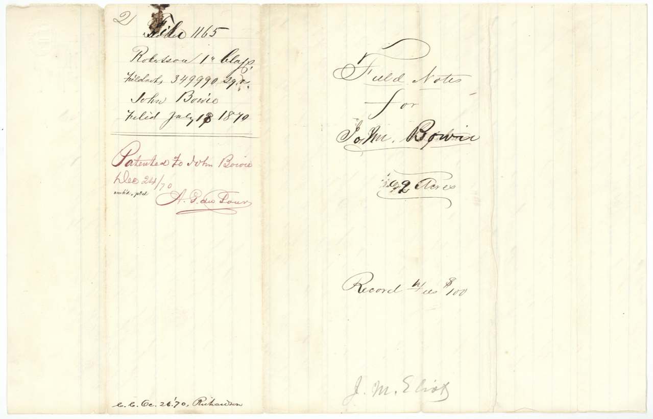
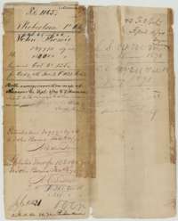 File jacketFile jacket for John Bowie's two small surveys in Navarro County, listing the augmentation certificate and the patents of December 1870 and January 1871.General Land Office, file 1165, page 1 · in the scan
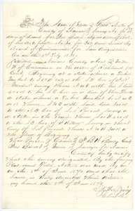 Field notesField notes and plat for 28 acres on the waters of Richland Creek, surveyed for John Bowie by county surveyor J. B. W. Bailey, 8 June 1870.General Land Office, file 1165, page 2 · in the scan
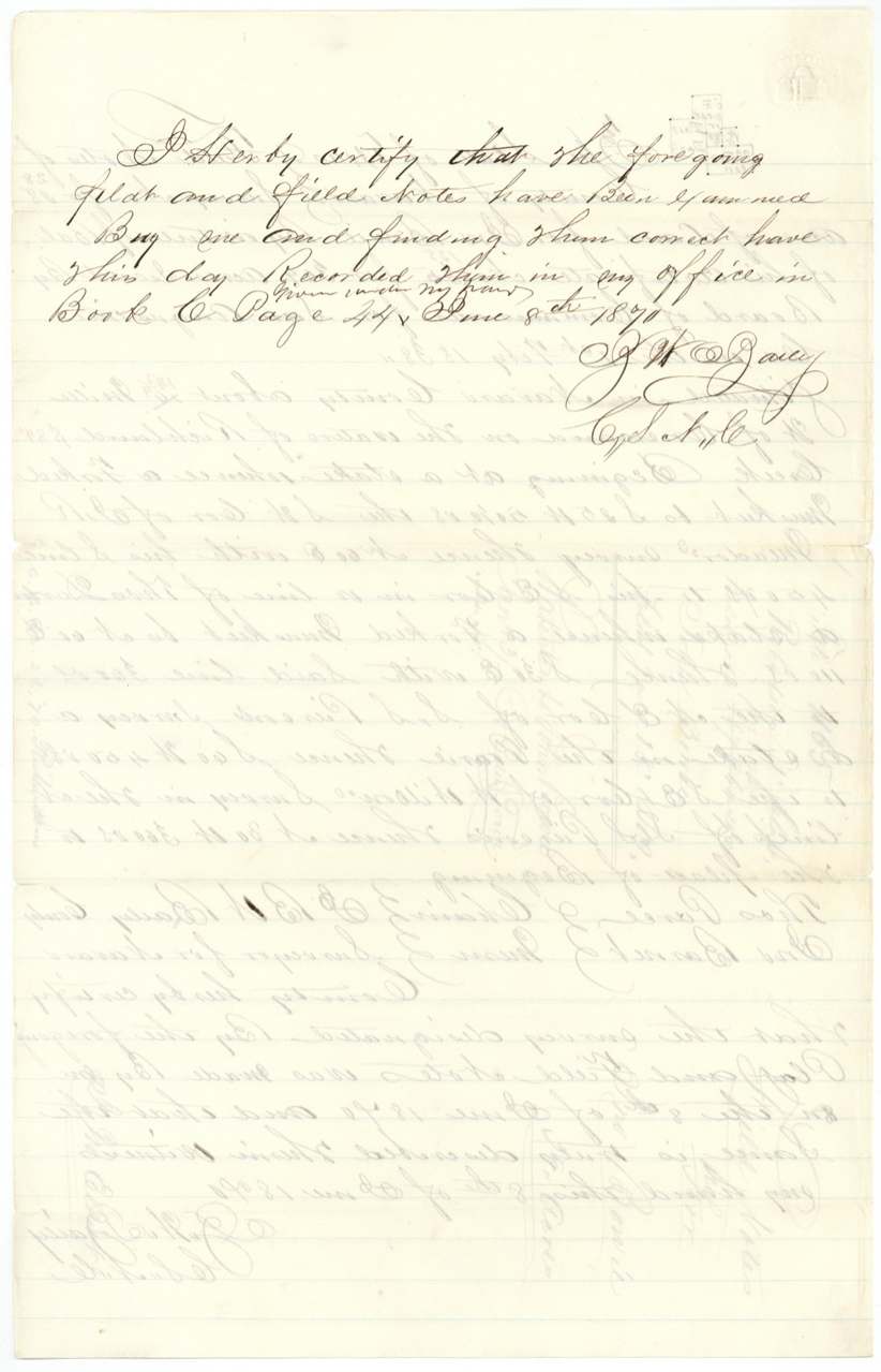
 Surveyor's certificateCounty surveyor Bailey's certificate that the 28-acre Bowie plat and field notes are correct and recorded in Book C, page 44, 8 June 1870.General Land Office, file 1165, page 3 · in the scan
 WrapperWrapper for the 28-acre Bowie field notes, filed 18 July 1870 and marked as patented to John Bowie.General Land Office, file 1165, page 4 · in the scan
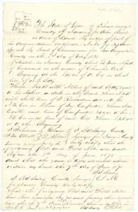 Field notesField notes and plat for 62 acres on the waters of Chambers Creek, surveyed for John Bowie by county surveyor J. B. W. Bailey, 7 June 1870.General Land Office, file 1165, page 5 · in the scan
 WrapperWrapper for the 62-acre Bowie field notes, filed 18 July 1870 and marked as patented to John Bowie.General Land Office, file 1165, page 6 · in the scan
Scans courtesy of the Texas General Land Office, Austin, from its Land Grant Database.
Neighbouring surveys
Sources
- Texas General Land Office, Land Grant Database: Navarro County, Abstract 65
- The Land Office file, scanned (PDF, at the General Land Office)
- 1924 map: courtesy of the Texas General Land Office, Austin, Map 73249, used under licence. Topo: U.S. Geological Survey, The National Map. Aerial photographs: U.S. Department of Agriculture, National Agriculture Imagery Program, 2012, 2018 and 2022. Survey outlines: Railroad Commission of Texas, Original Texas Land Survey. Grant records and files: Texas General Land Office.