Blackland TX · ← All the original surveys
James M. Clendening Survey, Abstract 182
- Granted to
- James M. Clendening
- Kind of grant
- Headright, third classLand for later settlers, including the colonists of Mercer’s Colony.
- Land Office file
- Robertson 3rd class, file 4027
- Acres
- 290
- Patented to
- J. B. Tyus
- Patent
- 05 Jun 1860 · No. 505, Vol. 29
Tap a survey to open its page.
What the file shows
James M. Clendening proved in the Hopkins County District Court in November 1857 that he had settled in Mercer's Colony as a single man by October 1848, and was granted a 320-acre certificate. Within six weeks he sold it in Limestone County to J. B. Tyus for $80. Deputy surveyor Milton Wright located 290 acres of it on Mill Creek, about 20 miles west of Corsicana, in January 1858, and the patent issued to Tyus as assignee in June 1860.
The certificate
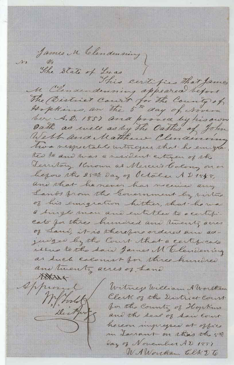
headright 3rd class, No. none written (Mercer's Colony district-court certificate), 320 (290 located in this file), District Court of Hopkins County; approved by the District Judge W. S. Todd(?); attested by William A. Wortham, Clerk, Tarrant, Hopkins County, 5 Nov 1857.
Proved by his own oath and those of John Webb and Matthew Clendenning that he emigrated to and was a resident citizen of Mercer's Colony on or before 25 Oct 1848, had received no land for that emigration, and was a single man - entitled to 320 acres as a colonist
Changes of hand
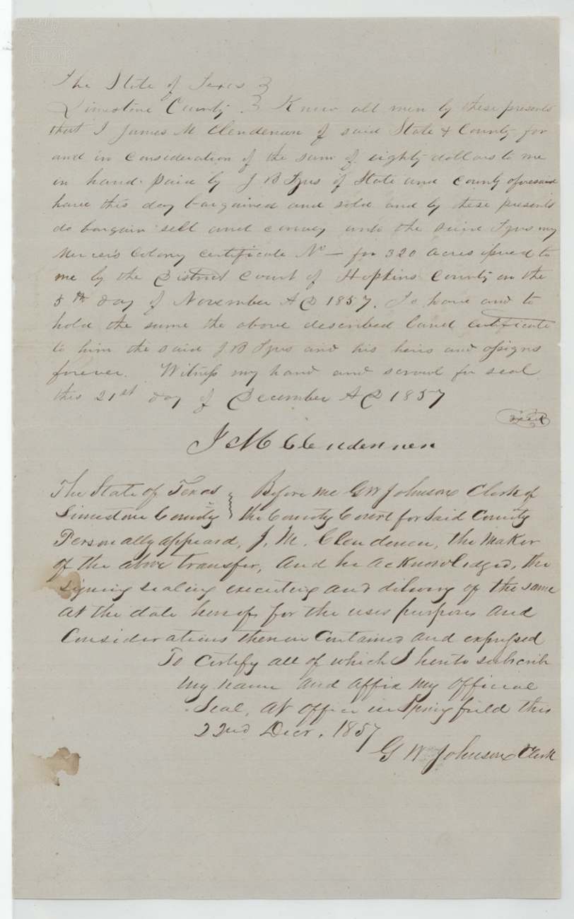
- 21 Dec 1857James M. Clendenen (Clendening), of Limestone County → J. B. Tyus, of Limestone County, $80, Limestone County, Texas. Sells the whole 320-acre Mercer's Colony certificate; filed GLO 13 Feb 1858
The survey
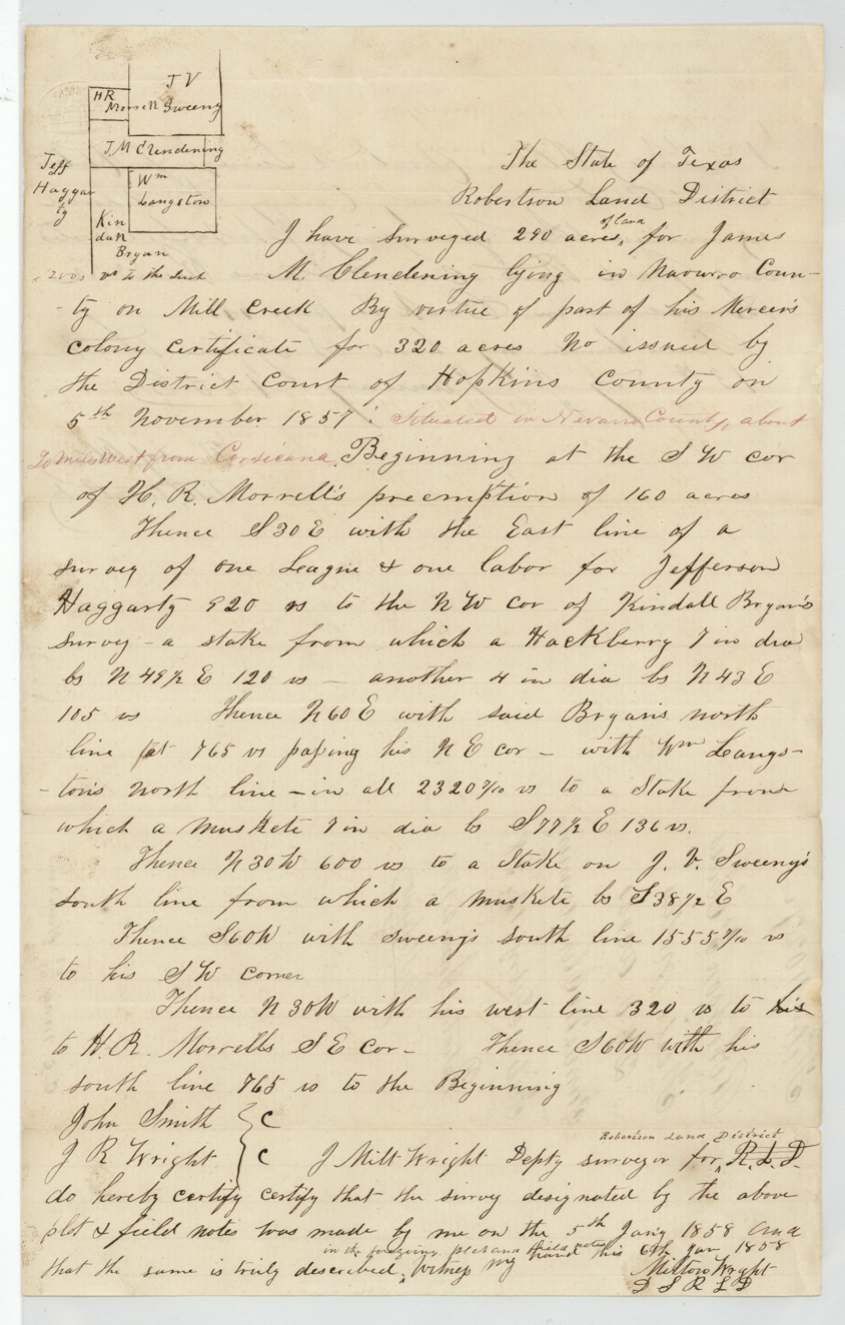
1858-01-05 (certified 1858-01-06), Milton Wright, Deputy Surveyor, Robertson Land District.
Navarro County on Mill Creek; red-ink addition: about 20 miles west from Corsicana
Chain carriers: John Smith, J. R. Wright.
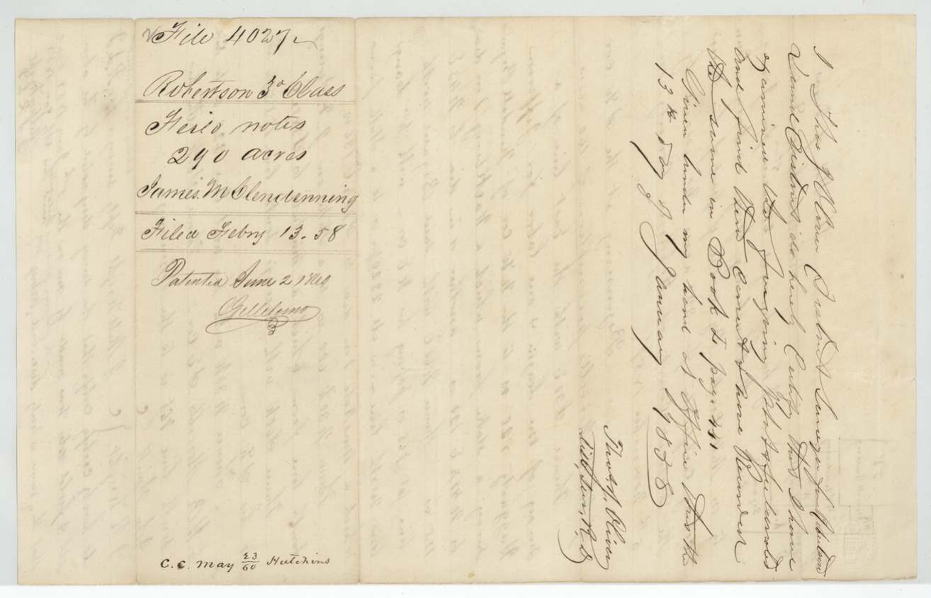
Book L, page 441
The patent
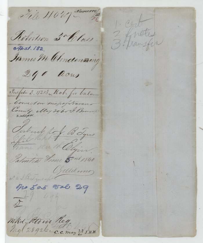
1860-06-02 (jacket shows 2nd with a 5 written over it), No. 505, Vol. 29, to J. B. Tyus, assignee, delivered to not stated.
Also in the file
- Clendening sold his certificate to J. B. Tyus on 21 December 1857, but the survey two weeks later was still made in Clendening's own name - normal practice, since the land followed the certificate.
- Clendening was certified by the Hopkins County court but is described as 'of Limestone County' a month later when he sold.
- The patent date on the jacket has a 5 written over the 2; the back of the field notes says June 2, 1860.
- Only 290 of the 320 acres were placed here; the balance went to another file (3-4213).
Timeline
- 25 Oct 1848Date by which he says he was resident in Mercer's Colony
- 5 Nov 1857Hopkins County District Court orders a 320-acre certificate for James M. Clendening
- 21 Dec 1857Sells certificate to J. B. Tyus for $80 in Limestone County
- 5 Jan 1858Milton Wright surveys 290 acres on Mill Creek, Navarro County
- 13 Jan 1858Examined and recorded, Book L p. 441
- 13 Feb 1858Papers filed in the General Land Office
- 29 May 1860Checked correct on Navarro County map
- 2 Jun 1860Patent No. 505 Vol. 29 to J. B. Tyus, assignee
The papers in the file
Every page of the Land Office file, in the order the Land Office keeps them (7 pages). Tap a page to see it larger.
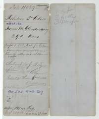 File jacketFile jacket for James M. Clendening's 290 acres on Mill Creek in Navarro County, listing the certificate, field notes and transfer; patented 2 June 1860.General Land Office, file 4027, page 1 · in the scan
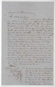 CertificateHopkins County District Court certificate of 5 November 1857 that James M. Clendening, a settler in Mercer's Colony, is entitled to 320 acres.General Land Office, file 4027, page 2 · in the scan
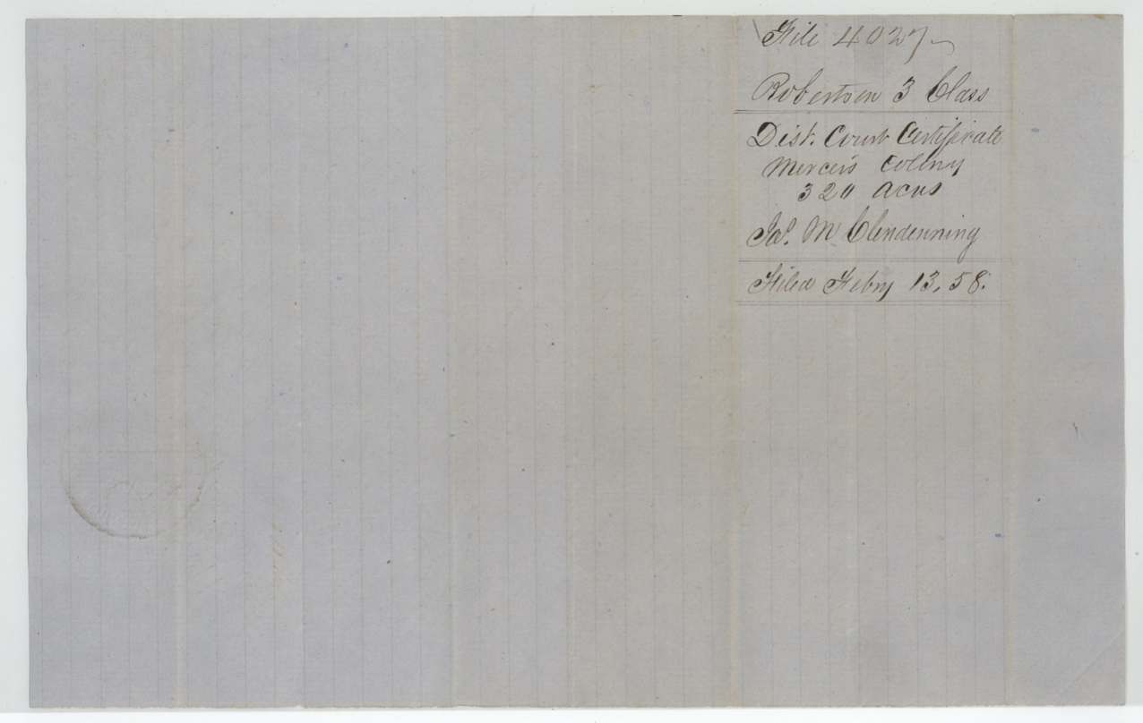
 WrapperWrapper for the Hopkins County district court certificate of James M. Clendening, 320 acres, filed 13 February 1858.General Land Office, file 4027, page 3 · in the scan
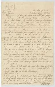 Field notesField notes for 290 acres on Mill Creek surveyed for James M. Clendening by deputy surveyor Milton Wright on 5 January 1858.General Land Office, file 4027, page 4 · in the scan
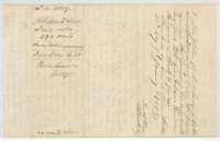 WrapperWrapper for the field notes of James M. Clendening, 290 acres, with the district surveyor's certificate that they are recorded in Book L, page 441.General Land Office, file 4027, page 5 · in the scan
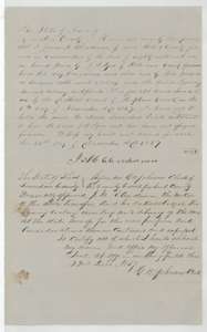 TransferTransfer of 21 December 1857 in which James M. Clendening sells his 320-acre colony certificate to J. B. Tyus for $80, acknowledged at Springfield.General Land Office, file 4027, page 6 · in the scan
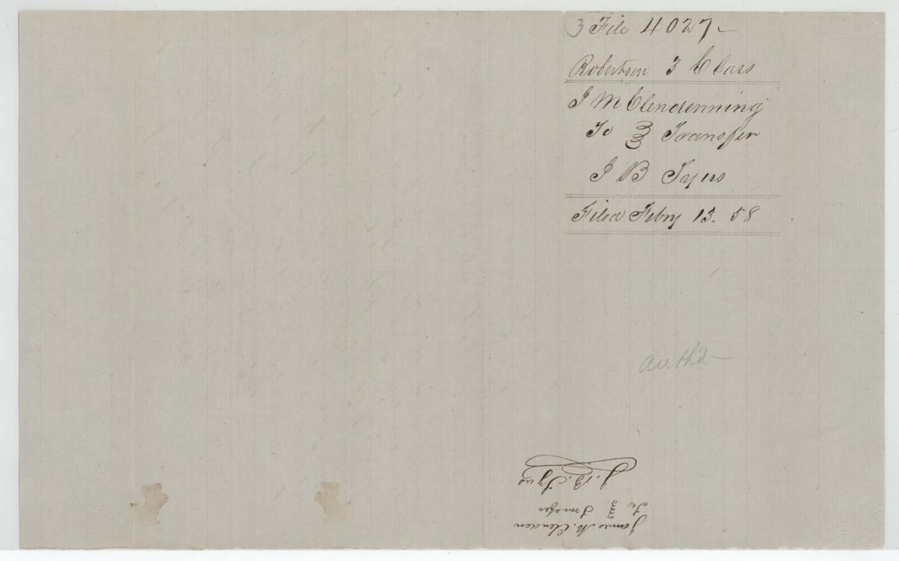
 WrapperWrapper for the transfer of James M. Clendening's certificate to J. B. Tyus, filed 13 February 1858.General Land Office, file 4027, page 7 · in the scan
Scans courtesy of the Texas General Land Office, Austin, from its Land Grant Database.
Neighbouring surveys
Sources
- Texas General Land Office, Land Grant Database: Navarro County, Abstract 182
- The Land Office file, scanned (PDF, at the General Land Office)
- 1924 map: courtesy of the Texas General Land Office, Austin, Map 73249, used under licence. Topo: U.S. Geological Survey, The National Map. Aerial photographs: U.S. Department of Agriculture, National Agriculture Imagery Program, 2012, 2018 and 2022. Survey outlines: Railroad Commission of Texas, Original Texas Land Survey. Grant records and files: Texas General Land Office.