Blackland TX · ← All the original surveys
E. K. Morrell Survey, Abstract 933
- Granted to
- E. K. Morrell
- Kind of grant
- Headright, third classLand for later settlers, including the colonists of Mercer’s Colony.
- Land Office file
- Robertson 3rd class, file 3498
- Certificate
- No. 0/42
- Acres
- 160
- Patented to
- Heirs of E. K. Morrell
- Patent
- 29 Aug 1859 · No. 28, Vol. 27
Tap a survey to open its page.
What the file shows
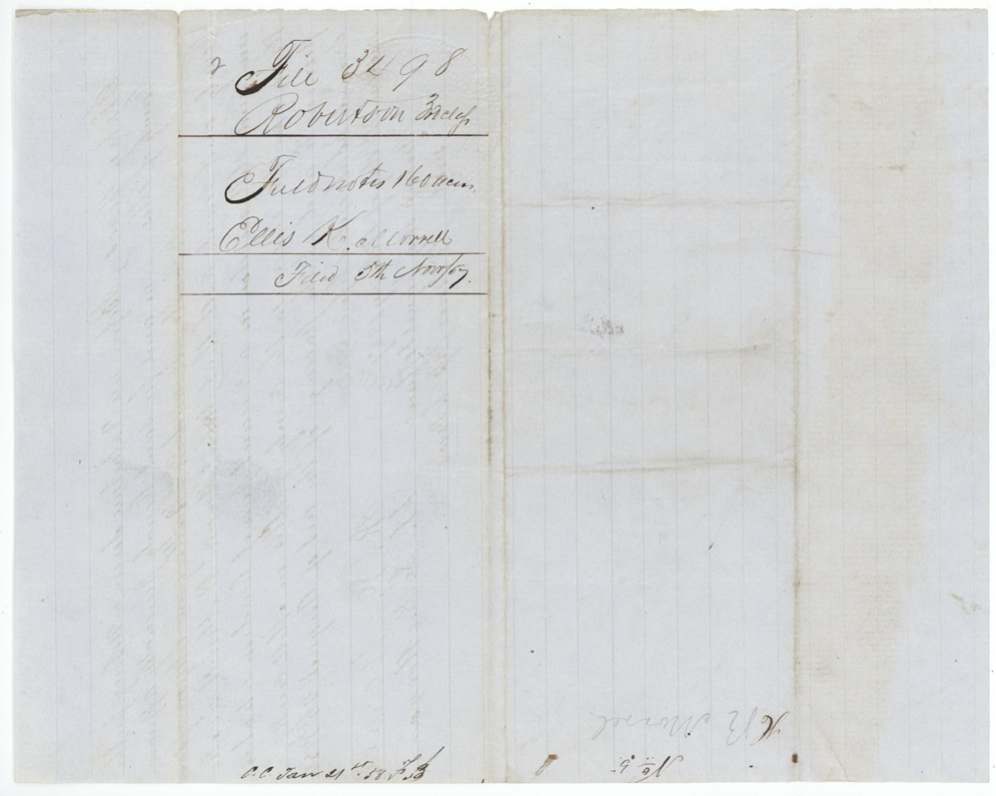
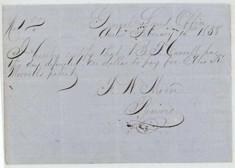
This 160-acre tract on the Ellis-Navarro line was first surveyed in March 1857 for Hiram R. Morrell, who swore he had been living on vacant land in 'the reserve' on Mill Creek before the act of August 26, 1856. In April 1857 the Navarro County District Court ruled that the heirs of Ellis K. Morrell, a Mercer's Colony settler before October 1848, were entitled to 320 acres (certificate No. 42), and on August 1, 1857 district surveyor Thomas J. Oliver substituted that certificate into Hiram's survey. B. F. Carroll paid the patent fee in 1858, and the patent issued to the heirs of Ellis K. Morrell on August 29, 1859; about 113 acres lie in Ellis County and 47 in Navarro.
The certificate
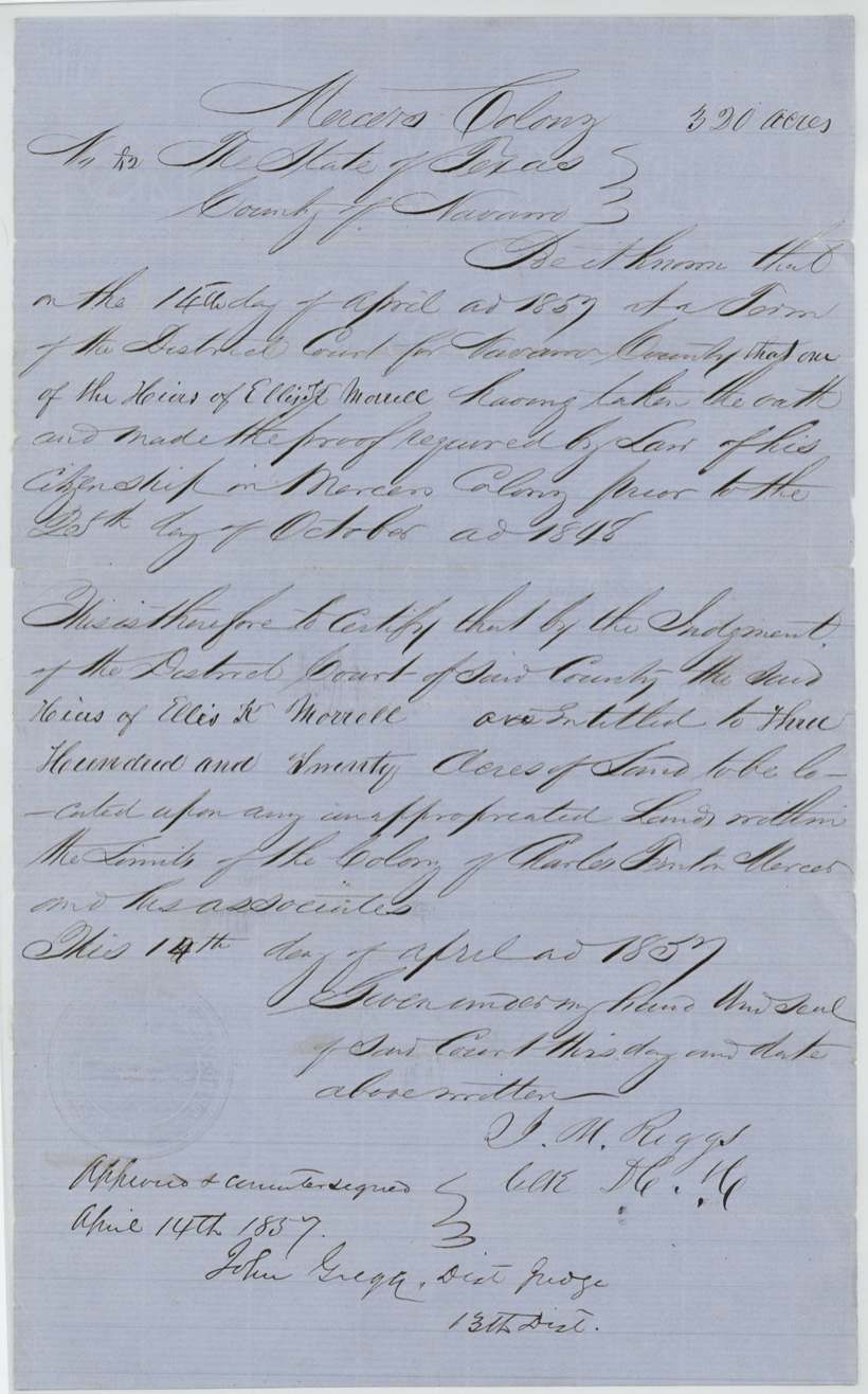
other (Mercer's Colony certificate by District Court judgment; GLO Robertson 3rd class), No. 42, 320 (160 used here; balance in file Rob. 3-4443), District Court of Navarro County — J. M. Riggs(?), Clerk; approved and countersigned by John Gregg, District Judge, 13th District, Navarro County, 14 Apr 1857.
One of the heirs of Ellis K. Morrell took the oath and made proof of [Morrell's] citizenship in Mercer's Colony prior to 25 October 1848; by judgment of the District Court the heirs are entitled to 320 acres on unappropriated land within the limits of the colony of Charles Fenton Mercer and associates
The survey
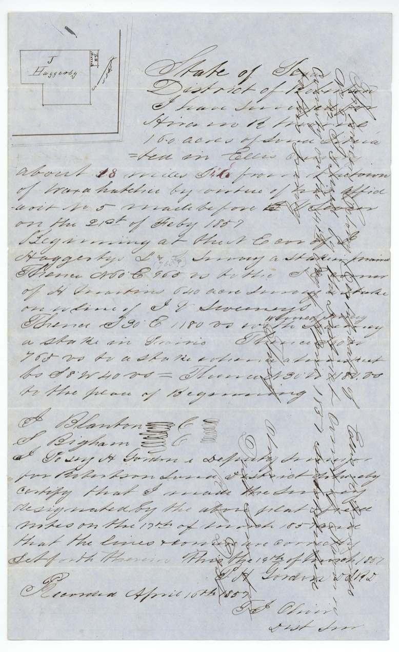
1857-03-17 (certified 1857-03-19), Posey H.(?) Gordon, Deputy Surveyor, Robertson Land District.
Ellis County, about 18 1/2 miles S. 4(?) E. from the town of Waxahachie, prairie; the affidavit places Hiram's home on Mill Creek in 'the reserve'
Chain carriers: J. Blanton(?), S. Bigham.
Book Y(?) page 18 (district surveyor's records)
The patent
29 Aug 1859, No. 28, Vol. 27, to the heirs of Ellis K. Morrell, delivered to A. M. Dunn(?), Sept 21, 1859.
Also in the file
- This land was first surveyed for Hiram R. Morrell under the 1856 law protecting settlers living on vacant land in 'the reserve' — but five months later the Robertson District surveyor substituted a different right: a Mercer's Colony certificate won in court by the heirs of Ellis K. Morrell. The patent went to Ellis's heirs, not to Hiram.
- The survey straddles a county line: a later note says 113 acres lie in Ellis County and 47 in Navarro, so it carries two abstract numbers (Ellis 721, Navarro 933).
- The Land Office noted that the field notes 'do not close' by 200 varas — the boundary as written doesn't come back to the starting point.
- The certificate first names the colonist 'Elliott(?) Morrell' before calling him Ellis K. Morrell.
Timeline
- 25 Oct 1848Cut-off date: Ellis K. Morrell's citizenship in Mercer's Colony proved as before this date
- 26 Aug 1856Act under which settlers on vacant land in 'the reserve' could claim; Hiram R. Morrell already living on Mill Creek
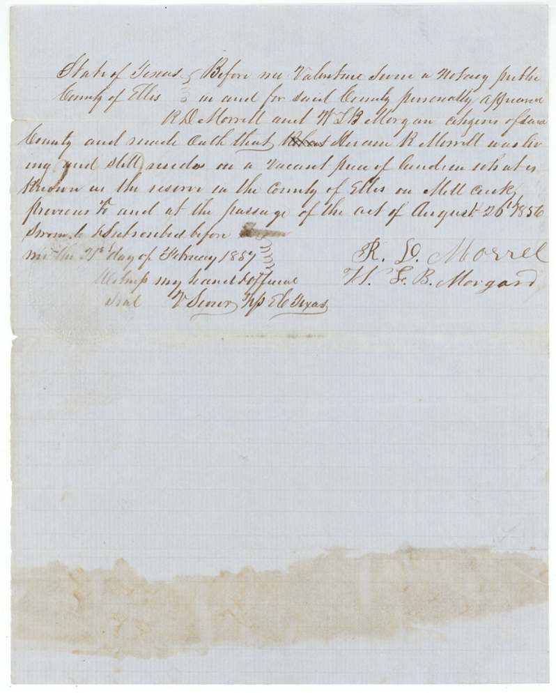
- 21 Feb 1857R. D. Morrell and W. L. B. Morgan swear to Hiram R. Morrell's residence before notary Valentine Sevier, Ellis County
- 17 Mar 1857Posey H. Gordon surveys 160 acres for Hiram R. Morrell ~18 1/2 miles south of Waxahachie
- 14 Apr 1857Navarro District Court judgment: heirs of Ellis K. Morrell entitled to 320 acres (Mercer's Colony cert. No. 42); approved by Judge John Gregg
- 16 Apr 1857District surveyor Thos. J. Oliver records the Hiram Morrell survey
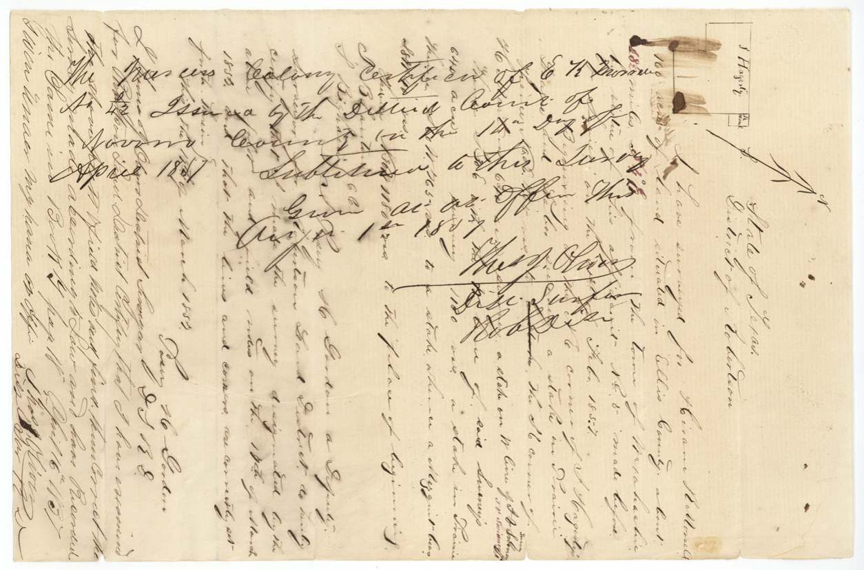
- 1 Aug 1857Oliver substitutes the Ellis K. Morrell certificate No. 42 into the survey
- 5 Nov 1857Certificate filed in the GLO
- 15 Feb 1858B. F. Carroll deposits $1 at the GLO for the patent fee
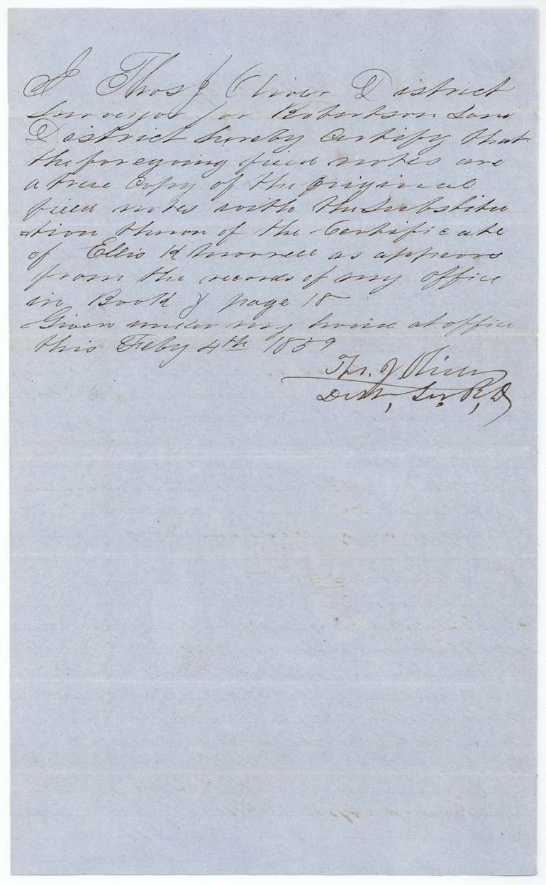
- 4 Feb 1859Oliver certifies a copy of the field notes with the substitution
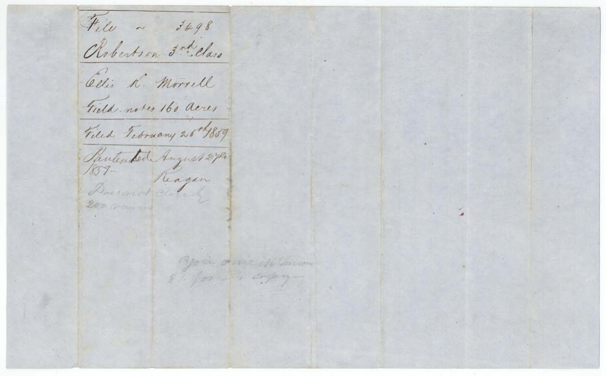
- 26 Feb 1859Field notes filed in GLO
- 29 Aug 1859Patent No. 28, Vol. 27, to the heirs of Ellis K. Morrell
- 21 Sep 1859Patent delivered to A. M. Dunn(?)
The papers in the file
Every page of the Land Office file, in the order the Land Office keeps them (11 pages). Tap a page to see it larger.
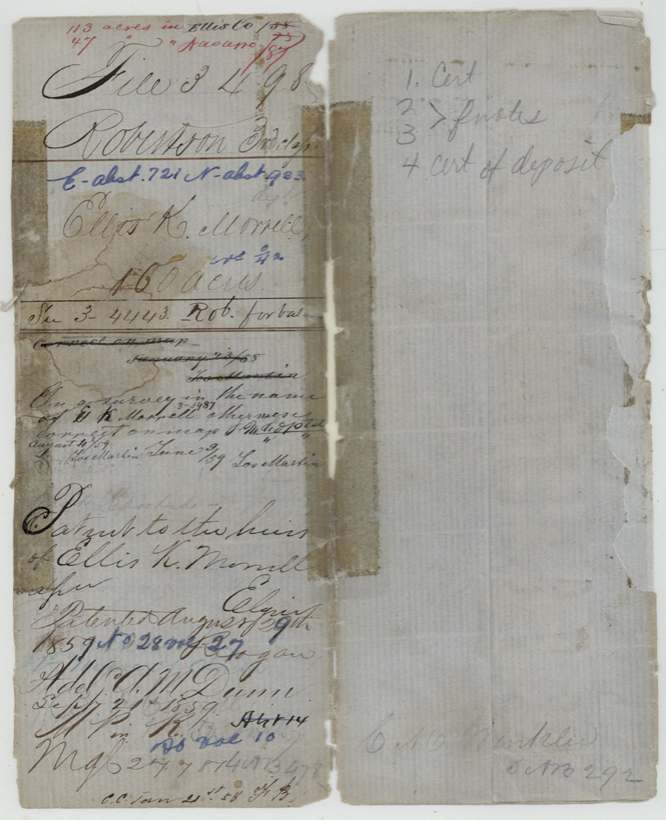
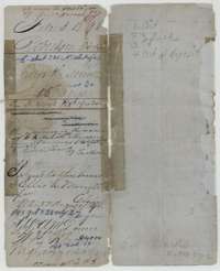 File jacketFile jacket for the 160-acre Morrell claim under Mercer's Colony certificate No. 42, listing the certificate, field notes and receipt; patented 29 August 1859.General Land Office, file 3498, page 1 · in the scan
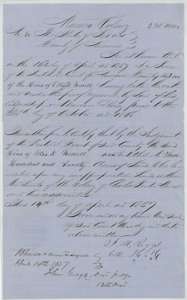 CertificateNavarro County District Court certificate of 14 April 1857 that the heirs of Ellis K. Morrell are entitled to 320 acres as Mercer's Colony settlers.General Land Office, file 3498, page 2 · in the scan
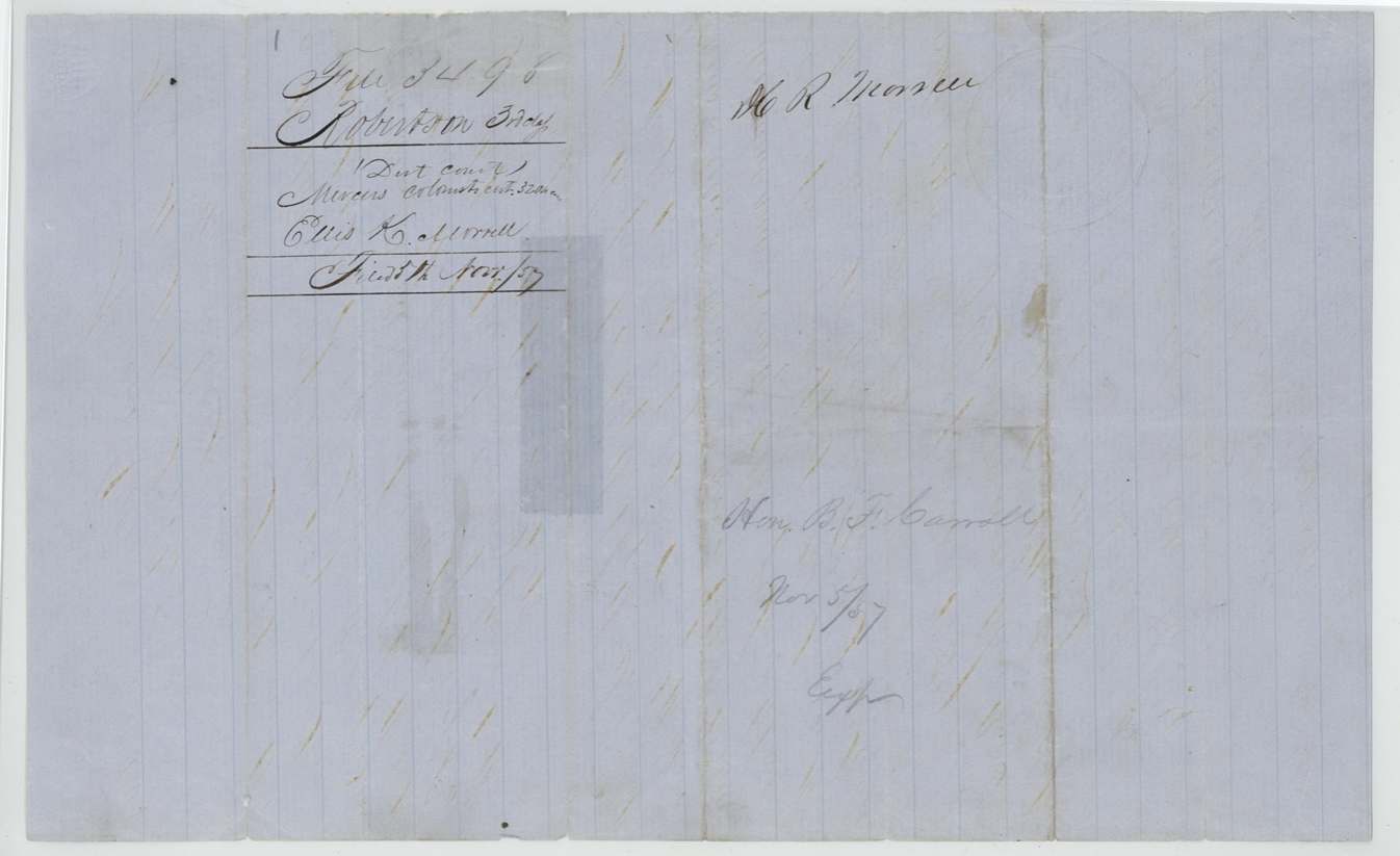
 WrapperWrapper for the Mercer's Colony certificate of Ellis K. Morrell, 320 acres, filed in the General Land Office 5 November 1857.General Land Office, file 3498, page 3 · in the scan
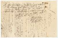 CorrectionNote of 1 August 1857 by District Surveyor Thomas J. Oliver substituting Ellis K. Morrell's Mercer's Colony certificate No. 42 for the survey.General Land Office, file 3498, page 4 · in the scan
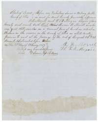 AffidavitAffidavit of 21 February 1857, sworn in Ellis County, that Hiram R. Morrell lived on vacant land on Mill Creek in the reserve.General Land Office, file 3498, page 5 · in the scan
 WrapperWrapper for the Ellis County affidavit about Hiram R. Morrell's residence, filed 5 November 1857.General Land Office, file 3498, page 6 · in the scan
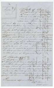 Field notesField notes for 160 acres in Ellis County, south of Waxahachie, surveyed for Hiram R. Morrell by deputy surveyor Gordon on 17 March 1857.General Land Office, file 3498, page 7 · in the scan
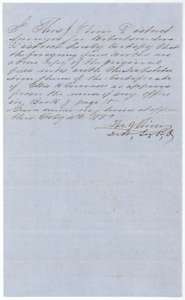 Surveyor's certificateDistrict Surveyor Thomas J. Oliver's certificate of 4 February 1859 that the field notes are a true copy, with the Morrell certificate substituted.General Land Office, file 3498, page 8 · in the scan
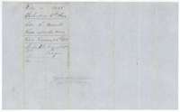 WrapperWrapper for the field notes of Ellis K. Morrell, 160 acres, filed 26 February 1859 and marked patented in August 1859.General Land Office, file 3498, page 9 · in the scan
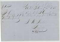 ReceiptGeneral Land Office receipt of 15 February 1858 for one dollar deposited to pay for Ellis K. Morrell's patent.General Land Office, file 3498, page 10 · in the scan
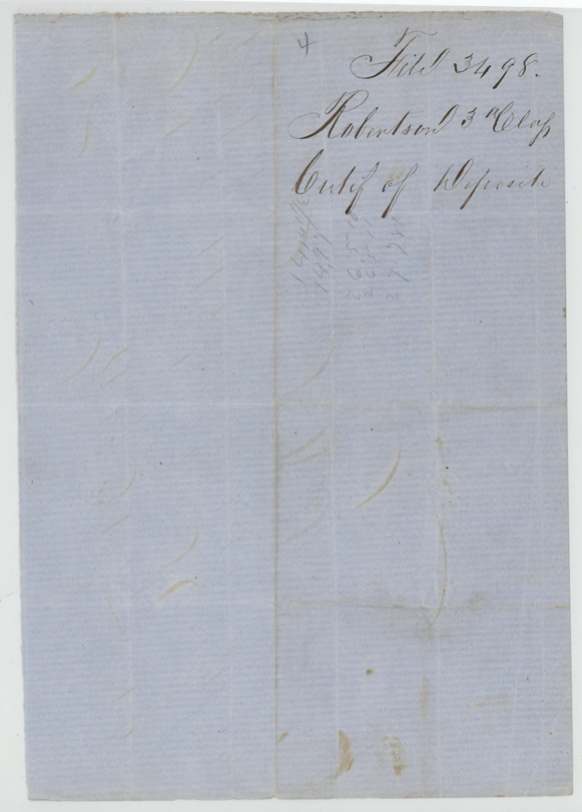
 WrapperWrapper endorsed as the certificate of deposit for Ellis K. Morrell's patent.General Land Office, file 3498, page 11 · in the scan
Scans courtesy of the Texas General Land Office, Austin, from its Land Grant Database.
Neighbouring surveys
Sources
- Texas General Land Office, Land Grant Database: Navarro County, Abstract 933
- The Land Office file, scanned (PDF, at the General Land Office)
- 1924 map: courtesy of the Texas General Land Office, Austin, Map 73249, used under licence. Topo: U.S. Geological Survey, The National Map. Aerial photographs: U.S. Department of Agriculture, National Agriculture Imagery Program, 2012, 2018 and 2022. Survey outlines: Railroad Commission of Texas, Original Texas Land Survey. Grant records and files: Texas General Land Office.