Blackland TX · ← All the original surveys
Mary Smith Survey, Abstract 724
- Granted to
- Mary Smith
- Kind of grant
- Headright, first classLand for settlers who were in Texas before independence, 2 March 1836.
- Land Office file
- Robertson 1st class, file 802
- Certificate
- No. 169
- Acres
- 2045
- Patented to
- R. K. Hartley
- Patent
- 12 May 1858 · No. 259, Vol. 13
Tap a survey to open its page.
What the file shows
Mary Smith, a head of family who came to Texas in 1831, received a first-class headright for a league and labor from the Liberty County land board in February 1838. Part of it was located under Liberty file 2; in May 1853, then a widow, she joined Ann Maria and William Stines in selling the certificate to Rufus K. Hartley of Galveston for $690.75. The unlocated balance, 11,547,000 square varas, was surveyed in 1854 on Richland Creek about 21 miles southwest of Corsicana, then resurveyed in 1857 after the first survey was cancelled and a conflict with an older forfeited William H. Ireland survey was cleared. Patent No. 259, Vol. 13 issued to Hartley as assignee on 12 May 1858 and was delivered to P. De Cordova for him.
The certificate
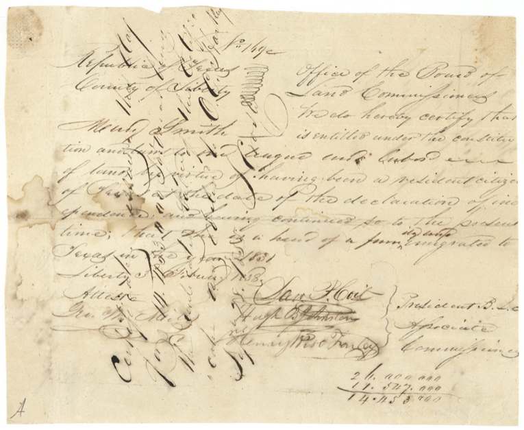
headright 1st class, No. 169, one league and labor (this survey uses the unlocated balance, 11,547,000 sq. varas), Board of Land Commissioners, Liberty County — Sam P. Cole(?), President; Hugh B. Johnston and Henry Rose(?) Farley(?), Associate Commissioners; attested Geo. W. Miller(?), Liberty, Liberty County, Republic of Texas, 3 Feb 1838.
Mary Smith was a resident citizen of Texas at the date of the Declaration of Independence and continued so; she is head of a family and emigrated to Texas in 1831
Changes of hand
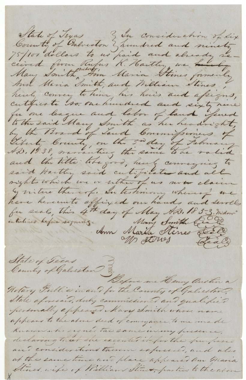
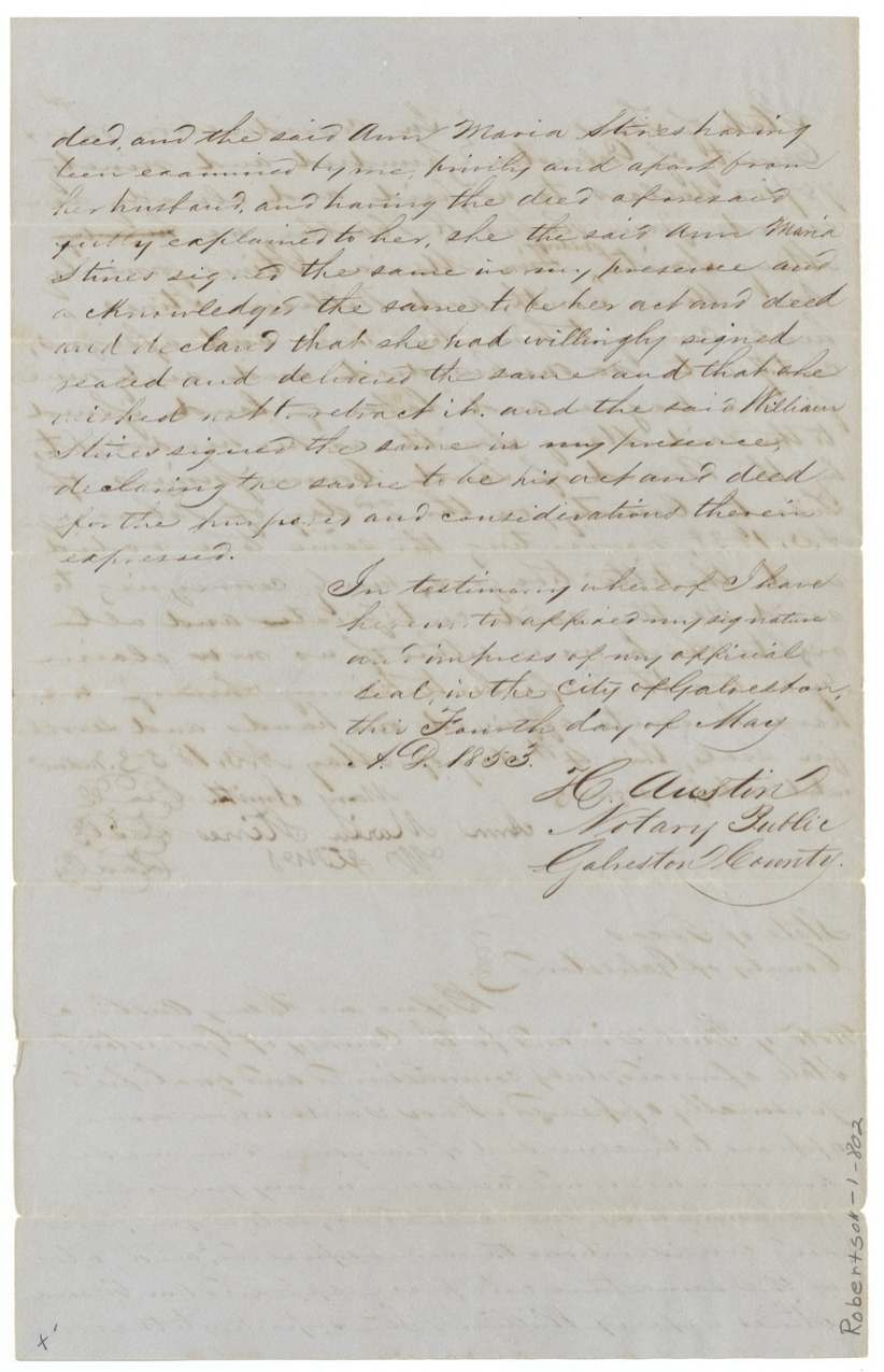
- 4 May 1853Mary Smith (widow), Ann Maria Stines (formerly Ann Maria Smith) and William Stines → Rufus K. Hartley, $690.75, Galveston, Galveston County. Conveys certificate No. 169 and all rights under it, warranting it valid. Ann Maria Stines examined privily apart from her husband. The word 'widow' interlined before signing. Filed in GLO 8 May 1855.
The survey
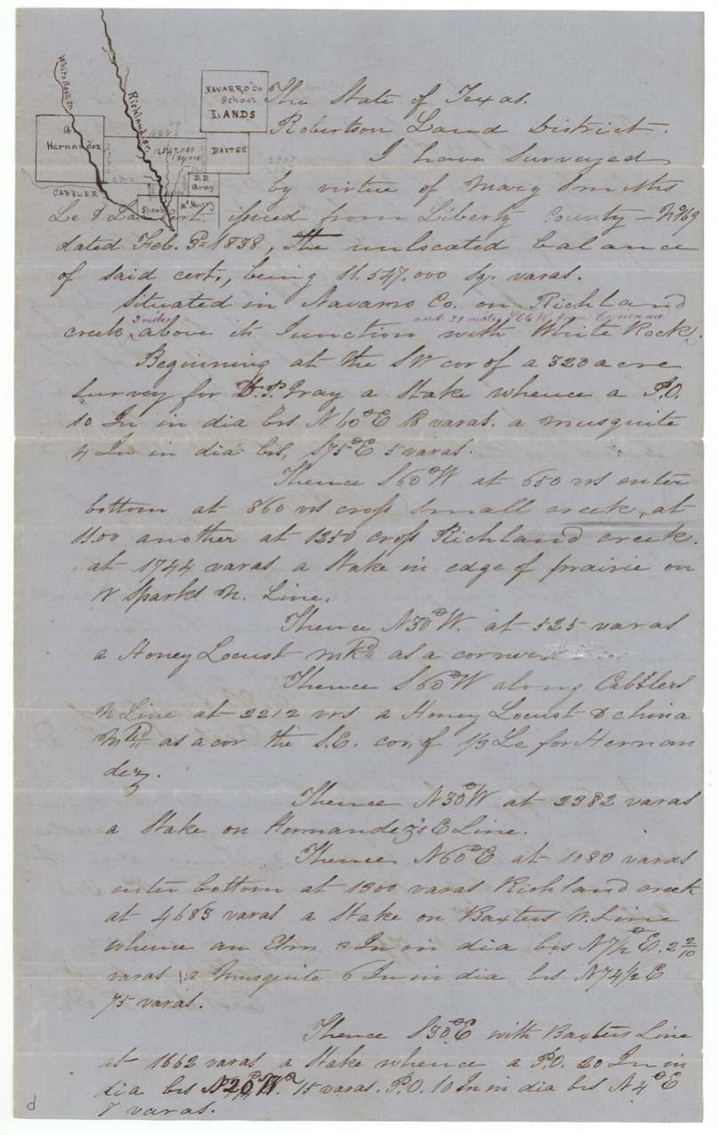
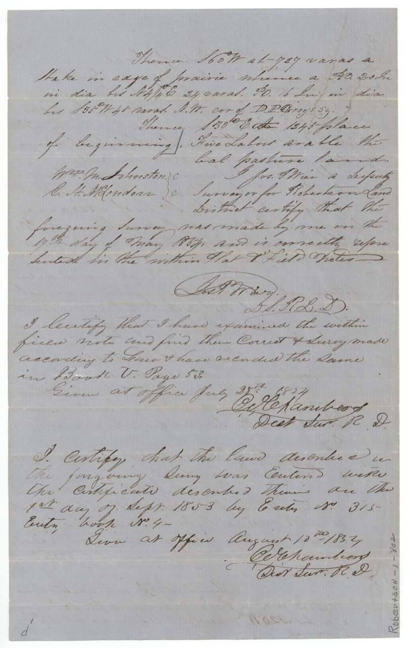
17 May 1854, Jos. P. Weir(?), Deputy Surveyor, Robertson Land District.
Navarro County, on Richland Creek, 3 miles above its junction with White Rock (Creek), about 21 miles S 66 W from Corsicana
Chain carriers: Wm. M. Johnston, C. H. McLendon(?).
Book V, page 53
The survey
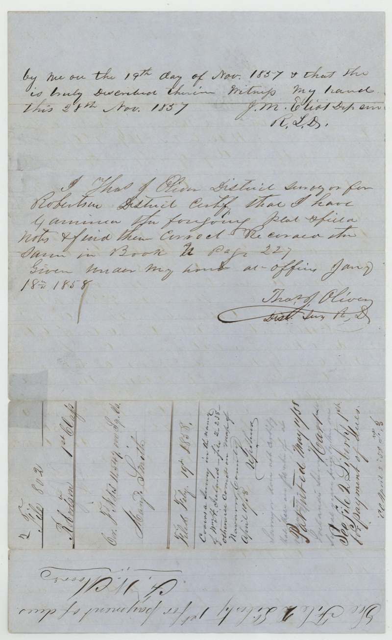
1857-11-19 (certified Nov 28, 1857), J. M. Eliot, Deputy Surveyor, Robertson Land District.
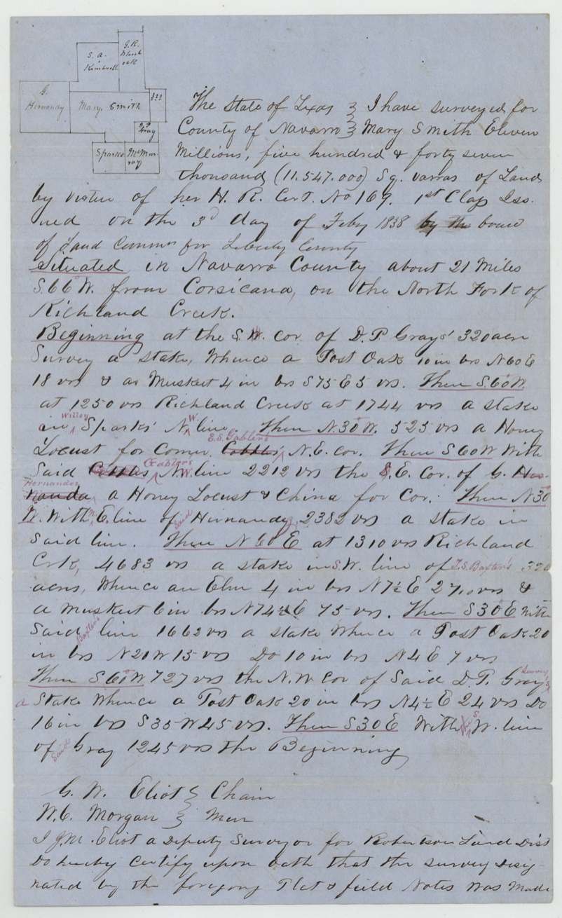
Navarro County, about 21 miles S 66 W from Corsicana, on the North Fork of Richland Creek
Chain carriers: G. W. Eliot, W. C. Morgan.
Book N, page 227
The patent
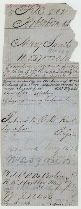
1858-05-12 (docket on field notes reads 'May 11/58'), No. 259, Vol. 13, to R. K. Hartley, assignee, delivered to P. De Cordova for R. K. Hartley, May 17, 1858.
Also in the file
- The tract overlapped an older survey in the name of William H. Ireland; the Land Office cleared it for patent only after noting that Ireland's survey had been forfeited.
- The 1854 survey was cancelled and the same land resurveyed in 1857 with identical calls and distances — apparently to cure a defect rather than to move the land.
- Mary Smith was certified as a head of family in 1838 but was a widow by 1853, when she joined Ann Maria Stines (formerly Ann Maria Smith; relationship not stated) and William Stines in selling the unused balance of the certificate.
- Only the unlocated balance (11.5 million of 26 million square varas) of her league and labor ended up in Navarro County; the rest was located elsewhere under Liberty file 2.
- The tract straddles the Navarro–Hill county line: about two-thirds Navarro, one-third Hill.
Timeline
- 1831Mary Smith, head of a family, emigrates to Texas
- 3 Feb 1838Liberty County Board of Land Commissioners issues headright certificate No. 169 for a league and labor
- 4 May 1853Mary Smith (widow) and Ann Maria and William Stines sell the certificate to Rufus K. Hartley at Galveston for $690.75
- 1 Sep 1853Land entered in Robertson District, Entry No. 315
- 17 May 1854First survey on Richland Creek by Jos. P. Weir(?)
- 28 Jul 1854Survey recorded Book V p. 53
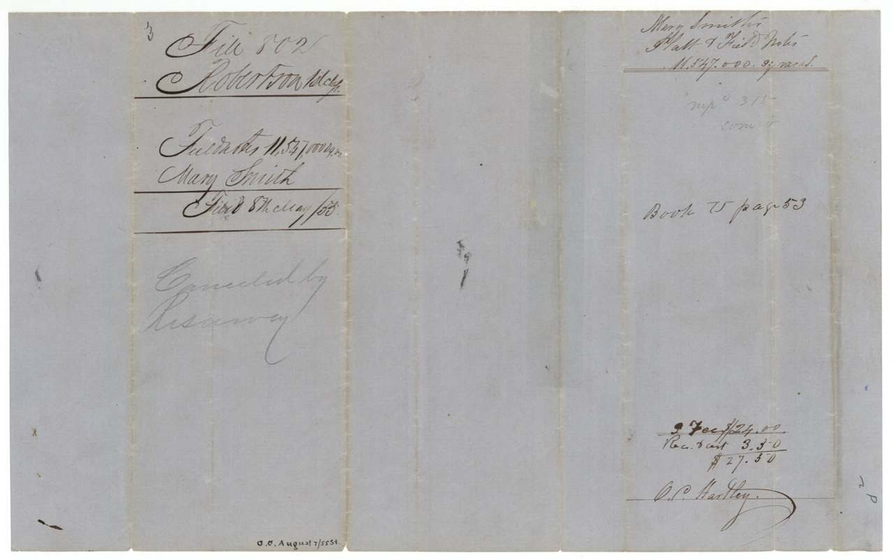
- 8 May 1855Field notes and transfer filed in the GLO
- 7 Aug 1855Pressler map check finds conflict with Wm. H. Ireland survey
- 19 Nov 1857Resurvey by J. M. Eliot
- 18 Jan 1858Resurvey recorded Book N p. 227
- 19 Feb 1858Resurvey filed in the GLO
- 12 May 1858Patent No. 259 Vol. 13 issued to R. K. Hartley
- 17 May 1858Patent delivered to P. De Cordova for Hartley
The papers in the file
Every page of the Land Office file, in the order the Land Office keeps them (14 pages). Tap a page to see it larger.
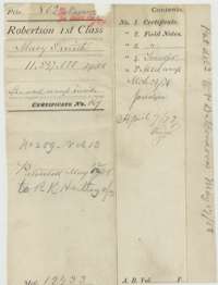 File jacketFile jacket for the headright of Mary Smith, a league-and-labor certificate patented 12 May 1858, listing the certificate, field notes and transfer.General Land Office, file 802, page 1 · in the scan
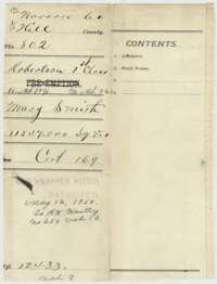 WrapperOlder wrapper for the Mary Smith papers, marked patented 12 May 1858 to R. K. Hartley.General Land Office, file 802, page 2 · in the scan
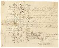 CertificateHeadright certificate No. 169 issued 3 February 1838 by the Board of Land Commissioners of Liberty County to Mary Smith for a league and labor of land.General Land Office, file 802, page 3 · in the scan
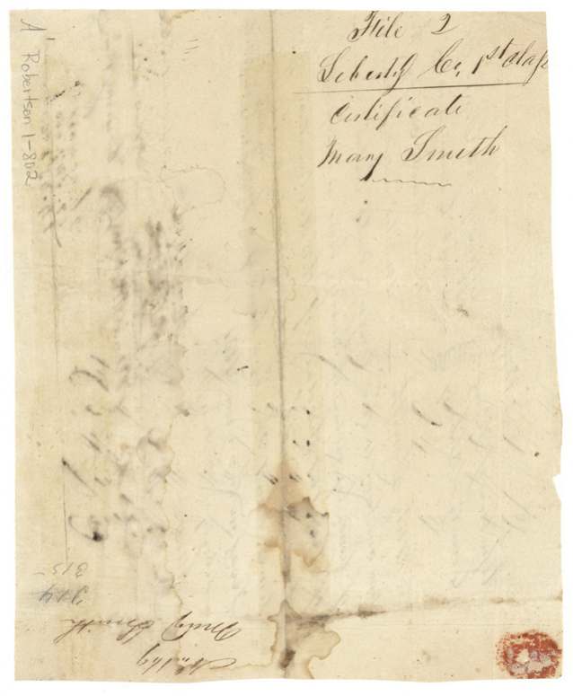
 Back of the certificateBack of the certificate, with endorsements and a docket for Mary Smith, Liberty County, first class.General Land Office, file 802, page 4 · in the scan
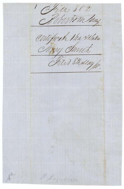
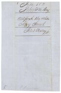 WrapperFiling wrapper for the Mary Smith certificate in the Robertson land district.General Land Office, file 802, page 5 · in the scan
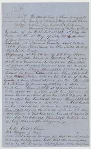 Field notesField notes for 11,547,000 square varas on Richland Creek in Navarro County, surveyed for Mary Smith by deputy surveyor J. M. Eliot, 19 November 1857.General Land Office, file 802, page 6 · in the scan
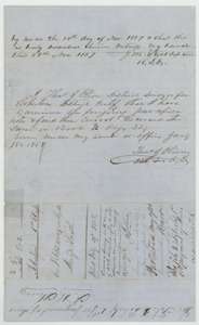 Field notesEnd of the 1857 field notes, with Eliot's certificate and the district surveyor's examination of 18 January 1858.General Land Office, file 802, page 7 · in the scan
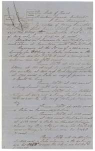 Field notesField notes for 11,547,000 square varas on Richland Creek, Navarro County, surveyed for Mary Smith in May 1854, with a map of neighbouring surveys.General Land Office, file 802, page 8 · in the scan
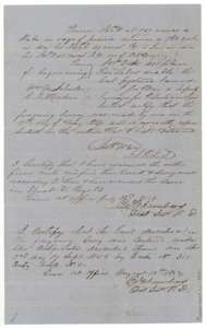 Field notesEnd of the 1854 field notes, with the deputy surveyor's certificate and the district surveyor's examination of July 1854.General Land Office, file 802, page 9 · in the scan
 WrapperFiling wrapper for the 1854 field notes, filed 8 May 1855 and marked cancelled by resurvey.General Land Office, file 802, page 10 · in the scan
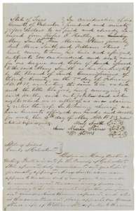 TransferDeed of 4 May 1853 at Galveston in which Mary Smith, Ann Maria Stines and William Stines sell certificate No. 169 to Rufus K. Hartley for $690.75.General Land Office, file 802, page 11 · in the scan
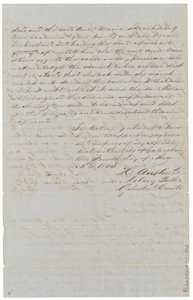 TransferSecond page of the deed, with the notary's certificate of acknowledgment at Galveston.General Land Office, file 802, page 12 · in the scan
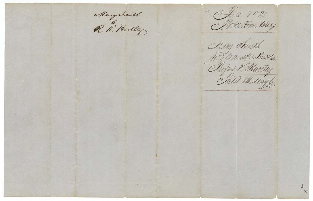
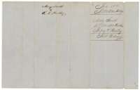 WrapperFiling wrapper for the deed from Mary Smith to R. K. Hartley, filed 8 May 1855.General Land Office, file 802, page 13 · in the scan
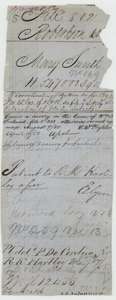 PatentLand Office docket slip recording the patent of 12 May 1858 to R. K. Hartley, assignee, and its delivery on 17 May 1858.General Land Office, file 802, page 14 · in the scan
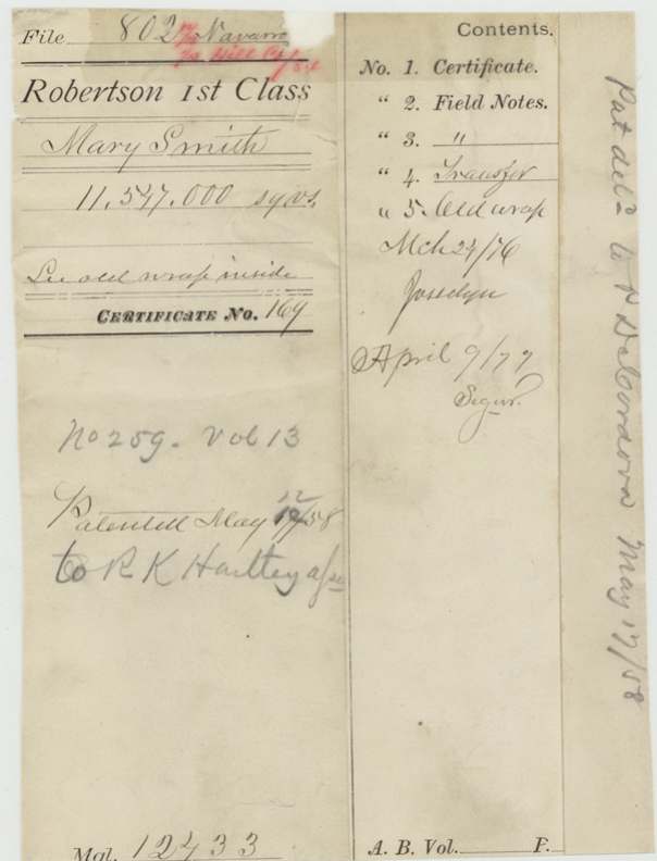
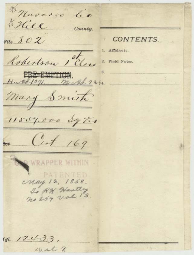
Scans courtesy of the Texas General Land Office, Austin, from its Land Grant Database.
On this ground today
- Historical markersAsh Creek (Pelham) School, Pelham Community, Wesley Chapel Methodist Church
Places that stand inside this survey’s lines as the state’s survey map draws them.
Neighbouring surveys
Sources
- Texas General Land Office, Land Grant Database: Navarro County, Abstract 724
- The Land Office file, scanned (PDF, at the General Land Office)
- 1924 map: courtesy of the Texas General Land Office, Austin, Map 73249, used under licence. Topo: U.S. Geological Survey, The National Map. Aerial photographs: U.S. Department of Agriculture, National Agriculture Imagery Program, 2012, 2018 and 2022. Survey outlines: Railroad Commission of Texas, Original Texas Land Survey. Grant records and files: Texas General Land Office.