Blackland TX · ← All the original surveys
David Seely Survey, Abstract 739
- Granted to
- David Seely
- Kind of grant
- Headright, third classLand for later settlers, including the colonists of Mercer’s Colony.
- Land Office file
- Robertson 3rd class, file 67
- Acres
- 640
- Patented to
- Heirs of David Seely
- Patent
- 09 Nov 1852 · No. 752, Vol. 8
Tap a survey to open its page.
What the file shows
David Seely, a married man who came to Texas before 1842, received a conditional 640-acre headright (No. 163) from the Robertson County Board at Franklin in August 1842, made unconditional on 1 January 1844. The certificate was first entered on the Trinity River in 1843, then surveyed by C. C. Taylor on Richland Creek in May 1844; that survey turned out to hold 696 acres and was replaced by Wm. L. Browning's resurvey of 6 November 1851 at the head of Richland Creek, about 19 miles southwest of Corsicana. Agent Henry J. Jewett handled the claim from 1846, and certificates were filed to show the survey pre-dated the Mercer Colony contract. Seely died before patent; his administratrix swore to the certificate in 1850, and the patent (No. 752, Vol. 8) issued to his heirs in November 1852.
The certificate
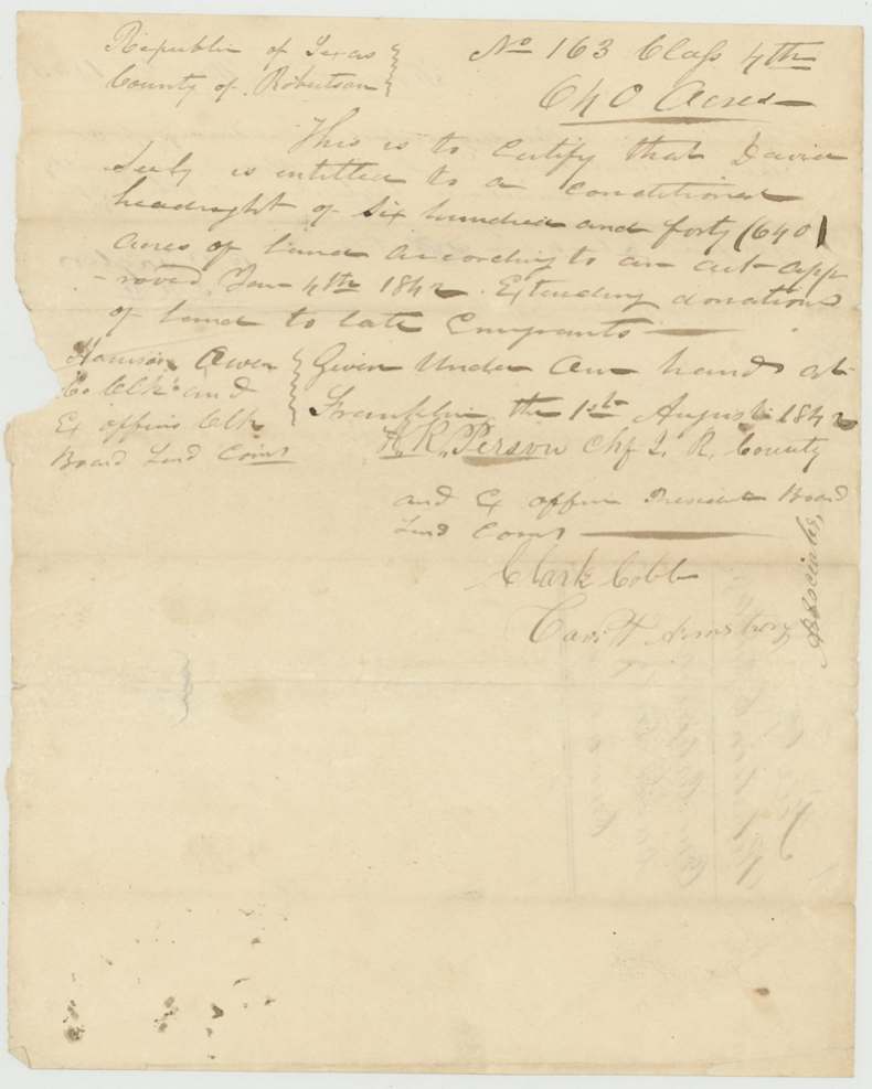
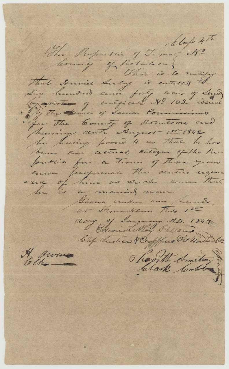
headright 3rd class (filed as Robertson 3rd; the certificates themselves are headed 'Class 4th'), No. 163, 640 acres, Board of Land Commissioners, Robertson County — conditional cert. signed H. R. Person(?), Chief Justice & ex officio President, with associates Clark Cobb and Cavitt Armstrong, Hanson(?) Owen clerk; unconditional cert. signed Edwin LeRoy Patton(?), Chief Justice & ex officio President, with Cavitt Armstrong and Clark Cobb, H. Owen clerk, Franklin, Robertson County, Conditional 1842-08-01; unconditional 1844-01-01.
Conditional headright of 640 acres under the act of 4 Jan 1842 'extending donations of land to late emigrants'; unconditional certificate states he proved three years' residence as a citizen, performed the duties required, and is a married man
The survey
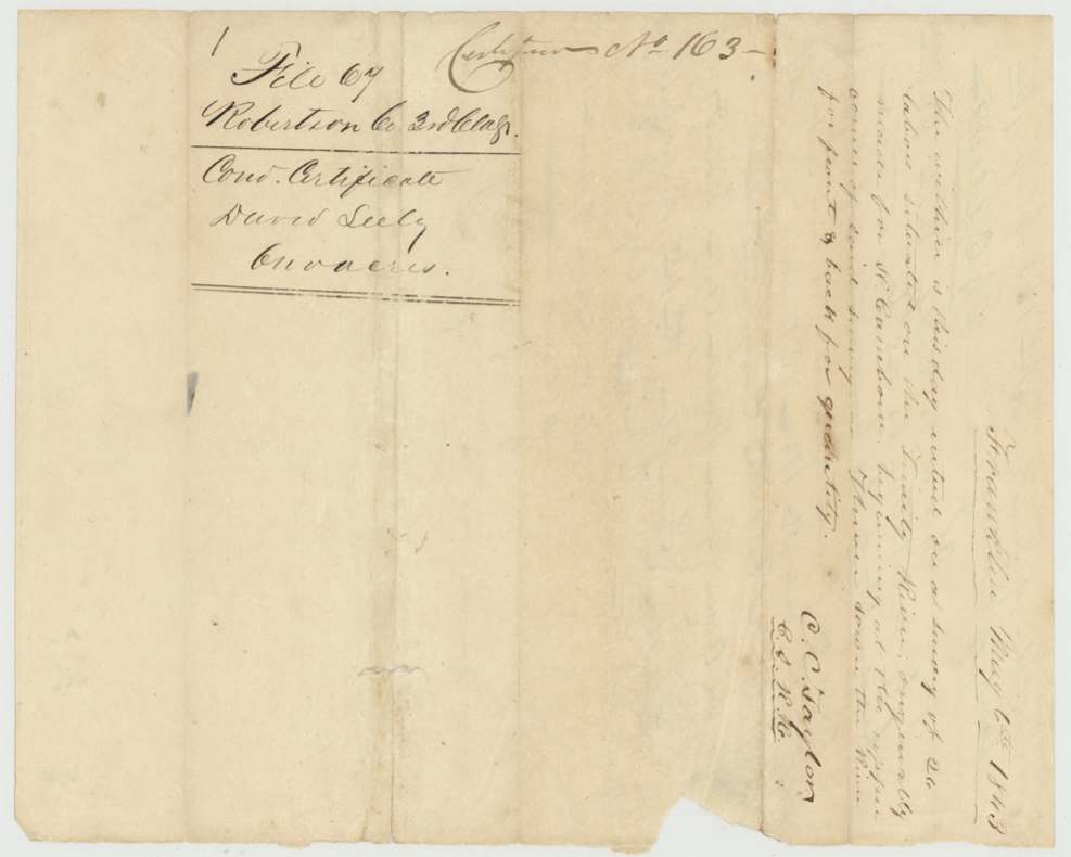
6 May 1843, C. C. Taylor, County Land Surveyor, Robertson County.
Trinity River, beginning at the upper corner of the Cambron(?) survey, thence down the river for front and back for quantity
The survey
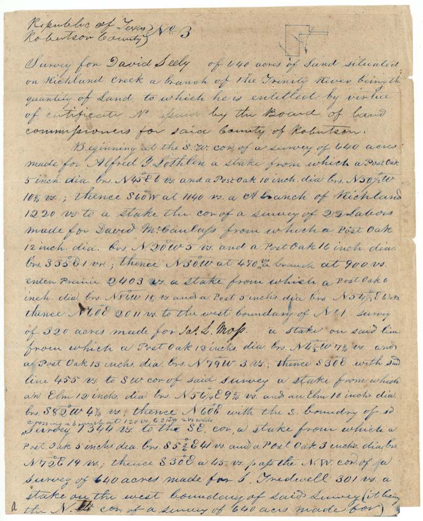
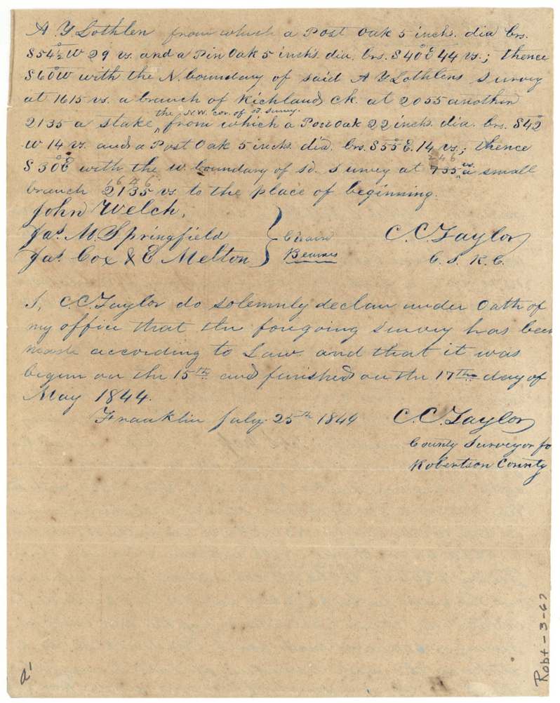
1844-05-15 to 1844-05-17 (oath dated Franklin, 1844-07-25), C. C. Taylor, County Surveyor for Robertson County.
Richland Creek, Robertson County (later Navarro)
Chain carriers: John Welch, Jas. M. Springfield.
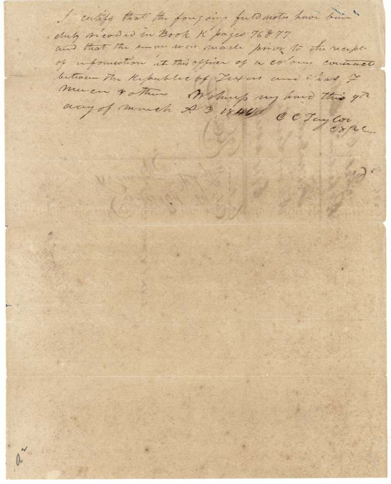
Book K, pages 76 & 77 (certified by C. C. Taylor, 9 March 1846(?))
The survey
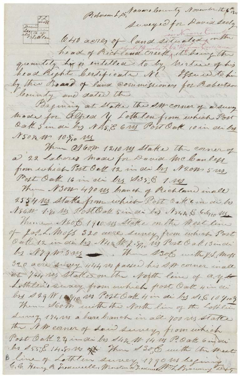
6 Nov 1851, Wm. L. Browning, Deputy Surveyor, Robertson Land District.
Navarro County, head of Richland Creek; red-ink addition: 'about 19 miles S 62 W from Corsicana'
Chain carriers: Henry R. Tredwell, Winston W.(?) Tredwell.
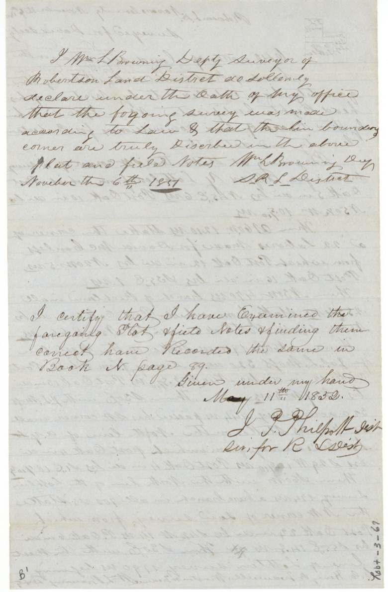
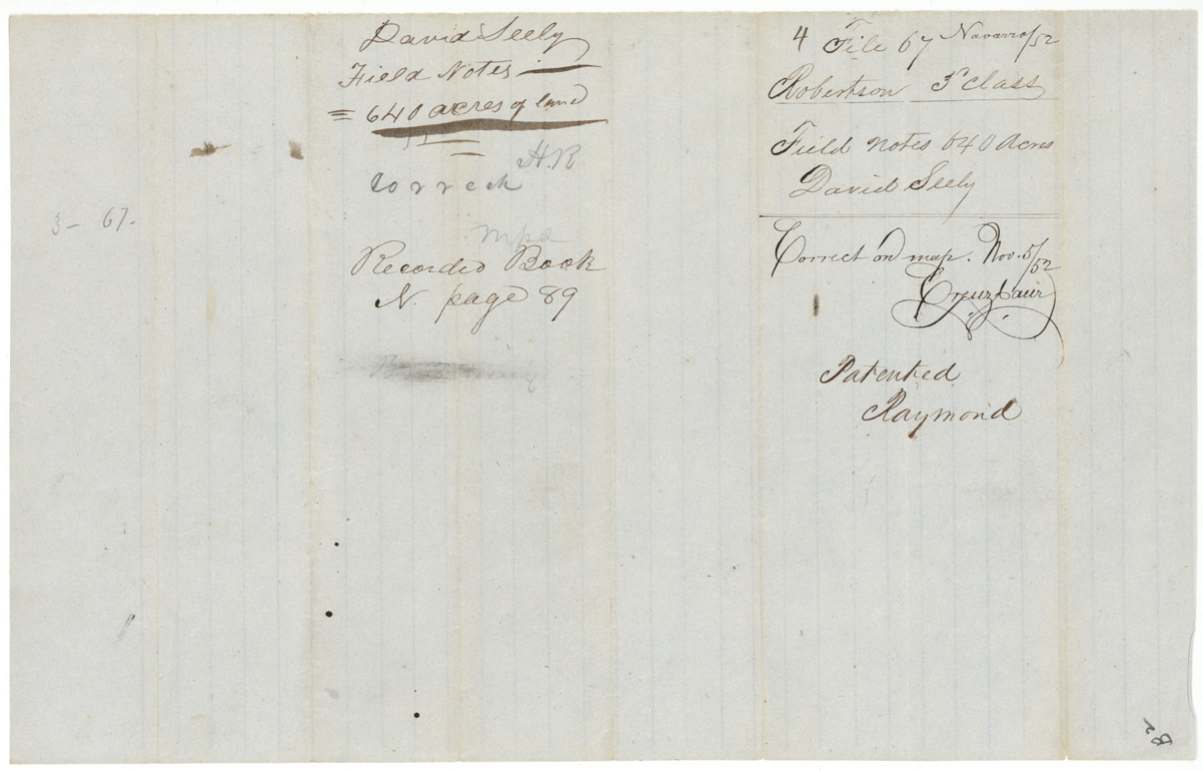
Book N, page 89
The patent
November 1852 (outer wrapper 'Nov 9(?)/52'), No. 752, Vol. 8, to the heirs of David Seely, deceased, delivered to H. L.(?) Barziza(?), Dec 7, 1852.
Also in the file
- The certificate was first entered (1843) on land on the Trinity River, then surveyed (1844) on Richland Creek, then the Richland Creek survey was cancelled and re-run in 1851 because the 1844 lines actually held 696 acres, not 640.
- The file worked hard to prove the survey came before the Mercer Colony contract was known locally — the Mercer colony claim threatened land titles in this area.
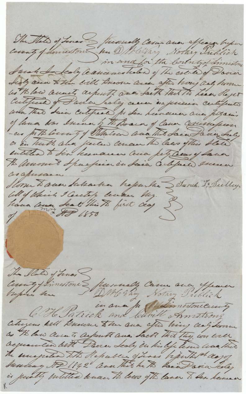
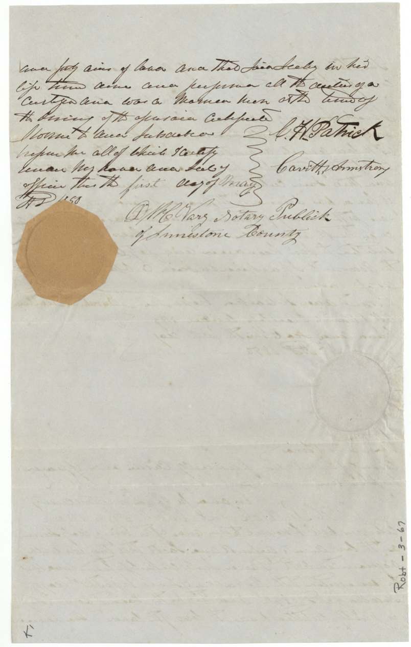
- David Seely died before patent; his widow (administratrix Sarah L.(?) Seely) had to swear in 1850 that the certificate was genuine, and the patent issued to his heirs in 1852.
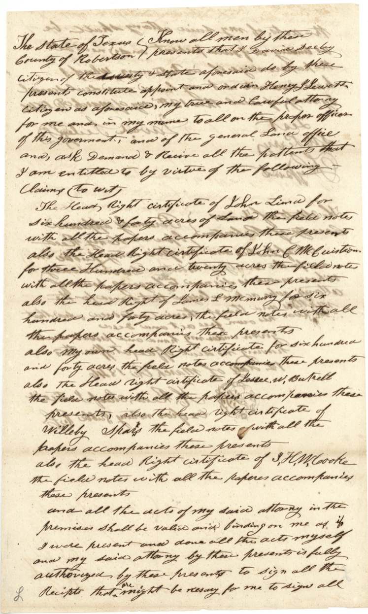
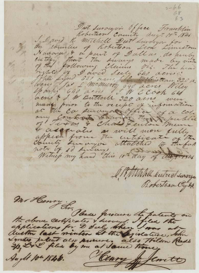
- One man (Henry J. Jewett) was gathering patents for seven neighbours' headrights at once in 1846 — a sign of a local agent working claims in bulk.
- The certificates are marked 'Class 4th' though the GLO filed this as Robertson 3rd class.
Timeline
- before 1842-01-01David Seely emigrates to Texas (per 1850 affidavit)
- 1 Aug 1842Conditional 640-acre certificate No. 163, Robertson County Board, Franklin
- 6 May 1843C. C. Taylor enters certificate on 26 labors on the Trinity River (Cambron survey)
- 1 Jan 1844Unconditional certificate issued; Seely a married man with three years' residence
- 15 May 1844C. C. Taylor surveys 640 acres on Richland Creek (finished 17 May)
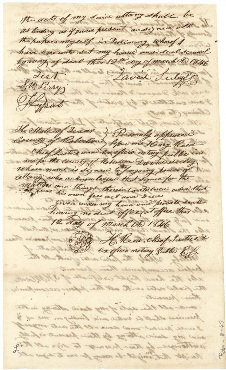
- 12 Mar 1846Seely gives power of attorney to Henry J. Jewett to draw seven patents
- 10 Aug 1846D. R. Mitchell certifies surveys pre-dated knowledge of the Mercer contract
- 1 May 1850Widow/administratrix Sarah L.(?) Seely and witnesses swear affidavits, Limestone County
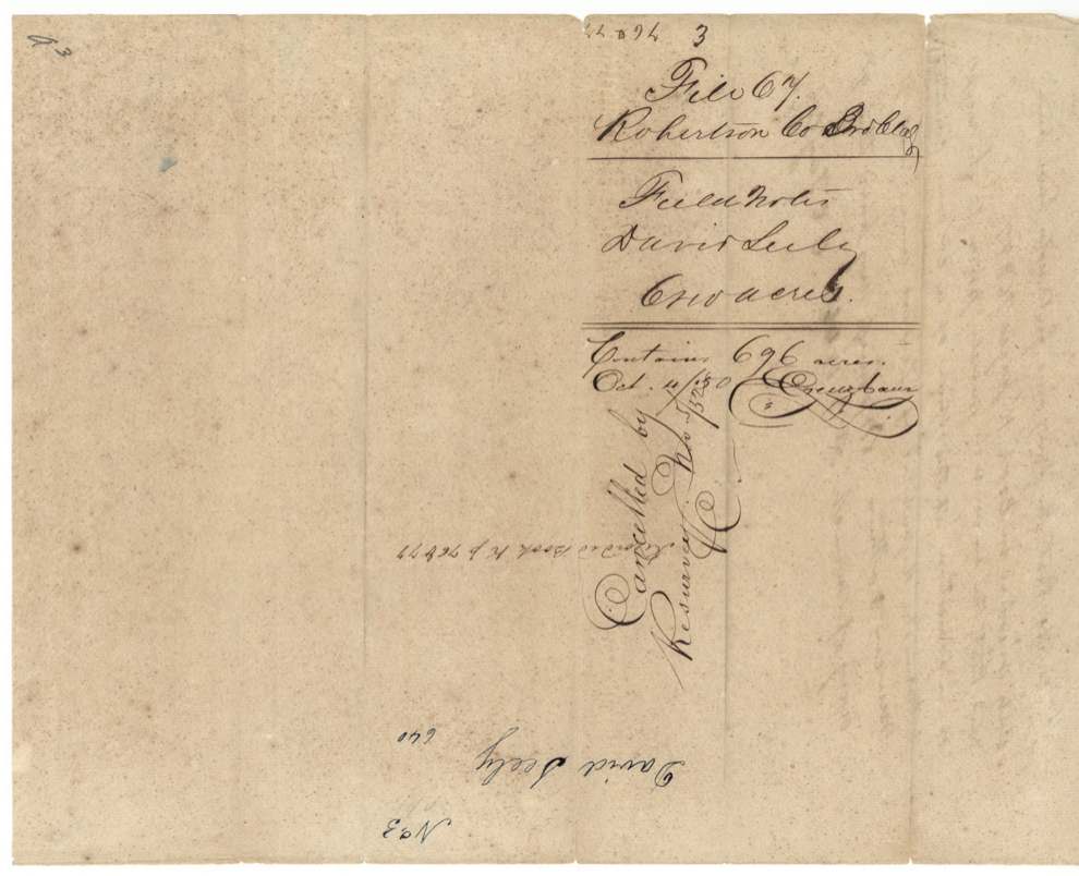
- 4 Oct 1850GLO finds the 1844 survey contains 696 acres
- 6 Nov 1851Wm. L. Browning resurveys 640 acres at head of Richland Creek, Navarro County
- 11 May 1852J. T. Philpott records the field notes, Book N p. 89
- Nov 1852Patent No. 752 Vol. 8 to the heirs of David Seely
- 7 Dec 1852Patent delivered to H. L.(?) Barziza(?)
The papers in the file
Every page of the Land Office file, in the order the Land Office keeps them (21 pages). Tap a page to see it larger.
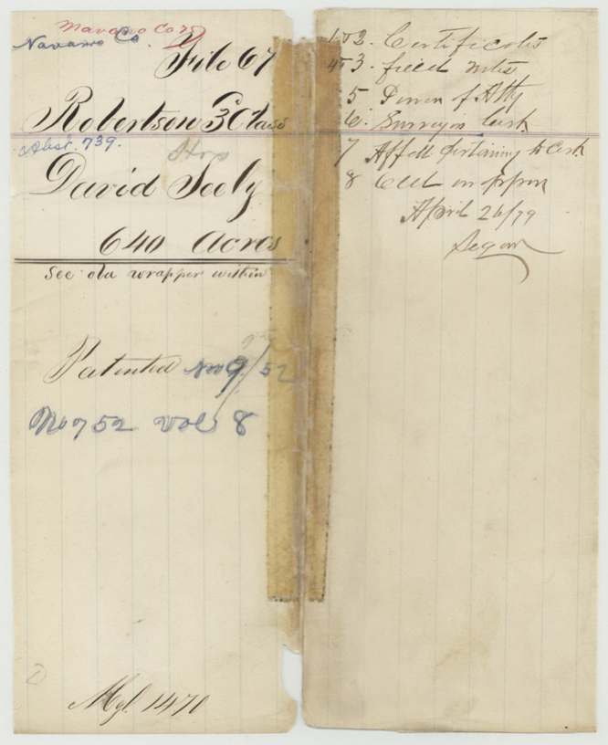
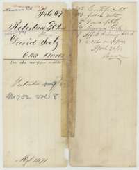 File jacketFile jacket for the David Seely headright, 640 acres, listing the certificates, field notes, power of attorney, surveyor's certificate and affidavit.General Land Office, file 67, page 1 · in the scan
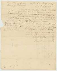 CertificateConditional headright certificate No. 163 for 640 acres issued to David Seely by the Board of Land Commissioners of Robertson County, 1 August 1842.General Land Office, file 67, page 2 · in the scan
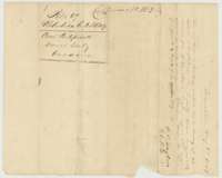 Back of the certificateBack of the conditional certificate, with a location entry of 6 May 1843 by county surveyor C. C. Taylor for land on the Trinity River.General Land Office, file 67, page 3 · in the scan
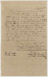 CertificateUnconditional headright certificate for 640 acres issued to David Seely at Franklin, Robertson County, 1 January 1844, after proof of three years' residence.General Land Office, file 67, page 4 · in the scan
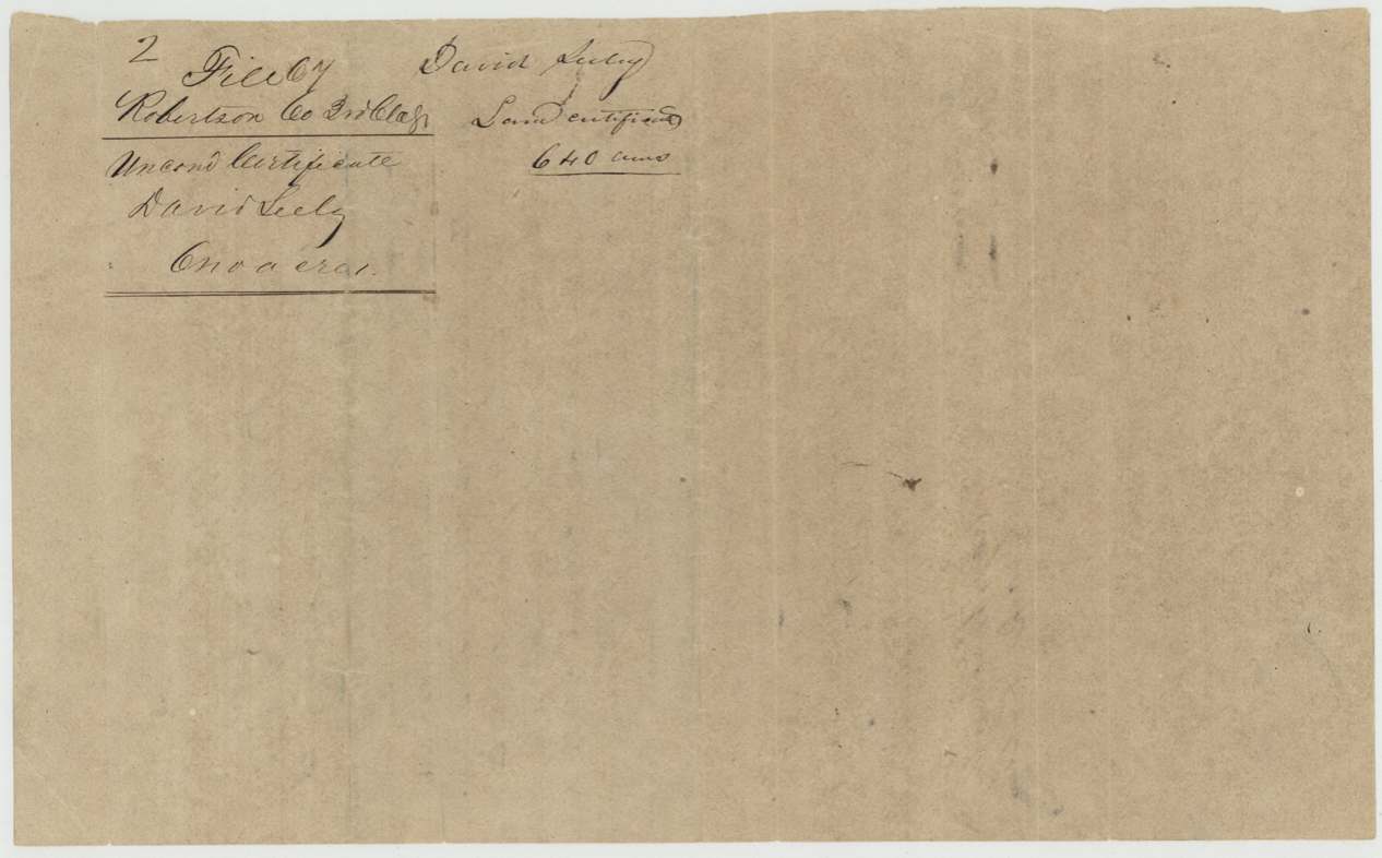
 WrapperFiling wrapper for the unconditional certificate of David Seely, Robertson County, 640 acres.General Land Office, file 67, page 5 · in the scan
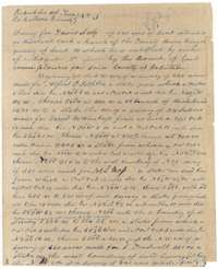 Field notesField notes of Survey No. 3, 640 acres for David Seely on Richland Creek, surveyed by C. C. Taylor in May 1844.General Land Office, file 67, page 6 · in the scan
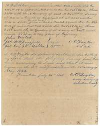 Field notesEnd of the field notes, naming chain carriers John Welch and Jas. M. Springfield, with C. C. Taylor's oath of 25 July 1844.General Land Office, file 67, page 7 · in the scan
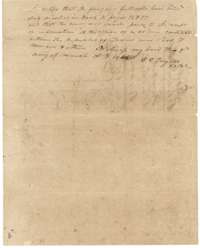 Surveyor's certificateCertificate by C. C. Taylor, 9 March 1846, that the Seely survey is recorded in Book K, pages 76 and 77.General Land Office, file 67, page 8 · in the scan
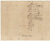 WrapperWrapper for the Seely survey, noting 696 acres, with a later land office note of 4 October 1850.General Land Office, file 67, page 9 · in the scan
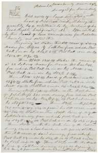 Field notesField notes for 640 acres at the head of Richland Creek for David Seely, surveyed by deputy surveyor Wm. L. Browning, 6 November 1851.General Land Office, file 67, page 10 · in the scan
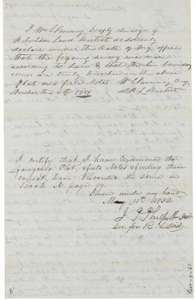 Surveyor's certificateBrowning's oath on the survey, 6 November 1851, and District Surveyor J. T. Philpott's certificate of 11 May 1852 recording it in Book N, page 89.General Land Office, file 67, page 11 · in the scan
 WrapperDocket wrapper for the field notes of 640 acres for David Seely, recorded in Book N, page 89, marked patented.General Land Office, file 67, page 12 · in the scan
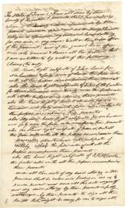 Power of attorneyPower of attorney of 12 March 1846 in which David Seely names Henry J. Jewett to obtain patents on several headright claims.General Land Office, file 67, page 13 · in the scan
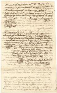 Power of attorneySecond page of the power of attorney, signed by David Seely and witnessed, acknowledged before Henry Reed, Chief Justice of Robertson County.General Land Office, file 67, page 14 · in the scan
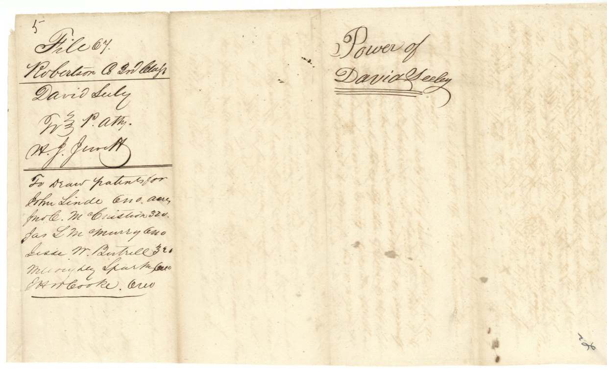
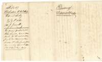 WrapperFiling wrapper for the power of attorney from David Seely to Henry J. Jewett.General Land Office, file 67, page 15 · in the scan
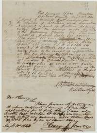 Surveyor's certificateCertificate of District Surveyor David R. Mitchell, 10 August 1846, on surveys made before news of the Mercer colony contract, with a note from Henry J. Jewett.General Land Office, file 67, page 16 · in the scan
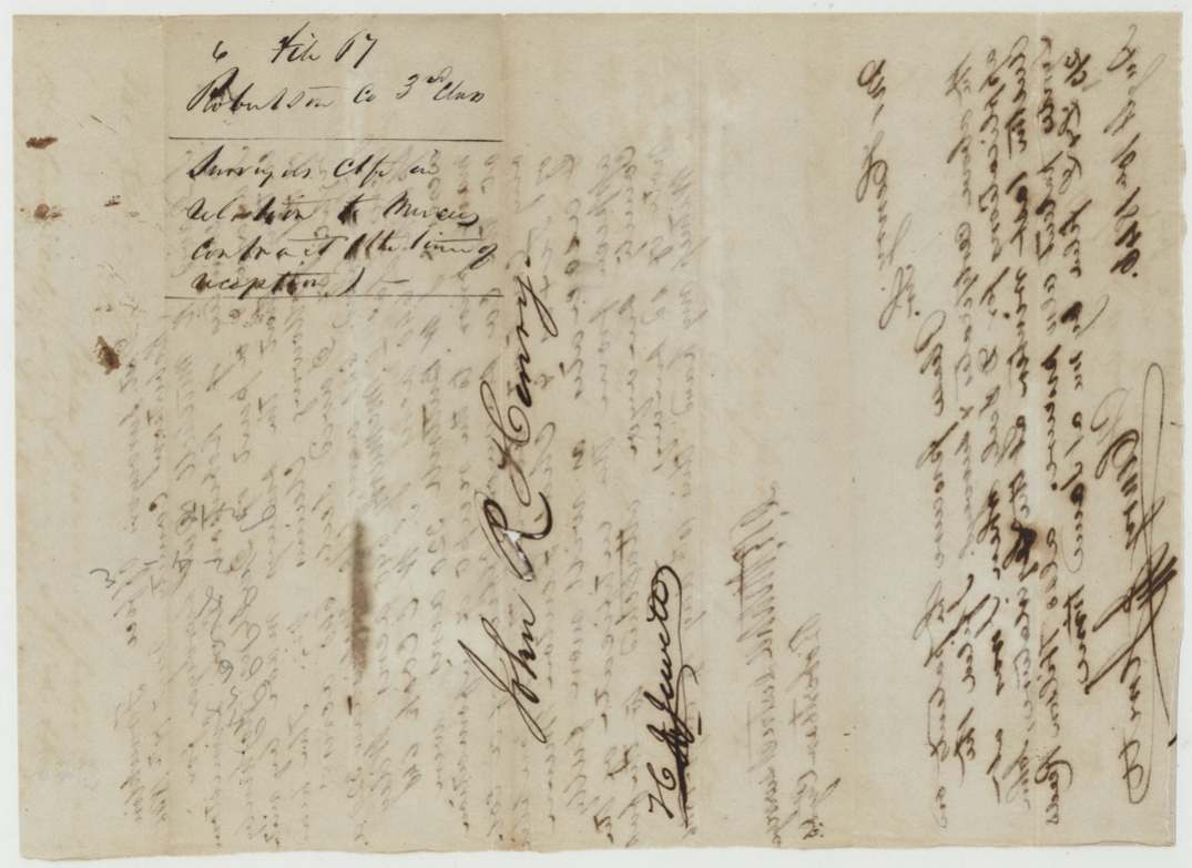
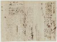 WrapperWrapper for the surveyor's certificate on the Mercer colony contract, with filing notes and signatures.General Land Office, file 67, page 17 · in the scan
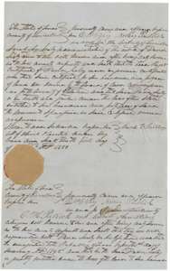 AffidavitAffidavit of 1 May 1850 in Limestone County by the administratrix of David Seely's estate, swearing his certificate is genuine.General Land Office, file 67, page 18 · in the scan
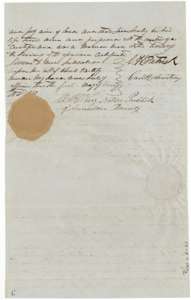 AffidavitSecond page of the affidavit, with sworn statements by C. H. Patrick and Cavitt Armstrong that Seely was a married settler in Texas before 1842.General Land Office, file 67, page 19 · in the scan
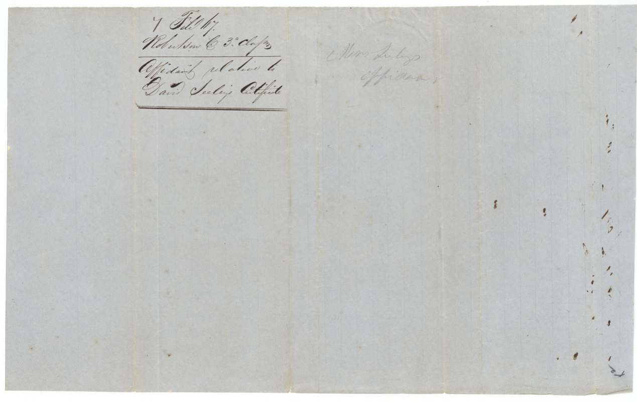
 WrapperFiling wrapper for the affidavit concerning the David Seely certificate.General Land Office, file 67, page 20 · in the scan
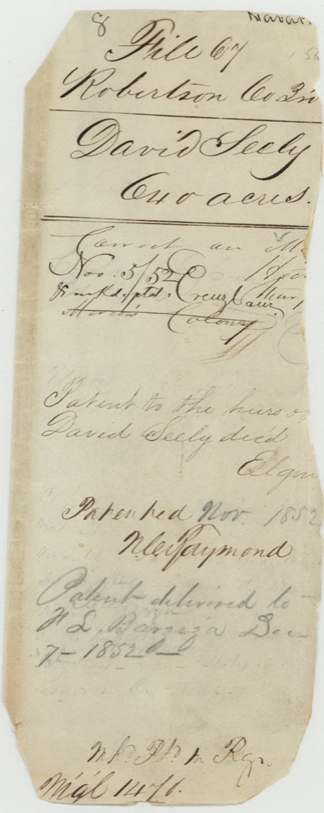
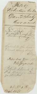 WrapperOld wrapper for the David Seely file, noting the patent to his heirs in November 1852.General Land Office, file 67, page 21 · in the scan
Scans courtesy of the Texas General Land Office, Austin, from its Land Grant Database.
Neighbouring surveys
Sources
- Texas General Land Office, Land Grant Database: Navarro County, Abstract 739
- The Land Office file, scanned (PDF, at the General Land Office)
- 1924 map: courtesy of the Texas General Land Office, Austin, Map 73249, used under licence. Topo: U.S. Geological Survey, The National Map. Aerial photographs: U.S. Department of Agriculture, National Agriculture Imagery Program, 2012, 2018 and 2022. Survey outlines: Railroad Commission of Texas, Original Texas Land Survey. Grant records and files: Texas General Land Office.