Blackland TX · ← All the original surveys
Alfred Y. Lothlen Survey, Abstract 489
- Granted to
- Alfred Y. Lothlen
- Kind of grant
- Headright, third classLand for later settlers, including the colonists of Mercer’s Colony.
- Land Office file
- Robertson 3rd class, file 178
- Certificate
- No. 4
- Acres
- 640
- Patented to
- Joseph A. McMinney
- Patent
- 12 Aug 1854 · No. 459, Vol. 11
Tap a survey to open its page.
What the file shows
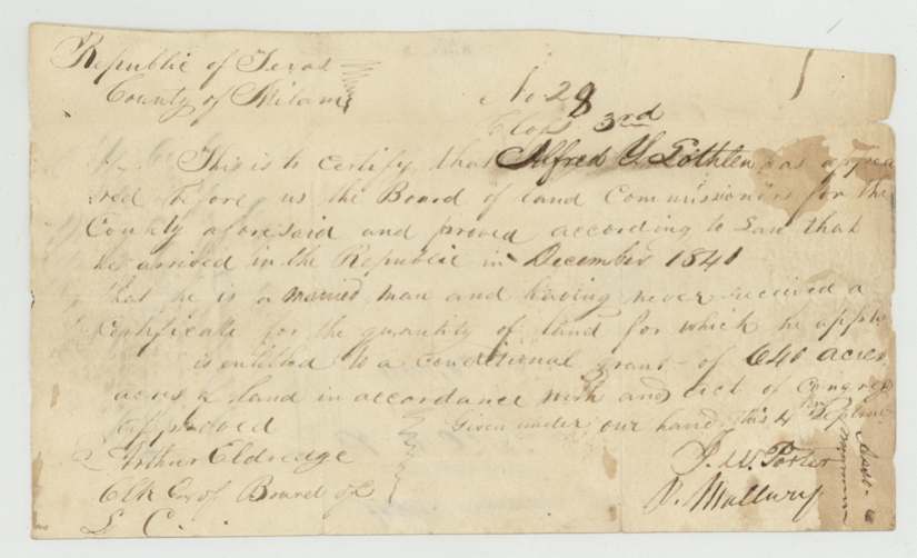
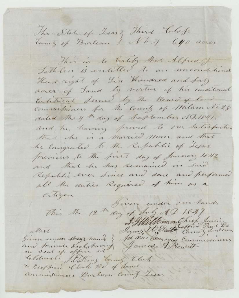
Alfred Y. Lothlen, a married man who came to Texas in 1841, received a conditional 640-acre third-class headright from the Milam County land board in September 1841. Robertson County Surveyor C. C. Taylor located it on the waters of Richland Creek in May 1844, with Ethan Melton on the chain. In July 1847 the Burleson County court made the grant unconditional, and Lothlen assigned it the same day to Joseph A. McMinney. Because the land lay inside Mercer's Colony, District Surveyor David R. Mitchell certified in 1848 that the survey predated notice of the colony contract, and the patent issued to McMinney on August 12, 1854.
The certificate
headright 3rd class, No. 28 (conditional, Milam County); No. 4 (unconditional, Burleson County), 640 acres, Board of Land Commissioners for Milam County — J. W. Porter(?) and P. Mallury(?), approved Arthur Eldridge(?), Clerk (conditional); Burleson County board — J. G. Wilkinson, Chief Justice and ex-officio President, with James W. Scott(?), Adam Lawrence(?) and James A. Prewitt(?), attested J. E. King(?), County Clerk, at Caldwell (unconditional), Milam County; Caldwell, Burleson County, 1841-09-04 (conditional); 1847-07-12 (unconditional).
Arrived in the Republic in December 1841; a married man who had never received a certificate; conditional grant of 640 acres. Unconditional certificate issued on proof that he emigrated before 1 Jan 1842, remained in the Republic and performed the duties of a citizen
Changes of hand
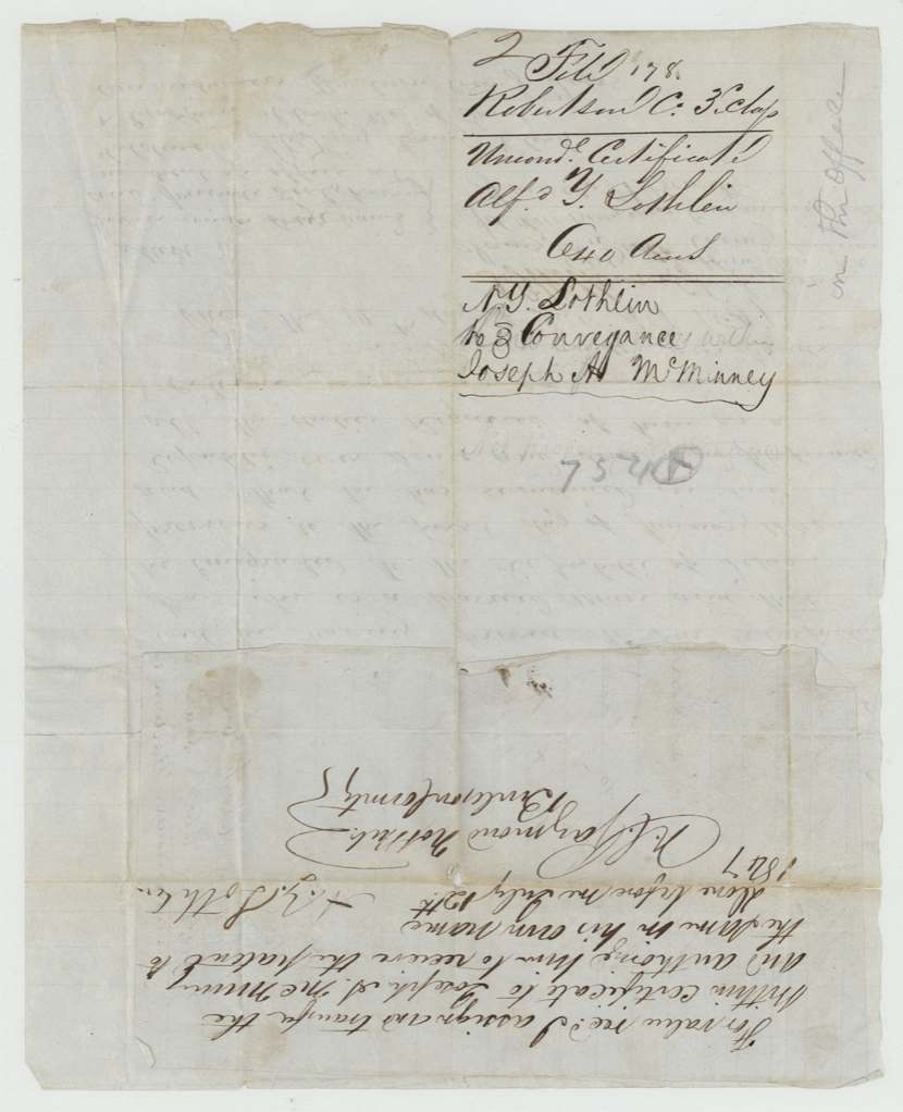
- 12 Jul 1847A. Y. Lothlen → Joseph A. McMinney, 'for value received', Burleson County. Endorsed on the back of the unconditional certificate the same day it was issued; authorises McMinney to receive the patent in his own name
The survey
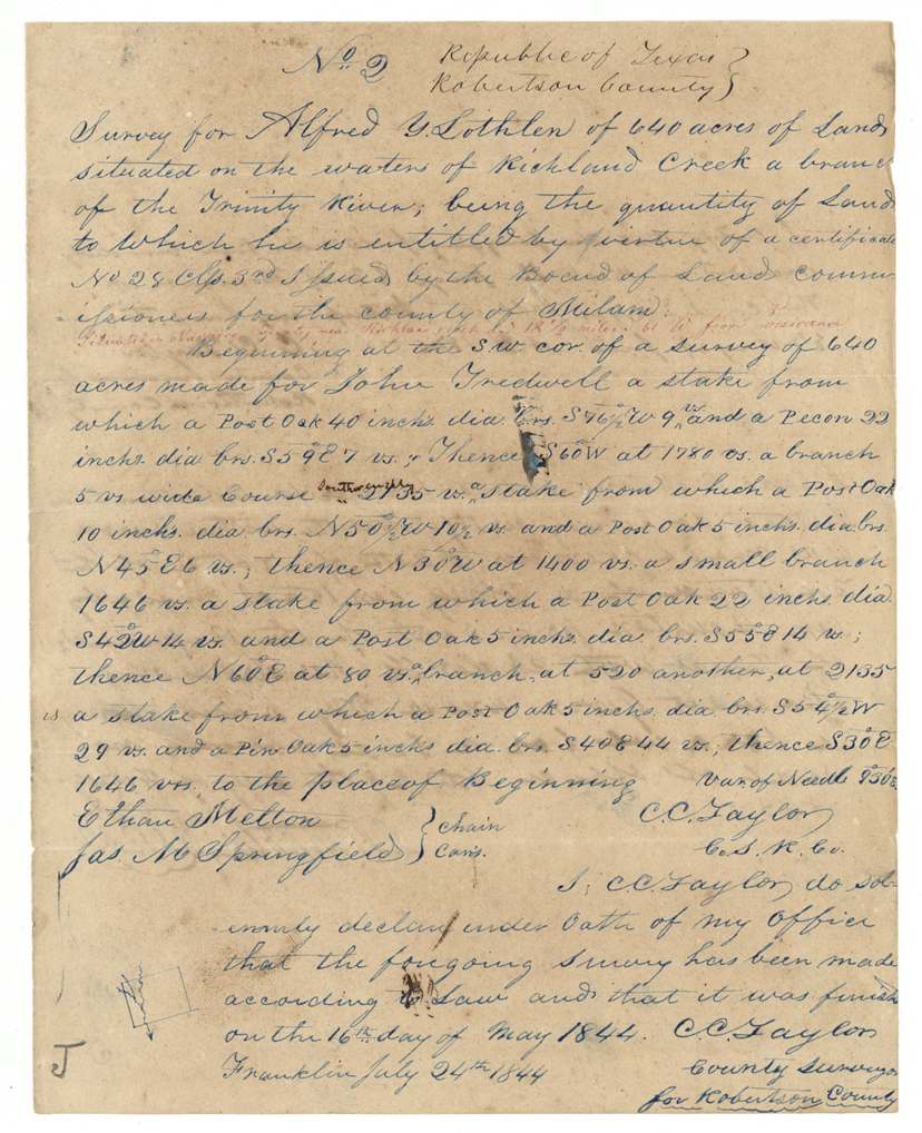
finished 1844-05-16; sworn at Franklin 1844-07-24, C. C. Taylor, County Surveyor for Robertson County.
On the waters of Richland Creek, a branch of the Trinity River; red later note: in Navarro County on Richland Creek about 18½ miles (S?) 61 W from Corsicana
Chain carriers: Ethan Melton, Jas. M. Springfield(?).
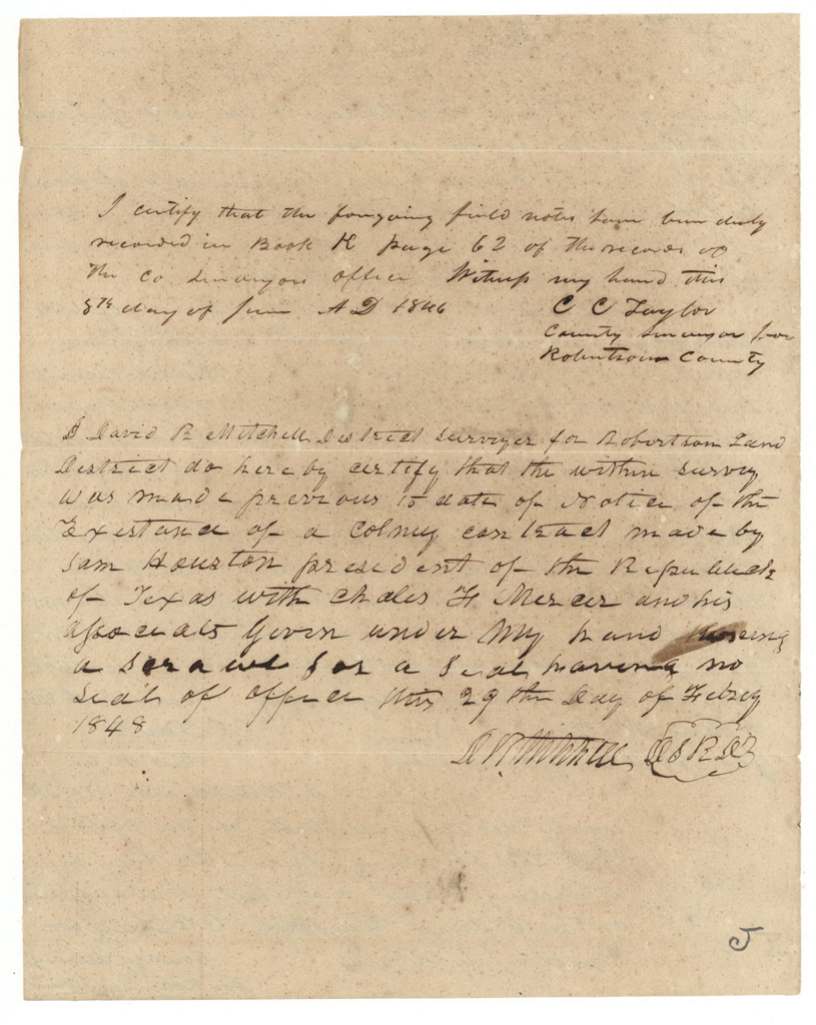
Robertson County surveyor's Book K, page 62 (8 June 1846)
The patent
12 Aug 1854, No. 459 Vol. 11, to Joseph A. McMinney, assignee.
Also in the file
- The land fell inside Mercer's Colony, so the Land Office needed the district surveyor's statement that it had been surveyed before anyone knew of Sam Houston's colony contract with Charles F. Mercer.
- The 1841 certificate is dated September 4, 1841, but states he arrived in the Republic in December 1841.
- Lothlen sold his headright to Joseph A. McMinney on the very day it was made unconditional, before the same county.
- The survey was made in 1844 when this land was still part of Robertson County; it later fell in Navarro County.
- Chain carrier Ethan Melton is an early Melton in the Richland Creek country.
Timeline
- 4 Sep 1841Milam County board issues conditional certificate No. 28 to Alfred Y. Lothlen
- 16 May 1844C. C. Taylor finishes the 640-acre survey on Richland Creek waters
- 24 Jul 1844Taylor swears to the survey at Franklin
- 8 Jun 1846Field notes recorded, Robertson County Book K p. 62
- 12 Jul 1847Burleson County Court grants unconditional certificate No. 4; Lothlen assigns it to Joseph A. McMinney
- 29 Feb 1848District Surveyor David R. Mitchell certifies the survey predates notice of the Mercer contract
- 13 Apr 1848Map check: in Mercer's Colony, otherwise correct
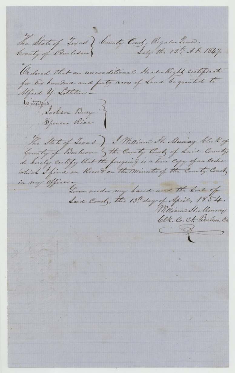
- 13 Apr 1854Burleson County clerk certifies copy of the 1847 order
- 12 Aug 1854Patent No. 459 Vol. 11 issued to Joseph A. McMinney, assignee
The papers in the file
Every page of the Land Office file, in the order the Land Office keeps them (11 pages). Tap a page to see it larger.
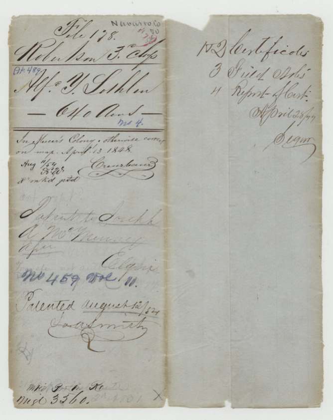
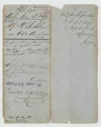 File jacketFile jacket for the headright of Alfred Y. Lothlen, 640 acres, listing the certificates, field notes and a report of the unconditional certificate.General Land Office, file 178, page 1 · in the scan
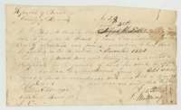 CertificateConditional headright certificate No. 28 issued 4 September 1841 by the Board of Land Commissioners of Milam County to Alfred Y. Lothlen for 640 acres.General Land Office, file 178, page 2 · in the scan
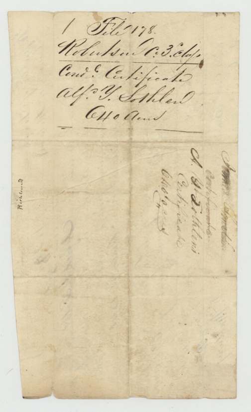
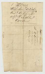 WrapperFiling wrapper for Lothlen's unconditional certificate.General Land Office, file 178, page 3 · in the scan
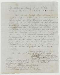 CertificateUnconditional headright certificate for 640 acres issued 12 July 1847 in Burleson County to Alfred Y. Lothlen.General Land Office, file 178, page 4 · in the scan
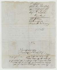 Back of the certificateBack of the certificate, with Lothlen's endorsement of 12 July 1847 assigning it to Joseph A. McMinney before a Burleson County notary.General Land Office, file 178, page 5 · in the scan
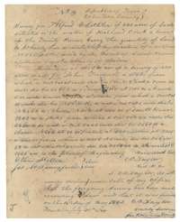 Field notesField notes for 640 acres on Richland Creek, Navarro County, surveyed for Alfred Y. Lothlen by county surveyor C. C. Taylor, May 1844.General Land Office, file 178, page 6 · in the scan
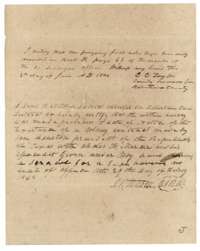 Surveyor's certificateSurveyor's recording note of 1846 and district surveyor David R. Mitchell's certificate of 29 February 1848 that the survey was made before the colony contract.General Land Office, file 178, page 7 · in the scan
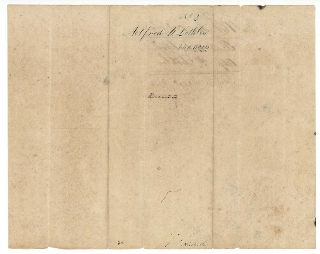
 WrapperBack of the Lothlen field notes, with the grantee's name.General Land Office, file 178, page 8 · in the scan
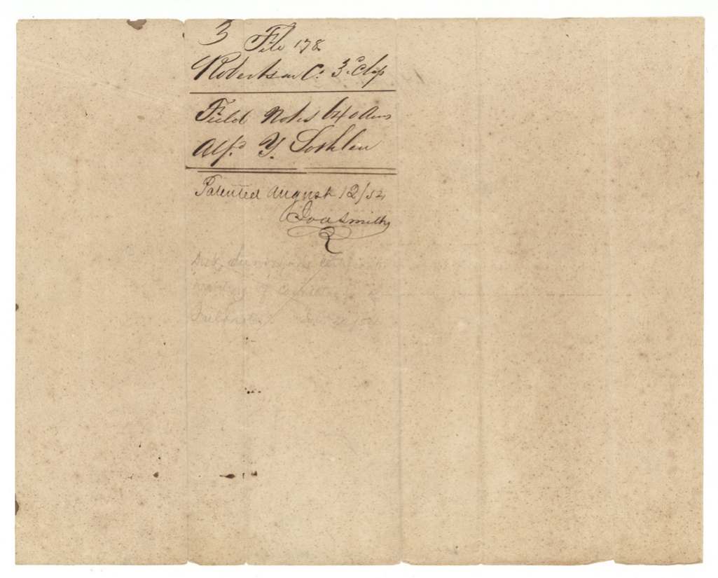
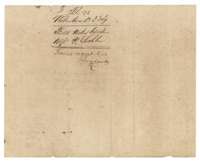 WrapperFiling wrapper for the Lothlen field notes, with a file note of 12 August 1852.General Land Office, file 178, page 9 · in the scan
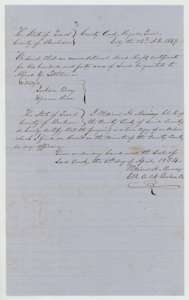 CertificateCertified copy of the Burleson County Court order of 12 July 1847 granting Alfred Y. Lothlen an unconditional headright for 640 acres, certified 13 April 1854.General Land Office, file 178, page 10 · in the scan
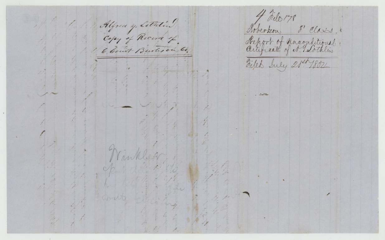
 WrapperFiling wrapper for the copy of the county court record, filed 26 July 1854.General Land Office, file 178, page 11 · in the scan
Scans courtesy of the Texas General Land Office, Austin, from its Land Grant Database.
Neighbouring surveys
Sources
- Texas General Land Office, Land Grant Database: Navarro County, Abstract 489
- The Land Office file, scanned (PDF, at the General Land Office)
- 1924 map: courtesy of the Texas General Land Office, Austin, Map 73249, used under licence. Topo: U.S. Geological Survey, The National Map. Aerial photographs: U.S. Department of Agriculture, National Agriculture Imagery Program, 2012, 2018 and 2022. Survey outlines: Railroad Commission of Texas, Original Texas Land Survey. Grant records and files: Texas General Land Office.