Blackland TX · ← All the original surveys
William R. Allegree Survey, Abstract 23
- Granted to
- William R. Allegree
- Kind of grant
- Headright, third classLand for later settlers, including the colonists of Mercer’s Colony.
- Land Office file
- Robertson 3rd class, file 1970
- Certificate
- No. 275
- Acres
- 640
- Patented to
- Benjamin R. Tyus
- Patent
- 02 Aug 1854 · No. 434, Vol. 11
Tap a survey to open its page.
What the file shows
William R. Allegree received Mercer's Colony certificate No. 275 for 640 acres at Corsicana on 19 April 1850 after proving his citizenship as a colonist. That August he sold the certificate to Benjamin R. Tyus, the sale being proved in Limestone County. Wm. L. Browning surveyed it in June 1854 on the waters of Richland Creek about 12 miles southwest of Corsicana, between the J. M. Smith league, J. T. Bell and Thomas J. Church. The survey overlapped an 1845 survey for W. J. Ladd that lacked certificate details, but the land office mapped it and patented it to Tyus as assignee on 2 August 1854.
The certificate
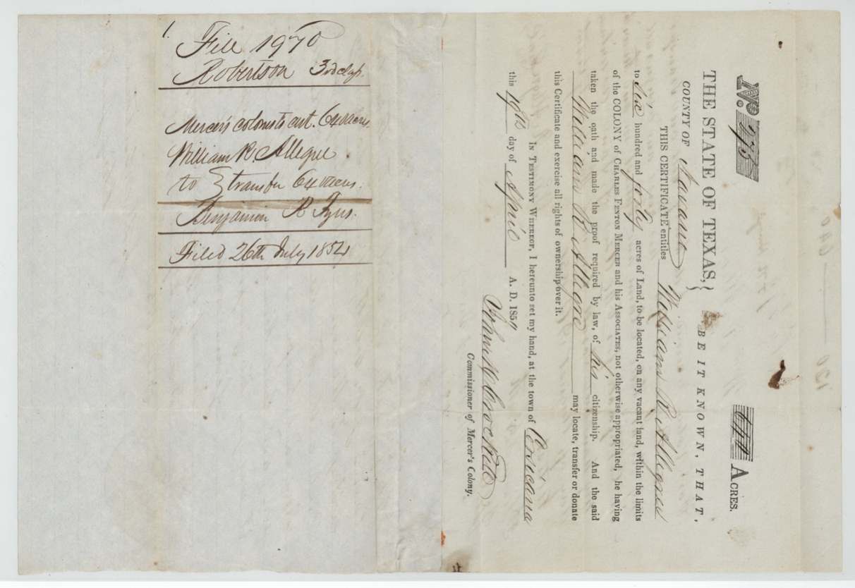
other (Mercer's Colony colonist certificate; filed as Robertson 3rd class), No. 275, 640 acres, John M. Crockett, Commissioner of Mercer's Colony (name from the field notes; signature on the printed certificate hard to read), Town of Corsicana, Navarro County, 19 Apr 1850.
Colonist of the Colony of Charles Fenton Mercer and his Associates; William R. Allegree, a single man(?) ('to six hundred and forty acres'), having taken the oath and made the proof required by law of his citizenship
Changes of hand
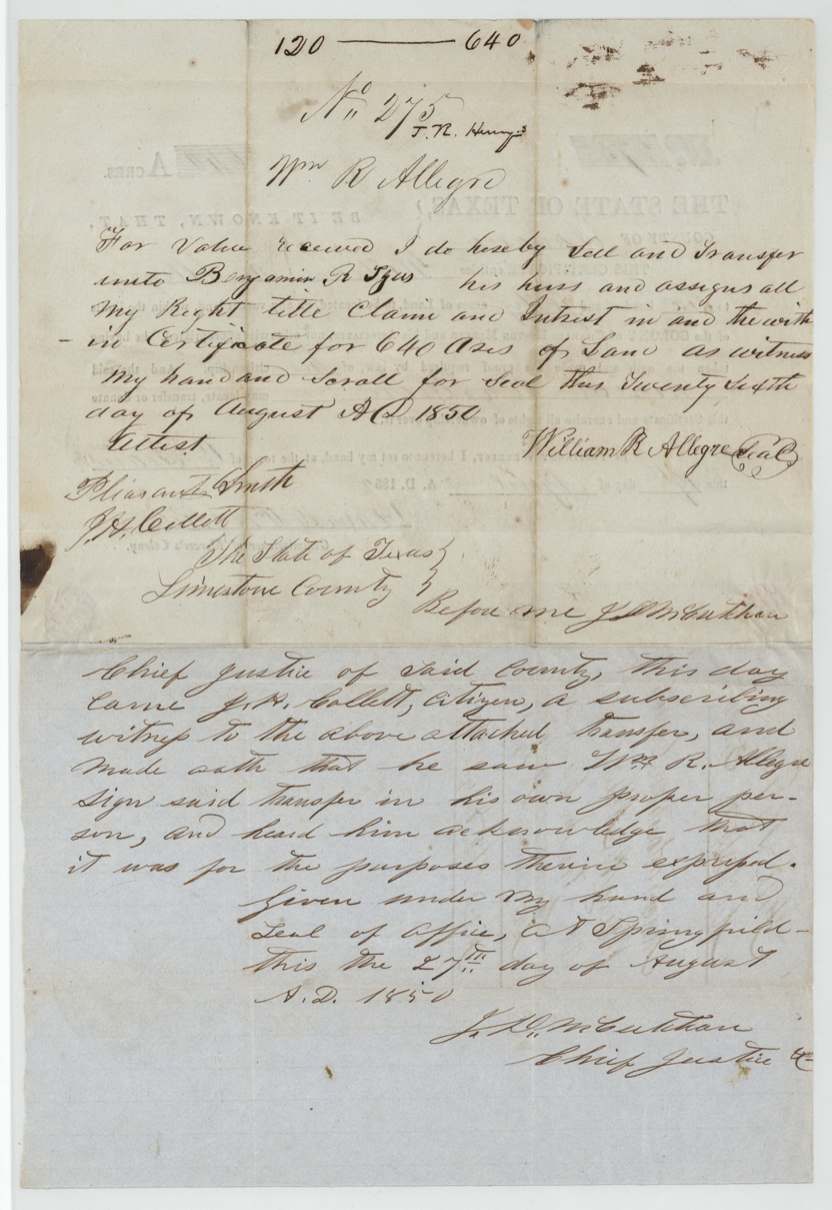
- 26 Aug 1850William R. Allegree → Benjamin R. Tyus, his heirs and assigns, 'for value received' (no sum stated), Limestone County (proved there). Written on the back of the certificate itself, sealed with a scroll. Header notes 'No. 275, T. R. Hurry(?)' and '120 — 640'.
The survey
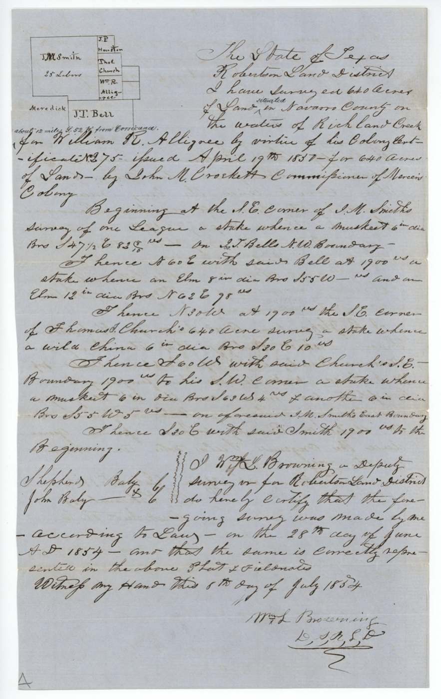
1854-06-28 (certified 1854-07-08), Wm. L. Browning, Deputy Surveyor, Robertson Land District.
Navarro County on the waters of Richland Creek, about 12 miles S 52 W from Corsicana
Chain carriers: Shepherd Baly, John Baly.
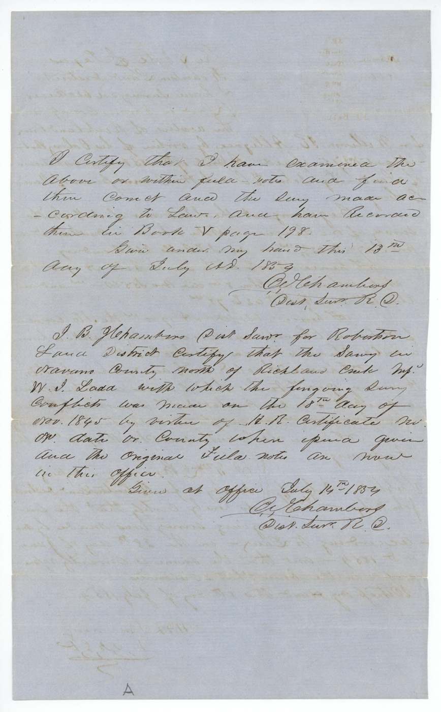
Book V, page 198
The patent
2 Aug 1854, No. 434, Vol. 11, to Benjamin R. Tyus, assignee, delivered to Elgin.
Also in the file
- This survey sat on top of an older 1845 survey made for W. J. Ladd. The district surveyor explained that Ladd's survey rested on a headright certificate whose number, date and county were never given — which is why this 1854 survey could still be patented over it.
- The certificate is a Mercer's Colony certificate, though the file is classed as Robertson 3rd class.
- The original colonist, Allegree, sold the certificate four months after it was issued; the land was patented to the buyer, Benjamin R. Tyus.
Timeline
- 18 Nov 1845Earlier survey for W. J. Ladd made north of Richland Creek on the same ground
- 19 Apr 1850Mercer's Colony certificate No. 275 for 640 acres issued to William R. Allegree at Corsicana
- 26 Aug 1850Allegree sells the certificate to Benjamin R. Tyus
- 27 Aug 1850Transfer proved before the Chief Justice of Limestone County at Springfield
- 28 Jun 1854Surveyed by Wm. L. Browning on Richland Creek, ~12 miles SW of Corsicana
- 13 Jul 1854Field notes examined and recorded, Book V p. 198
- 14 Jul 1854District surveyor certifies the conflict with the Ladd survey
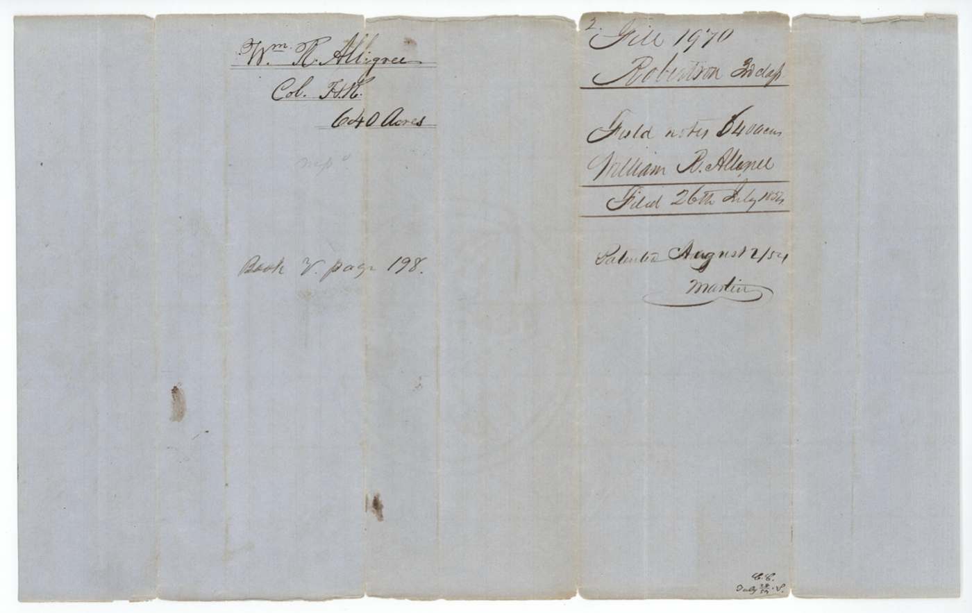
- 26 Jul 1854Papers filed in the General Land Office
- 29 Jul 1854Mapped: 'on a survey marked Wm J. Ladd, otherwise correct'
- 2 Aug 1854Patent No. 434 Vol. 11 to Benjamin R. Tyus, assignee
The papers in the file
Every page of the Land Office file, in the order the Land Office keeps them (6 pages). Tap a page to see it larger.
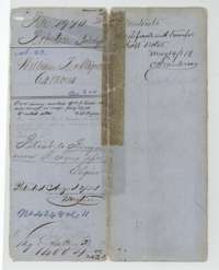 File jacketFile jacket for William R. Allegree's 640-acre Mercer's Colony survey, with the patent of 2 August 1854 to Benjamin R. Tyus as assignee.General Land Office, file 1970, page 1 · in the scan
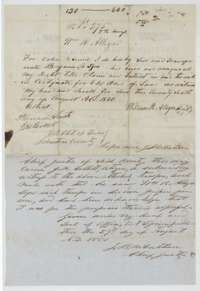 TransferTransfer written on the certificate, from William R. Allegree to Benjamin R. Tyus, 26 August 1850, proved before the chief justice of Limestone County.General Land Office, file 1970, page 2 · in the scan
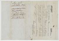 CertificateMercer's Colony certificate No. 275 for 640 acres issued to William R. Allegree at Corsicana, 19 April 1850, with the docket and filing note of 26 July 1854.General Land Office, file 1970, page 3 · in the scan
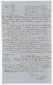 Field notesField notes for 640 acres on Richland Creek, surveyed for William R. Allegree by deputy surveyor Wm. L. Browning, 28 June 1854, with a small plat.General Land Office, file 1970, page 4 · in the scan
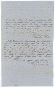 Surveyor's certificateDistrict surveyor's certificates of 13 and 14 July 1854 that the Allegree survey is correct and recorded in Book V, page 198, and on the earlier Ladd survey.General Land Office, file 1970, page 5 · in the scan
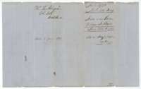 WrapperField notes jacket for William R. Allegree's 640 acres, recorded in Book V, page 198, with the filing note of 26 July 1854 and the patent note.General Land Office, file 1970, page 6 · in the scan
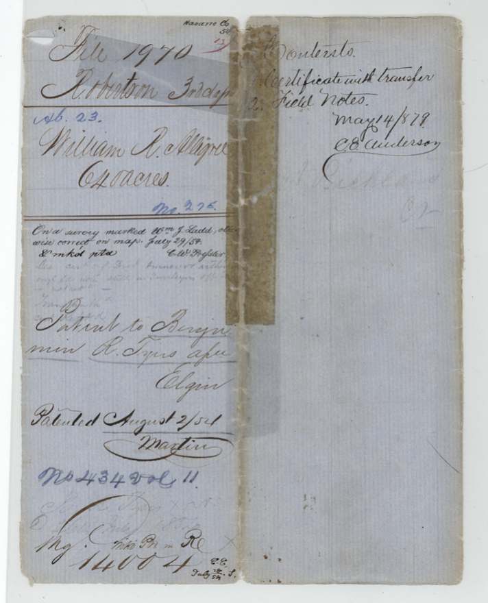
Scans courtesy of the Texas General Land Office, Austin, from its Land Grant Database.
Neighbouring surveys
Sources
- Texas General Land Office, Land Grant Database: Navarro County, Abstract 23
- The Land Office file, scanned (PDF, at the General Land Office)
- 1924 map: courtesy of the Texas General Land Office, Austin, Map 73249, used under licence. Topo: U.S. Geological Survey, The National Map. Aerial photographs: U.S. Department of Agriculture, National Agriculture Imagery Program, 2012, 2018 and 2022. Survey outlines: Railroad Commission of Texas, Original Texas Land Survey. Grant records and files: Texas General Land Office.