Blackland TX · ← All the original surveys
John P. Houston Survey, Abstract 382
- Granted to
- John P. Houston
- Kind of grant
- Headright, third classLand for later settlers, including the colonists of Mercer’s Colony.
- Land Office file
- Robertson 3rd class, file 863
- Acres
- 320
- Patented to
- Heirs of John P. Houston
- Patent
- 14 Feb 1855 · No. 1085, Vol. 11
Tap a survey to open its page.
What the file shows
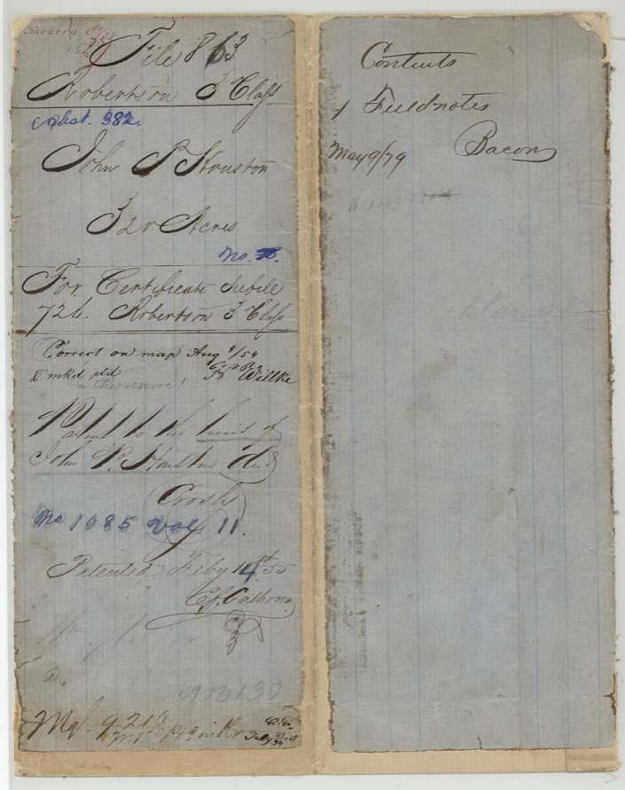
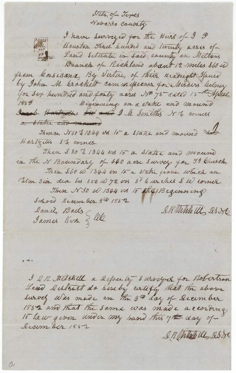
This file holds the survey for a 640-acre headright, No. 75, issued to the heirs of J. P. Houston by John M. Crockett, commissioner for Mercer's Colony, and dated 15 April 1850 according to the field notes. The certificate itself is in Robertson 3rd-class file 726. On 3 December 1852 deputy surveyor D. R. Mitchell laid 320 acres on Meltons Branch of Richland Creek, about 12 miles southwest of Corsicana, next to the J. M. Smith, Hartzell and J. J. Church surveys. B. J. Chambers recorded the survey in June 1853, and the land was patented to the heirs of John P. Houston in February 1855.
The certificate
headright (Mercer's Colony certificate, filed by GLO as Robertson 3rd class), No. 75, 640 (this survey uses 320), John M. Crockett, Commissioner for Mercer's Colony, not stated, 1850-04-15 (year reads '1850'; last digit could be read otherwise).
Not stated in this file — the certificate itself is in another file: wrapper says 'For certificate see file 726 Robertson 3rd Class'
The survey
1852-12-03 (certified 1852-12-07), D. R. Mitchell, Deputy Surveyor for Robertson Land District (signs 'D.S.N.C.').
Navarro County, on Meltons Branch of Richland [Creek], about 12 miles S 60 W from Corsicana
Chain carriers: Daniel Bails(?), James Kerr(?).
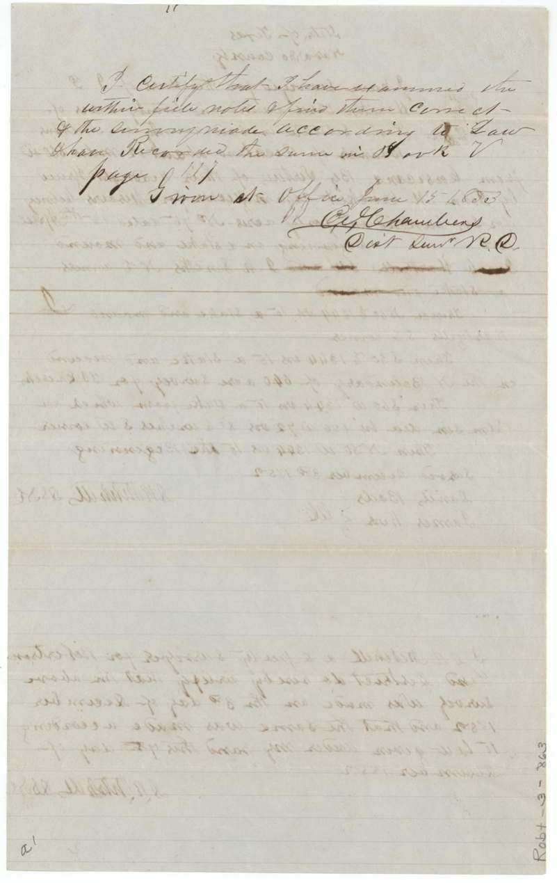
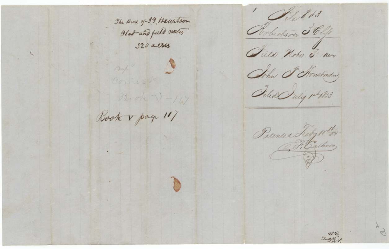
Book V, page 117
The patent
1855-02-14 (wrapper; field-note docket reads 'Feby 10th 55'), No. 1085, Vol. 11, to the heirs of John P. Houston, dec'd, delivered to not clearly stated; wrapper foot 'Mgl. 9216(?) ... mailed(?) ...' illegible.
Also in the file
- The file names the creek branch as 'Meltons Branch of Richland' — an early written use of the Melton name for a stream in western Navarro County.
- A certificate from Mercer's Colony (issued by John M. Crockett) was located in the Robertson Land District and filed with Robertson third-class grants.
- A faint pencil note 'in the reserve!' on the map check may mean the tract was thought to fall in a reserved area; it was nonetheless passed as correct.
- Patent date differs slightly between the jacket (Feb 14) and the field-note docket (Feb 10).
Timeline
- 15 Apr 1850Mercer's Colony commissioner John M. Crockett issues 640-acre headright No. 75 to the heirs of J. P. Houston (per field notes)
- 3 Dec 1852D. R. Mitchell surveys 320 acres on Meltons Branch of Richland
- 7 Dec 1852Mitchell certifies survey
- 15 Jun 1853B. J. Chambers examines and records field notes, Book V p. 117
- 1 Jul 1853Field notes filed in GLO
- 4 Aug 1854Map check: correct on map (Willke)
- 14 Feb 1855Patent No. 1085, Vol. 11 to heirs of John P. Houston
The papers in the file
Every page of the Land Office file, in the order the Land Office keeps them (4 pages). Tap a page to see it larger.
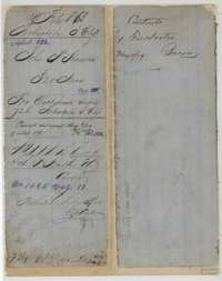 File jacketFile jacket for the Robertson Third Class file of John P. Houston, 320 acres, patented to his heirs in February 1855 as No. 1085, Volume 11.General Land Office, file 863, page 1 · in the scan
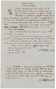 Field notesField notes for 320 acres on Melton's Branch of Richland Creek, surveyed for the heirs of J. P. Houston by deputy surveyor D. R. Mitchell on 3 December 1852.General Land Office, file 863, page 2 · in the scan
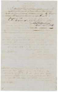 Surveyor's certificateCertificate of District Surveyor B. J. Chambers, 15 June 1853, that he examined the Houston field notes and recorded them in Book V, page 117.General Land Office, file 863, page 3 · in the scan
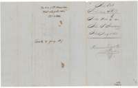 File jacketJacket for the plat and field notes of the heirs of J. P. Houston, 320 acres, filed 1 July 1853.General Land Office, file 863, page 4 · in the scan
Scans courtesy of the Texas General Land Office, Austin, from its Land Grant Database.
Neighbouring surveys
Sources
- Texas General Land Office, Land Grant Database: Navarro County, Abstract 382
- The Land Office file, scanned (PDF, at the General Land Office)
- 1924 map: courtesy of the Texas General Land Office, Austin, Map 73249, used under licence. Topo: U.S. Geological Survey, The National Map. Aerial photographs: U.S. Department of Agriculture, National Agriculture Imagery Program, 2012, 2018 and 2022. Survey outlines: Railroad Commission of Texas, Original Texas Land Survey. Grant records and files: Texas General Land Office.