Blackland TX · ← All the original surveys
G. A. Davis Survey, Abstract 203
- Granted to
- G. A. Davis
- Kind of grant
- Headright, first classLand for settlers who were in Texas before independence, 2 March 1836.
- Land Office file
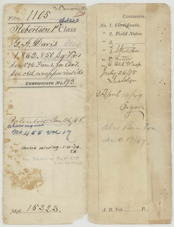
- Robertson 1st class, file 1105
- Certificate
- No. 193
- Acres
- 330
- Patented to
- Heirs of G. A. Davis
- Patent
- 24 Jan 1868 · No. 455, Vol. 17
Tap a survey to open its page.
What the file shows
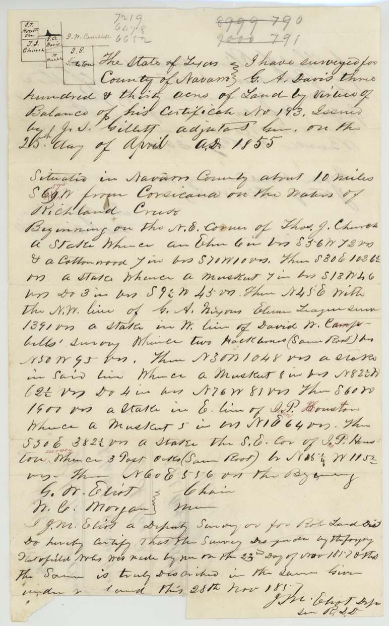
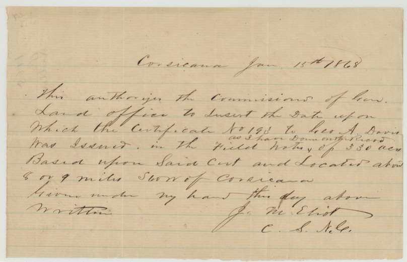
G. A. Davis held first-class certificate No. 193, which the field notes say was issued by Adjutant General J. S. Gillett on 25 April 1855; the certificate itself is filed in Fannin 1st Class file 596. On 23 November 1857 deputy surveyor J. M. Eliot located the balance of it, 330 acres, on the waters of Richland Creek about 10 miles southwest of Corsicana, between the Church, Nixon eleven-league, Campbell and Houston surveys. The survey was recorded in January 1858, and in 1861 Eliot certified that Davis's two tracts were not in conflict with other surveys. After Eliot wrote in January 1868 authorising the Land Office to insert the missing certificate date, the patent issued on 24 January 1868 to the heirs of G. A. Davis, deceased.
The certificate
headright 1st class, No. 193, J. S. Gillett, Adjutant General (per field notes), 1855-04-25 (date inserted in the field notes after the fact; see 1868 letter).
Not stated in this file; the certificate itself is in Fannin 1st Class file 596 ('See 596 Fan. 1 for Cert.')
The survey
1857-11-23 (certified 1857-11-28), J. M. Eliot, deputy surveyor, Robertson Land District.
Navarro County, about 10 miles S 59(?) W (corrected in red to 57) from Corsicana, on the waters of Richland Creek; begins at the NE corner of Thos. J. Church
Chain carriers: G. W. Eliot, W. C. Morgan.
Book R(?), page 306
The patent
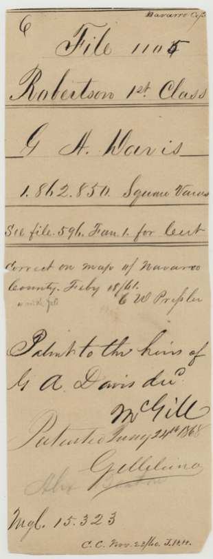
24 Jan 1868, No. 455, Vol. 17, to the heirs of G. A. Davis, deceased, delivered to Alex Benton(?), Dec 17/67 (pencil on wrapper).
Also in the file
- The surveyor left the certificate's issue date blank; in January 1868 he wrote authorising the Land Office to fill it in, which is why '25th April 1855' appears in the field notes.
- Eliot's 1868 letter places the land 8 or 9 miles southwest of Corsicana; the field notes say about 10 miles.
- G. A. Davis had died by the time of patent; it issued to his heirs about ten years after the survey.
- Eliot's 1861 certificate speaks of 'two tracts' in Davis's name; the second appears to be filed under Robertson file 875.
- A 1924 office note says one sketch was then missing from the file.
Timeline
- 25 Apr 1855Certificate No. 193 issued by J. S. Gillett, Adjutant General (date inserted later)
- 23 Nov 1857J. M. Eliot surveys 330 acres on Richland Creek waters ~10 mi SW of Corsicana
- 28 Nov 1857Eliot certifies field notes
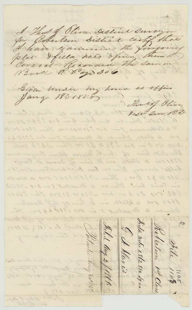
- 18 Jan 1858Oliver examines and records
- 2 Aug 1858Field notes filed in GLO
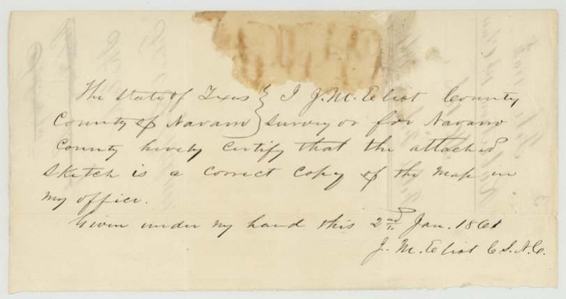
- 2 Jan 1861Eliot certifies sketch copy of county map
- 18 Feb 1861Sketch filed; correct on Navarro map (Pressler)
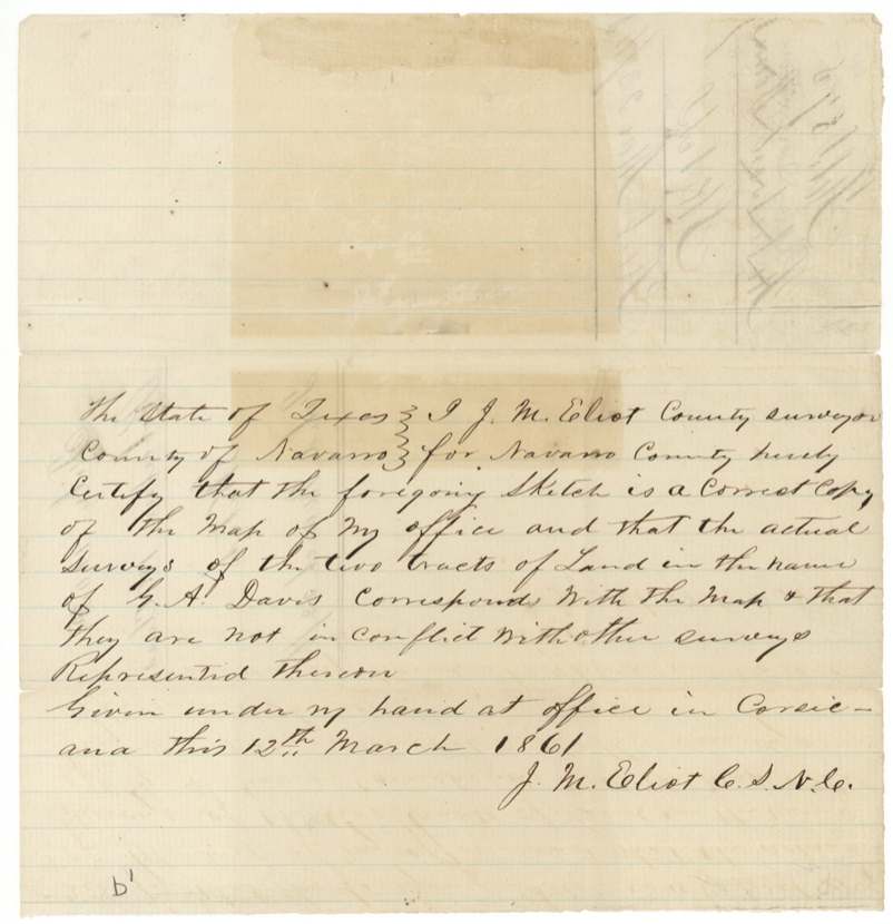
- 12 Mar 1861Eliot certifies the two Davis tracts are free of conflict
- 17 Dec 1867Pencil note 'Alex Benton(?)'
- 15 Jan 1868Eliot letter authorising insertion of certificate date
- 24 Jan 1868Patent No. 455, Vol. 17, to heirs of G. A. Davis
The papers in the file
Every page of the Land Office file, in the order the Land Office keeps them (12 pages). Tap a page to see it larger.
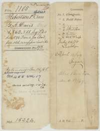 File jacketFile jacket for the Robertson First Class file of G. A. Davis, 1,862,850 square varas, certificate No. 193, listing the field notes, sketches, letter and old wrapper.General Land Office, file 1105, page 1 · in the scan
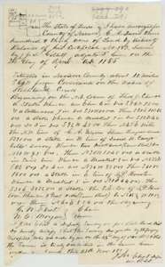 Field notesField notes for 330 acres on Richland Creek waters south-west of Corsicana, surveyed for G. A. Davis by deputy surveyor J. M. Eliot on 23 November 1857, with a plat.General Land Office, file 1105, page 2 · in the scan
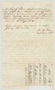 Surveyor's certificateCertificate of District Surveyor Thomas J. Oliver, 18 January 1858, that he examined the plat and field notes, with the jacket marked filed 2 August 1858.General Land Office, file 1105, page 3 · in the scan
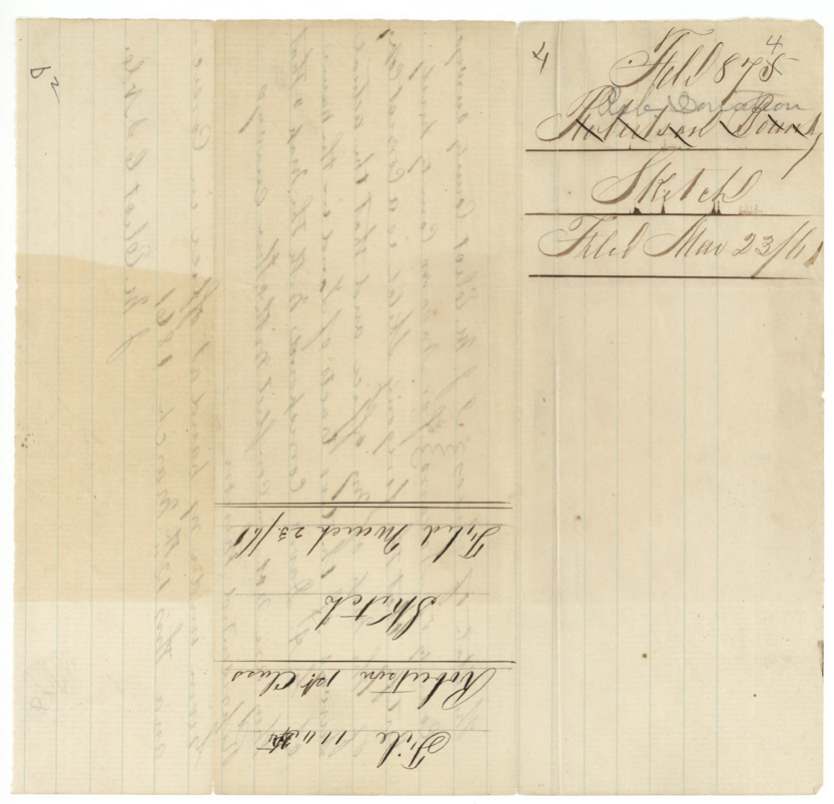
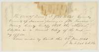 Surveyor's certificateCertificate of County Surveyor J. M. Eliot, 2 January 1861, that the attached sketch is a correct copy of the map in his office.General Land Office, file 1105, page 4 · in the scan
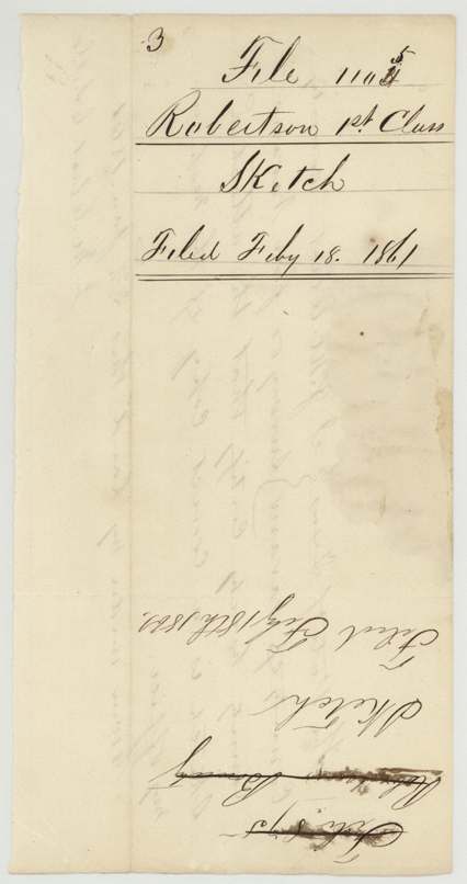
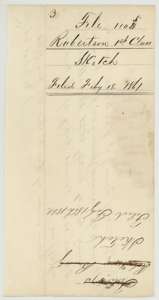 File jacketJacket for a sketch in the G. A. Davis file, filed 18 February 1861.General Land Office, file 1105, page 5 · in the scan
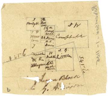
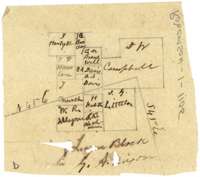 MapPencil sketch map showing the G. A. Davis survey and neighbouring tracts, including Campbell and Houston.General Land Office, file 1105, page 6 · in the scan
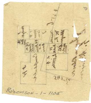
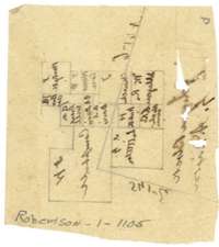 MapSecond pencil sketch map showing surveys near the G. A. Davis tract.General Land Office, file 1105, page 7 · in the scan
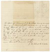 Surveyor's certificateCertificate of County Surveyor J. M. Eliot, Corsicana, 12 March 1861, that the sketch matches his office map and the Davis tracts do not conflict with other surveys.General Land Office, file 1105, page 8 · in the scan
 File jacketJacket for a sketch in the G. A. Davis file, filed 23 March 1861.General Land Office, file 1105, page 9 · in the scan
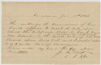 LetterLetter of J. M. Eliot, Corsicana, January 1868, authorising the Land Office to insert the date of certificate No. 193 in the 330-acre field notes.General Land Office, file 1105, page 10 · in the scan
 File jacketJacket for the January 1868 letter in the G. A. Davis file.General Land Office, file 1105, page 11 · in the scan
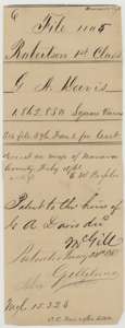 File jacketOld wrapper for the G. A. Davis file, noting the map check of February 1861 and the patent to the heirs of G. A. Davis on 24 January 1868.General Land Office, file 1105, page 12 · in the scan
Scans courtesy of the Texas General Land Office, Austin, from its Land Grant Database.
Neighbouring surveys
Sources
- Texas General Land Office, Land Grant Database: Navarro County, Abstract 203
- The Land Office file, scanned (PDF, at the General Land Office)
- 1924 map: courtesy of the Texas General Land Office, Austin, Map 73249, used under licence. Topo: U.S. Geological Survey, The National Map. Aerial photographs: U.S. Department of Agriculture, National Agriculture Imagery Program, 2012, 2018 and 2022. Survey outlines: Railroad Commission of Texas, Original Texas Land Survey. Grant records and files: Texas General Land Office.