Blackland TX · ← All the original surveys
G. W. Dunegan Survey, Abstract 891
- Granted to
- G. W. Dunegan
- Kind of grant
- Headright, third classLand for later settlers, including the colonists of Mercer’s Colony.
- Land Office file
- Robertson 3rd class, file 5619
- Certificate
- No. 23/73
- Acres
- 51.34
- Patented to
- J. M. Eliot
- Patent
- 25 Jul 1884 · No. 568, Vol. 45
Tap a survey to open its page.
What the file shows
George W. Dunegan's third-class certificate had already produced several patented surveys when the Land Office issued him a final balance certificate (No. 23/73) for 52 acres on 1 June 1878. The heirs of J. M. Eliot, through Jno. D. Lee, applied to place it on a vacant strip about 11.5 miles southwest of Corsicana, between the Houston, Hartzell, Davis and Barclay surveys. Deputy surveyor D. E. Greer surveyed 51 1/3 acres on 27 March 1879 and wrote to the Commissioner explaining how the gap had been left by older surveys. The patent issued on 25 July 1884 to J. M. Eliot as assignee.
The certificate
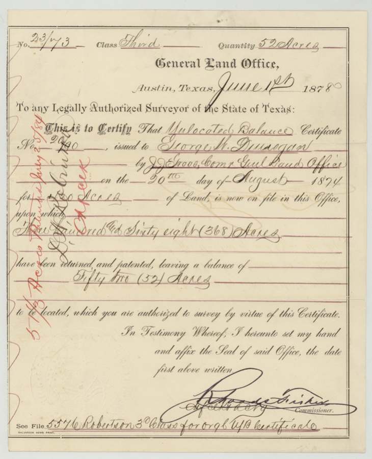
headright 3rd class, No. 23/73 (unlocated balance certificate), 52 acres, Rhoads Fisher, Chief Clerk and acting Commissioner, General Land Office, Austin, 1 Jun 1878.
Unlocated balance of certificate No. 20/90 issued to George W. Dunegan by J. J. Groos, Commissioner GLO, on 20 Aug 1874 (420 acres implied), on which 368 acres had been returned and patented, leaving 52 acres
Changes of hand
- before 1878-07George W. Dunegan → J. M. Eliot. No deed in this file. The designation was filed by the 'Heirs of J. M. Eliot' through Jno. D. Lee, and the patent was approved 'to J. M. Eliot assignee'. A separate deed to W. M. Love is said to be in file 5576.
The survey
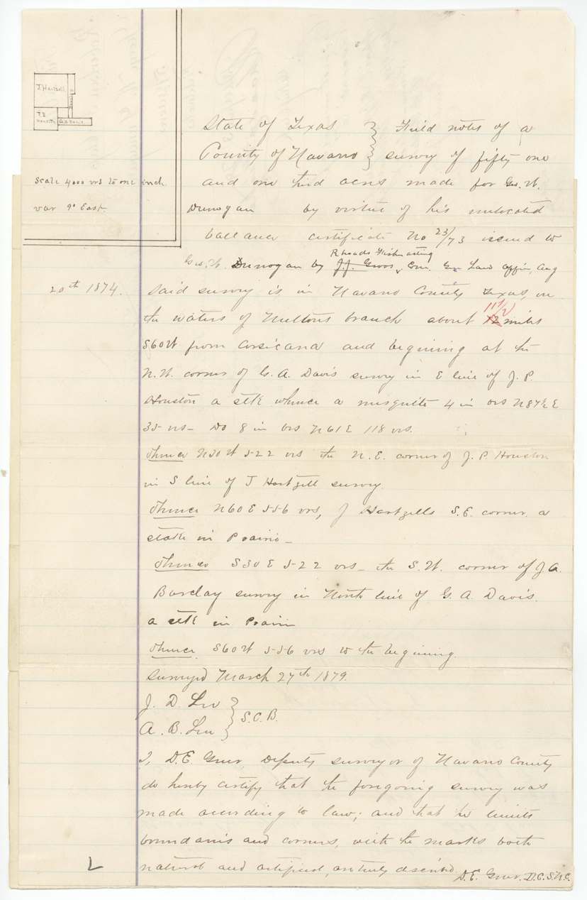
27 Mar 1879, D. E. Greer, deputy surveyor, Navarro County.
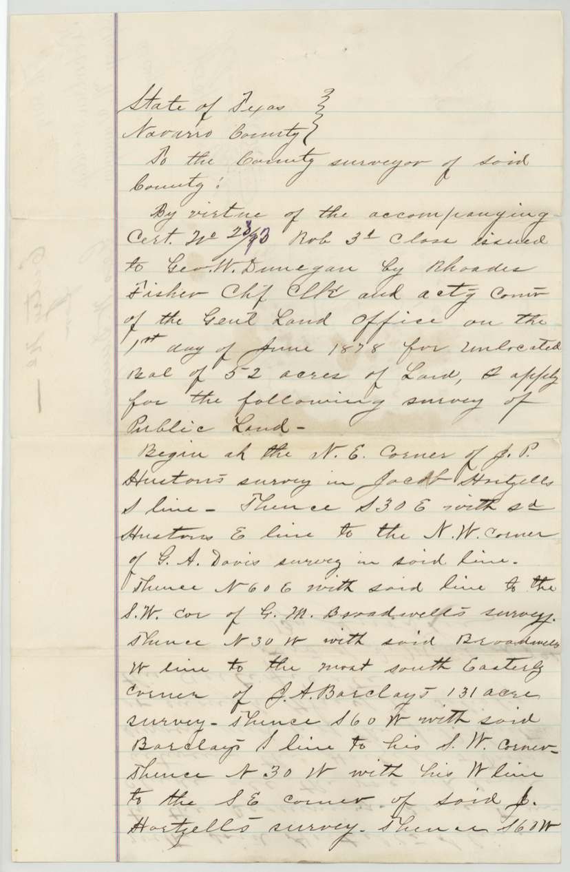
Navarro County, on the waters of Mulloy's(?) Branch, about 11 1/2 miles S 60 W from Corsicana; begins at the NW corner of G. A. Davis's survey in the E line of J. P. Houston
Chain carriers: J. D. Lee, A. B. Lee.
Book C, page 206, 1879-03-29 (Navarro County surveyor's records)
The patent
25 Jul 1884, No. 568(?), Vol. 45(?), to J. M. Eliot, assignee.
Also in the file
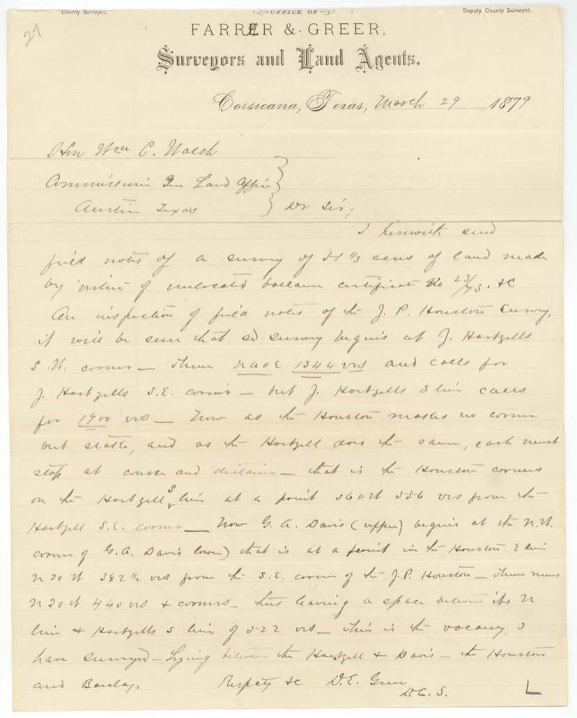
- This small tract is a leftover vacancy squeezed between older surveys (Houston, Hartzell, Davis, Barclay); the surveyor explained it arose because the old corners were only stakes, so lines had to stop at measured distance.
- The grant was made on the last 52 acres of a certificate that had already produced at least five other patented surveys.
- The patentee is J. M. Eliot as assignee, yet the 1878 application was made by 'the Heirs of J. M. Eliot', implying Eliot was dead before the patent issued in his name.
- J. M. Eliot was the deputy and county surveyor who surveyed the adjoining G. A. Davis tract in 1857 (Abstract 203).
Timeline
- 20 Aug 1874Unlocated balance certificate 20/90 issued to George W. Dunegan by J. J. Groos
- 1 Jun 1878Balance certificate 23/73 for 52 acres issued by Rhoads Fisher
- 2 Jul 1878Designation by heirs of J. M. Eliot filed with Navarro County clerk
- 26 Mar 1879Designation recorded, File Book C p. 1
- 27 Mar 1879D. E. Greer surveys 51 1/3 acres
- 29 Mar 1879Field notes recorded Book C p. 206; Farrar & Greer letter to GLO
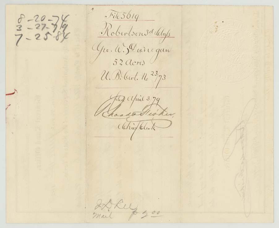
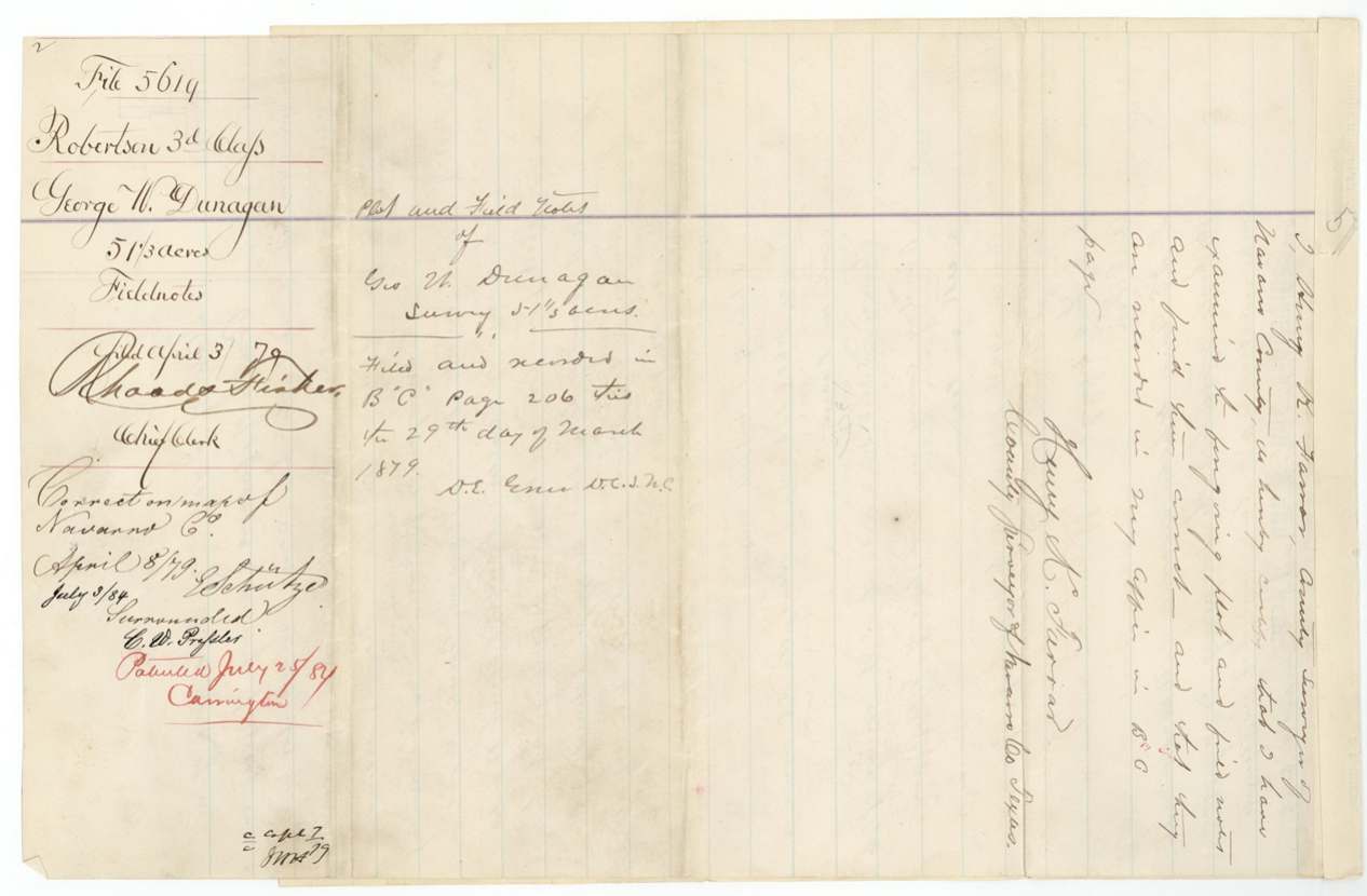
- 3 Apr 1879Filed in GLO
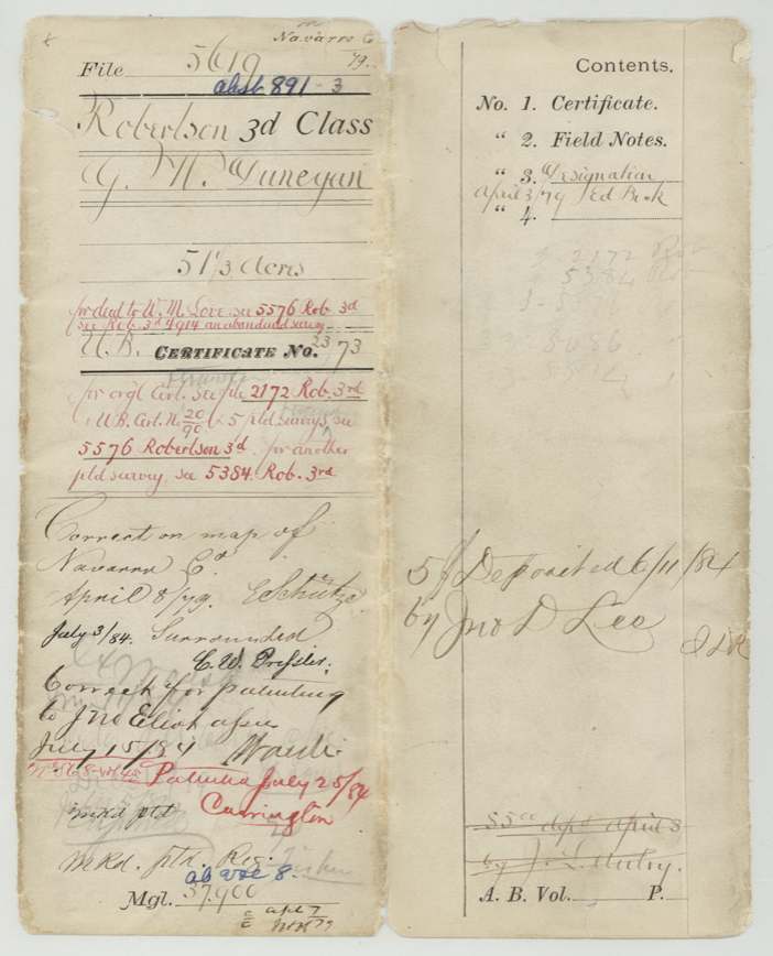
- 8 Apr 1879Checked correct on Navarro map, E. Schutze
- 3 Jul 1884Noted 'Surrounded' by C. W. Pressler
- 25 Jul 1884Patented to J. M. Eliot, assignee
The papers in the file
Every page of the Land Office file, in the order the Land Office keeps them (9 pages). Tap a page to see it larger.
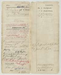 File jacketFile jacket for the 52-acre unlocated balance certificate of George W. Dunegan, listing the certificate, field notes and designation.General Land Office, file 5619, page 1 · in the scan
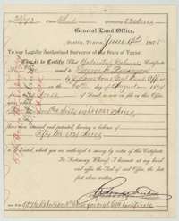 CertificateLand Office certificate No. 23/73, 1 June 1878, for an unlocated balance of 52 acres due to George W. Dunegan.General Land Office, file 5619, page 2 · in the scan
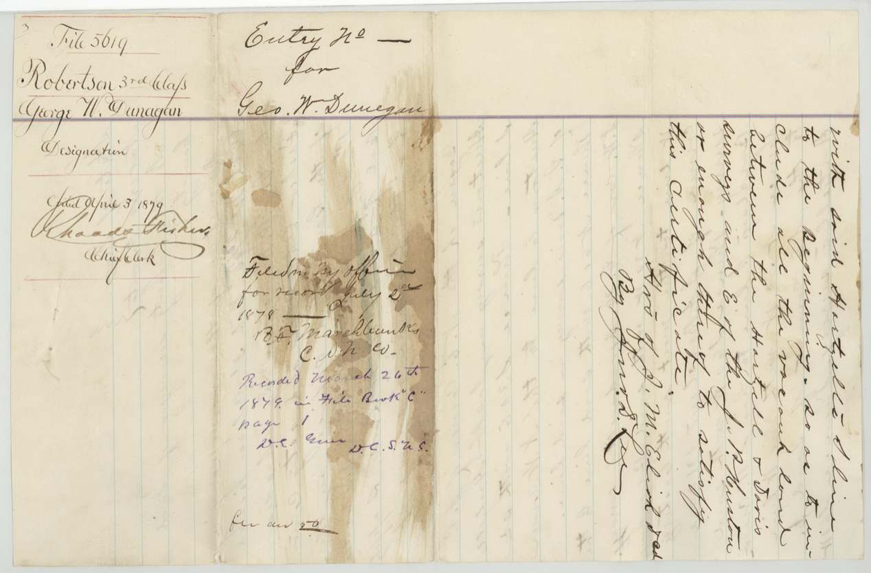
 WrapperBack of the certificate, with the Land Office filing note of 3 April 1879.General Land Office, file 5619, page 3 · in the scan
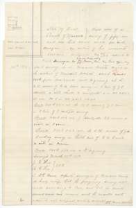 Field notesField notes with a plat for 51 1/3 acres in Navarro County, surveyed for George W. Dunegan by deputy surveyor D. E. Greer, 27 March 1879.General Land Office, file 5619, page 4 · in the scan
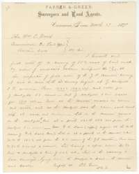 LetterLetter from surveyors Farrar and Greer, Corsicana, 29 March 1879, to the Land Commissioner explaining the vacant strip between older surveys.General Land Office, file 5619, page 5 · in the scan
 Other papersBlank sheet of the surveyors' letter, addressed to the Land Commissioner at Austin.General Land Office, file 5619, page 6 · in the scan
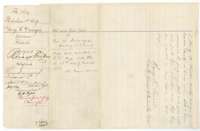 WrapperFiling wrapper for the Dunegan field notes, filed 3 April 1879 and marked patented in July 1884.General Land Office, file 5619, page 7 · in the scan
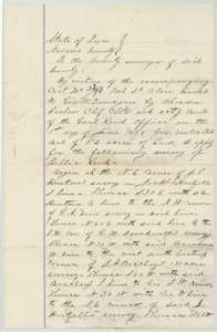 Other papersDesignation for 52 acres of vacant land in Navarro County, naming the neighbouring surveys, made under Dunegan's certificate No. 23/73.General Land Office, file 5619, page 8 · in the scan
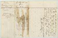 WrapperFiling wrapper for the designation, filed 3 April 1879, with the end of the designation text.General Land Office, file 5619, page 9 · in the scan
Scans courtesy of the Texas General Land Office, Austin, from its Land Grant Database.
Neighbouring surveys
Sources
- Texas General Land Office, Land Grant Database: Navarro County, Abstract 891
- The Land Office file, scanned (PDF, at the General Land Office)
- 1924 map: courtesy of the Texas General Land Office, Austin, Map 73249, used under licence. Topo: U.S. Geological Survey, The National Map. Aerial photographs: U.S. Department of Agriculture, National Agriculture Imagery Program, 2012, 2018 and 2022. Survey outlines: Railroad Commission of Texas, Original Texas Land Survey. Grant records and files: Texas General Land Office.