Blackland TX · ← All the original surveys
P. W. Fuller Survey, Abstract 287
- Granted to
- P. W. Fuller
- Kind of grant
- Headright, third classLand for later settlers, including the colonists of Mercer’s Colony.
- Land Office file
- Robertson 3rd class, file 5206
- Certificate
- No. 13/56
- Acres
- 320
- Patented to
- R. Waterhouse
- Patent
- 04 Nov 1868 · No. 352, Vol. 37
Tap a survey to open its page.
What the file shows
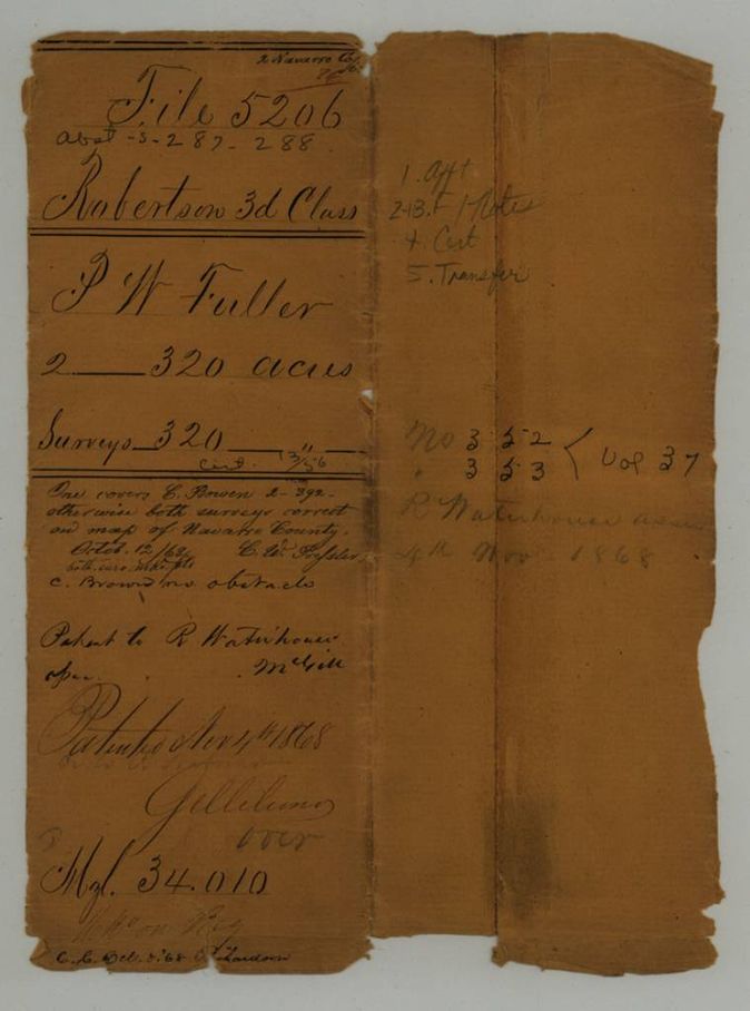
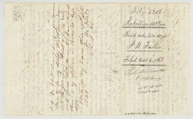
P. W. Fuller received a 640-acre headright certificate from the General Land Office in February 1860 under a special act, and sold it that July to Richard Waterhouse of San Augustine County for $300. In 1868 county surveyor J. M. Eliot located it as two 320-acre squares in Navarro County, one on the head of Little Briar creek west of Corsicana, one on Richland creek south-east of town. Both were patented to Waterhouse on 4 November 1868.
The certificate
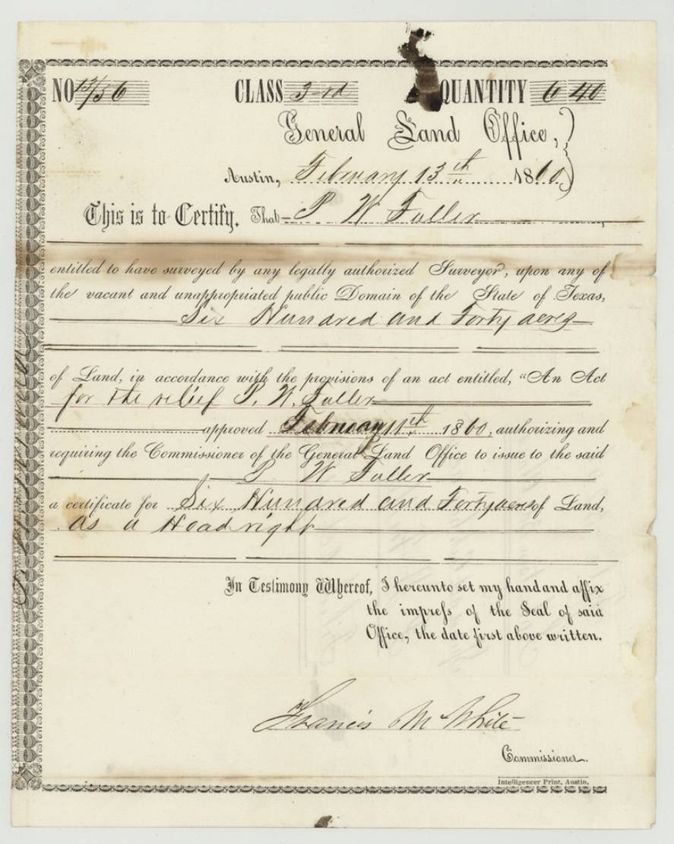
headright 3rd class, special act certificate, No. 13/56 (written 13/56; one survey copy reads 13/54(?)), 640 (two 320-acre halves located in this file), General Land Office, Francis M. White, Commissioner, Austin, 13 Feb 1860.
Issued under 'An Act for the relief of P. W. Fuller', approved February 11(?) 1860, requiring the Commissioner to issue Fuller a headright certificate for 640 acres.
Changes of hand
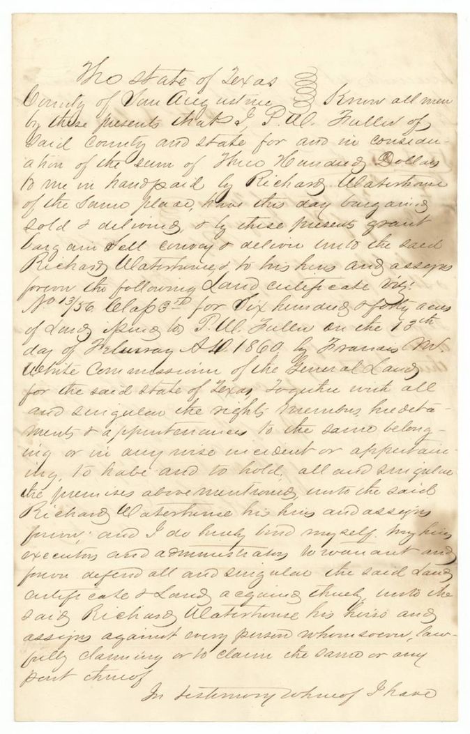
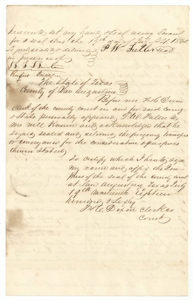
- 19 Jul 1860P. W. Fuller, of San Augustine County → Richard Waterhouse, of the same place, $300, San Augustine County, Texas. Sells land certificate No. 13/56, Class 3rd, for 640 acres; filed GLO 5 Oct 1868
The survey
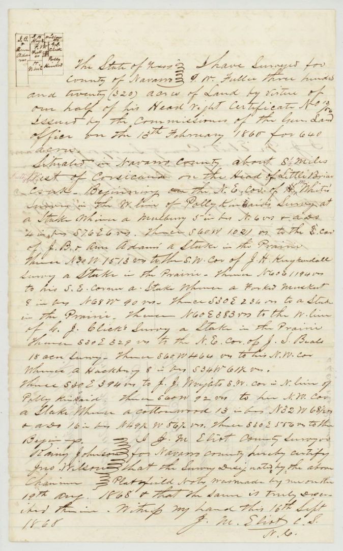
1868-09-16 (survey said made 'on the 19th Aug 1868'), J. M. Eliot, County Surveyor of Navarro County.
Navarro County, about 8 1/2 miles West of Corsicana on the head of Little Briar creek
Chain carriers: Henry Johnson, Jno. Wilson.
Book B, page 478(?) (Eliot's recording certificate on the back, dated 29(?) Sept 1868)
The survey
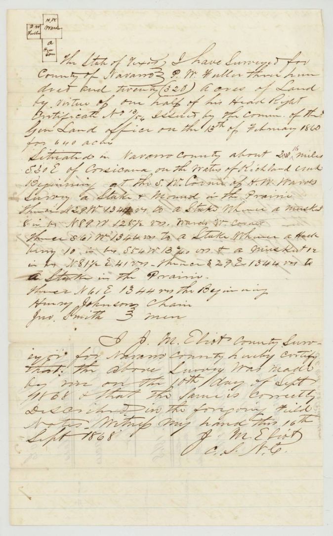
1868-09-16 (survey said made 'on the 10th day of Sept 1868'), J. M. Eliot, County Surveyor of Navarro County.
Navarro County, about 2 1/16(?) miles S 30 E of Corsicana on the waters of Richland creek
Chain carriers: Henry Johnson, Jno. Smith.
Book B, page 477 (Eliot's recording certificate on the back, dated 25(?) Sept 1868)
The patent
4 Nov 1868, Nos. 352 (abst 287) and 353 (abst 288), Vol. 37, to R. Waterhouse, assignee, delivered to not stated.
Also in the file
- Fuller's headright certificate was issued by special act in 1860, sold within five months in San Augustine County, but not located in Navarro County until 1868.
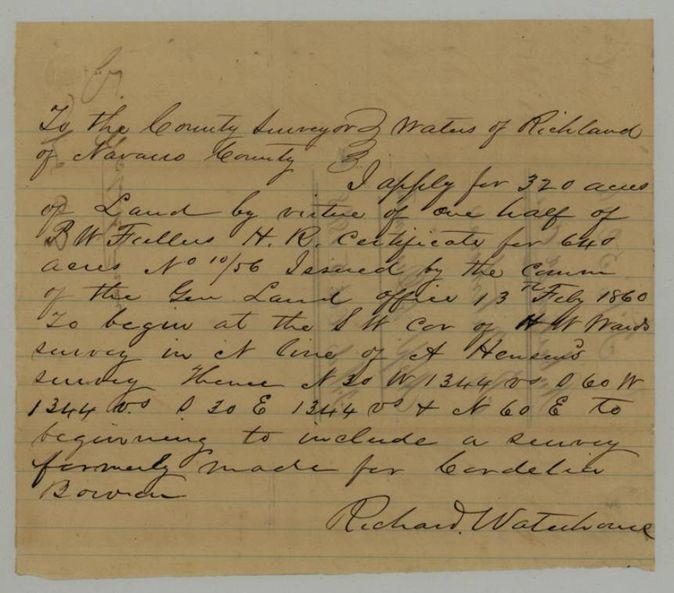
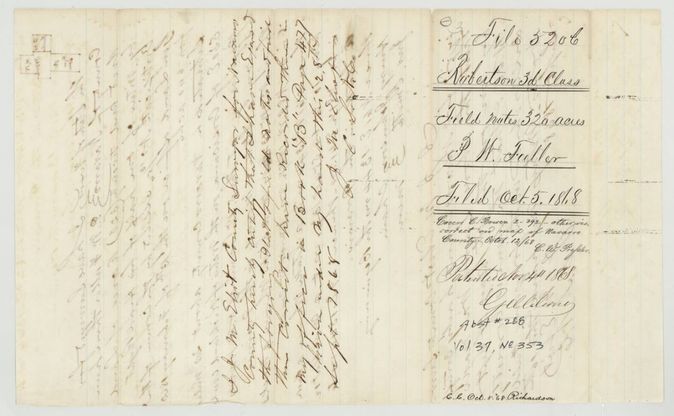
- Jacket and map checker: 'Once covers E. Bowen 2-392 - otherwise both surveys correct on map of Navarro County Oct 12/68'. The covering survey is the Richland creek one (abst 288, wrapper p7), which Waterhouse's application deliberately laid over an earlier survey for Candelier(?) Bowen.
- The two surveys were made 19 Aug and 10 Sept 1868 and both certified 16 Sept 1868; Eliot recorded them later in September (Book B pp. 477-478).
- Certificate number is 13/56 on the certificate and most papers but looks like 13/54 on the second field notes.
- Index says patent 04 Nov 1868, Nos. 352 and 353, Vol 37; agrees with the jacket.
Timeline
- 13 Feb 1860General Land Office issues headright certificate No. 13/56 for 640 acres to P. W. Fuller
- 19 Jul 1860Fuller sells the certificate to Richard Waterhouse for $300 in San Augustine County
- 19 Aug 1868J. M. Eliot surveys the first 320 acres (date as written in the notes)
- 10 Sep 1868Second 320 acres surveyed
- 16 Sep 1868Eliot certifies both surveys
- 5 Oct 1868Papers filed in the General Land Office
- 12 Oct 1868Surveys checked correct on the Navarro County map
- 4 Nov 1868Patents 352 and 353, Vol. 37, to R. Waterhouse, assignee
The papers in the file
Every page of the Land Office file, in the order the Land Office keeps them (12 pages). Tap a page to see it larger.
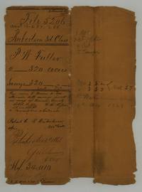 File jacketFile jacket 5206, Robertson 3d Class, P. W. Fuller 2 x 320 acres, abst 287-288, patented to R. Waterhouse assignee 4 Nov 1868.General Land Office, file 5206, page 1 · in the scan
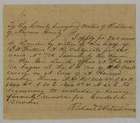 Other papersRichard Waterhouse's application to the Navarro County surveyor for 320 acres on Richland creek on half of P. W. Fuller's certificate, to include a survey made for Candelier(?) Bowen.General Land Office, file 5206, page 2 · in the scan
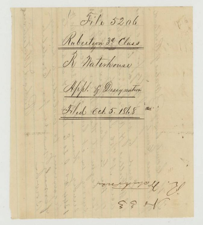
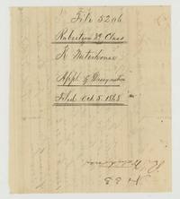 WrapperWrapper for R. Waterhouse's application and designation, filed 5 Oct 1868.General Land Office, file 5206, page 3 · in the scan
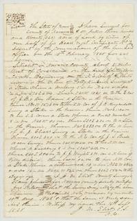 Field notesPlat and field notes for 320 acres for P. W. Fuller on the head of Little Briar creek, 8 1/2 miles west of Corsicana (abst 287), surveyed by J. M. Eliot.General Land Office, file 5206, page 4 · in the scan
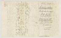 WrapperWrapper and surveyor's certificate for the first 320-acre field notes, Abst 287, filed 5 Oct 1868, patented 4 Nov 1868, No. 352 Vol 37.General Land Office, file 5206, page 5 · in the scan
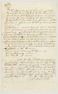 Field notesPlat and field notes for the second 320 acres for P. W. Fuller on Richland creek (abst 288), chain men Henry Johnson and Jno. Smith, surveyor J. M. Eliot.General Land Office, file 5206, page 6 · in the scan
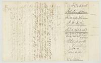 WrapperWrapper and recording certificate for the Richland creek 320 acres, Abst 288, map check 'Covers E. Bowen 2-392', patent No. 353 Vol 37.General Land Office, file 5206, page 7 · in the scan
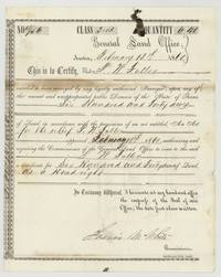 CertificateGeneral Land Office headright certificate No. 13/56 for 640 acres to P. W. Fuller, signed Francis M. White, Commissioner.General Land Office, file 5206, page 8 · in the scan
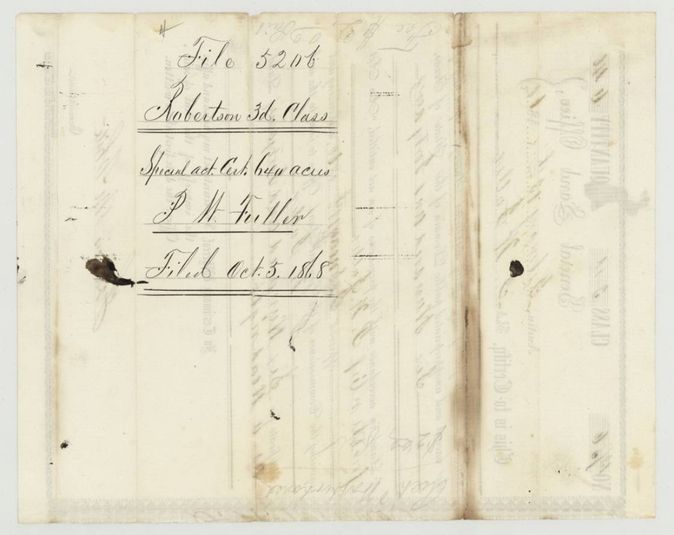
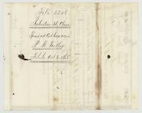 Back of the certificateBack of the certificate, endorsed Robertson 3d Class, special act certificate 640 acres, P. W. Fuller, filed Oct 5 1868.General Land Office, file 5206, page 9 · in the scan
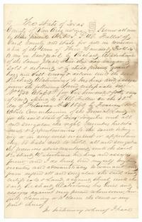 TransferDeed in which P. W. Fuller of San Augustine County sells land certificate 13/56 for 640 acres to Richard Waterhouse for $300.General Land Office, file 5206, page 10 · in the scan
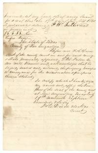 TransferSignature page of the Fuller to Waterhouse transfer, 19 July 1860, with the county clerk's acknowledgment at San Augustine.General Land Office, file 5206, page 11 · in the scan
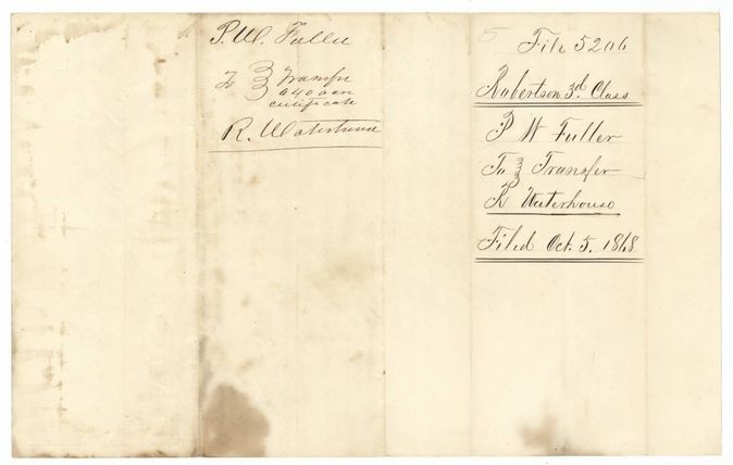
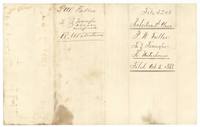 WrapperWrapper for the Fuller to Waterhouse transfer of the 640-acre certificate, filed Oct 5 1868.General Land Office, file 5206, page 12 · in the scan
Scans courtesy of the Texas General Land Office, Austin, from its Land Grant Database.
Neighbouring surveys
Sources
- Texas General Land Office, Land Grant Database: Navarro County, Abstract 287
- The Land Office file, scanned (PDF, at the General Land Office)
- 1924 map: courtesy of the Texas General Land Office, Austin, Map 73249, used under licence. Topo: U.S. Geological Survey, The National Map. Aerial photographs: U.S. Department of Agriculture, National Agriculture Imagery Program, 2012, 2018 and 2022. Survey outlines: Railroad Commission of Texas, Original Texas Land Survey. Grant records and files: Texas General Land Office.