Blackland TX · ← All the original surveys
Polly Kincaid Survey, Abstract 464
- Granted to
- Polly Kincaid
- Kind of grant
- Headright, third classLand for later settlers, including the colonists of Mercer’s Colony.
- Land Office file
- Robertson 3rd class, file 3299
- Certificate
- No. 49
- Acres
- 640
- Patented to
- Heirs of Polly Kincaid
- Patent
- 15 Feb 1858 · No. 348, Vol. 17
Tap a survey to open its page.
What the file shows
The Navarro County District Court decreed on 7 June 1855 that the eight heirs of Polly Kincaid were entitled to a 640-acre Mercer's Colony certificate. J. M. Eliot surveyed it on Briar Creek in February 1857, and the patent, No. 348, Vol. 17, issued to the heirs on 15 February 1858.
The certificate
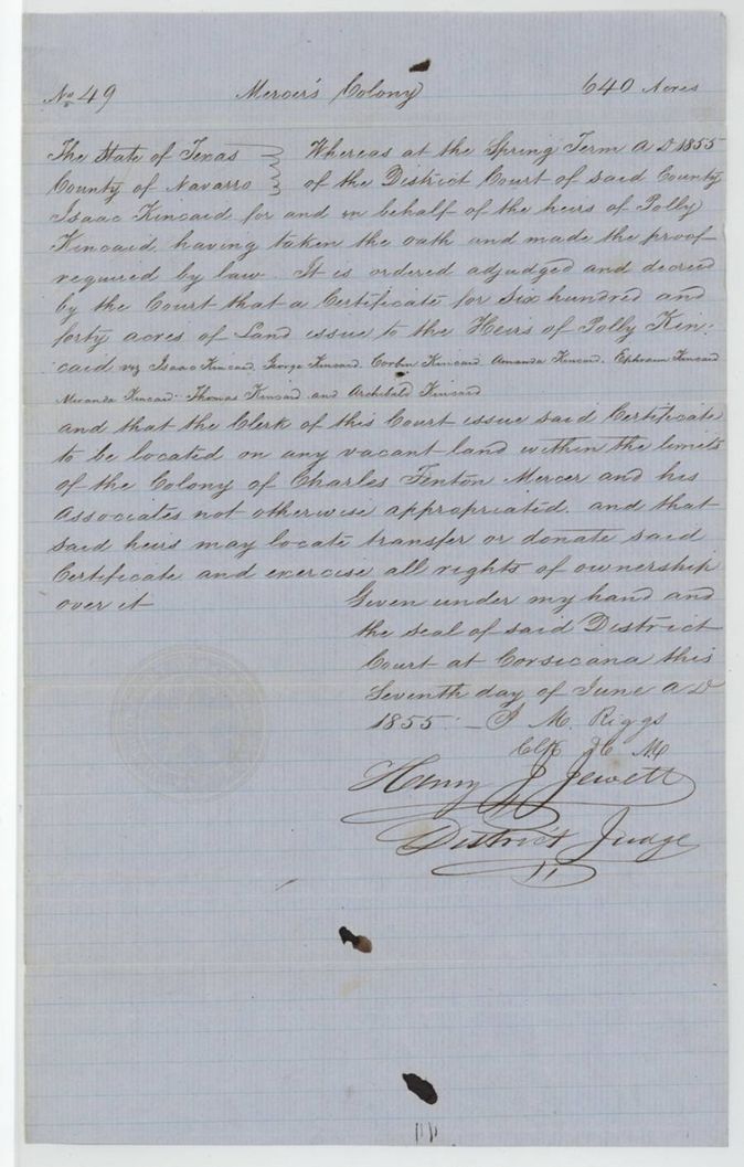
colony certificate, Mercer's Colony, district court decree to heirs (3rd class), No. 49, 640 acres, District Court of Navarro County, Henry J. Jewett(?), District Judge; J. M. Riggs, Clerk, Corsicana, Navarro County, 7 Jun 1855.
At the Spring Term 1855 Isaac Kincaid, for the heirs of Polly Kincaid, took the oath and made the proof required by law; the court decreed a certificate for 640 acres to the heirs: Isaac, George, Corbin, Amanda, Ephraim, Miranda, Thomas and Archibald Kincaid
The survey
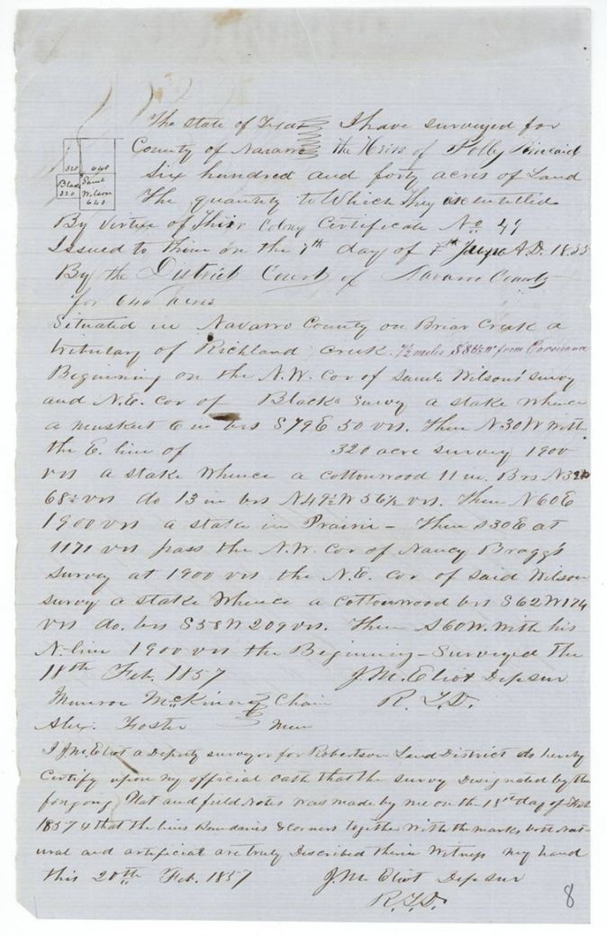
1857-02-18 (certified 1857-02-20), J. M. Eliot, Deputy Surveyor, Robertson Land District.
Navarro County on Briar Creek, a tributary of Richland Creek; red-ink addition: 7 1/2 miles S 86 1/2 W from Corsicana
Chain carriers: Monroe McKinney, Alex. Foster.
Book L, page 3(?)5
The patent
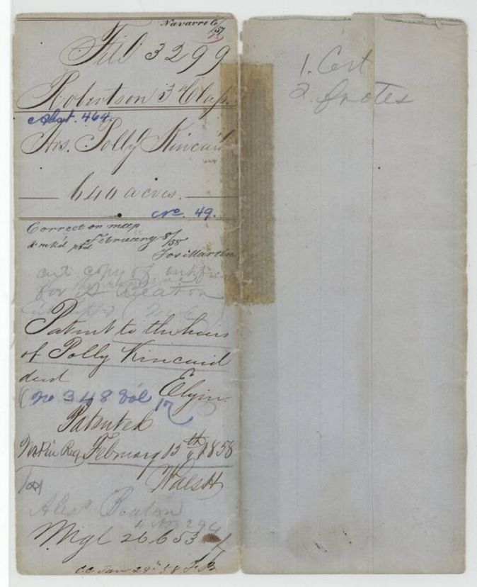
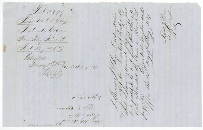
15 Feb 1858, No. 348, Vol. 17, to the heirs of Polly Kincaid, deceased, delivered to not stated; jacket notes 'Alex. Beaton'.
Also in the file
- The grantee Polly Kincaid was already dead; the certificate and patent went to her eight named heirs, even though the index lists the original grantee as 'Kincaid, Polly (deceased)'.
- Heirs' certificate was proved through Isaac Kincaid in the district court rather than by the colonist himself, 7 June 1855.
- The survey notes call the certificate issued 'the 7th day of ... 1855' while the clerk's date is 7 June; the written month is crowded between lines.
- Alex. Beaton, who signed the entry and appears on the jacket, was likely the heirs' locating agent.
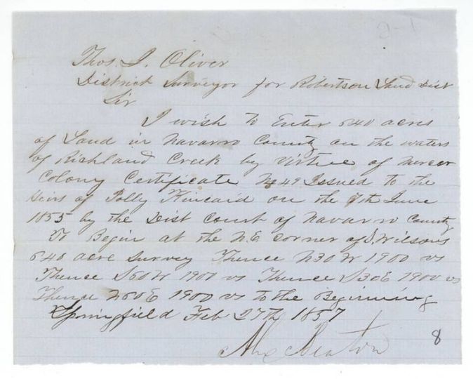
- Beaton's written entry (27 Feb 1857) is dated nine days after Eliot's survey (18 Feb 1857), and asks for a beginning at Wilson's NE corner, whereas the survey begins at Wilson's NW corner.
Timeline
- 7 Jun 1855Navarro County District Court certificate No. 49 for 640 acres issued to the heirs of Polly Kincaid
- 18 Feb 1857J. M. Eliot surveys 640 acres on Briar Creek
- 27 Feb 1857Alex. Beaton enters the land by letter to the District Surveyor at Springfield
- 13 May 1857Thos. J. Oliver examines and records the field notes
- 21 Jul 1857Papers filed in the General Land Office
- 8 Feb 1858Checked correct on the map
- 15 Feb 1858Patent No. 348, Vol. 17 to the heirs of Polly Kincaid
The papers in the file
Every page of the Land Office file, in the order the Land Office keeps them (6 pages). Tap a page to see it larger.
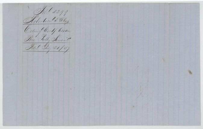
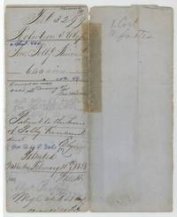 File jacketFile jacket 3299 for the heirs of Polly Kincaid's 640 acres, abstract 464, patented 15 February 1858.General Land Office, file 3299, page 1 · in the scan
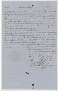 CertificateNavarro District Court decree and certificate No. 49 for 640 acres to the heirs of Polly Kincaid, naming eight heirs, 7 June 1855.General Land Office, file 3299, page 2 · in the scan
 WrapperWrapper for the colony certificate of the heirs of Polly Kincaid, filed 21 July 1857.General Land Office, file 3299, page 3 · in the scan
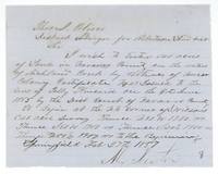 LetterAlex. Beaton asks Thos. J. Oliver to enter 640 acres on Richland Creek by certificate No. 49, beginning at S. Wilson's NE corner.General Land Office, file 3299, page 4 · in the scan
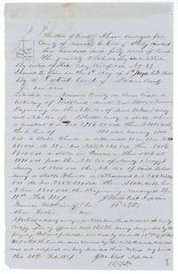 Field notesJ. M. Eliot's field notes and plat of 640 acres on Briar Creek for the heirs of Polly Kincaid, 18 February 1857.General Land Office, file 3299, page 5 · in the scan
 Surveyor's certificateThos. J. Oliver examines the Kincaid field notes and records them in Book L, with the patent note of 15 February 1858.General Land Office, file 3299, page 6 · in the scan
Scans courtesy of the Texas General Land Office, Austin, from its Land Grant Database.
Neighbouring surveys
Sources
- Texas General Land Office, Land Grant Database: Navarro County, Abstract 464
- The Land Office file, scanned (PDF, at the General Land Office)
- 1924 map: courtesy of the Texas General Land Office, Austin, Map 73249, used under licence. Topo: U.S. Geological Survey, The National Map. Aerial photographs: U.S. Department of Agriculture, National Agriculture Imagery Program, 2012, 2018 and 2022. Survey outlines: Railroad Commission of Texas, Original Texas Land Survey. Grant records and files: Texas General Land Office.