Blackland TX · ← All the original surveys
George A. Davis Survey, Abstract 246
- Granted to
- George A. Davis
- Kind of grant
- Bounty warrantLand paid for service in the army of the Republic.
- Land Office file
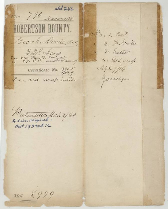
- Robertson Bounty, file 790
- Certificate
- No. 3948/4049
- Acres
- 228.87
- Patented to
- Heirs of George A. Davis
- Patent
- 03 Mar 1860 · No. 133, Vol. 12
Tap a survey to open its page.
What the file shows
The heirs of George A. Davis were entitled to the 228.87-acre unlocated balance of a 1920-acre bounty warrant, certified at the Land Office in April 1855. Deputy surveyor J. M. Eliot located it on 1 September 1857 about 6 miles west of Corsicana on Richland Creek. Letters of 1859 and 1860 show Alex Beaton of Corsicana and Joseph Spence of Austin working for Sam Davis of Tennessee, and the patent issued on 3 March 1860.
The certificate
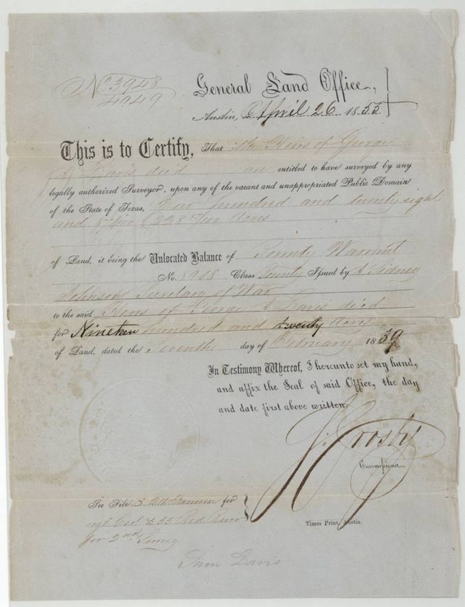
unlocated balance of a bounty warrant (to heirs), No. 3948/4049, 228.87 (the balance of a 1920-acre warrant), General Land Office, Austin; signed S. Crosby, Commissioner, Austin, 26 Apr 1855.
The heirs of George A. Davis, deceased, are entitled to have surveyed 228 and 87/100 acres, the unlocated balance of Bounty Warrant No. 5018(?) issued by A. Sidney Johnson(?), Secretary of War, for 1920 acres, dated 7 Feb 1839(?)
The survey
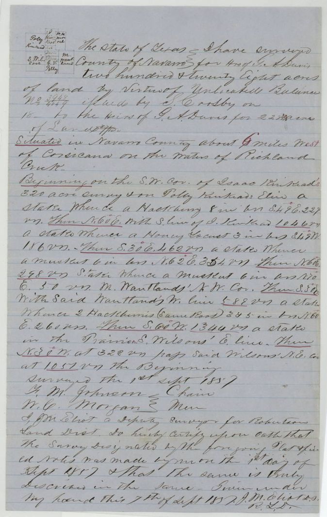
1857-09-01 (certified 1857-09-07), J. M. Eliot, Deputy Surveyor, Robertson Land District.
Navarro County about 6 miles west of Corsicana on the waters of Richland Creek
Chain carriers: F. M. Johnson, W. C. Morgan.
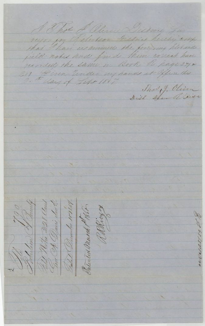
Book R(?), pages 279(?) and 281
The patent
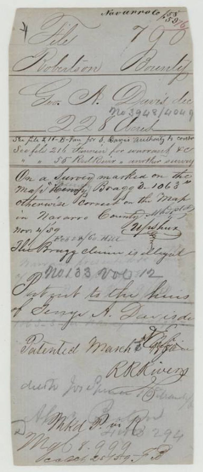
3 Mar 1860, No. 133, Vol. 12, to the Heirs of George A. Davis, deceased, delivered to Jos. Spence (patent jacket: 'deld to Jos Spence', date faint), who says he mailed it to Sam Davis of Murfreesboro, Tennessee.
Also in the file
- Index says patent 03 Mar 1860, No. 133, Vol. 12, 228.87 acres to the heirs of George A. Davis; the jacket agrees on date and number.
- The patent jacket notes that the survey lies on a tract marked on the map 'Henry Bragg B. 1063' and says 'The Bragg claim is illegal'.
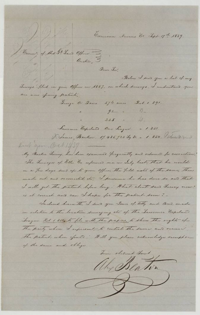
- The 1859 Beaton letter lists three Davis surveys of 576, 92 and 228 acres filed in 1857; this file holds only the 228-acre one.
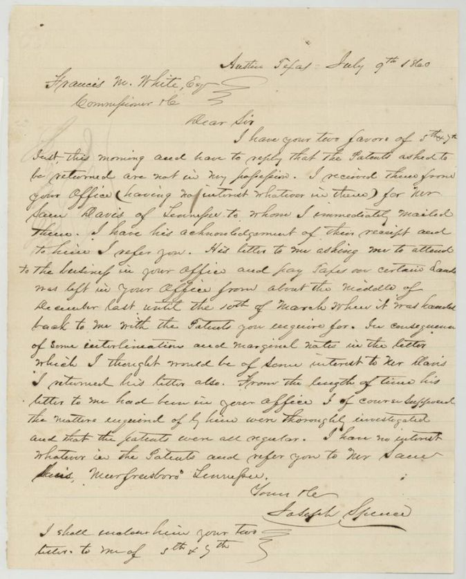
- Spence's 1860 letter says the patents were mailed to Sam Davis of Murfreesboro, Tennessee, for whom he had no interest, and speaks of 'interlineations and marginal notes' in a letter left in the Land Office from mid-December until 10 March, suggesting a dispute over the patents' handling.
- The warrant is described as for 1920 acres, issued by A. Sidney Johnson [Albert Sidney Johnston](?) as Secretary of War, 7 Feb 1839(?); the original warrant is in Fannin Bounty file 216(?), and a second survey is in Red River file 55.
Timeline
- 7 Feb 1839Bounty warrant for 1920 acres issued to George A. Davis (as read)
- 26 Apr 1855Land Office certifies the unlocated balance of 228.87 acres to Davis's heirs
- 1 Sep 1857J. M. Eliot surveys 228 acres on Richland Creek
- 9 Sep 1857District surveyor Oliver examines and records the field notes
- 10 Dec 1857Certificate and field notes filed
- 17 Sep 1859Alex Beaton writes to the Commissioner about the Davis surveys and patents
- 4 Nov 1859Map check notes the Bragg claim as illegal
- 3 Mar 1860Patent No. 133 Vol. 12 to the heirs of George A. Davis
- 9 Jul 1860Joseph Spence writes that the patents went to Sam Davis of Tennessee
The papers in the file
Every page of the Land Office file, in the order the Land Office keeps them (10 pages). Tap a page to see it larger.
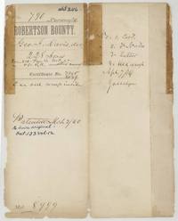 File jacketJacket and contents sheet for file 790, George A. Davis dec'd, 228 acres, with the patent entry of March 1860.General Land Office, file 790, page 1 · in the scan
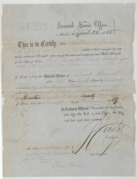 CertificateLand Office certificate that the heirs of George A. Davis may survey 228.87 acres, the unlocated balance of a bounty warrant.General Land Office, file 790, page 2 · in the scan
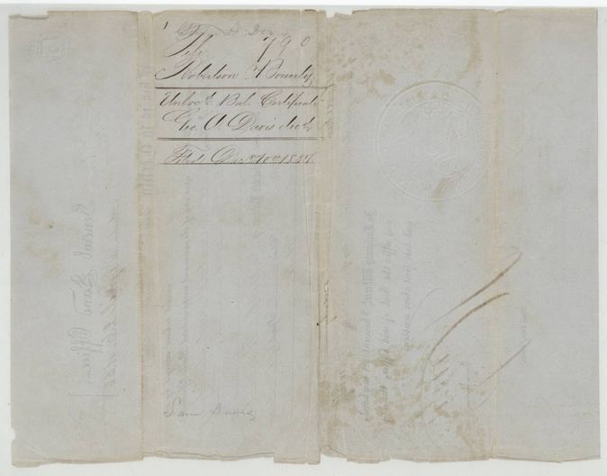
 Back of the certificateBack of the certificate, endorsed Robertson Bounty unlocated balance certificate for Geo. A. Davis and filed 10 December 1857.General Land Office, file 790, page 3 · in the scan
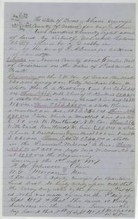 Field notesJ. M. Eliot's field notes and sketch for 228 acres on Richland Creek six miles west of Corsicana, surveyed 1 September 1857.General Land Office, file 790, page 4 · in the scan
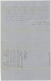 Surveyor's certificateDistrict surveyor Thos. J. Oliver examines and records the field notes, 9 September 1857, patented March 1860.General Land Office, file 790, page 5 · in the scan
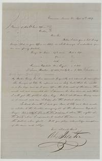 LetterAlex Beaton writes the Commissioner from Corsicana listing the Davis, Copeland and Barker surveys and asking about their patents.General Land Office, file 790, page 6 · in the scan
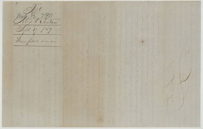
 WrapperBack of the Beaton letter, filed 17 September 1859 as 'wants patents'.General Land Office, file 790, page 7 · in the scan
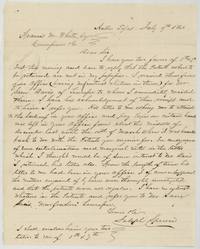 LetterJoseph Spence tells Commissioner Francis M. White that the Davis patents were mailed to Sam Davis of Murfreesboro, Tennessee.General Land Office, file 790, page 8 · in the scan
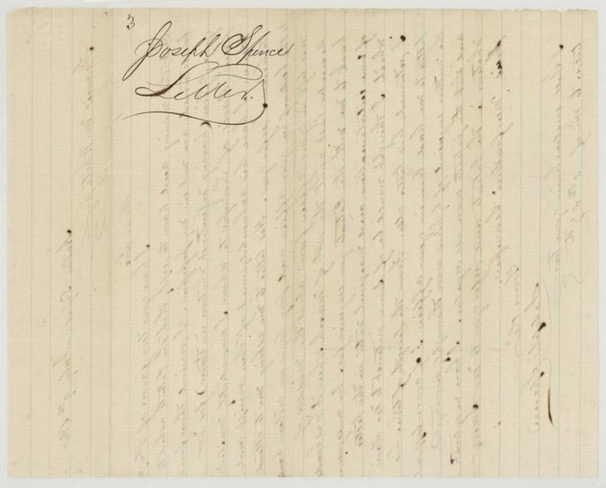
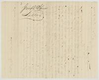 WrapperBack of the Spence letter, endorsed Joseph Spence, letter.General Land Office, file 790, page 9 · in the scan
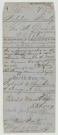 File jacketPatent jacket noting the survey sits on the illegal Henry Bragg claim and patent No. 133 Vol. 12 to the heirs of George A. Davis, 3 March 1860, delivered to Jos. Spence.General Land Office, file 790, page 10 · in the scan
Scans courtesy of the Texas General Land Office, Austin, from its Land Grant Database.
Neighbouring surveys
Sources
- Texas General Land Office, Land Grant Database: Navarro County, Abstract 246
- The Land Office file, scanned (PDF, at the General Land Office)
- 1924 map: courtesy of the Texas General Land Office, Austin, Map 73249, used under licence. Topo: U.S. Geological Survey, The National Map. Aerial photographs: U.S. Department of Agriculture, National Agriculture Imagery Program, 2012, 2018 and 2022. Survey outlines: Railroad Commission of Texas, Original Texas Land Survey. Grant records and files: Texas General Land Office.