Blackland TX · ← All the original surveys
John Sadler Survey, Abstract 785
- Granted to
- John Sadler
- Kind of grant
- Bounty warrantLand paid for service in the army of the Republic.
- Land Office file
- Robertson Bounty, file 1123
- Certificate
- No. 465
- Acres
- 320
- Patented to
- John Sadler
- Patent
- 08 May 1873 · No. 311, Vol. 14
Tap a survey to open its page.
What the file shows
John Sadler's 320-acre Robertson bounty warrant 465 was issued at Austin on 4 October 1848. It passed through William Lindley of Montgomery and Grimes counties to the Austin locator John H. Conner in 1870, who located it in Navarro County in 1871-72 on the head of Bois d'Arc Branch of Richland Creek, covering an older George J. Click survey. County Surveyor John W. Irwin certified the survey on 25 May 1872, and the patent issued to Sadler on 8 May 1873.
The certificate
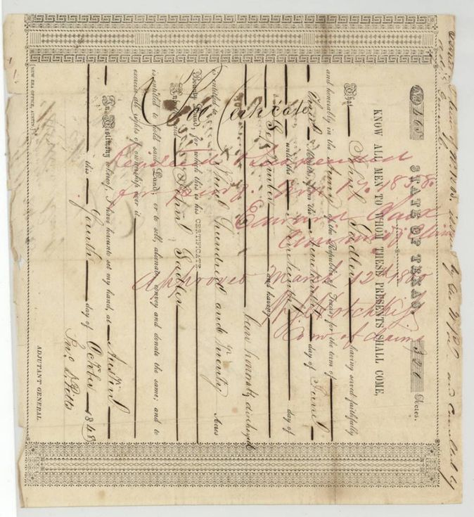
bounty warrant (Republic of Texas army service), No. 465, 320 acres, John D. Pitts, Adjutant General, Austin, 4 Oct 1848.
Printed form certifying that John Sadler served faithfully and honorably in the army of the Republic of Texas for the term of three months, from the nineteenth day of June until the nineteenth day of September (year not filled in), and was honorably discharged; entitled to 320 acres of bounty land
Changes of hand
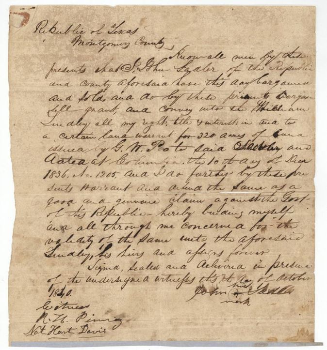
- 7 Oct 1840John Sadler (signs by mark), of Montgomery County, Republic of Texas → William Lindley (Lindly), not stated, Montgomery County, Republic of Texas. Sells all right in 'a certain land warrant for 320 acres' issued by G. W. Poe to Sadler, dated at Columbia 10 Dec 1836, No. 1205; the 1848 bounty certificate 465 was issued in lieu of this Poe warrant No. 1205 (margin note on the certificate), so the deed carries the same right. Filed for record 1858-07-23, recorded 1858-08-06 in Book T, Montgomery County deeds, pp. 68-69; fee $1.00.
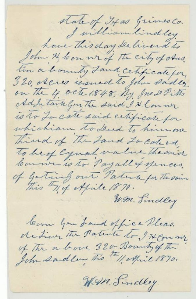
- 11 Apr 1870William Lindley, of Grimes County → John H. Conner (Conner), of Austin, one third of the land located, to be of equal value; Conner to pay all expenses of getting out the patent, Grimes County, Texas. Lindley delivers the 320-acre bounty certificate issued to John Sadler 4 Oct 1848 by Jno. D. Pitts and asks the Commissioner of the General Land Office to deliver the patent to J. H. Conner.
The survey
25 May 1872, John W. Irwin, County Surveyor, Navarro County.
Navarro County; 8 miles N. of W. from Corsicana (a red figure, perhaps '45°'(?), is interlined over 'of'); red-ink addition: on the head of Bois d'Arc(?) Branch of Richland Creek, a tributary of the Trinity
Chain carriers: Jas. E. Patton, Jos. F. Smith.
Book C, page 91
The patent
8 May 1873, No. 311, Vol. 14, to John Sadler, delivered to John H. Conner, Austin, applicant for patent (jacket: 'Applicant for Patent Aug 22/72'; 'Patent rec'd(?) Jno H Conner 20 Jun 1873').
Also in the file
- The 1840 deed sells an 1836 Columbia warrant No. 1205 issued by G. W. Poe; the 1848 bounty certificate 465 carries a margin note that it was issued in lieu of Poe's No. 1205, cancelled by the Adjutant General - so the 1840 sale and the patented certificate are the same right.
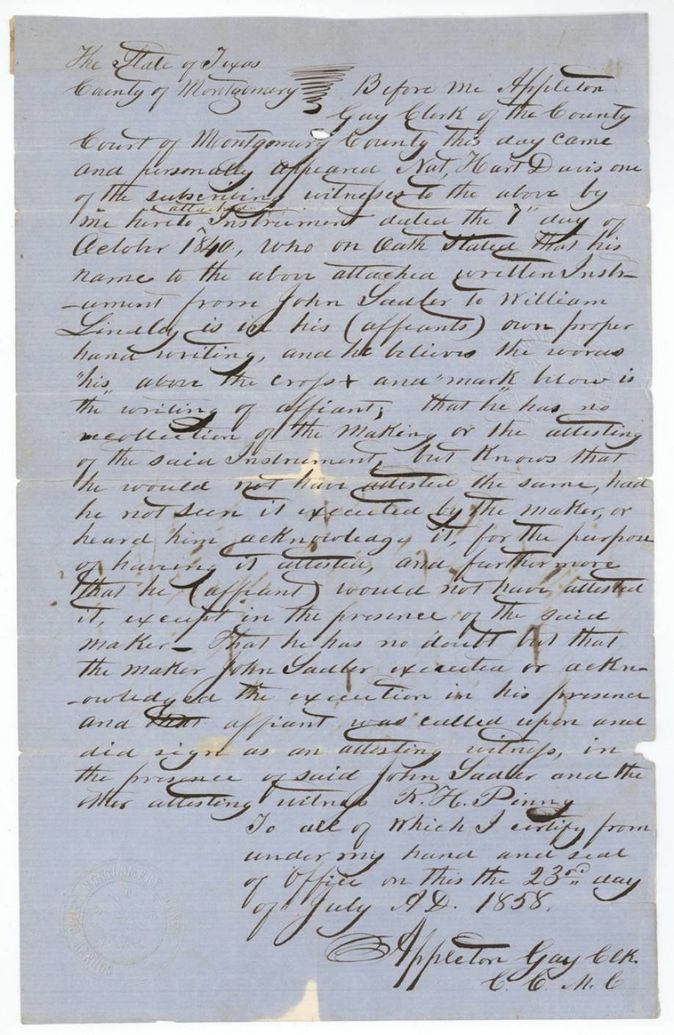
- The 1840 Sadler-to-Lindley deed was only proved and recorded in July-August 1858, 18 years after signing; the witness could not recall the signing but swore to his own handwriting.
- The patent issued to the original grantee John Sadler, although the certificate had passed to William Lindley and then to John H. Conner; the jacket shows Conner as applicant and the patent was to be delivered to him.
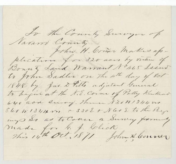
- The survey was made to cover an earlier 320-acre survey in the name of George J. Click (jacket: B-307), which Conner's application says was 'formerly made for G. J. Click'.
- Field-note date 25 May 1872 comes after Conner's application of 14 Oct 1871; the entry was held in the county surveyor's office until the survey was run.
- Index says certificate 465, patent 8 May 1873, No. 311 Vol. 14: matches the file.
Timeline
- 10 Dec 1836G. W. Poe issues a 320-acre land warrant to John Sadler at Columbia (as recited in the 1840 deed)
- 7 Oct 1840Sadler sells his warrant to William Lindley in Montgomery County
- 4 Oct 1848Adjutant General John D. Pitts issues bounty certificate 465 for 320 acres to John Sadler, in lieu of Poe's warrant No. 1205
- 23 Jul 1858Nat Hart Davis swears to the 1840 deed before the Montgomery County clerk; filed for record
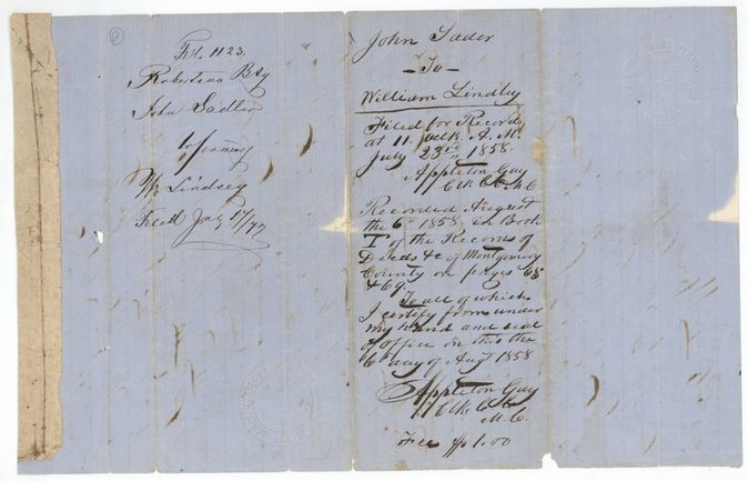
- 6 Aug 1858Deed recorded in Book T, pp. 68-69, Montgomery County
- 12 Mar 1860Certificate approved by the Commissioner of Claims
- 11 Apr 1870Lindley gives the certificate to John H. Conner to locate for one third of the land
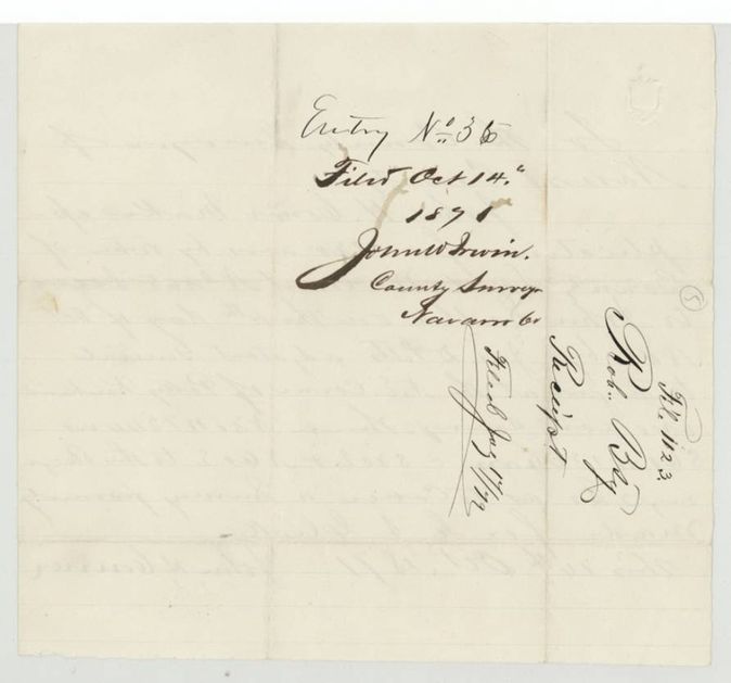
- 14 Oct 1871Conner applies to the Navarro County Surveyor; entry filed
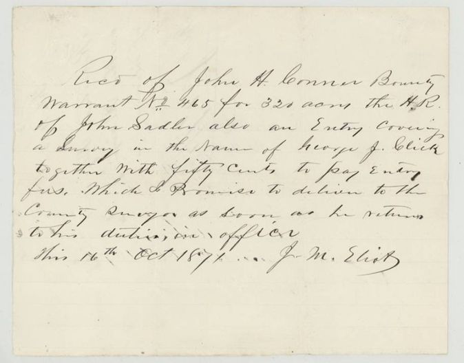
- 16 Oct 1871J. M. Eliot receipts for the warrant and 50 cents entry fee
- 25 May 1872John W. Irwin certifies the survey, recorded Book C p. 91
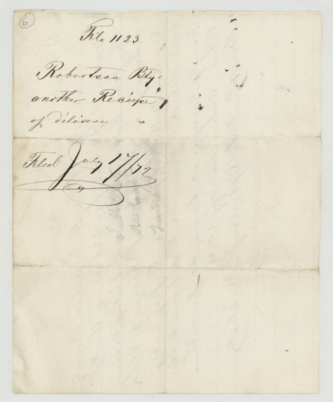
- 17 Jul 1872Papers filed in the General Land Office
- 8 May 1873Patent No. 311 Vol. 14 to John Sadler
- 20 Jun 1873Patent received by John H. Conner (jacket)
The papers in the file
Every page of the Land Office file, in the order the Land Office keeps them (17 pages). Tap a page to see it larger.
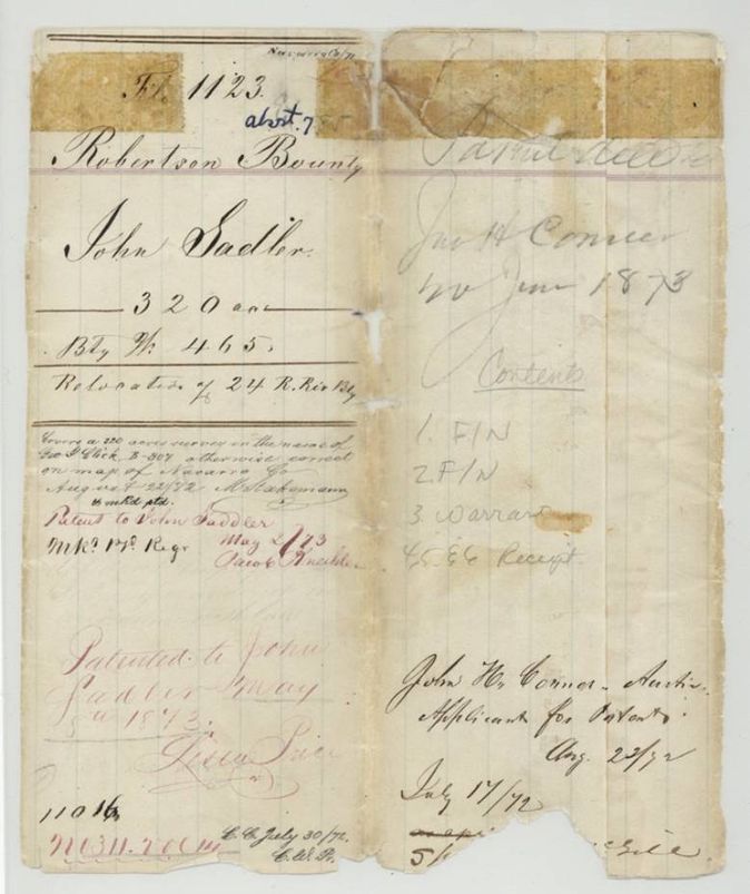
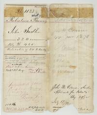 File jacketOpen file jacket for John Sadler's Robertson bounty 320 acres, file 1123, with patent entry of May 1873.General Land Office, file 1123, page 1 · in the scan
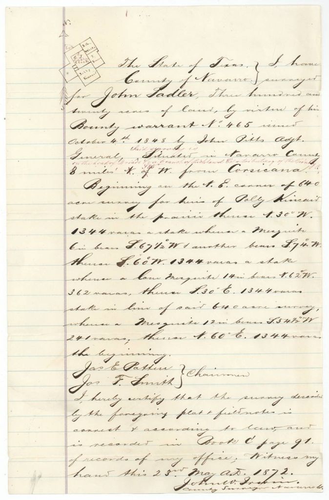
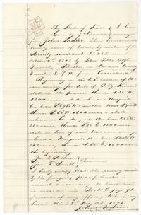 Field notesField notes and small plat for John Sadler's 320 acres on warrant 465, certified by County Surveyor John W. Irwin, 25 May 1872.General Land Office, file 1123, page 2 · in the scan
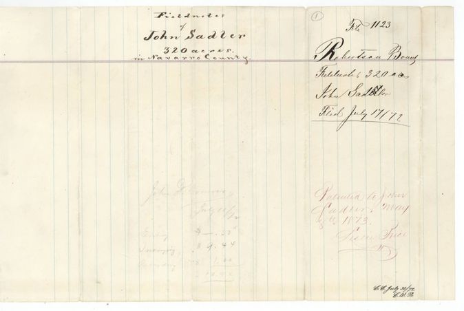
 WrapperWrapper for the Sadler field notes, filed 17 July 1872, with the fees totalling $10.94 and patent note of 8 May 1873.General Land Office, file 1123, page 3 · in the scan
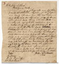 TransferDeed of John Sadler, by his mark, to William Lindley of a 320-acre warrant dated Columbia, 10 December 1836.General Land Office, file 1123, page 4 · in the scan
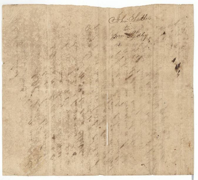
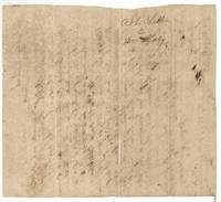 Transfer backStained back of the 1840 deed, endorsed 'John Sadler to Wm. Lindley'.General Land Office, file 1123, page 5 · in the scan
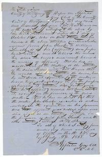 AffidavitMontgomery County clerk Appleton Gay records Nat Hart Davis's oath that he witnessed the 1840 Sadler deed to Lindley.General Land Office, file 1123, page 6 · in the scan
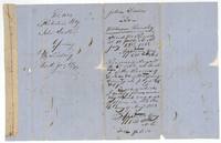 WrapperBack of the affidavit with filing and recording notes: Book T, pages 68-69, Montgomery County, 6 August 1858.General Land Office, file 1123, page 7 · in the scan
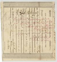 CertificatePrinted bounty certificate 465 for 320 acres to John Sadler for three months' service, issued in lieu of Poe warrant 1205, Austin, 4 October 1848.General Land Office, file 1123, page 8 · in the scan
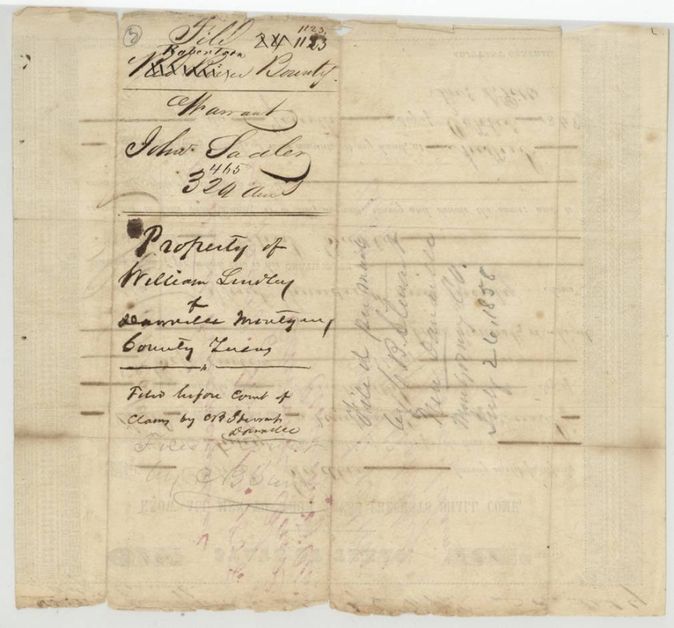
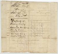 Back of the certificateBack of the certificate endorsed 'Property of William Lindley of Danville, Montgomery County', filed before the Court of Claims.General Land Office, file 1123, page 9 · in the scan
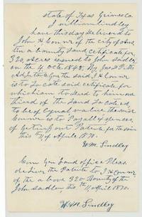 LetterWilliam Lindley of Grimes County gives the Sadler certificate to John H. Conner to locate for one third of the land.General Land Office, file 1123, page 10 · in the scan
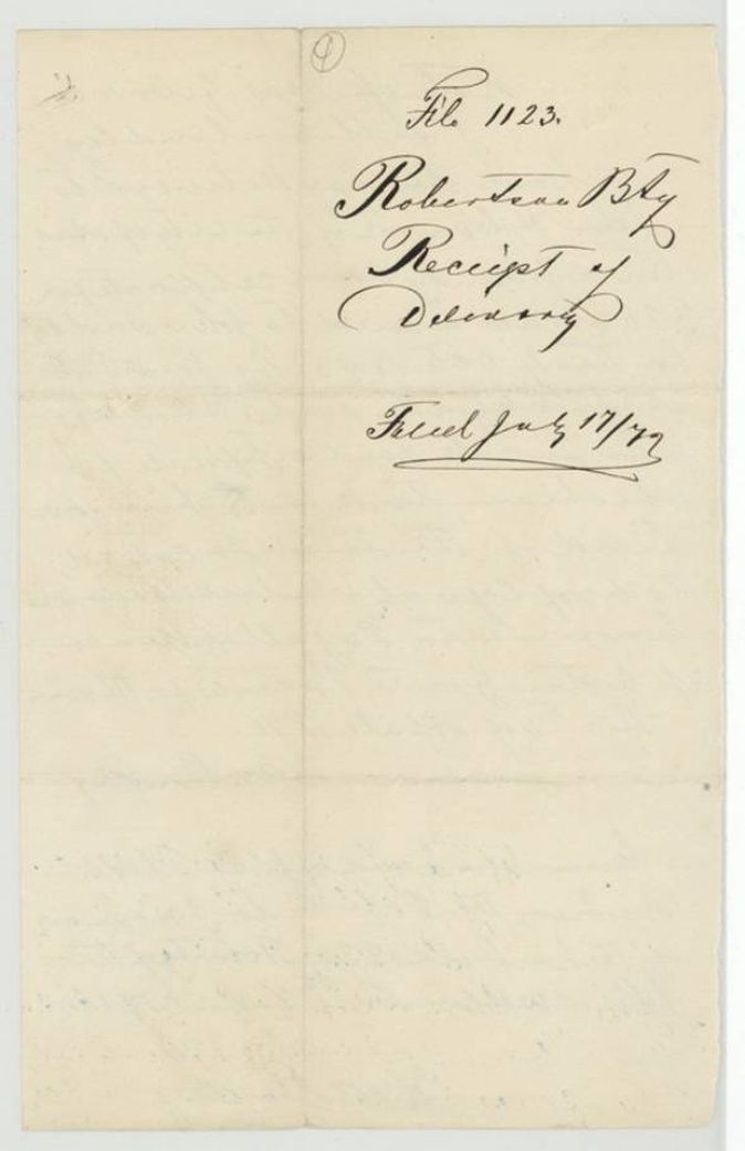
 WrapperWrapper marked 'Receipt of delivery', filed 17 July 1872.General Land Office, file 1123, page 11 · in the scan
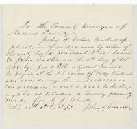 Other papersJohn H. Conner's application to the Navarro County Surveyor to locate 320 acres on warrant 465, covering the old Click survey.General Land Office, file 1123, page 12 · in the scan
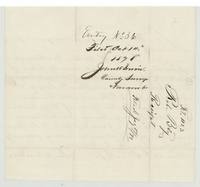 WrapperBack of the application, endorsed Entry No. 35(?), filed 14 October 1871 by County Surveyor John W. Irwin.General Land Office, file 1123, page 13 · in the scan
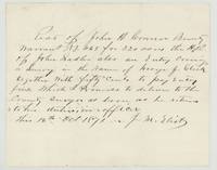 Other papersJ. M. Eliot's receipt from John H. Conner for warrant 465 and 50 cents entry fee, 16 October 1871.General Land Office, file 1123, page 14 · in the scan
 WrapperWrapper for a second receipt of delivery, filed 17 July 1872.General Land Office, file 1123, page 15 · in the scan
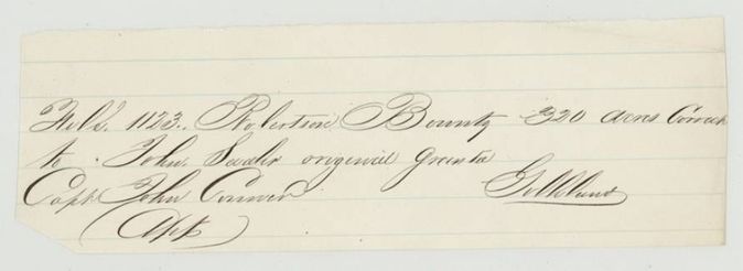
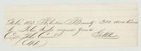 Other papersClerk's slip: File 1123, 320 acres correct to John Sadler original grantee, Capt. John Conner applicant(?).General Land Office, file 1123, page 16 · in the scan
Scans courtesy of the Texas General Land Office, Austin, from its Land Grant Database.
Neighbouring surveys
Sources
- Texas General Land Office, Land Grant Database: Navarro County, Abstract 785
- The Land Office file, scanned (PDF, at the General Land Office)
- 1924 map: courtesy of the Texas General Land Office, Austin, Map 73249, used under licence. Topo: U.S. Geological Survey, The National Map. Aerial photographs: U.S. Department of Agriculture, National Agriculture Imagery Program, 2012, 2018 and 2022. Survey outlines: Railroad Commission of Texas, Original Texas Land Survey. Grant records and files: Texas General Land Office.