Blackland TX · ← All the original surveys
Jos McDougald Survey, Abstract 573
- Granted to
- Jos McDougald
- Kind of grant
- Headright, third classLand for later settlers, including the colonists of Mercer’s Colony.
- Land Office file
- Robertson 3rd class, file 5509
- Certificate
- No. 33
- Acres
- 28
- Patented to
- Heirs of Joseph McDougald
- Patent
- 12 Nov 1873 · No. 463, Vol. 41
Tap a survey to open its page.
What the file shows
The heirs of Joseph McDougald held Mercer's Colony certificate No. 33, issued by the Kaufman County district court on 11 November 1856 for 640 acres. J. M. Eliot, a former Navarro County surveyor, located it in 1872-73 as five surveys, which County Surveyor A. S. Howren recorded in February and March 1873: 283, 14.37, 28, 146 2/10 and 130.6 acres. After long corrections over a Richland Creek boundary dispute that cut No. 4 to 132.3 acres, patents issued to the heirs in 1873, 1874, 1875 and 1878. The file also carries Eliot's widow's power of attorney, an 1869 bankruptcy transcript for W. H. Mitchell and the field notes of J. M. Steiner's scrip survey.
The certificate
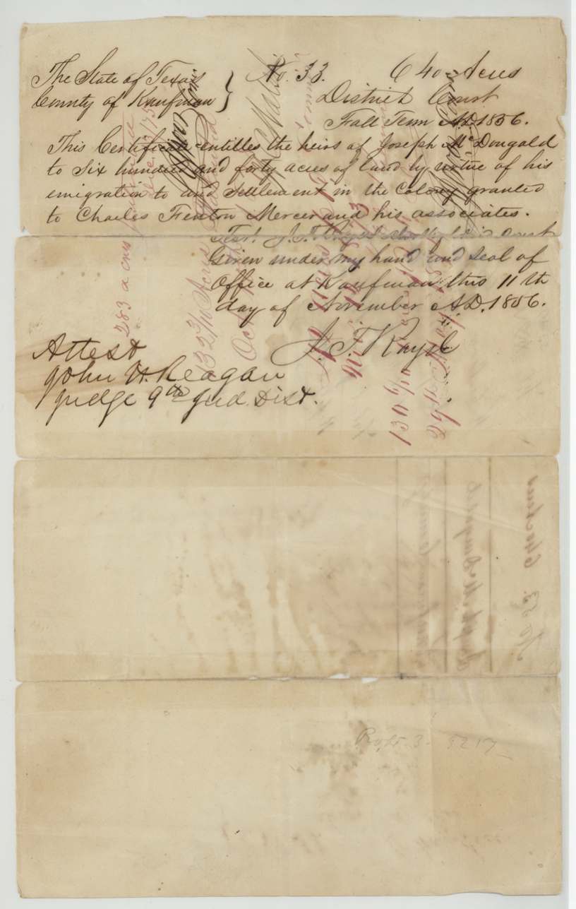
headright 3rd class (Mercer's Colony certificate of the heirs), No. 33, 640 (five surveys of 283, 14.37, 28, 132.3 and 130.6 acres located in this file), District Court of Kaufman County, Fall Term 1856; clerk's signature A. F.(?) Royal(?); attested by John H. Reagan, Judge 9th Judicial District, Kaufman, Kaufman County, 11 Nov 1856.
Certificate entitles the heirs of Joseph McDougald to 640 acres by virtue of his emigration to and settlement in the colony granted to Charles Fenton Mercer and his Associates.
Changes of hand
- undatedHeirs of Joseph McDougald → Champe Carter. The transfer is not in this file; the jacket says 'see 1015 Rob. Bly for transfer to Champe Carter' and 'Champe Carter' is written at the foot of the contents list.
The survey
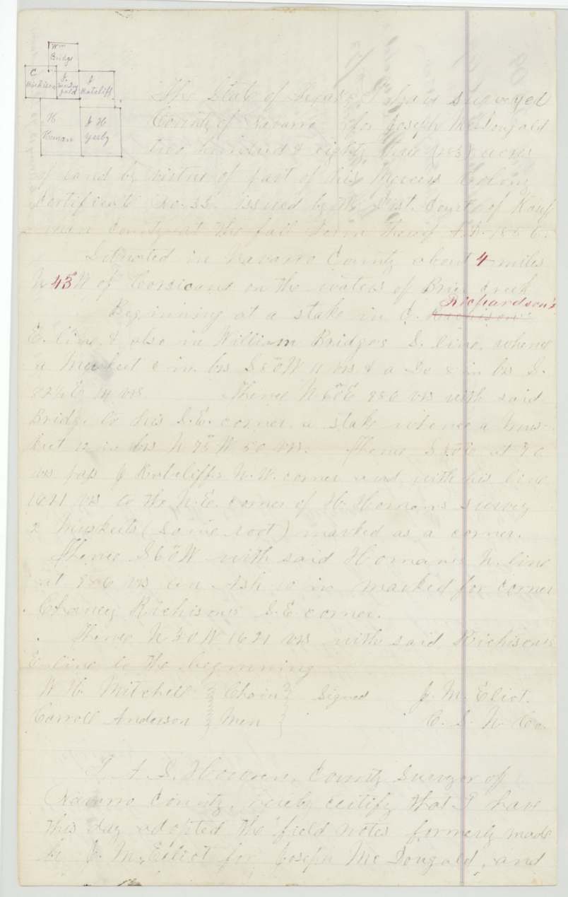
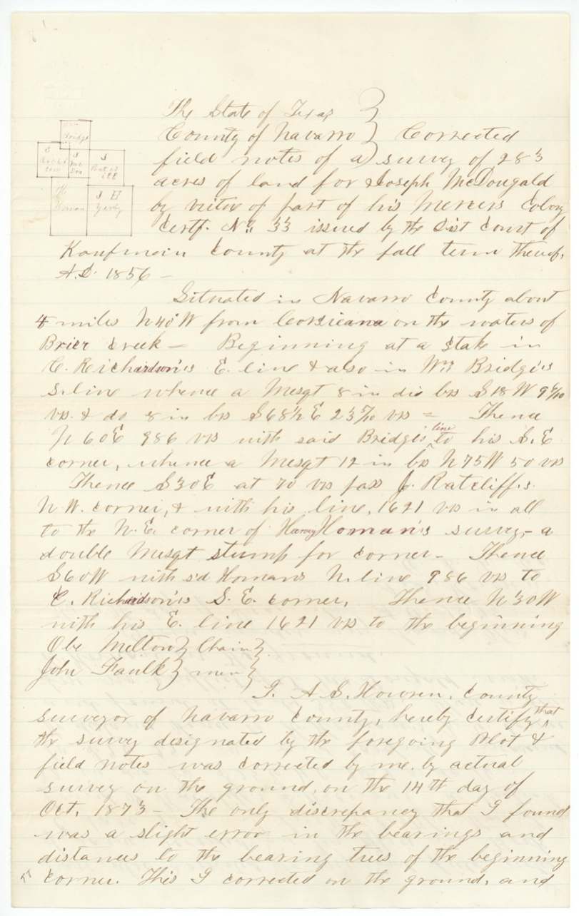
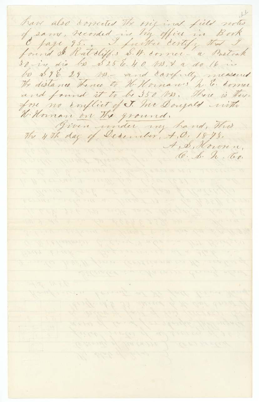
original survey by J. M. Eliot, undated, recorded in Book B page 443; adopted and re-recorded by Howren 1873-02-04; corrected on the ground 1873-10-14; Howren's further certificate 1873-12-04, J. M. Eliot, County Surveyor of Navarro County (original notes, 283 acres); A. S. Howren, County Surveyor, adopted and recorded them in 1873.
Navarro County about 4 miles N 43(?) W (red ink over the bearing) of Corsicana on the waters of Brier Creek; the corrected notes of Oct 1873 say about 4 miles N 40 W
Chain carriers: W. H. Mitchell, Carroll Anderson, Ole Milton (1873 correction), John Faulk (1873 correction).
Book B page 443 (Eliot's original); Book C pages 95-96 (4 Feb 1873); correction certified 4 Dec 1873
The survey
recorded 1873-03-15, A. S. Howren, County Surveyor of Navarro County.
Navarro County about 12 miles (12 struck, 11 written in red) west of Corsicana on the waters of Cottonwood Creek; red-ink bearing 'S 77(?) W'
Chain carriers: G. W. Thomason, A. S. Henry.
Book C, page 107
The survey
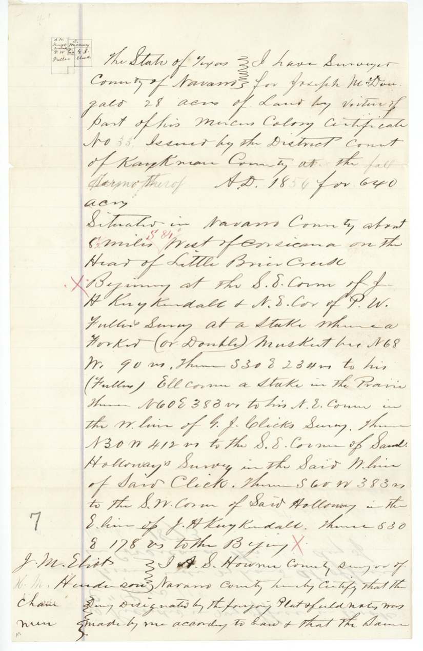
recorded 1873-03-15, A. S. Howren, County Surveyor of Navarro County.
Navarro County about 8 1/2 miles west of Corsicana on the head of Little Brier Creek; red-ink bearing 'S 84 W'
Chain carriers: J. M. Eliot, H. M. Henderson.
Book C, page 108
The survey
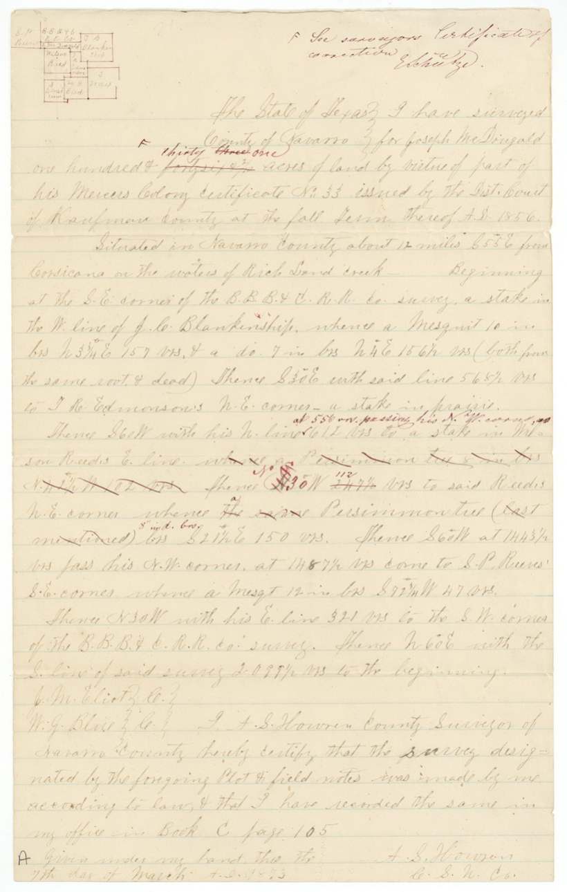
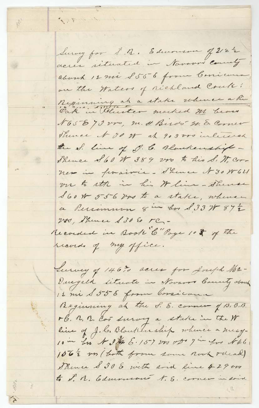
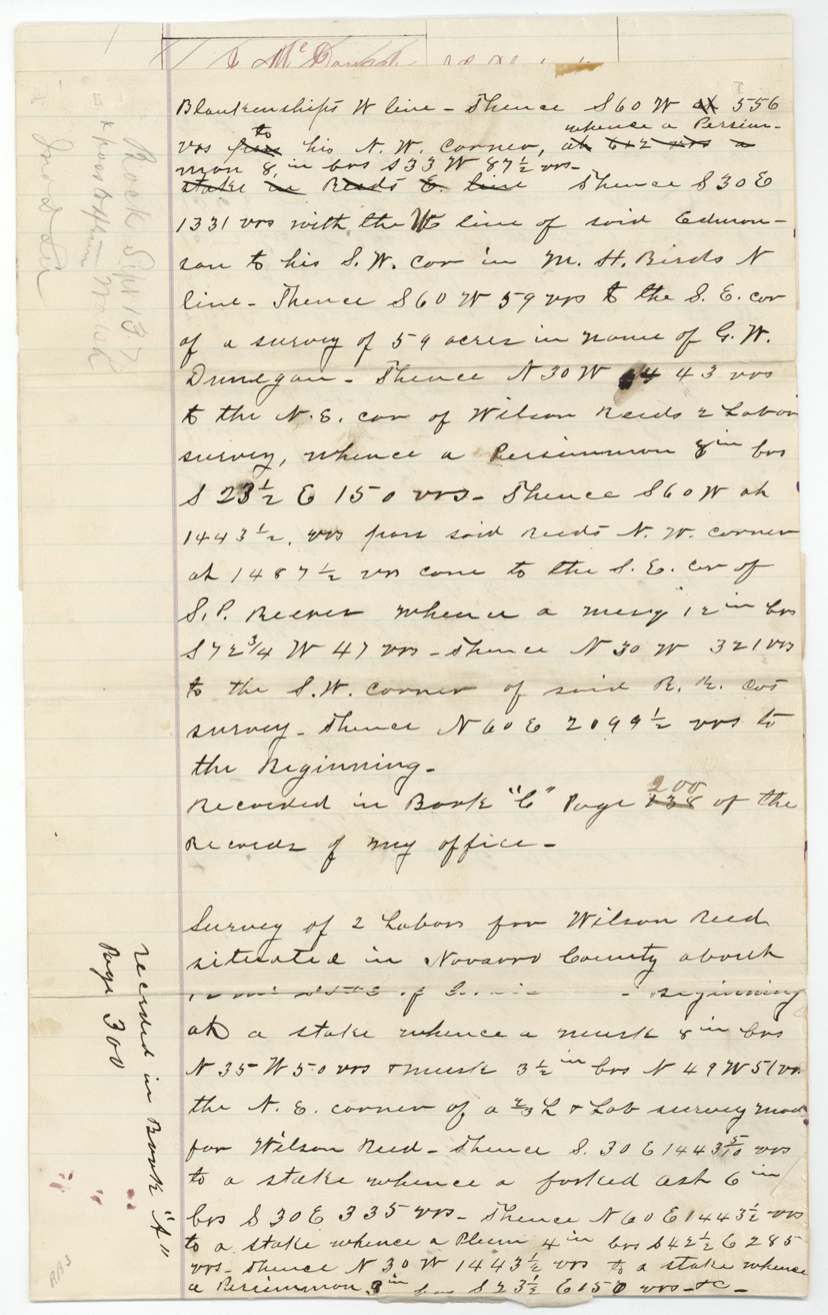
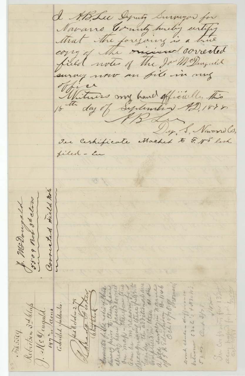
recorded 1873-03-07; corrected notes certified 1874-06-15; certificate of correction 1876-04-19; corrected notes copied 1877-12-11 and filed 1878-04-25; a further 147 2/10-acre survey of 1878-08-25 was rejected 1878-10-10, A. S. Howren, County Surveyor of Navarro County; later A. B. Lee, Deputy, and B. F. Marchbanks, County Surveyor.
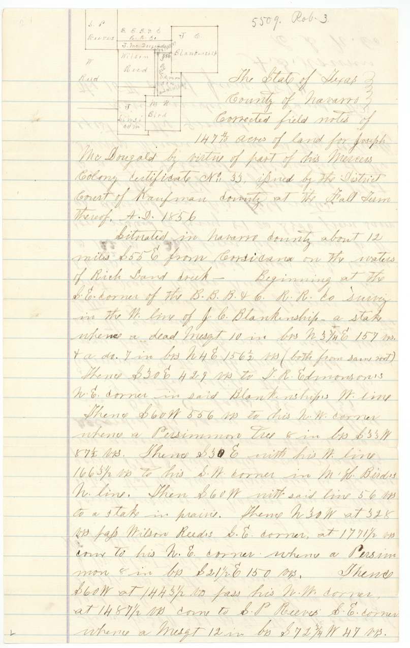
Navarro County about 12 miles S 55 E (later S 56 E) of Corsicana on the waters of Richland Creek
Chain carriers: J. M. Eliot, Wm. G. Blue.
Book C page 105 (1873); corrected notes Book C pages 138-139 (1874; copied by B. F. Marchbanks 11 Dec 1877)
The survey
recorded 1873-03-08, A. S. Howren, County Surveyor of Navarro County.
Navarro County about 9 1/2 miles S 57 E of Corsicana on the waters of Little Cedar Creek
Chain carriers: J. M. Eliot, W. G. Blue.
Book C, page 106
The patent
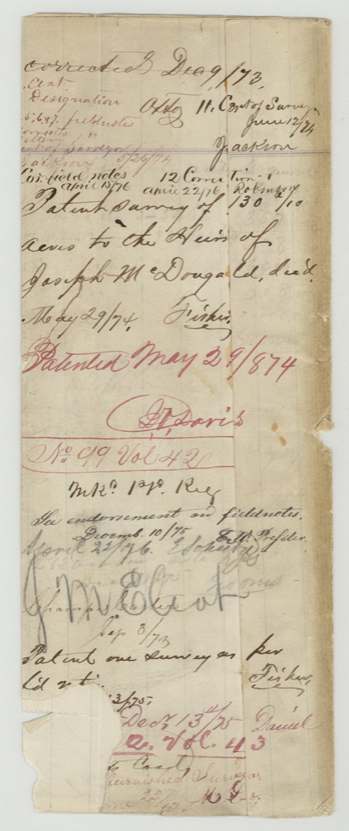
Five patents: 1873-11-12 (Nos. 462 and 463, Vol. 41); 1874-05-29 (No. 99, Vol. 42); 1875-12-13 (No. 302, Vol. 43); 1878-10-10 (No. 503, Vol. 44), 462/41 (Abst 572), 463/41 (573), 99/42 (574), 302/43 (575), 503/44 (576), to the heirs of Joseph McDougald, deceased, delivered to Jno. D. Lee is named on the jacket for the 1878 patent ('Patent to Heirs of Joseph McDougald per Act 13/78 Jno. D. Lee').
Also in the file
- Five surveys on one 640-acre certificate, spread across Navarro County from the Cottonwood Creek country in the west to Richland and Little Cedar creeks in the south-east; the file is a 'relocation of Rob. 3, 5217' and 'see 5462 Rob. 3rd other surveys'.
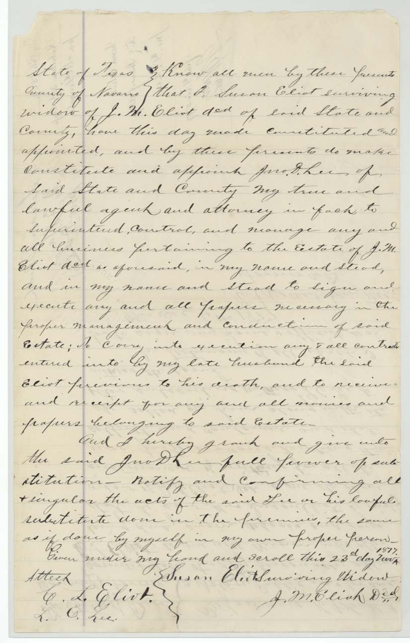
- The first 283-acre survey was made by J. M. Eliot and later adopted by County Surveyor A. S. Howren; Eliot died before December 1877 and his widow Susan Eliot gave a power of attorney to Jno. D. Lee.
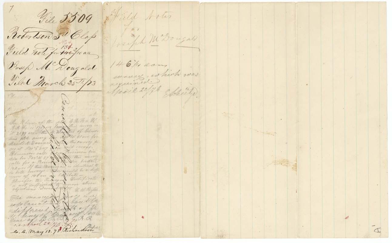
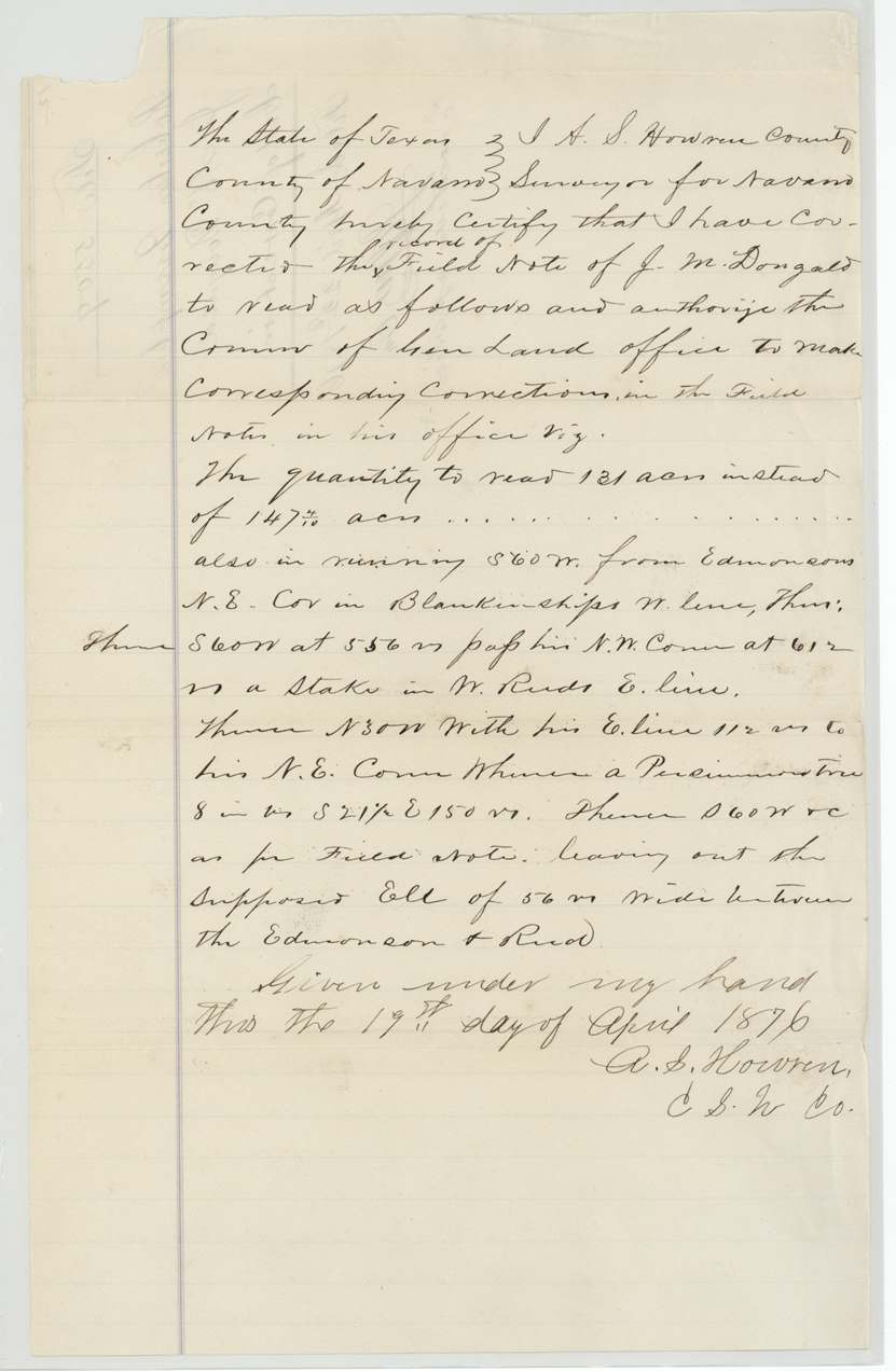
- No. 4 (Abst 576) changed acreage four times: 146 2/10 acres in March 1873 (red-altered in the notes to 133, then 131), 147 4/10 in Howren's corrected notes of June 1874, 131 by his certificate of correction of April 1876, and finally 132 3/10 (patented Oct 1878), after the Land Office objected that the Edmondson and Wilson Reed corner calls disagreed by 56 to 81 varas.
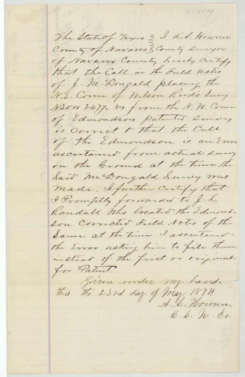
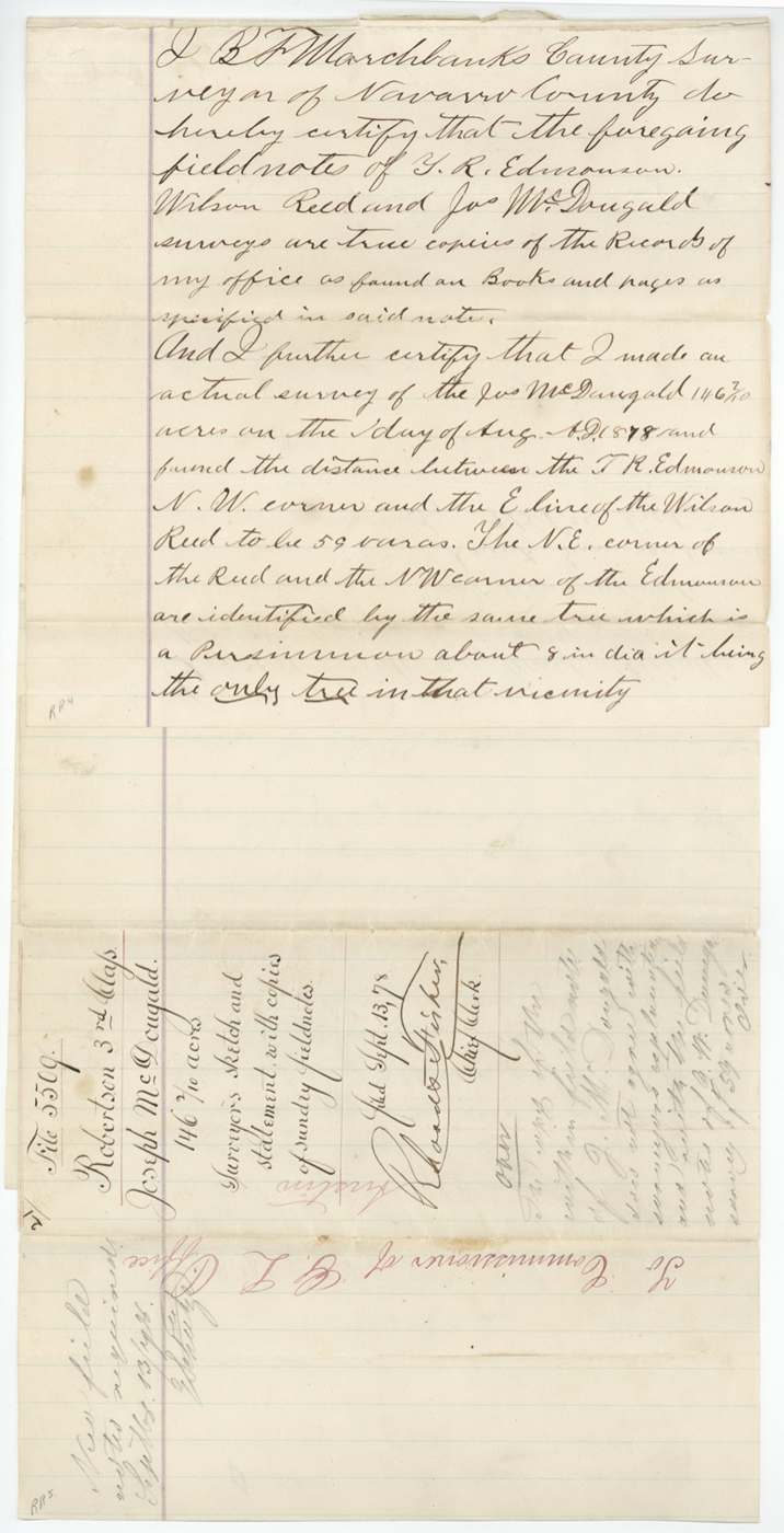
- County surveyors differ on the Edmondson-Reed gap: Howren (1874) said Edmondson's call was the error; Marchbanks (1878) found 59 varas between Edmondson's N.W. corner and Reed's east line.
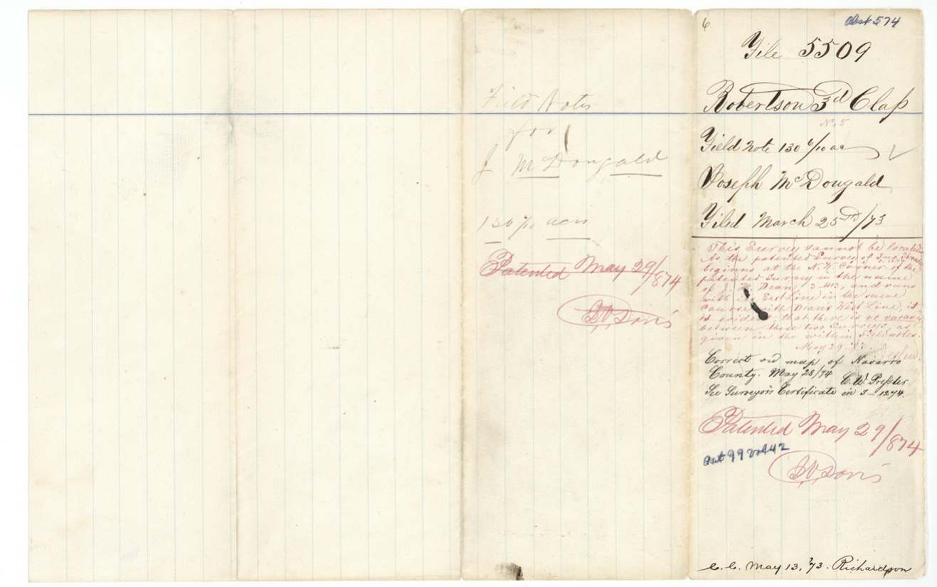
- The No. 5 survey (Abst 574) drew a Land Office objection on 29 May 1873 that the Stroder and Dean surveys leave no vacancy; it was passed on the map on 28 May 1874 on a surveyor's certificate filed in file 3-1274 and patented the next day.
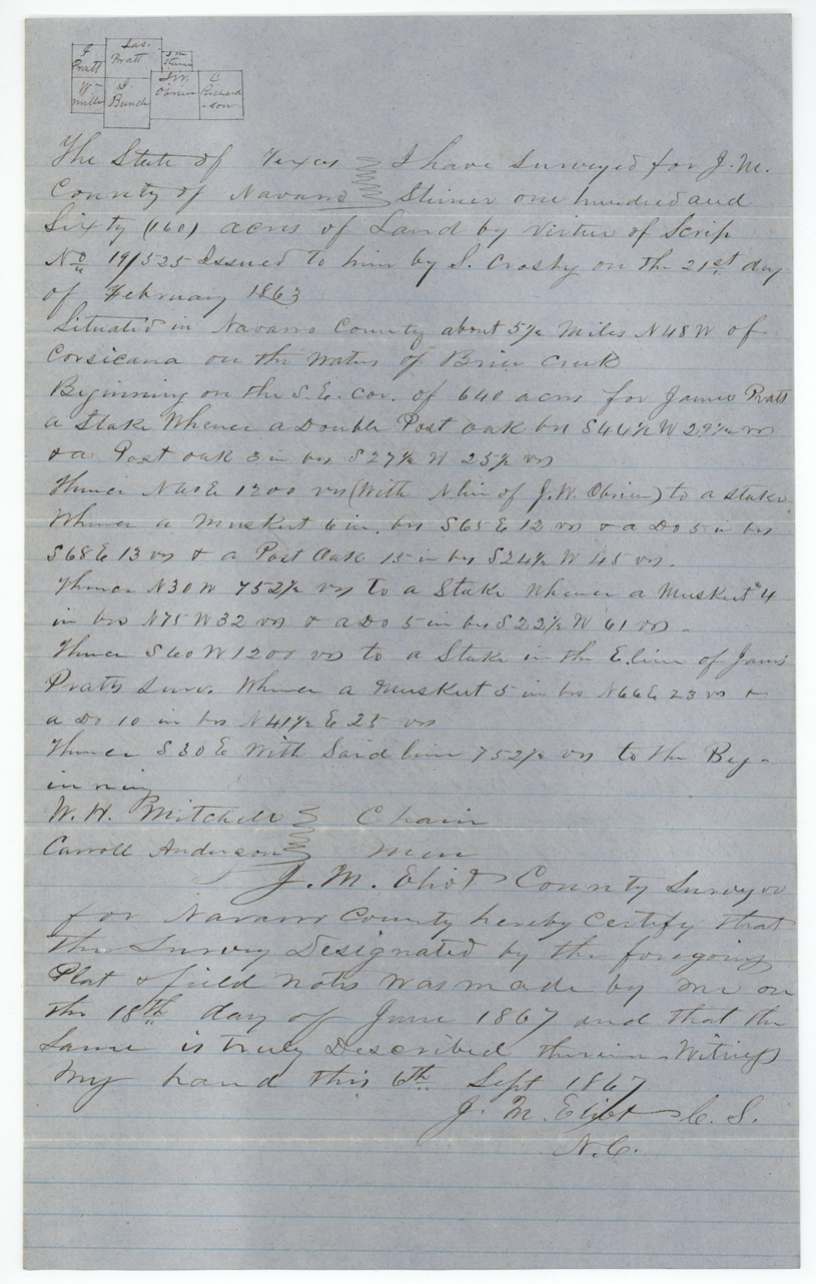
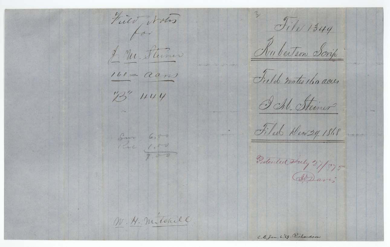
- The file includes field notes for J. M. Steiner's 160-acre scrip survey (pp9-11), which belong to file 1349 (Abst 789) and were patented to W. H. Mitchell on 27 July 1875.
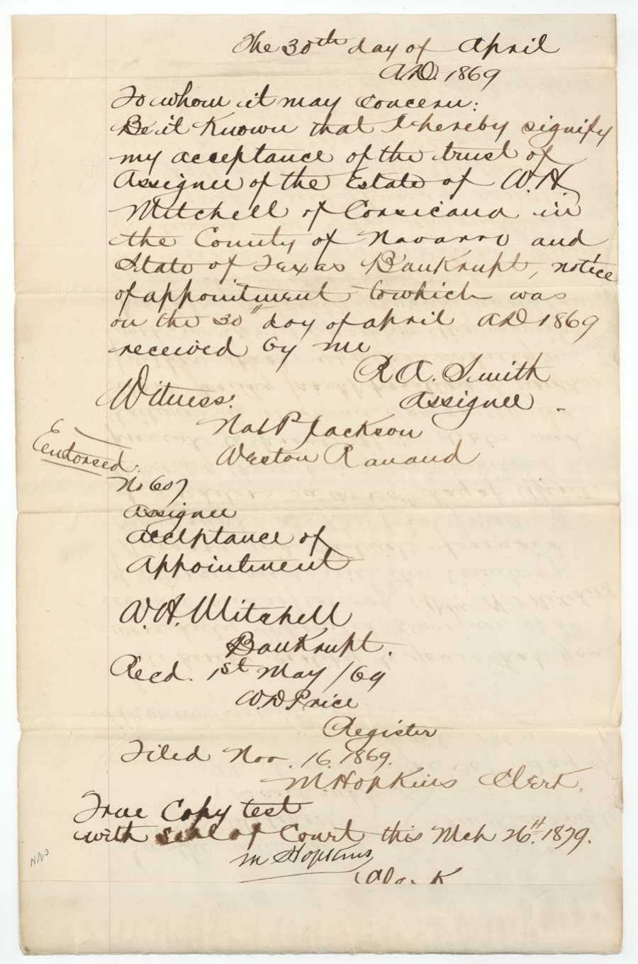
- The bankruptcy transcript of W. H. Mitchell (1869) has no stated link to McDougald's certificate; Mitchell was chain carrier on the 283-acre survey and later patentee of the Steiner scrip survey.
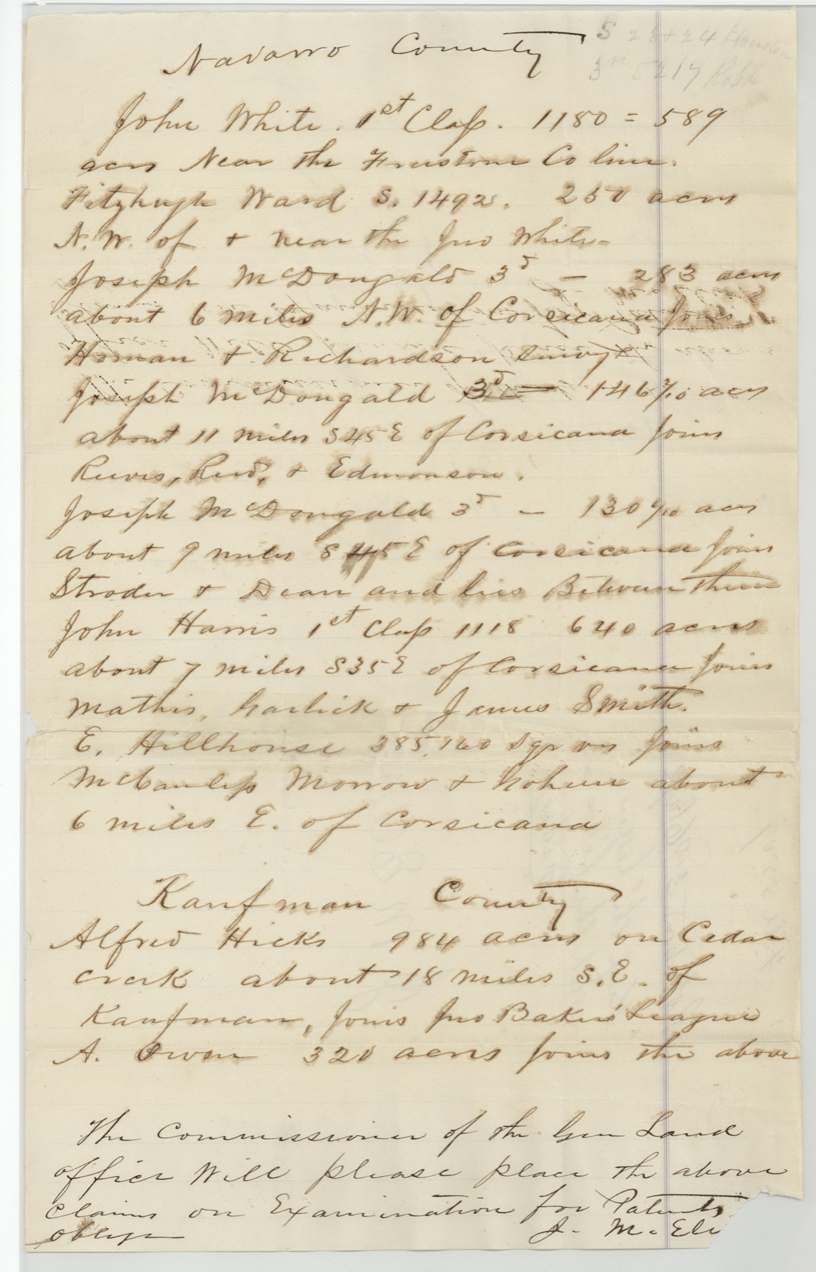
- Eliot's undated letter (p26) lists the 146 2/10-acre tract as about 11 miles S 45 E of Corsicana joining Reeves, Reed and Edmondson, and the 130 6/10-acre tract as about 9 miles S 45 E between Stroder and Dean; the field notes say 12 miles S 55 E and 9 1/2 miles S 57 E.
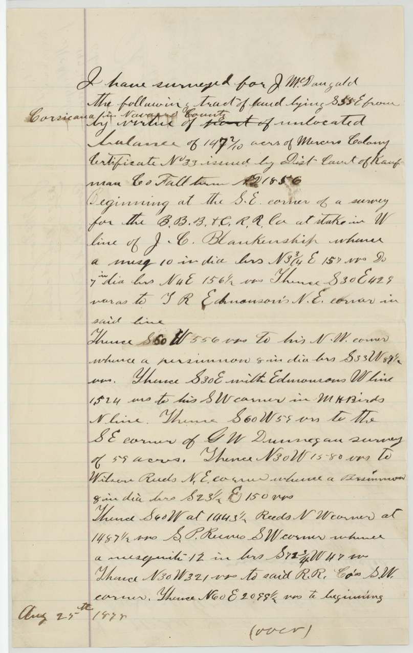
- A fresh survey of 147 2/10 acres made 25 Aug 1878 (pp51-52) was refused on 10 Oct 1878, the same day the 132 3/10-acre notes were patented, because its added area lay inside T. R. Edmondson's patented survey B-1146.
- Eliot's original 283-acre notes, adopted by Howren in 1873, had been recorded in Book B page 443 - the page next to the 1867 Steiner survey (Book B p. 444) also in this file.
- Index agrees with the jacket on all five patent dates, numbers and volumes and acreages.
Timeline
- 11 Nov 1856Kaufman County district court issues Mercer colony certificate No. 33 for 640 acres to the heirs of Joseph McDougald
- 18 Jun 1867J. M. Eliot surveys 160 acres of Scrip 19/525 for J. M. Steiner (belongs to Abst 789)
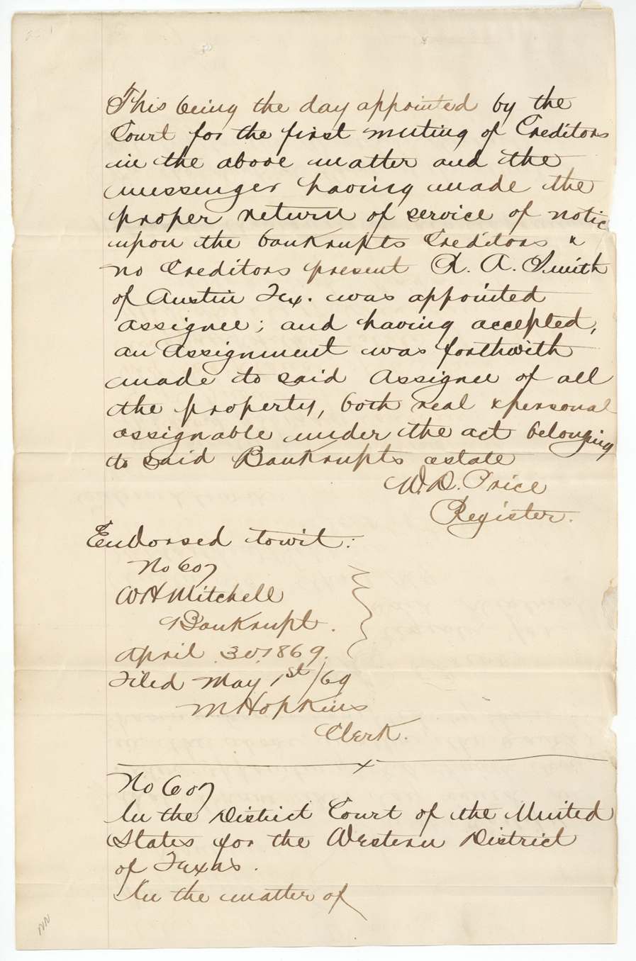
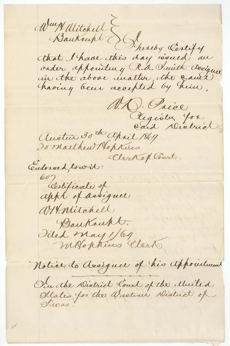
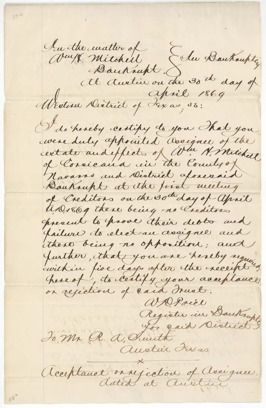
- 30 Apr 1869W. H. Mitchell adjudged bankrupt; R. A. Smith named assignee
- 17 Jul 1870Certificate No. 33 filed at the General Land Office
- 14 Sep 1872General Land Office delivers the certificate to J. M. Eliot to have a resurvey made of a 283-acre survey in Navarro County
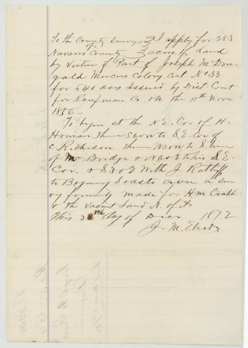
- 23 Dec 1872Eliot's entry for 283 acres filed with County Surveyor A. S. Howren
- 4 Feb 1873Howren adopts Eliot's 283-acre notes (Book B p. 443) and records them in Book C pp. 95-96
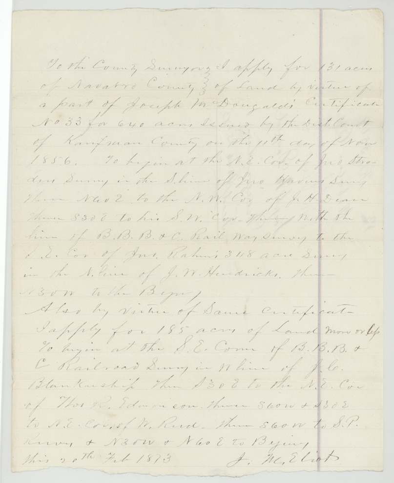
- 20 Feb 1873Eliot's applications for 131 acres and 185 acres
- 7 Mar 1873Howren records the field notes of Nos. 4 and 5 (Book C pages 105 and 106)
- 15 Mar 1873Howren records Nos. 2 and 3 (Book C pages 107 and 108)
- 25 Mar 1873The five surveys filed at the General Land Office
- 29 May 1873Land Office objects that No. 5 lies in no vacancy between Stroder and Dean
- 14 Oct 1873Howren checks the 283-acre survey on the ground
- 12 Nov 1873Patents Nos. 462 and 463, Vol. 41, issue for 14.37 and 28 acres
- 9 Dec 1873Corrected field notes of 283 acres filed
- 28 May 1874No. 5 passed correct on the map on a surveyor's certificate in file 3-1274
- 29 May 1874Patent No. 99, Vol. 42, for 130.6 acres
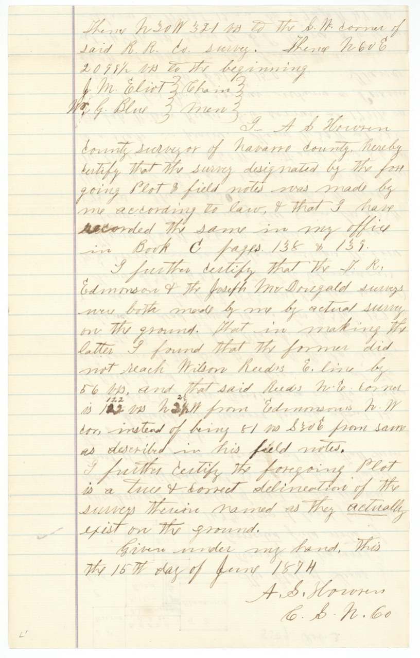
- 15 Jun 1874Howren certifies the Edmondson and McDougald surveys are right on the ground
- 13 Dec 1875Patent No. 302, Vol. 43, for 283 acres
- 19 Apr 1876Howren certifies correction of No. 4 to 131 acres
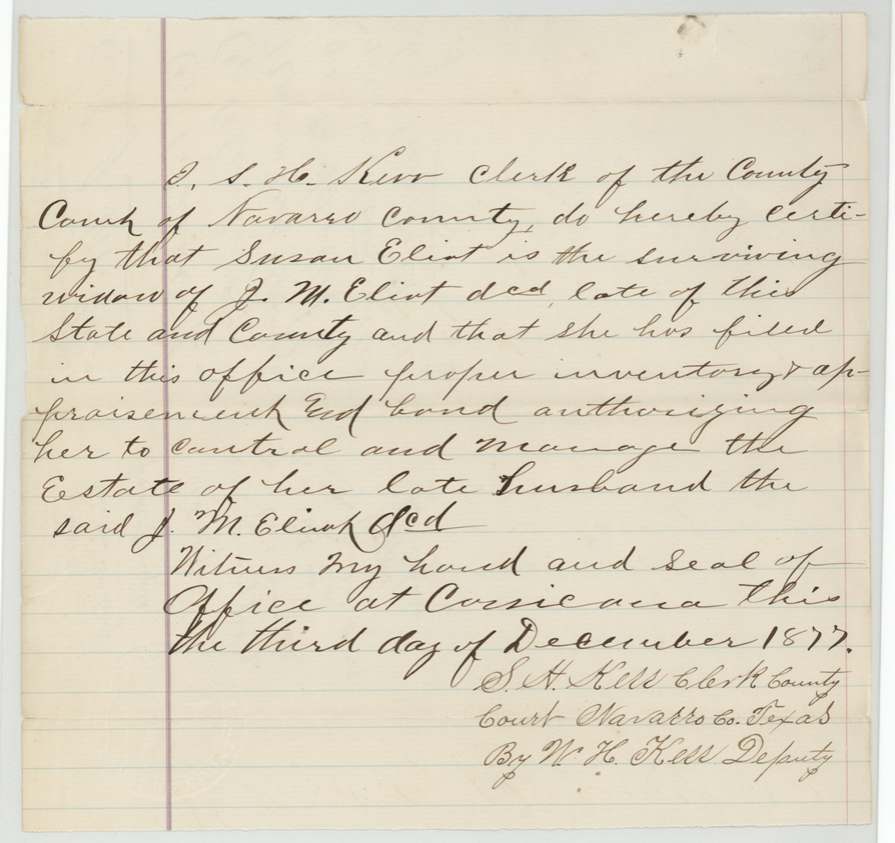
- 23 Nov 1877Susan Eliot, widow of J. M. Eliot, gives power of attorney to Jno. D. Lee
- 25 Aug 1878Survey of 147 2/10 acres, the 'unlocated balance', for J. McDougald (copy certified by A. B. Lee, deputy, 18 Sept 1878); refused by the Land Office 10 Oct 1878
- 10 Oct 1878Patent No. 503, Vol. 44, for 132.3 acres
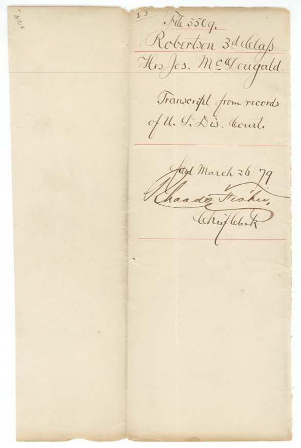
- 26 Mar 1879Bankruptcy transcript filed and the certificate refiled at the General Land Office
The papers in the file
Every page of the Land Office file, in the order the Land Office keeps them (57 pages). Tap a page to see it larger.
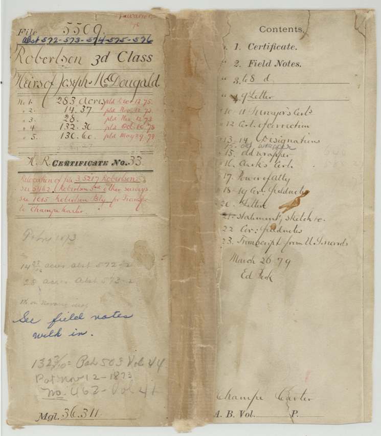
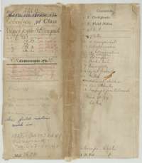 File jacketOuter file jacket for the McDougald claim, with a contents list of the certificate, field notes, letters and conveyances kept in this file.General Land Office, file 5509, page 1 · in the scan
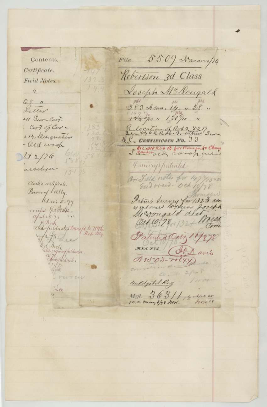
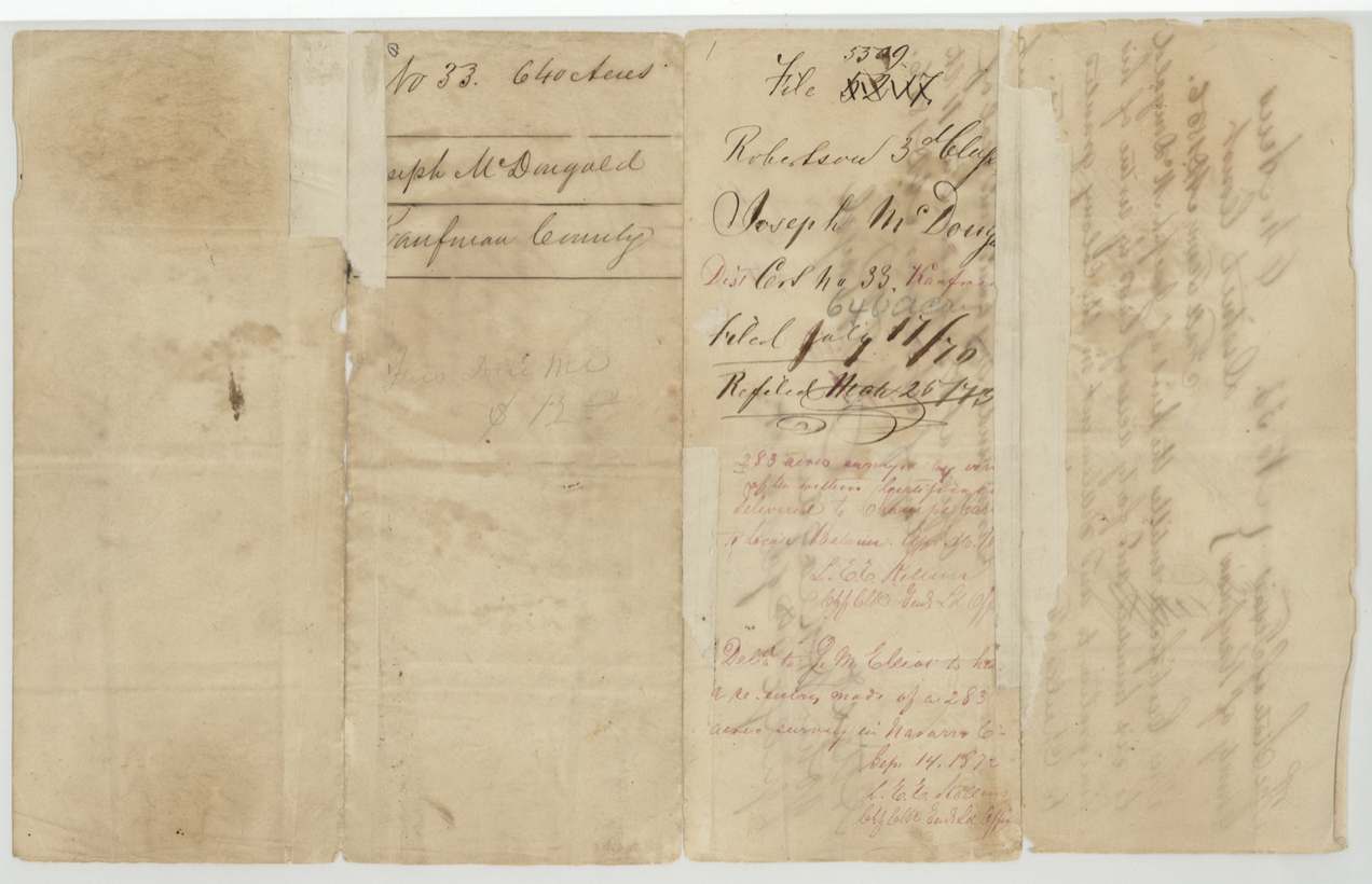
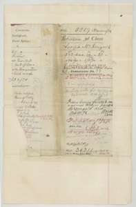 File jacketOlder file jacket with a contents list, acreage tally and the patent entries for the five McDougald surveys.General Land Office, file 5509, page 2 · in the scan
 WrapperOld wrapper marked File 5509, Robertson third class, Joseph McDougald.General Land Office, file 5509, page 3 · in the scan
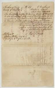 CertificateMercer's Colony certificate No. 33 for 640 acres issued to the heirs of Joseph McDougald by the Kaufman County District Court, 11 November 1856.General Land Office, file 5509, page 4 · in the scan
 Back of the certificateBack of the certificate, with the file docket and Land Office endorsements for the McDougald claim.General Land Office, file 5509, page 5 · in the scan
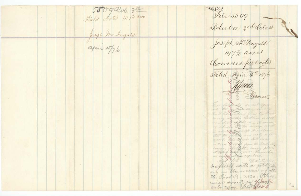
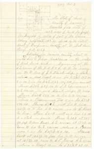 Field notesCorrected field notes and plat for a tract of about 147 acres on Richland Creek, surveyed for Joseph McDougald's heirs and filed in 1876.General Land Office, file 5509, page 6 · in the scan
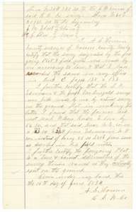 Surveyor's certificateCounty surveyor A. S. Howren's certificate of 15 June 1874 that the Richland Creek survey was made according to law and recorded in Book C.General Land Office, file 5509, page 7 · in the scan
 WrapperWrapper for the corrected McDougald field notes filed 19 April 1876.General Land Office, file 5509, page 8 · in the scan
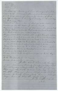 Field notesField notes for 160 acres on Brier Creek surveyed by J. M. Eliot, 18 June 1867, under scrip for a different claimant and filed in this file.General Land Office, file 5509, page 9 · in the scan
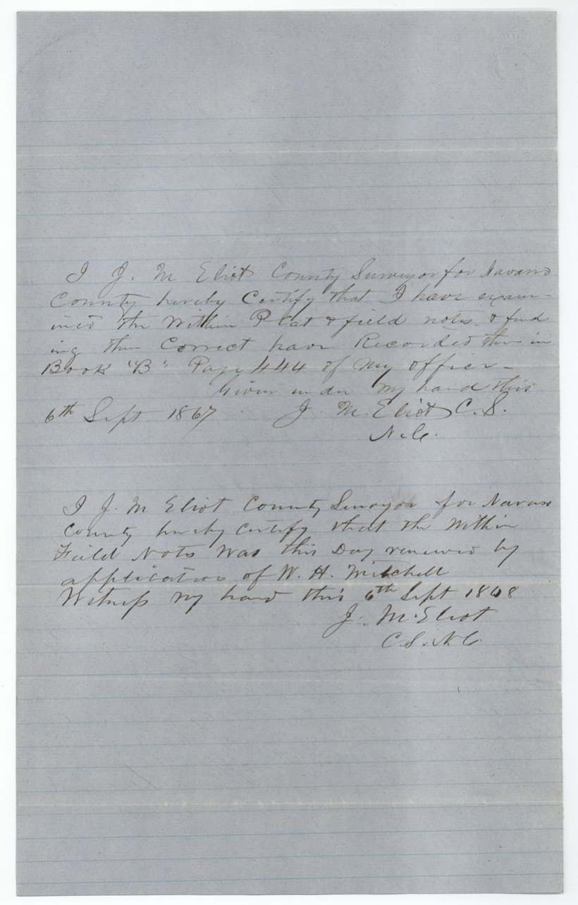
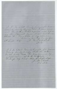 Surveyor's certificateCounty surveyor J. M. Eliot's certificates of 6 September 1867 and 6 September 1868 that the Brier Creek field notes are correct and were renewed.General Land Office, file 5509, page 10 · in the scan
 WrapperWrapper for the 160-acre scrip field notes on Brier Creek, filed 29 December 1868.General Land Office, file 5509, page 11 · in the scan
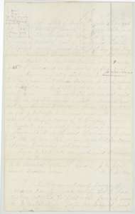 Field notesEliot's field notes and plat for 283 acres on Brier Creek, adopted by county surveyor A. S. Howren for the McDougald heirs, with Howren's certificate.General Land Office, file 5509, page 12 · in the scan
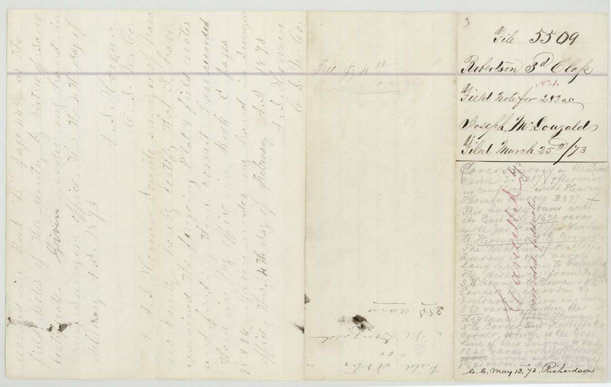
 WrapperWrapper and back of the 283-acre field notes, with recording and filing notes of March 1873.General Land Office, file 5509, page 13 · in the scan
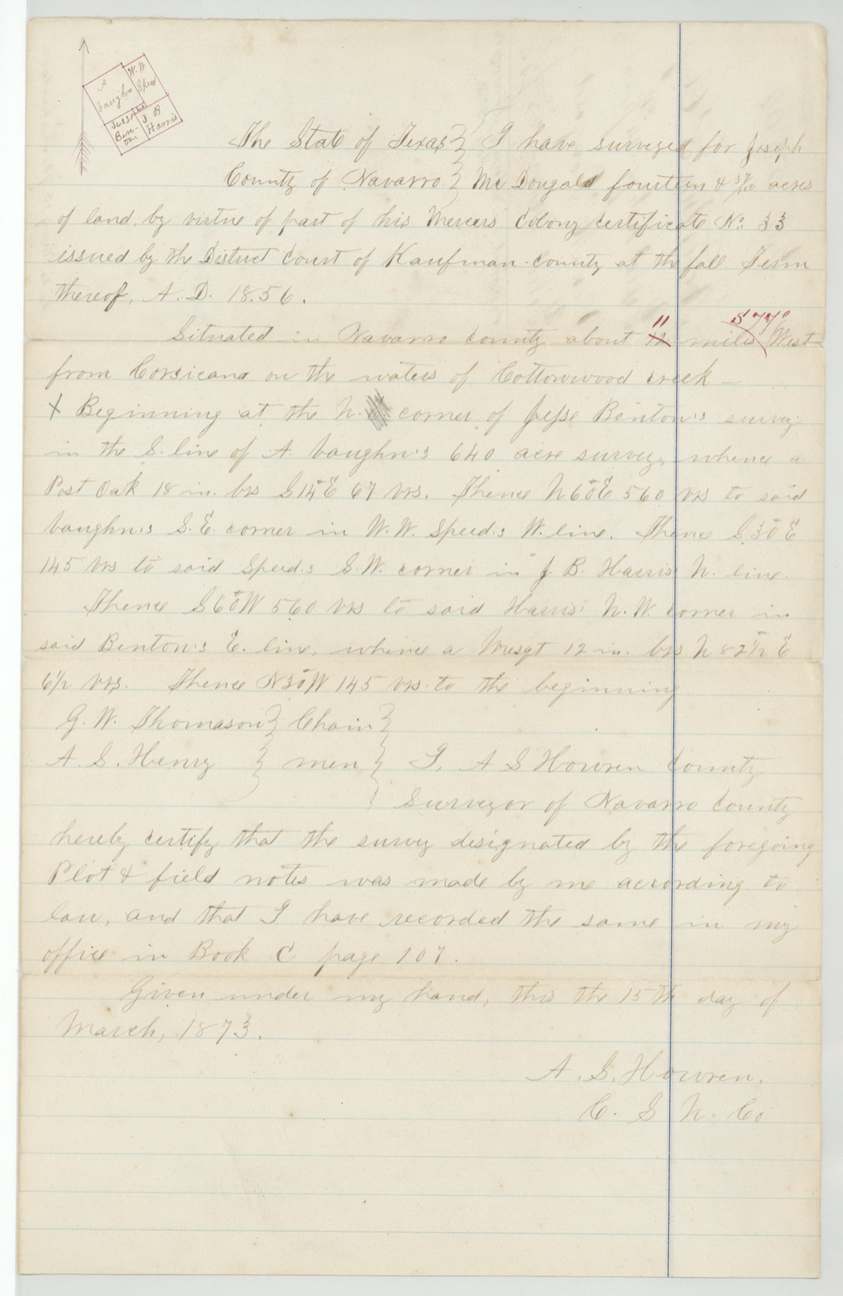
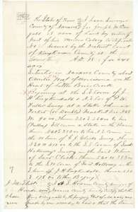 Field notesField notes and plat for 28 acres at the head of Little Brier Creek, surveyed for Joseph McDougald's heirs by county surveyor A. S. Howren, 15 March 1873.General Land Office, file 5509, page 14 · in the scan
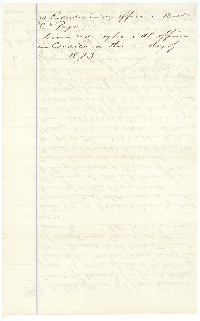
 Surveyor's certificateContinuation of county surveyor Howren's certificate for the 28-acre survey, with the recording note for Book C.General Land Office, file 5509, page 15 · in the scan
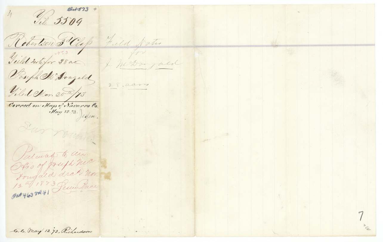
 WrapperWrapper for the 28-acre McDougald field notes, filed 25 March 1873 and marked as patented in November 1873.General Land Office, file 5509, page 16 · in the scan
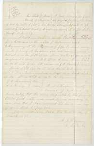 Field notesField notes and plat for 14 acres on Cottonwood Creek, surveyed for Joseph McDougald's heirs by county surveyor A. S. Howren, 15 March 1873.General Land Office, file 5509, page 17 · in the scan
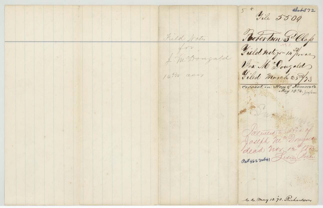
 WrapperWrapper for the 14-acre McDougald field notes, filed 25 March 1873 and marked as patented to the heirs in November 1873.General Land Office, file 5509, page 18 · in the scan
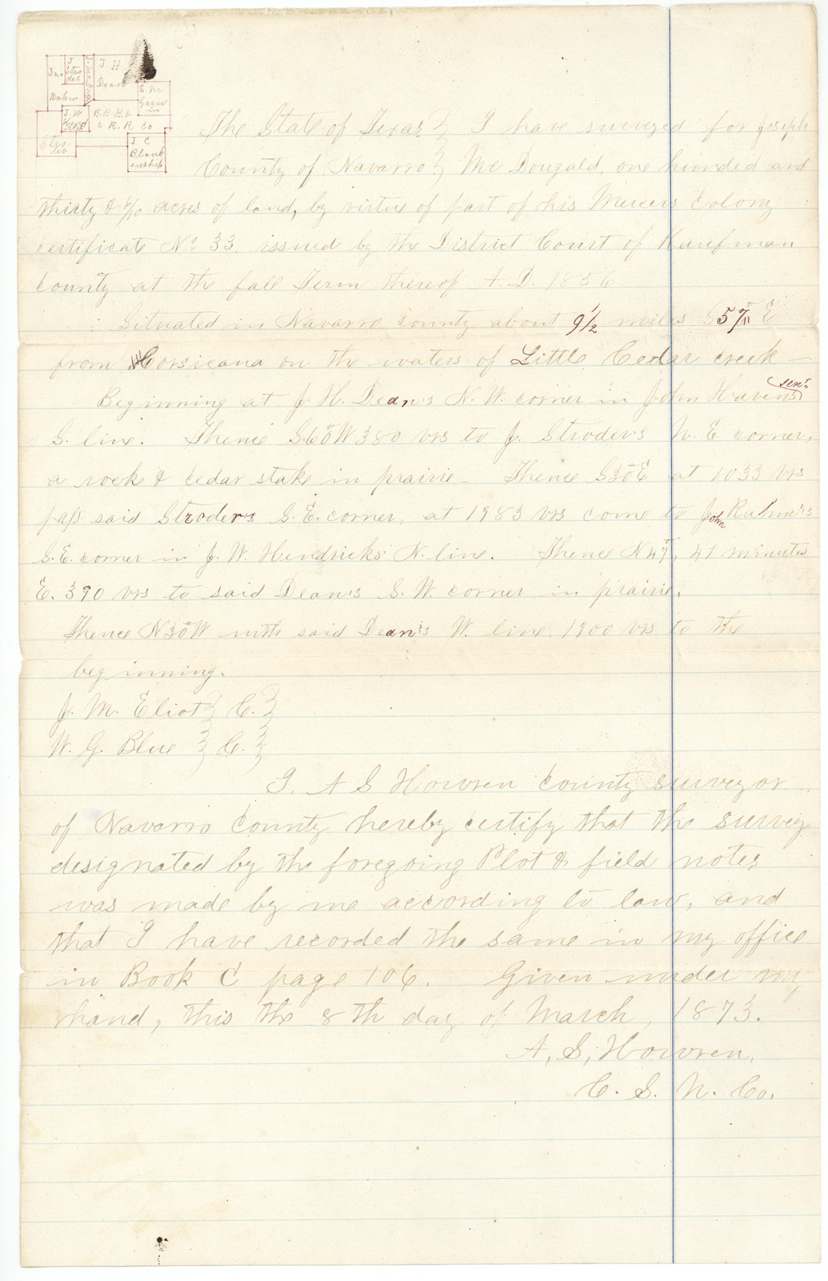
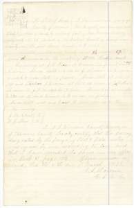 Field notesField notes and plat for 130 acres on Little Cedar Creek, surveyed for Joseph McDougald's heirs by county surveyor A. S. Howren, 8 March 1873.General Land Office, file 5509, page 19 · in the scan
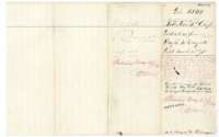 WrapperWrapper for the 130-acre McDougald field notes, filed 25 March 1873 and marked as patented on 29 May 1874.General Land Office, file 5509, page 20 · in the scan
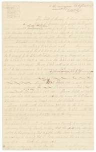 Field notesField notes and plat for about 146 acres on Richland Creek, surveyed for Joseph McDougald's heirs by county surveyor A. S. Howren in March 1873.General Land Office, file 5509, page 21 · in the scan
 WrapperWrapper for the 146-acre McDougald field notes, filed 25 March 1873.General Land Office, file 5509, page 22 · in the scan
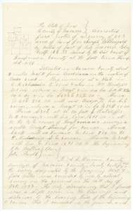 Field notesCorrected field notes for 283 acres on Brier Creek, run again on the ground for Joseph McDougald's heirs by county surveyor A. S. Howren, 14 October 1873.General Land Office, file 5509, page 23 · in the scan
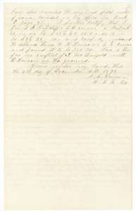 Surveyor's certificateContinuation of surveyor Howren's certificate of 4 December 1873 that the corrected 283-acre survey conflicts with no neighboring survey on the ground.General Land Office, file 5509, page 24 · in the scan
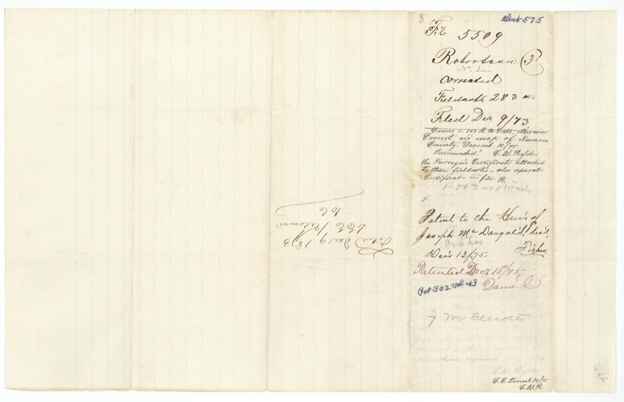
 WrapperWrapper for the corrected 283-acre McDougald field notes, with the patent entry of 13 December 1875 to the heirs.General Land Office, file 5509, page 25 · in the scan
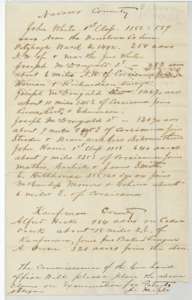 LetterList sent by J. M. Eliot to the Land Office of Navarro and Kaufman County claims, including the McDougald tracts, that he asks to have examined for patent.General Land Office, file 5509, page 26 · in the scan
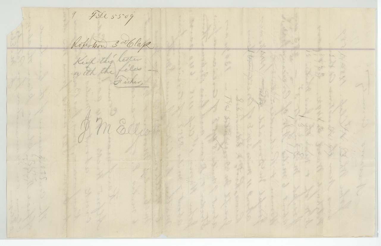
 WrapperWrapper marked to keep Eliot's list of claims with the file.General Land Office, file 5509, page 27 · in the scan
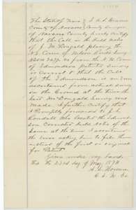 Surveyor's certificateCounty surveyor A. S. Howren's certificate of 23 May 1874 on a boundary call in the McDougald survey and the neighboring Edmondson survey.General Land Office, file 5509, page 28 · in the scan
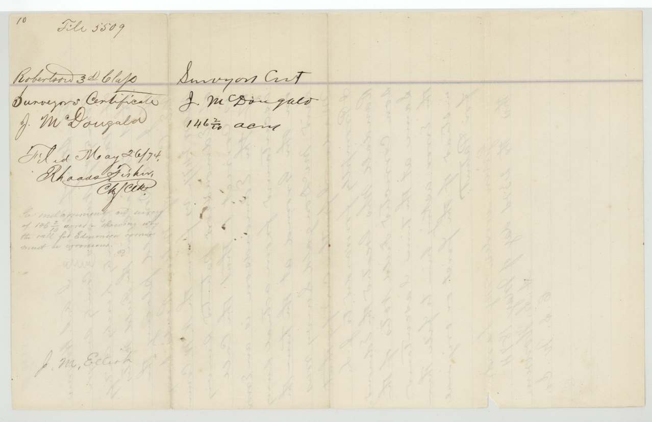
 WrapperWrapper for county surveyor Howren's certificate on the 146-acre McDougald survey, filed 1874.General Land Office, file 5509, page 29 · in the scan
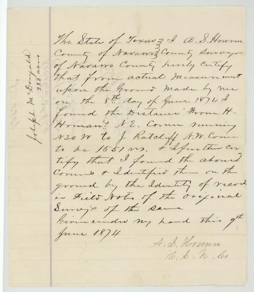
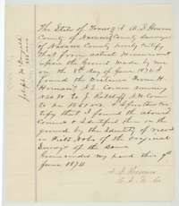 Surveyor's certificateCounty surveyor A. S. Howren's certificate of 9 June 1874 giving the measured distance between two corners on the ground in the McDougald survey.General Land Office, file 5509, page 30 · in the scan
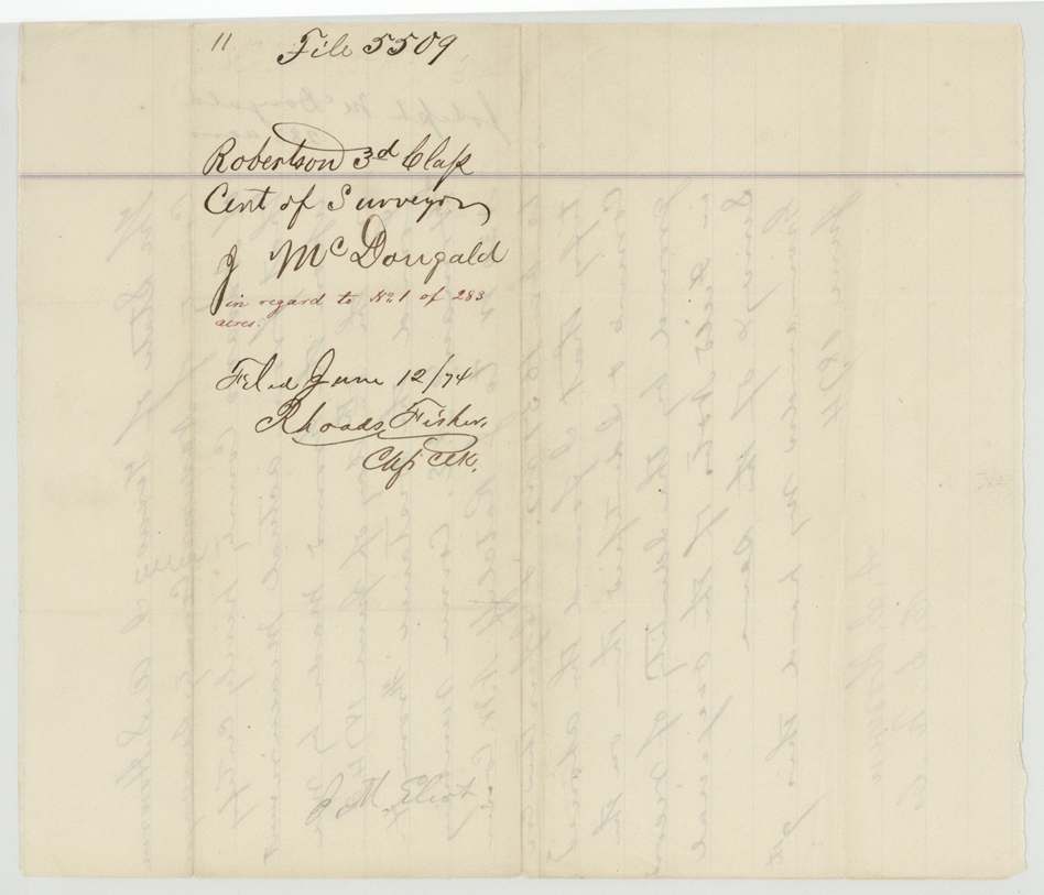
 WrapperWrapper for county surveyor Howren's certificate on the 283-acre McDougald survey, filed June 1874.General Land Office, file 5509, page 31 · in the scan
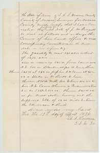 Surveyor's certificateCounty surveyor A. S. Howren's certificate of 19 April 1876 correcting the McDougald field notes to about 131 acres.General Land Office, file 5509, page 32 · in the scan
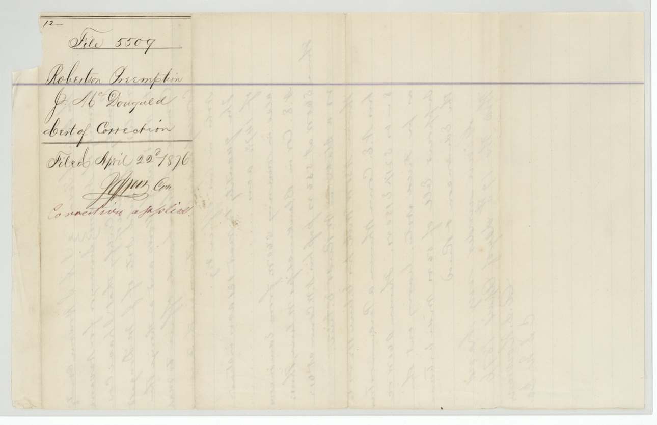
 WrapperWrapper for the certificate of correction, filed 22 April 1876.General Land Office, file 5509, page 33 · in the scan
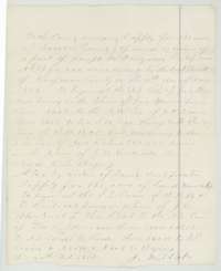 Other papersApplication by J. M. Eliot to the county surveyor in February 1873 to locate more land under the McDougald Mercer's Colony certificate.General Land Office, file 5509, page 34 · in the scan
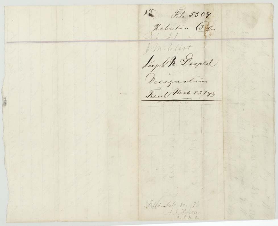
 WrapperWrapper for the McDougald designation, filed 25 March 1873.General Land Office, file 5509, page 35 · in the scan
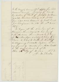 Other papersApplication of December 1872 by J. M. Eliot to the county surveyor for 283 acres under McDougald's Mercer's Colony certificate No. 33.General Land Office, file 5509, page 36 · in the scan
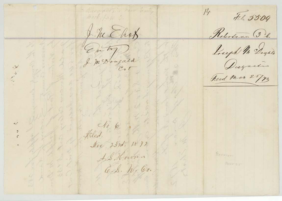
 WrapperWrapper for J. M. Eliot's entry under the McDougald certificate, filed 25 March 1873.General Land Office, file 5509, page 37 · in the scan
 WrapperOld jacket with patent entries for the McDougald surveys, patented to the heirs of Joseph McDougald.General Land Office, file 5509, page 38 · in the scan
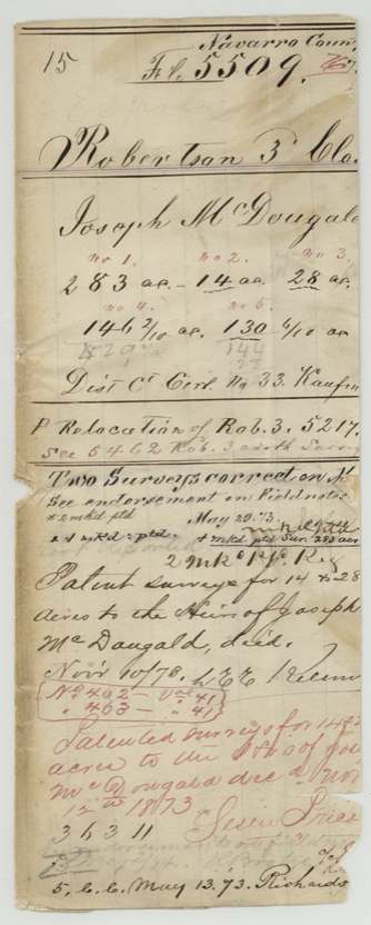
 WrapperOld jacket listing the McDougald surveys of 283, 14, 28, 146 and 130 acres, with patent entries to the heirs.General Land Office, file 5509, page 39 · in the scan
 AffidavitNavarro County clerk's certificate of 3 December 1877 that Susan Eliot, widow of J. M. Eliot, filed an inventory and bond to manage his estate.General Land Office, file 5509, page 40 · in the scan
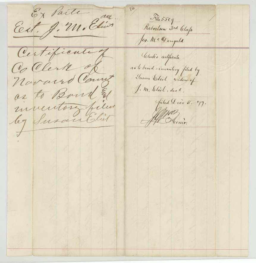
 WrapperWrapper for the Navarro County clerk's certificate and bond for the estate of J. M. Eliot, filed 5 December 1877.General Land Office, file 5509, page 41 · in the scan
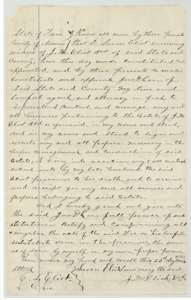 Power of attorneyPower of attorney of 23 November 1877 in which Susan Eliot, widow of J. M. Eliot, authorizes Jno. D. Lee to manage his estate and business.General Land Office, file 5509, page 42 · in the scan
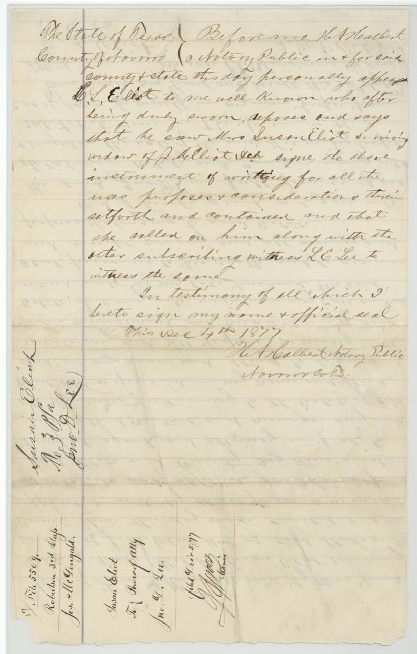
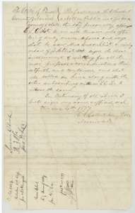 Power of attorneyNotary's proof of the Susan Eliot power of attorney, taken at Navarro County on 4 December 1877.General Land Office, file 5509, page 43 · in the scan
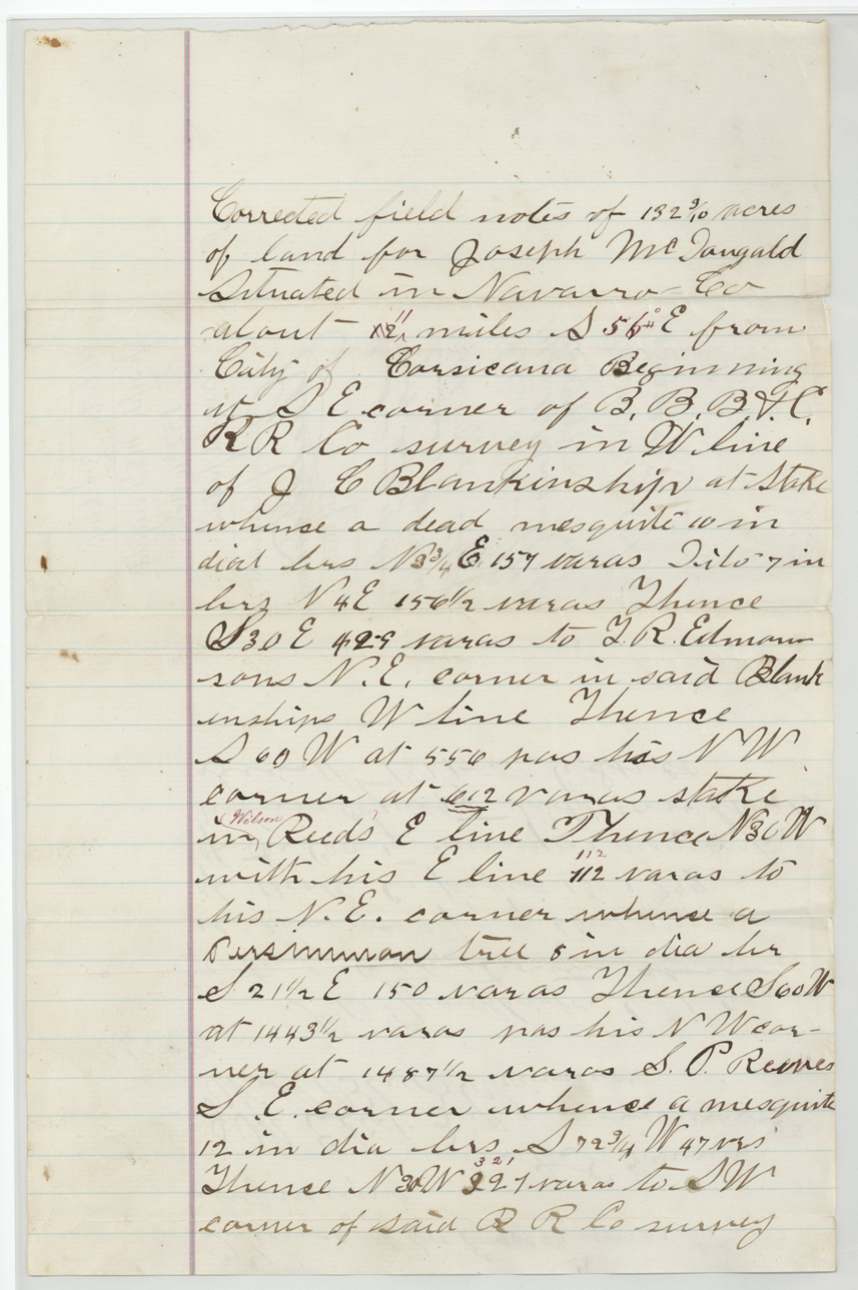
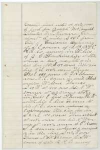 Field notesCorrected field notes for about 132 acres south-east of Corsicana, surveyed for Joseph McDougald's heirs, beginning at a corner of the railroad survey.General Land Office, file 5509, page 44 · in the scan
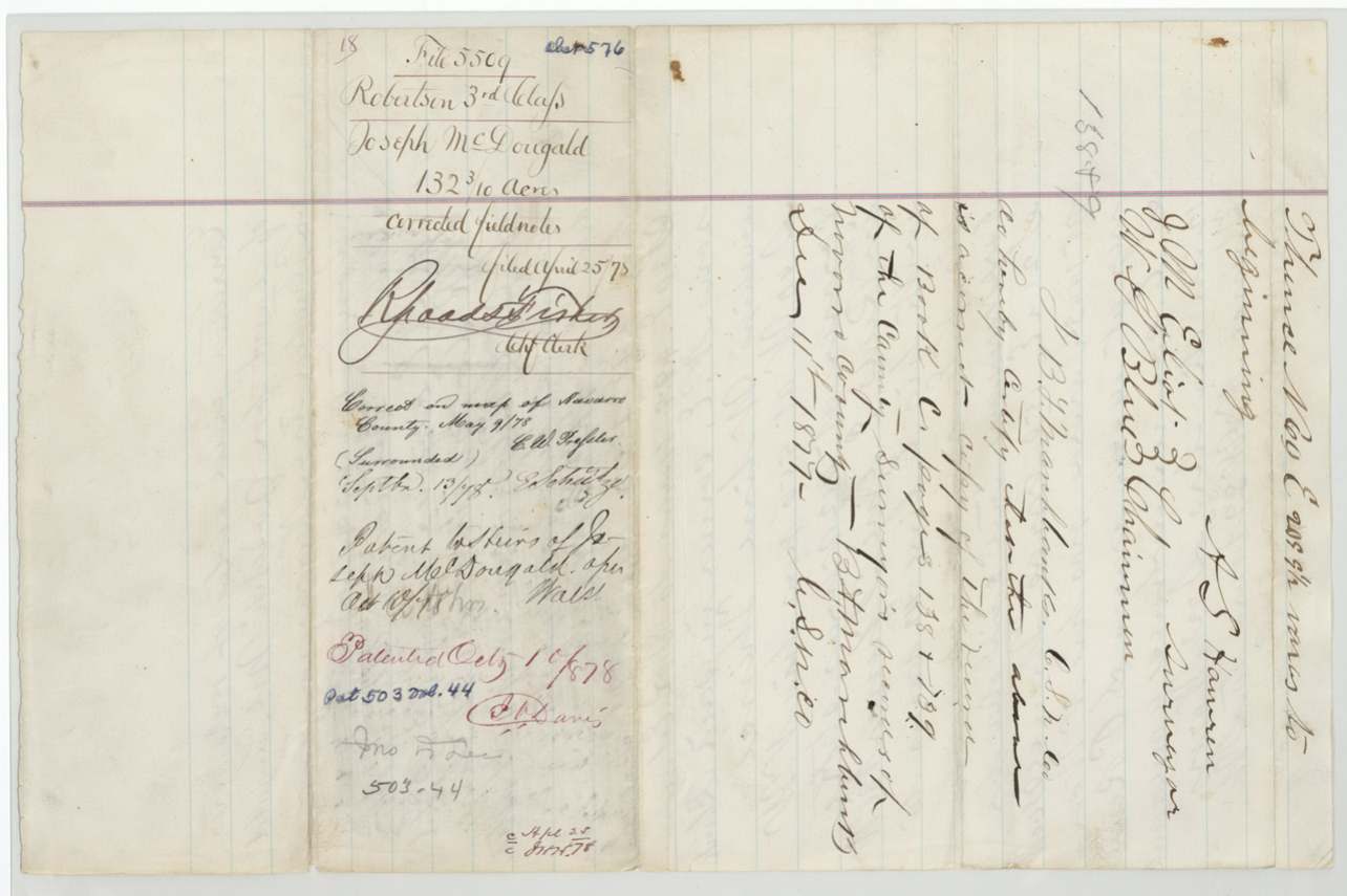
 WrapperWrapper for the 132-acre McDougald field notes, with the patent entry of 10 October 1878 to the heirs.General Land Office, file 5509, page 45 · in the scan
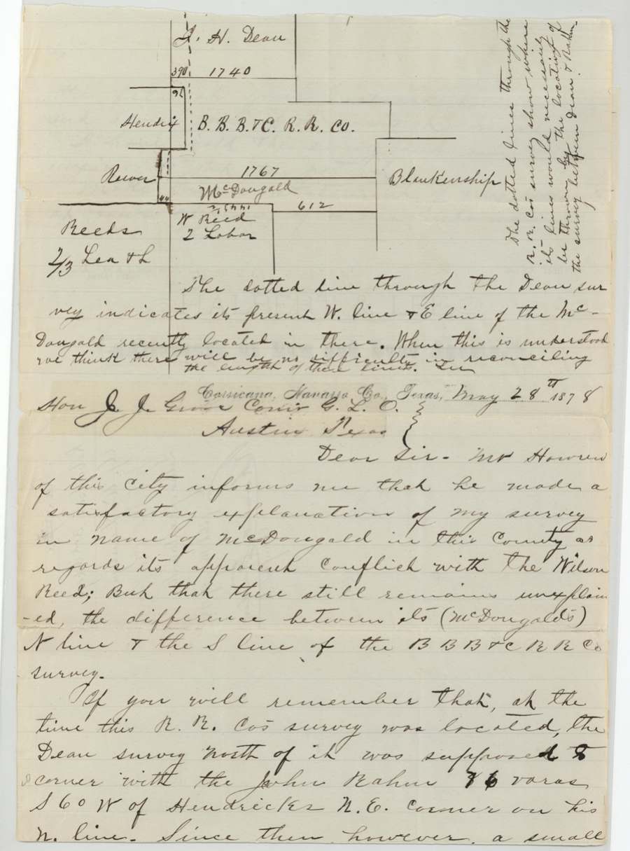
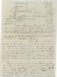 LetterLetter from Corsicana of 28 May 1878 to Land Commissioner J. J. Groos about the McDougald survey and its overlap with neighboring surveys, with a sketch.General Land Office, file 5509, page 46 · in the scan
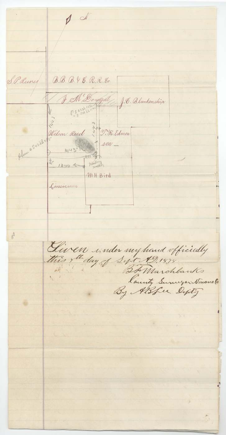
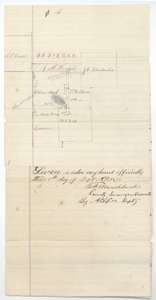 PlatSketch map and certified copies of field notes of the Edmondson, Wilson Reed and McDougald surveys, made by county surveyor B. F. Marchbanks, 7 September 1878.General Land Office, file 5509, page 47 · in the scan
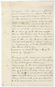 Field notesCertified copy of the Edmondson and McDougald field notes, made from the county surveyor's records in 1878.General Land Office, file 5509, page 48 · in the scan
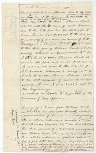 Field notesContinuation of the certified copies of the Edmondson, McDougald and Wilson Reed field notes.General Land Office, file 5509, page 49 · in the scan
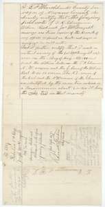 Surveyor's certificateCounty surveyor B. F. Marchbanks's certificate that the copied field notes are true, and that his August 1878 survey found 59 varas between two neighboring surveys.General Land Office, file 5509, page 50 · in the scan
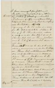 Field notesField notes of 25 August 1878 for the McDougald tract south-east of Corsicana, surveyed by the county surveyor's office.General Land Office, file 5509, page 51 · in the scan
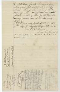 Surveyor's certificateDeputy surveyor's certificate of 15 September 1878 that the preceding page is a true copy of the corrected McDougald field notes on file, with docket.General Land Office, file 5509, page 52 · in the scan
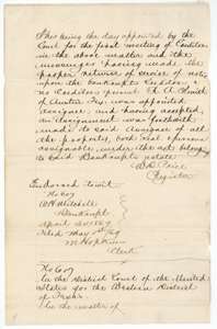 Other papersFirst page of a certified court transcript from 1869 about a Corsicana bankruptcy, filed in this file in 1879.General Land Office, file 5509, page 53 · in the scan
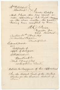 Other papersCourt register's certificate of 30 April 1869 appointing an assignee in the Corsicana bankruptcy, from the transcript.General Land Office, file 5509, page 54 · in the scan
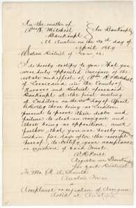 Other papersNotice of 30 April 1869 from the court register to the appointed assignee in the bankruptcy, from the transcript.General Land Office, file 5509, page 55 · in the scan
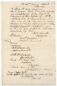 Other papersAssignee's acceptance of his appointment in the bankruptcy of 1869, with the clerk's certification of 26 March 1879.General Land Office, file 5509, page 56 · in the scan
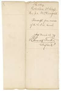 WrapperWrapper for the transcript from the United States District Court, filed 26 March 1879.General Land Office, file 5509, page 57 · in the scan
Scans courtesy of the Texas General Land Office, Austin, from its Land Grant Database.
Neighbouring surveys
Sources
- Texas General Land Office, Land Grant Database: Navarro County, Abstract 573
- The Land Office file, scanned (PDF, at the General Land Office)
- 1924 map: courtesy of the Texas General Land Office, Austin, Map 73249, used under licence. Topo: U.S. Geological Survey, The National Map. Aerial photographs: U.S. Department of Agriculture, National Agriculture Imagery Program, 2012, 2018 and 2022. Survey outlines: Railroad Commission of Texas, Original Texas Land Survey. Grant records and files: Texas General Land Office.