Blackland TX · ← All the original surveys
Adam Hulver Survey, Abstract 368
- Granted to
- Adam Hulver
- Kind of grant
- Headright, third classLand for later settlers, including the colonists of Mercer’s Colony.
- Land Office file
- Robertson 3rd class, file 541
- Certificate
- No. 278
- Acres
- 320
- Patented to
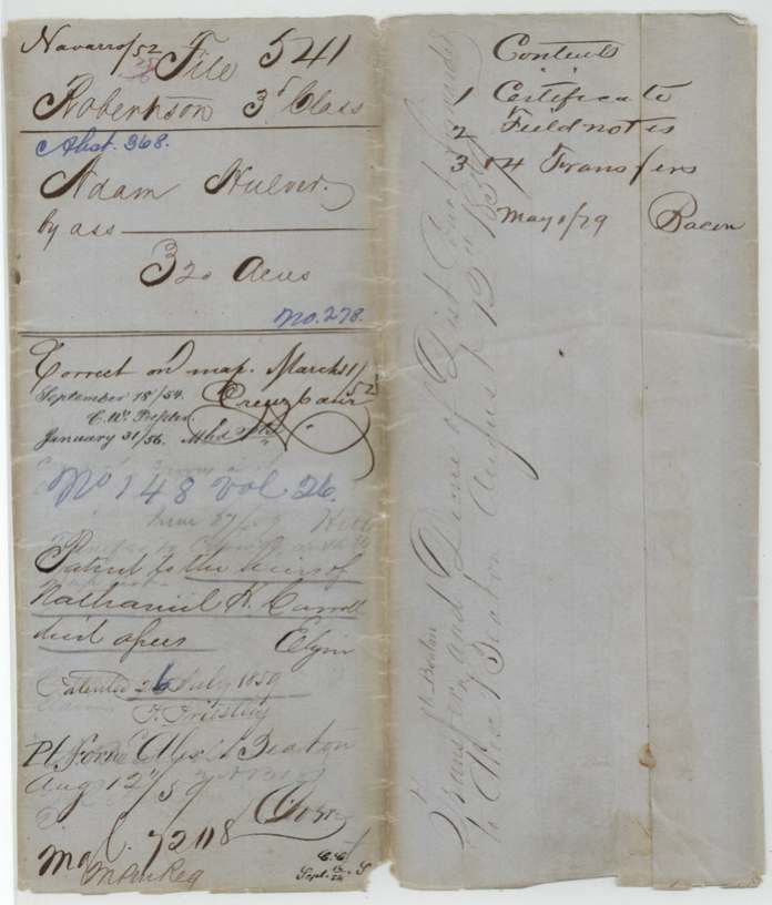
- Heirs of Nathaniel H. Carroll
- Patent
- 26 Jul 1859 · No. 148, Vol. 26
Tap a survey to open its page.
What the file shows
Adam Hulver received a 320-acre Mercer's Colony headright certificate (No. 250) from Commissioner John M. Crockett at Corsicana in April 1850, and in June 1850 David R. Mitchell surveyed it on Cottonwood branch of Richland Creek, about 10 miles southwest of Corsicana. Hulver, who signed by his mark, sold the certificate to Nathaniel H. Carroll for $25 in 1851 and signed a second deed to Carroll in 1853. The original certificate was taken out 'for a transfer' and lost, so the Commissioner of Claims issued a duplicate in June 1859. Carroll had died by then, and the patent issued to his heirs in July 1859 and was sent to Alexander Beaton.
The certificate
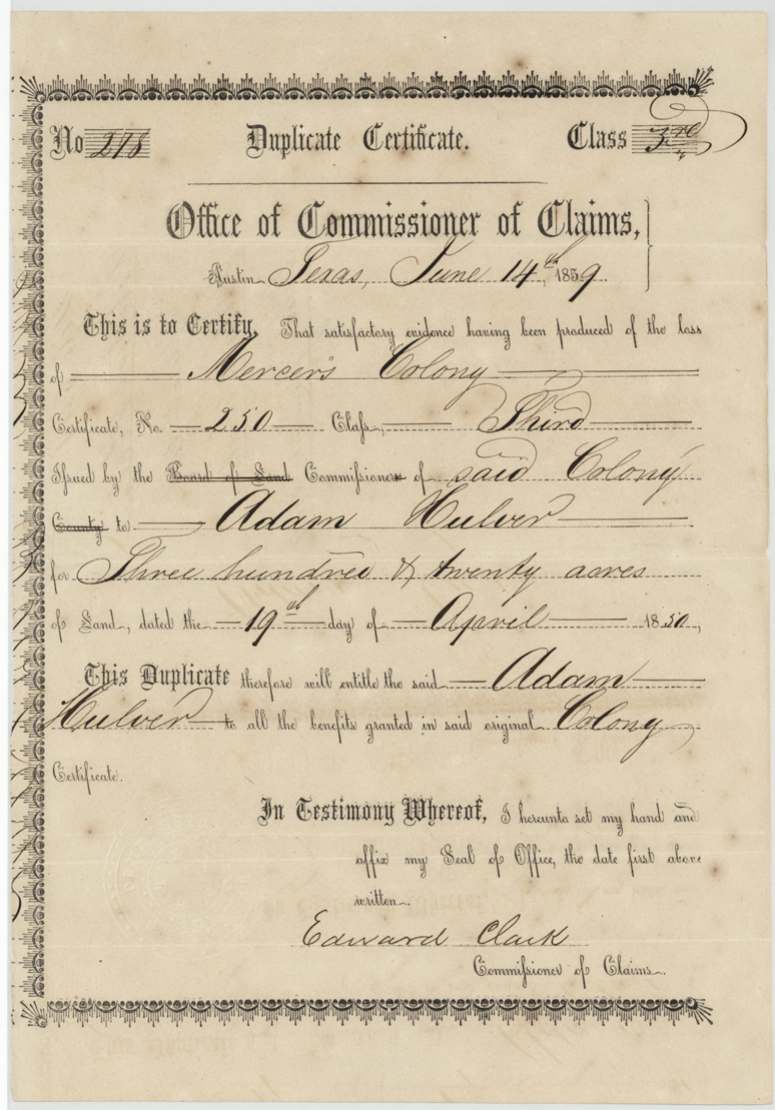
headright 3rd class (Mercer's Colony), No. 250 (original); duplicate No. 215(?), 320 acres, John M. Crockett, Commissioner for Mercer's Colony (original); Edward Clark, Commissioner of Claims (duplicate), Corsicana (original); Austin (duplicate), 1850-04-19 (original); 1859-06-14 (duplicate).
Adam Hulver's colony headright as a colonist in Mercer's Colony, third class; the duplicate was issued because 'satisfactory evidence' of the loss of the original was produced
Changes of hand
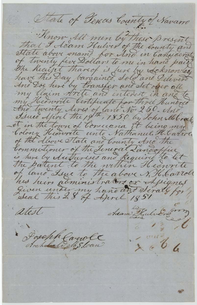
- 28 Apr 1851Adam Hulver (by his mark) → Nathaniel H. Carroll, $25, Navarro County. Transfers 'my Hedwrite certificate' No. 250 issued 19 Apr 1850 by John M. Crockett in the town of Corsicana, and asks that patent issue to Carroll
- 1853 (day and month left blank)Adam Hulver (by his mark) → Nathaniel H. Carroll, $30, Navarro County. A second deed for the same 320-acre headright; certificate number and date left blank
The survey
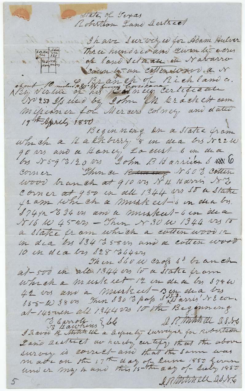
1850-06-17 (certified 1850-07-15), David R. Mitchell, Deputy Surveyor, Navarro County (Robertson Land District).
Navarro County on Cottonwood, a north branch of Richland Creek, 'about 10 miles S 80 W from Corsicana' (added)
Chain carriers: E. Carroll, E.(?) Hawkins.
Book I, page 256 (13 Feb 1851)
The patent
1859-07-25 (jacket); wrapper reads 26 July 1859 with the 5 altered to 6, No. 148 Vol. 26, to the heirs of Nathaniel H. Carroll, deceased, assignees, delivered to Patent forwarded to Alexr. Beaton, Aug 12/59.
Also in the file
- Adam Hulver, who signed by mark, sold the same headright to Nathaniel H. Carroll twice — for $25 in 1851 and again for $30 in 1853 — probably to cure a defect in the first deed.
- The original certificate was taken out of the surveyor's office 'for a transfer' with a promise to return it, and was lost; a duplicate had to be issued in 1859.
- A district court decree was involved (sent to Alexander Beaton in 1859) but is not in the file.
- Carroll died before the patent issued, so it went to his heirs.
- Chain carrier E. Carroll and witness Joseph Carroll suggest the buyer's family was involved from the survey onward.
Timeline
- 19 Apr 1850John M. Crockett, Mercer's Colony commissioner, issues Adam Hulver 320-acre certificate No. 250 at Corsicana
- 17 Jun 1850David R. Mitchell surveys the land on Cottonwood branch of Richland Creek
- 13 Feb 1851Field notes recorded, Book I p. 256
- 28 Apr 1851Hulver transfers the certificate to Nathaniel H. Carroll for $25
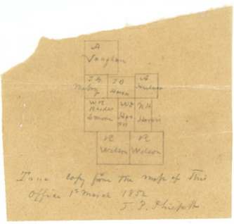
- 1 Mar 1852Tracing made from the district map
- 1853Hulver signs a second transfer to Carroll for $30
- 17 Jul 1854Second transfer proved before notary Alexander Beaton at Corsicana
- 14 Jun 1859Commissioner of Claims Edward Clark issues a duplicate certificate after proof of loss
- 25 Jul 1859Patent No. 148 Vol. 26 issued to the heirs of Nathaniel H. Carroll
- 12 Aug 1859Patent, transfer and district-court decree forwarded to Alexander Beaton
The papers in the file
Every page of the Land Office file, in the order the Land Office keeps them (11 pages). Tap a page to see it larger.
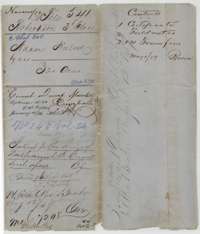 File jacketFile jacket for Adam Hulver's 320 acres in Navarro County, Robertson 3rd Class, with the patent entry of July 1859 to the heirs of Nathaniel H. Carroll.General Land Office, file 541, page 1 · in the scan
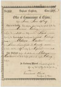 CertificateDuplicate Mercer's Colony certificate for Adam Hulver, 320 acres, issued at Austin on 14 June 1859 by Commissioner of Claims Edward Clark.General Land Office, file 541, page 2 · in the scan
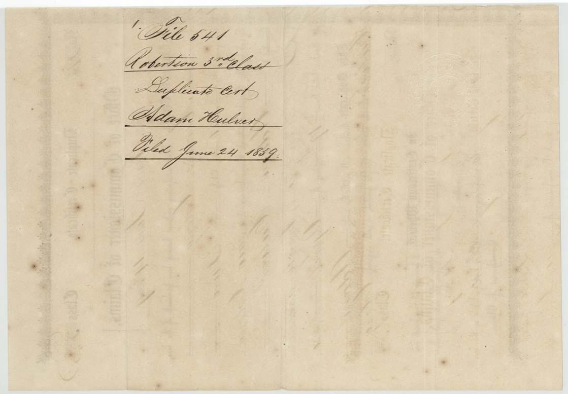
 Back of the certificateBack of the duplicate certificate, marked File 541, Robertson 3rd Class, and filed 24 June 1859.General Land Office, file 541, page 3 · in the scan
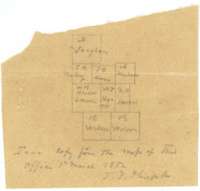 MapSmall tracing copied from the Land Office map of 1 March 1852, showing the Hulver tract among its neighbouring surveys.General Land Office, file 541, page 4 · in the scan
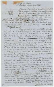 Field notesField notes and sketch of 320 acres on Cottonwood Branch of Richland Creek, Navarro County, surveyed for Adam Hulver by deputy surveyor David R. Mitchell, 17 June 1850.General Land Office, file 541, page 5 · in the scan
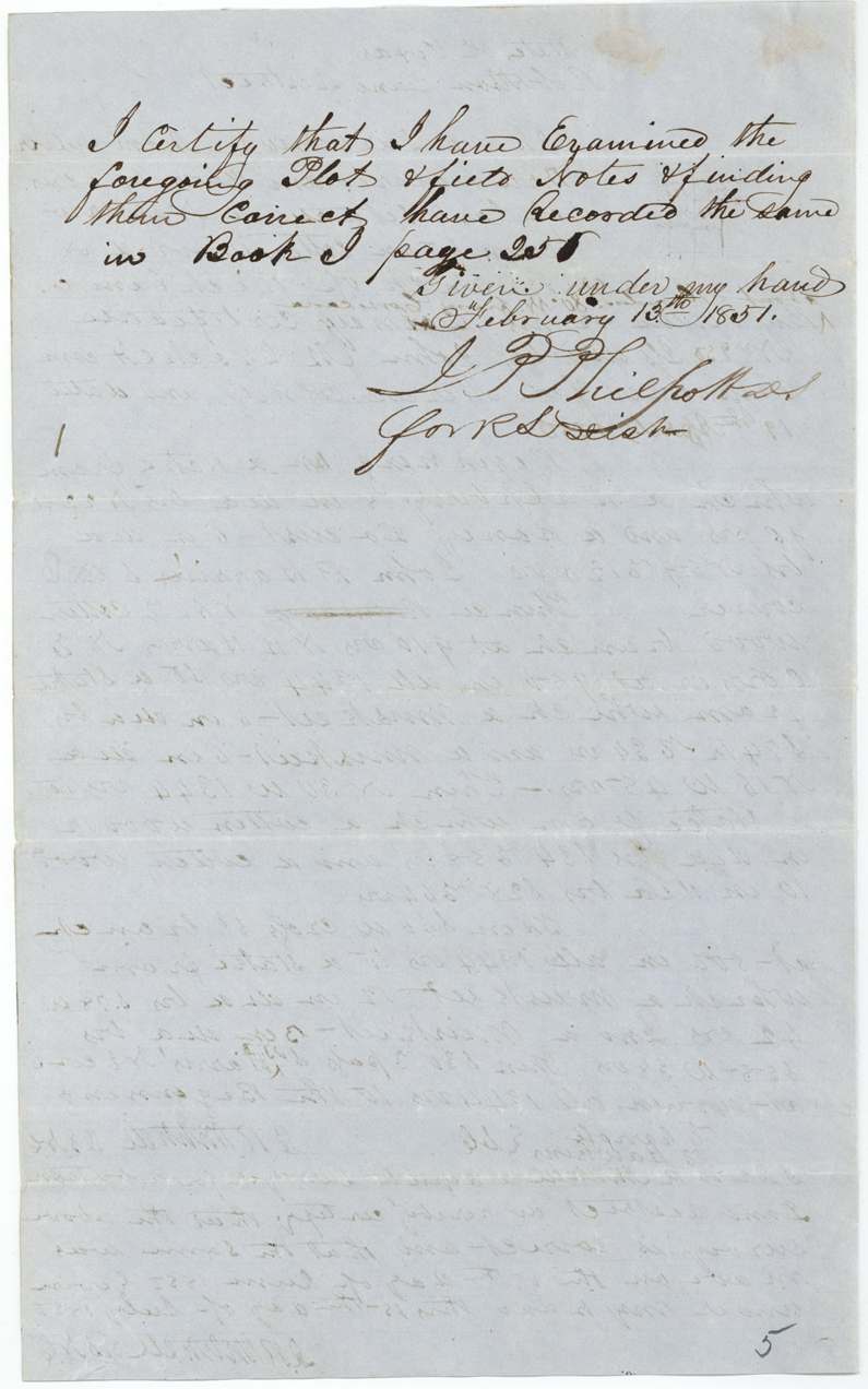
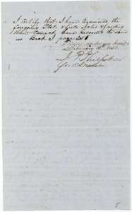 Surveyor's certificateDistrict surveyor J. P. Philpott's certificate that he examined the Hulver field notes and recorded them in Book I, page 256, February 1851.General Land Office, file 541, page 6 · in the scan
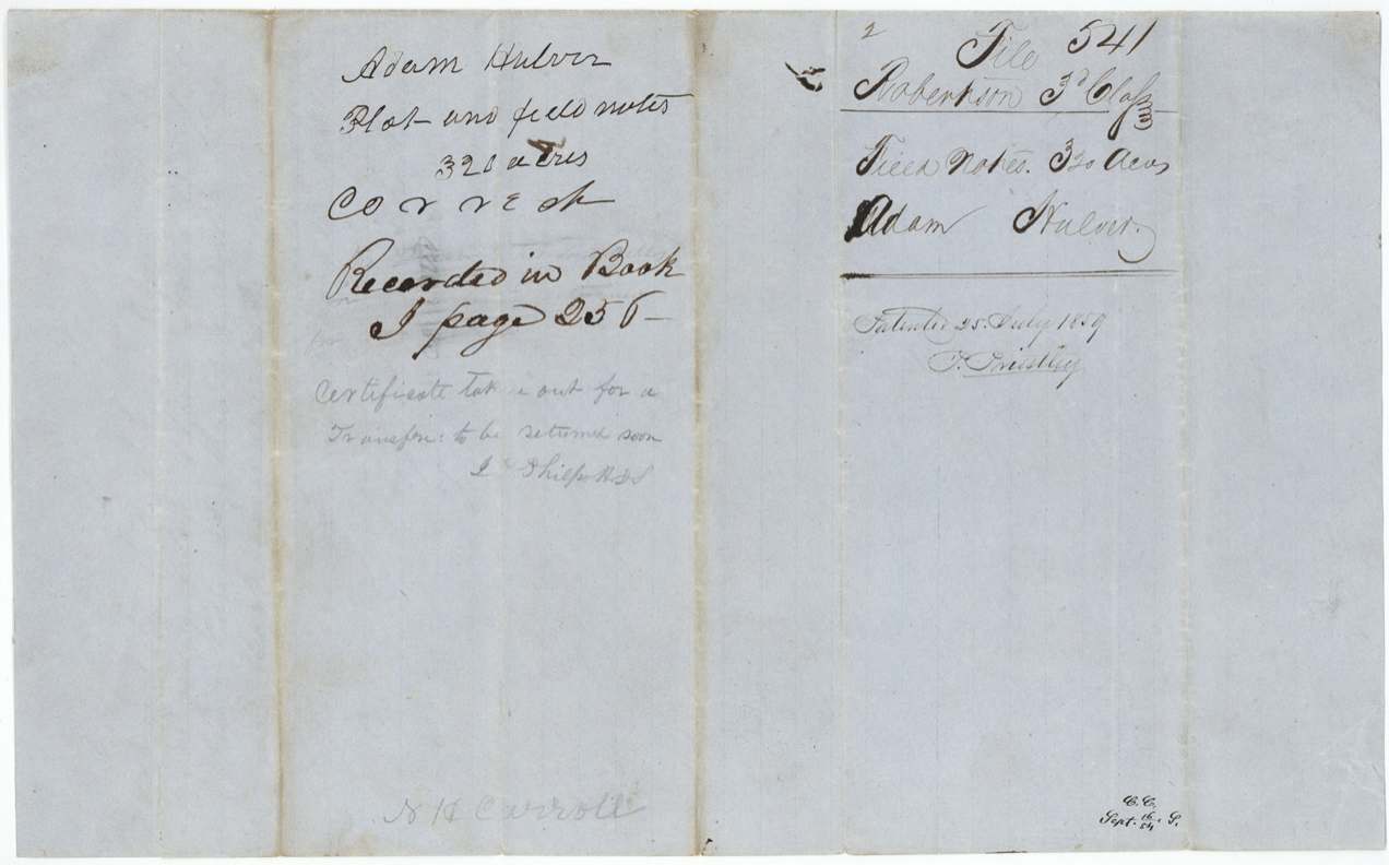
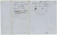 WrapperWrapper for the Hulver plat and field notes, noting their record in Book I, page 256, and a pencil note that the certificate was out for a transfer.General Land Office, file 541, page 7 · in the scan
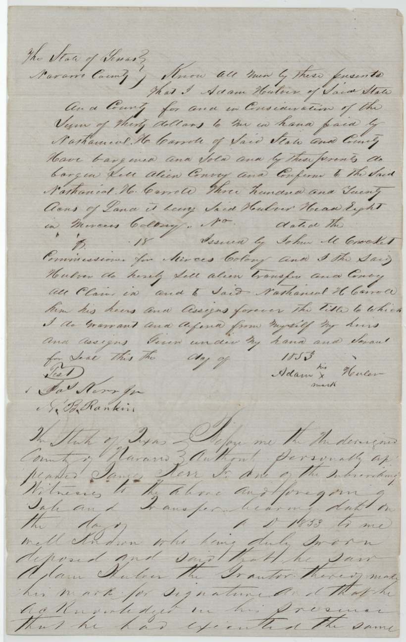
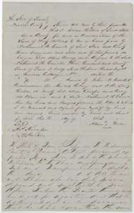 TransferDeed in which Adam Hulver sells his 320-acre Mercer's Colony headright to Nathaniel H. Carroll for $30.General Land Office, file 541, page 8 · in the scan
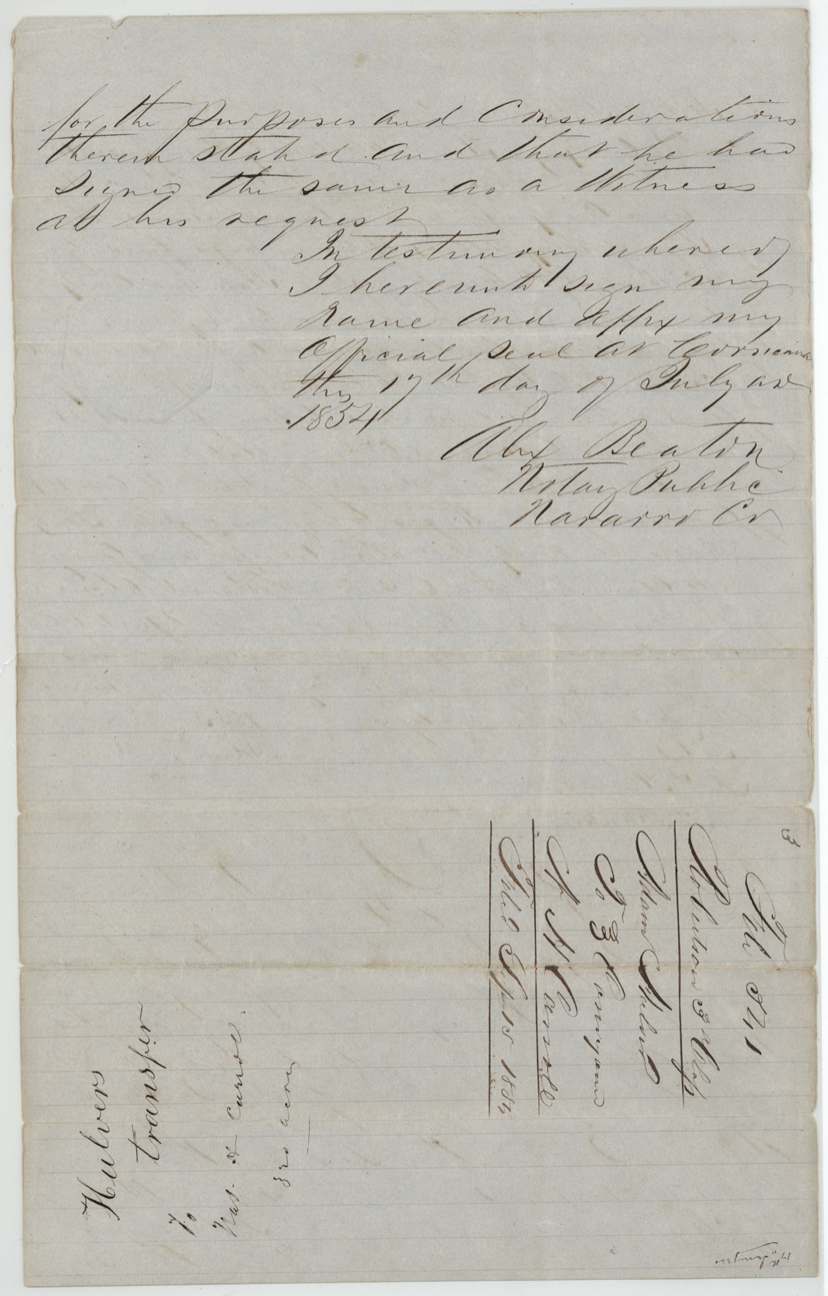
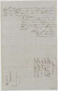 TransferSecond page of the 1853 deed, with the notary's proof of 17 July 1854 at Corsicana, and a docket for the Hulver transfer.General Land Office, file 541, page 9 · in the scan
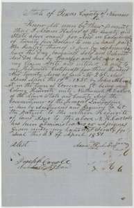 TransferDeed of 28 April 1851 in which Adam Hulver, by his mark, sells his headright certificate for 320 acres to Nathaniel H. Carroll for $25.General Land Office, file 541, page 10 · in the scan
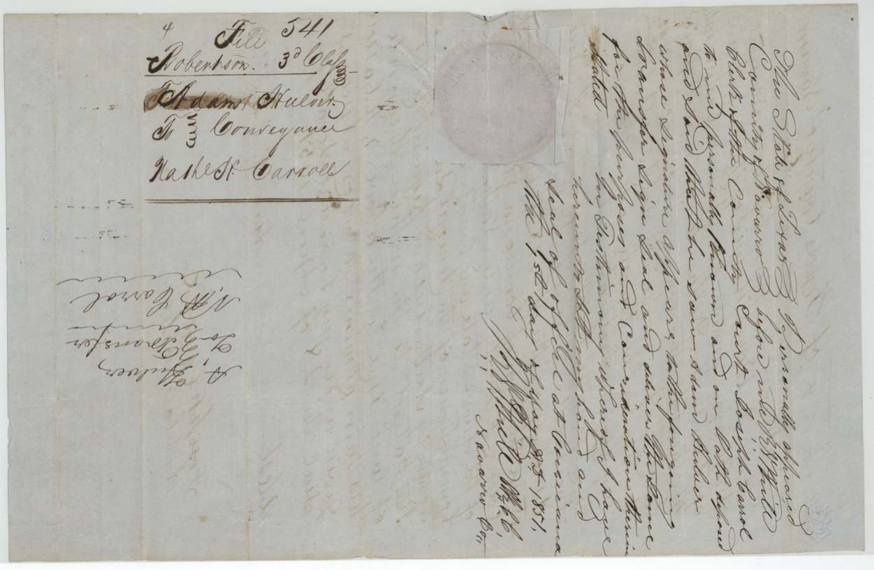
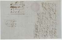 WrapperWrapper for the 1851 conveyance to Nathaniel H. Carroll, with the county clerk's proof of the deed at Corsicana.General Land Office, file 541, page 11 · in the scan
Scans courtesy of the Texas General Land Office, Austin, from its Land Grant Database.
Neighbouring surveys
Sources
- Texas General Land Office, Land Grant Database: Navarro County, Abstract 368
- The Land Office file, scanned (PDF, at the General Land Office)
- 1924 map: courtesy of the Texas General Land Office, Austin, Map 73249, used under licence. Topo: U.S. Geological Survey, The National Map. Aerial photographs: U.S. Department of Agriculture, National Agriculture Imagery Program, 2012, 2018 and 2022. Survey outlines: Railroad Commission of Texas, Original Texas Land Survey. Grant records and files: Texas General Land Office.