Blackland TX · ← All the original surveys
W. W. Speed Survey, Abstract 783
- Granted to
- W. W. Speed
- Kind of grant
- Bounty warrantLand paid for service in the army of the Republic.
- Land Office file
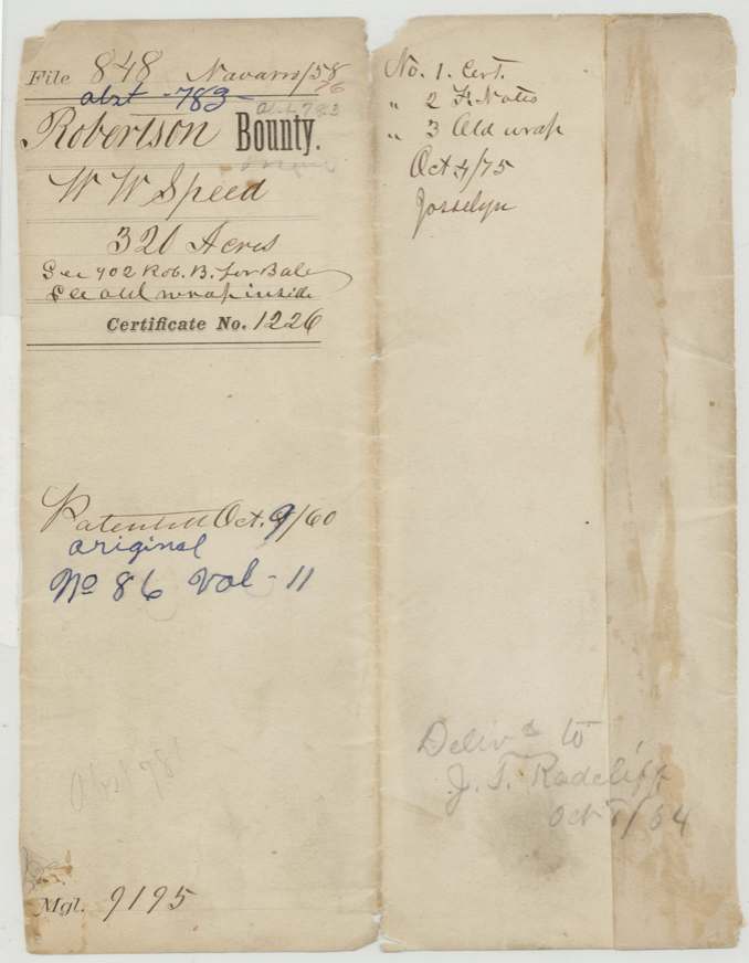
- Robertson Bounty, file 848
- Certificate
- No. 1226
- Acres
- 320
- Patented to
- W. W. Speed
- Patent
- 09 Oct 1860 · No. 86, Vol. 11
Tap a survey to open its page.
What the file shows
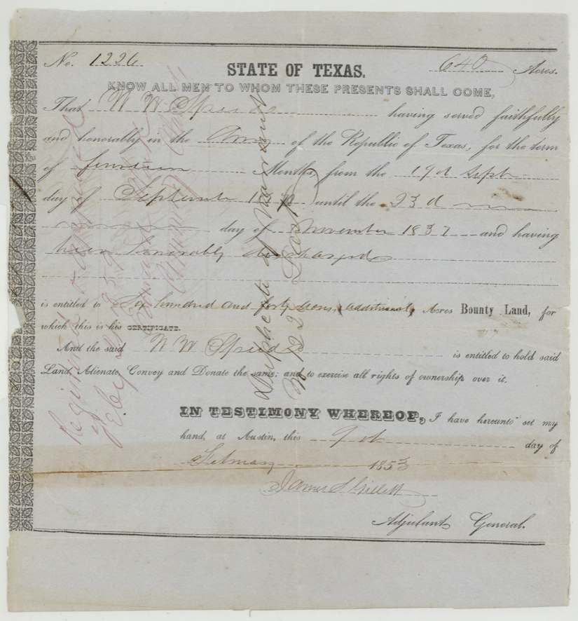
W. W. Speed served fourteen months in the Army of the Republic of Texas, from 17 September 1836 to 23 November 1837, and on 9 February 1853 Adjutant General James S. Gillett issued him bounty warrant No. 1226 for 640 acres (marked 'additional'). J. Milton Wright surveyed 320 acres of it on Cottonwood Creek west of Corsicana, adjoining A. Vaughn's 640, on 29 April 1857, recorded in Book R p.262. A note on the old wrap records a sheriff's deed to D. F. Garrett in 1858, but the patent (No. 86, Vol. 11) issued on 8 October 1860 to Speed himself and was delivered to J. T. Radcliff in October 1864. The other 320 acres are in file 902 Robertson Bounty.
The certificate
bounty, No. 1226, 640 (this file covers 320; jacket: 'See 902 Rob. B. for bal.'), James S. Gillett, Adjutant General, Austin, 9 Feb 1853.
Printed State of Texas bounty form: W. W. Speed (Jr.?) 'having served faithfully and honorably in the Army of the Republic of Texas, for the term of fourteen months, from the 17th Sept. day of September 183[6?] until the 23d day of November 1837, and having been honorably discharged, is entitled to Six hundred and forty acres (additional) acres Bounty Land.'
The survey
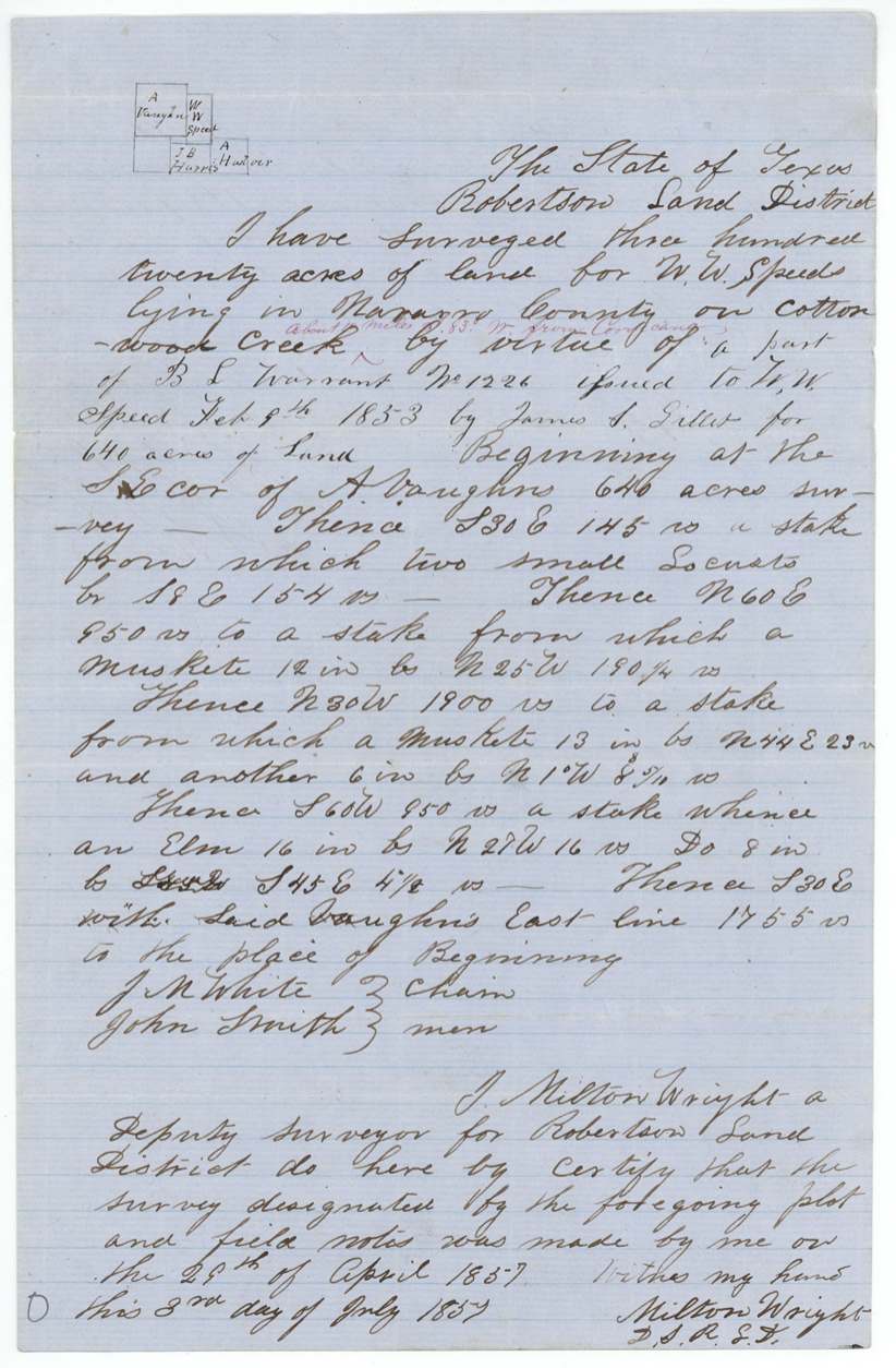
29 Apr 1857, J. Milton Wright.
Robertson Land District, Navarro County, on Cottonwood Creek, about 1[1?] miles S 83 W from Corsicana (red-ink interlineation). Begins at the SE corner of A. Vaughn's 640-acre survey; S30E 145 vrs; N60E 950 vrs; N30W 1900 vrs; S60W 950 vrs; S30E with said Vaughn's east line 1755 vrs to beginning.
Chain carriers: J. M. White, John Smith.
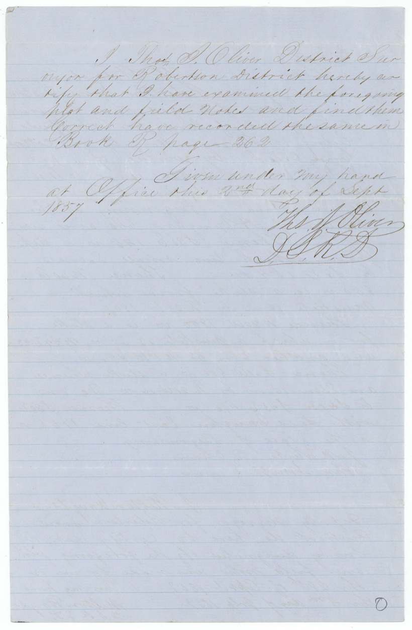
Book R page 262
The patent
8 Oct 1860, No. 86, Vol. 11, to W. W. Speed (original grantee), delivered to J. T. Radcliff, Oct 1?/64.
Also in the file
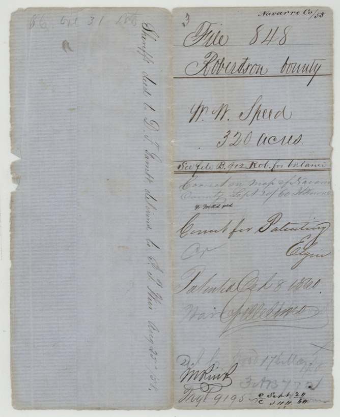
- A sheriff's deed to D. F. Garrett is noted in 1858, yet the patent issued in 1860 to W. W. Speed himself, not to an assignee.
- Patent not delivered until October 1864 (to J. T. Radcliff), during the Civil War.
- Bounty for 1836-37 service issued only in 1853; marked '(additional)'.
- Grantee name may carry 'Jr.' on the certificate; jacket says simply W. W. Speed.
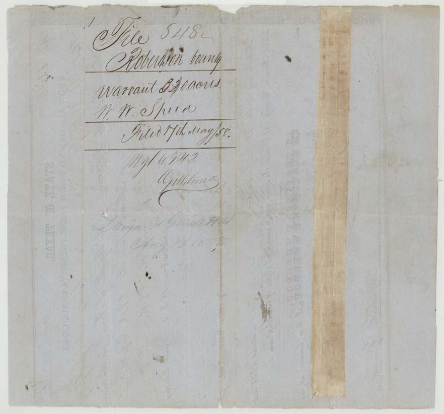
- Surveyed in 1857 but not filed in the GLO until May 1858.
Timeline
- 17 Sep 1836W. W. Speed begins 14 months' service in the Army of the Republic of Texas (year partly overwritten)
- 23 Nov 1837Service ends; honorably discharged
- 9 Feb 1853Adjutant General James S. Gillett issues bounty warrant No. 1226 for 640 acres (additional) at Austin
- 29 Apr 1857J. Milton Wright surveys 320 acres on Cottonwood Creek adjoining A. Vaughn (carriers J. M. White, John Smith)
- 2 Sep 1857Recorded Book R p.262
- 17 May 1858Warrant and field notes filed in GLO
- 25 Aug 1858Sheriff's deed to D. F. Garrett delivered (note on wrap)
- 20 Sep 1860Correct on map of Navarro County
- 8 Oct 1860Patent No. 86 Vol. 11 to W. W. Speed
- Oct 1864Patent delivered to J. T. Radcliff
The papers in the file
Every page of the Land Office file, in the order the Land Office keeps them (7 pages). Tap a page to see it larger.
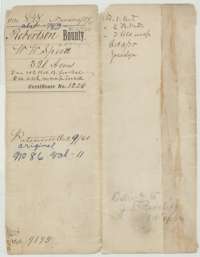 File jacketFile jacket for W. W. Speed's 320 acres in Navarro County, Robertson Bounty, with the patent entry of 9 October 1860.General Land Office, file 848, page 1 · in the scan
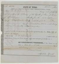 CertificateBounty land warrant No. 1226 for 640 acres, issued at Austin on 9 February 1853 to W. W. Speed for service in the Army of the Republic of Texas.General Land Office, file 848, page 2 · in the scan
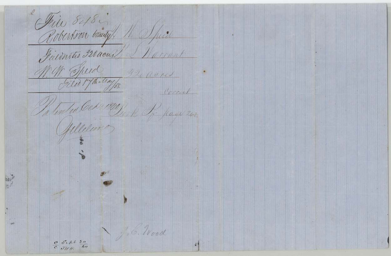
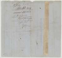 Back of the certificateBack of the Speed warrant, marked File 848, Robertson Bounty, 320 acres, and filed 17 May 1858.General Land Office, file 848, page 3 · in the scan
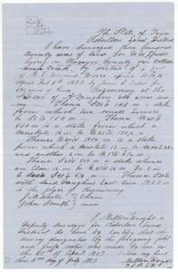 Field notesField notes and sketch of 320 acres on Cottonwood Creek, Navarro County, surveyed for W. W. Speed by deputy surveyor J. Milton Wright, 29 April 1857.General Land Office, file 848, page 4 · in the scan
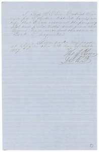 Surveyor's certificateDistrict surveyor Thomas J. Oliver's certificate of 2 September 1857 that the Speed field notes are correct and recorded in Book R, page 262.General Land Office, file 848, page 5 · in the scan
 WrapperWrapper for the Speed field notes, filed 17 May 1858, with the October 1860 patent entry.General Land Office, file 848, page 6 · in the scan
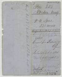 WrapperBack wrapper of the Speed file, marked File 848, Robertson County, 320 acres, correct for patenting, with the October 1860 patent entry.General Land Office, file 848, page 7 · in the scan
Scans courtesy of the Texas General Land Office, Austin, from its Land Grant Database.
Neighbouring surveys
Sources
- Texas General Land Office, Land Grant Database: Navarro County, Abstract 783
- The Land Office file, scanned (PDF, at the General Land Office)
- 1924 map: courtesy of the Texas General Land Office, Austin, Map 73249, used under licence. Topo: U.S. Geological Survey, The National Map. Aerial photographs: U.S. Department of Agriculture, National Agriculture Imagery Program, 2012, 2018 and 2022. Survey outlines: Railroad Commission of Texas, Original Texas Land Survey. Grant records and files: Texas General Land Office.