Blackland TX · ← All the original surveys
Joseph B. Park Survey, Abstract 666
- Granted to
- Joseph B. Park
- Kind of grant
- Donation warrantLand given for the battles of 1835–36: Bexar, the Alamo, San Jacinto.
- Land Office file
- Robertson Donation, file 779
- Certificate
- No. 649
- Acres
- 640
- Patented to
- Joseph B. Park
- Patent
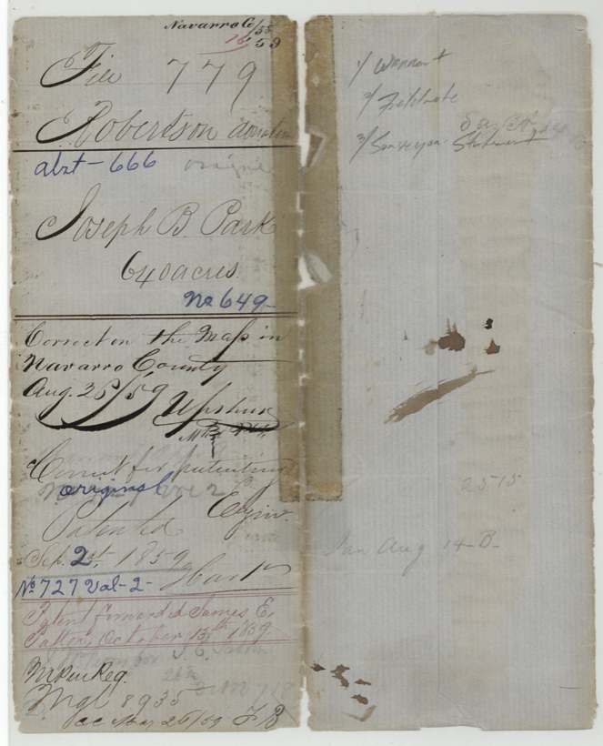
- 02 Sep 1859 · No. 727, Vol. 2
Tap a survey to open its page.
What the file shows
Joseph B. Park received donation certificate No. 649 for 640 acres in December 1854 from Adjutant General James S. Gillett because he took part in the Battle of San Jacinto. Deputy Surveyor Milton Wright located it in May 1857 on the waters of Briar Creek about 8 miles west of Corsicana, with John Smith and J. E. Patton carrying chain. No transfer is recorded, and the land was patented to Park himself on September 1, 1859. The patent was sent to James E. Patton in October 1859.
The certificate
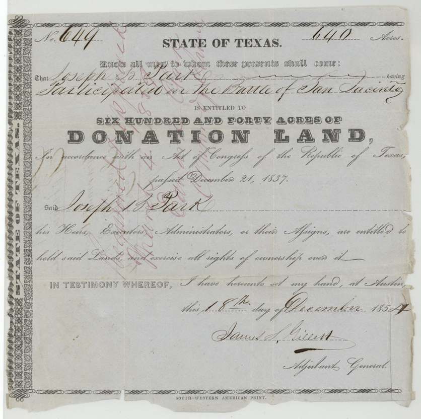
donation, No. 649, 640 acres, James S. Gillett, Adjutant General, Austin, 1854-12-18 (last digit of the year is overwritten on the printed form; the field notes say 1854).
Joseph B. Park 'having participated in the Battle of San Jacinto', under the Act of Congress of the Republic of Texas of December 21, 1837
The survey
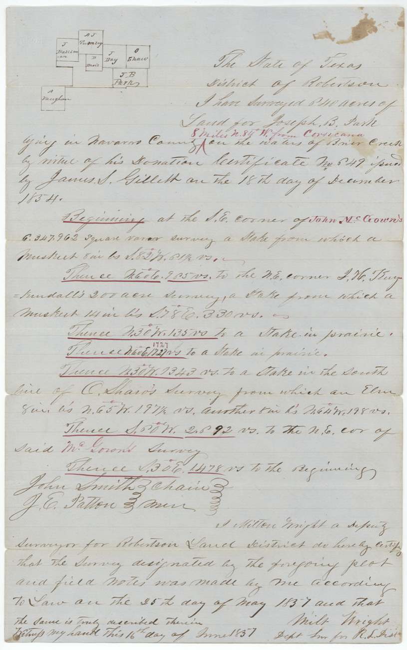
1857-05-25 (certified 1857-06-16), Milton Wright, Deputy Surveyor, Robertson Land District.
Navarro County, '8 miles N 84 W from Corsicana' (added in red), on the waters of Briar Creek
Chain carriers: John Smith, J. E. Patton.
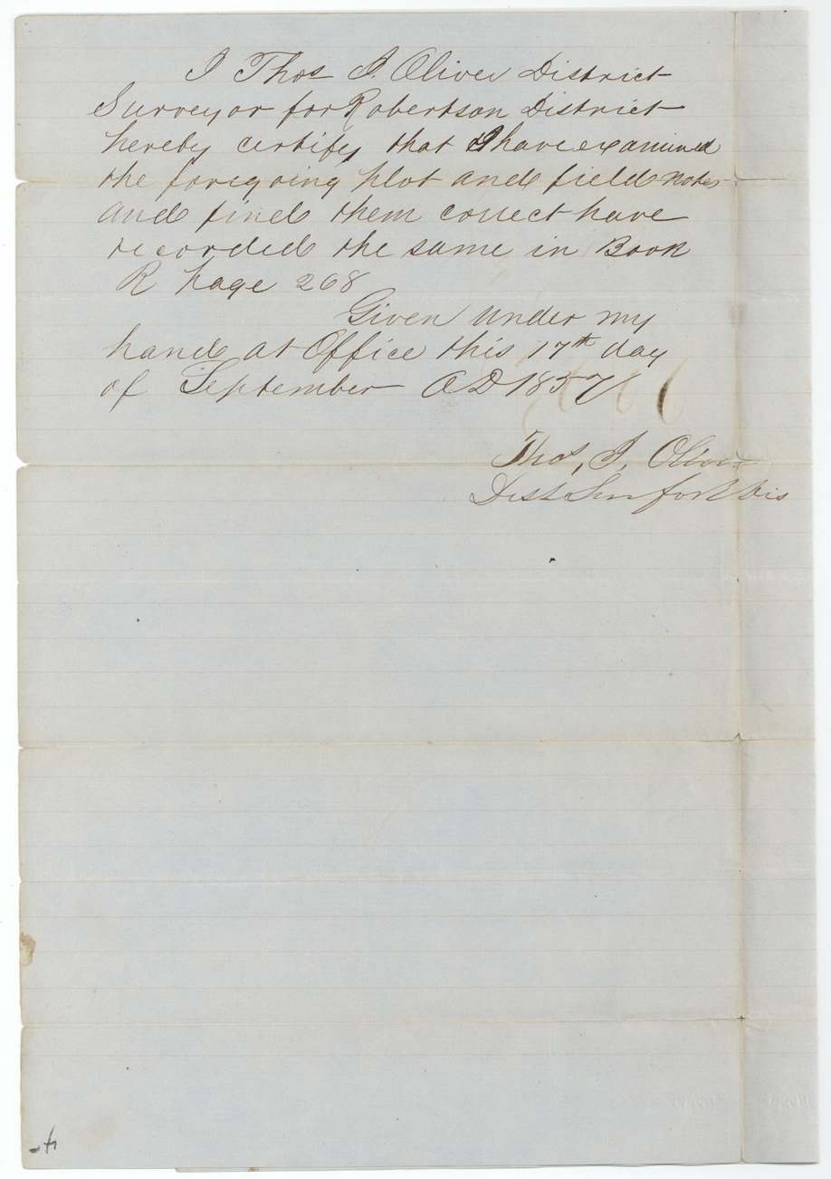
Book R, page 268 (17 Sept 1857)
The patent
1 Sep 1859, No. 727 Vol. 2, to Joseph B. Park, delivered to Patent forwarded to James E. Patton, October 13th 1859.
Also in the file
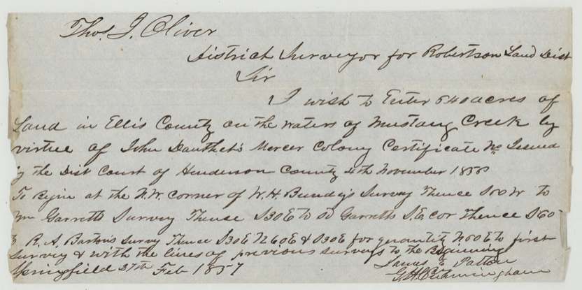
- The only non-Park paper in the file is James E. Patton's 1857 application to enter land in Ellis County on a different man's Mercer Colony certificate — it seems to have been filed here by mistake or because Patton handled both.
- J. E. Patton carried chain on the Park survey and the finished patent was sent to James E. Patton, not to Park himself.
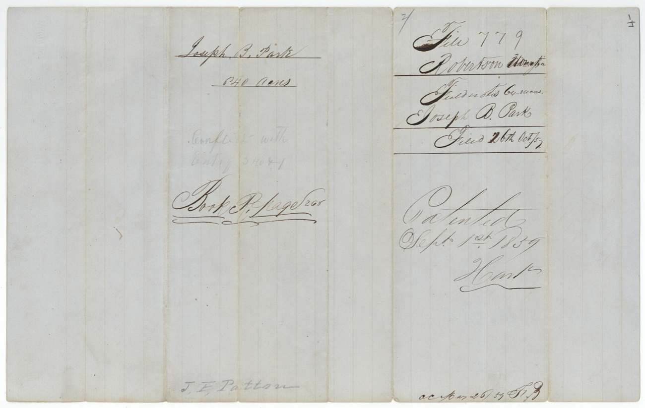
- A pencil note on the field-notes jacket says the survey conflicted with an entry numbered 3404(?).
- The land office noted 'no transfer', meaning Park was still the owner of record, though an agent collected the patent.
Timeline
- 18 Dec 1854Adjutant General James S. Gillett issues donation certificate No. 649 to Joseph B. Park for service at San Jacinto
- 27 Feb 1857James E. Patton applies at Springfield to enter Ellis County land on another certificate (paper found in this file)
- 25 May 1857Milton Wright surveys 640 acres on Briar Creek waters, 8 miles west of Corsicana
- 17 Sep 1857Field notes recorded, Book R p. 268
- 26 Oct 1857Certificate and field notes filed in the GLO
- 25 Aug 1859Checked correct on Navarro County map
- 1 Sep 1859Patent No. 727 Vol. 2 issued to Joseph B. Park
- 13 Oct 1859Patent forwarded to James E. Patton
The papers in the file
Every page of the Land Office file, in the order the Land Office keeps them (8 pages). Tap a page to see it larger.
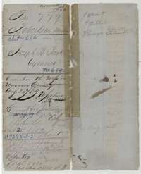 File jacketFile jacket for Joseph B. Park's 640-acre San Jacinto donation, with patent and map-check notes of 1859.General Land Office, file 779, page 1 · in the scan
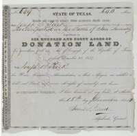 CertificateDonation certificate No. 649 of 18 December 1854 awarding Joseph B. Park 640 acres for taking part in the Battle of San Jacinto.General Land Office, file 779, page 2 · in the scan
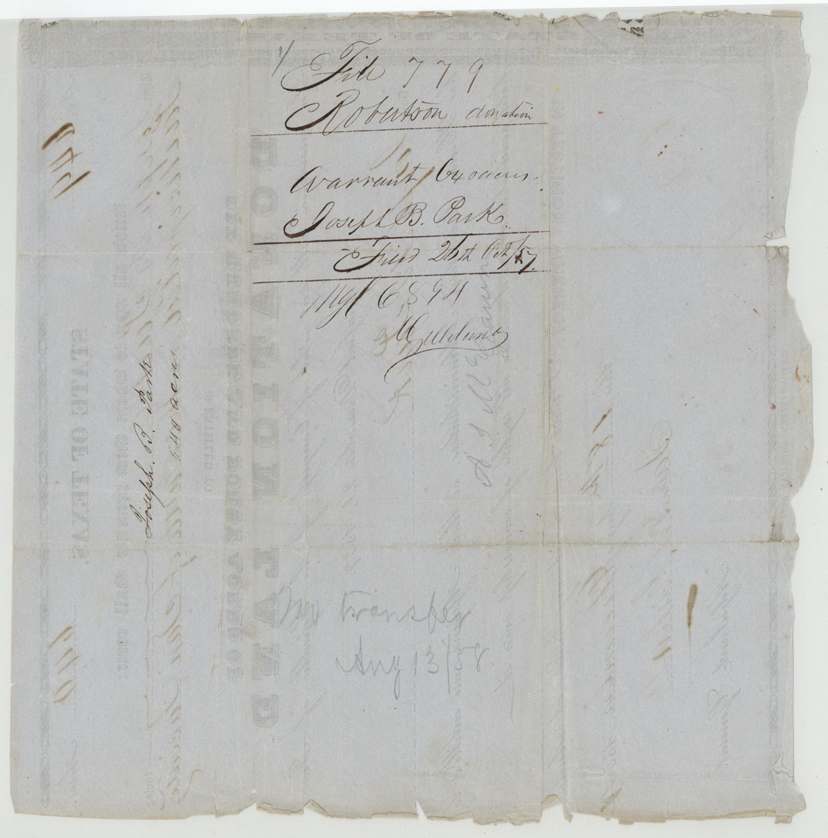
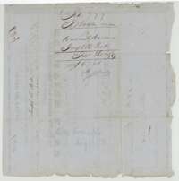 Back of the certificateBack of the donation certificate, with the Land Office filing notes of October 1857 and August 1858.General Land Office, file 779, page 3 · in the scan
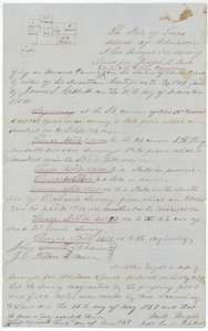 Field notesField notes of 640 acres on Briar Creek surveyed for Joseph B. Park by deputy surveyor Milton Wright, 25 May 1857, with plat.General Land Office, file 779, page 4 · in the scan
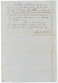 Surveyor's certificateDistrict Surveyor Thos. J. Oliver's certificate of 17 September 1857 that the Park field notes were examined and recorded in Book R.General Land Office, file 779, page 5 · in the scan
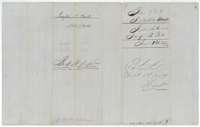 WrapperFiling wrapper for the Park field notes, with the patent note of 1 September 1859.General Land Office, file 779, page 6 · in the scan
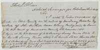 LetterApplication of 27 February 1857 by James E. Patton to District Surveyor Thos. J. Oliver to enter 640 acres in Ellis County on Mustang Creek.General Land Office, file 779, page 7 · in the scan
 WrapperSmall slip with a Robertson County file number.General Land Office, file 779, page 8 · in the scan
Scans courtesy of the Texas General Land Office, Austin, from its Land Grant Database.
Neighbouring surveys
Sources
- Texas General Land Office, Land Grant Database: Navarro County, Abstract 666
- The Land Office file, scanned (PDF, at the General Land Office)
- 1924 map: courtesy of the Texas General Land Office, Austin, Map 73249, used under licence. Topo: U.S. Geological Survey, The National Map. Aerial photographs: U.S. Department of Agriculture, National Agriculture Imagery Program, 2012, 2018 and 2022. Survey outlines: Railroad Commission of Texas, Original Texas Land Survey. Grant records and files: Texas General Land Office.