Blackland TX · ← All the original surveys
Orsen Shaw Survey, Abstract 778
- Granted to
- Orsen Shaw
- Kind of grant
- Bounty warrantLand paid for service in the army of the Republic.
- Land Office file
- Robertson Bounty, file 431
- Certificate
- No. 4410
- Acres
- 640
- Patented to
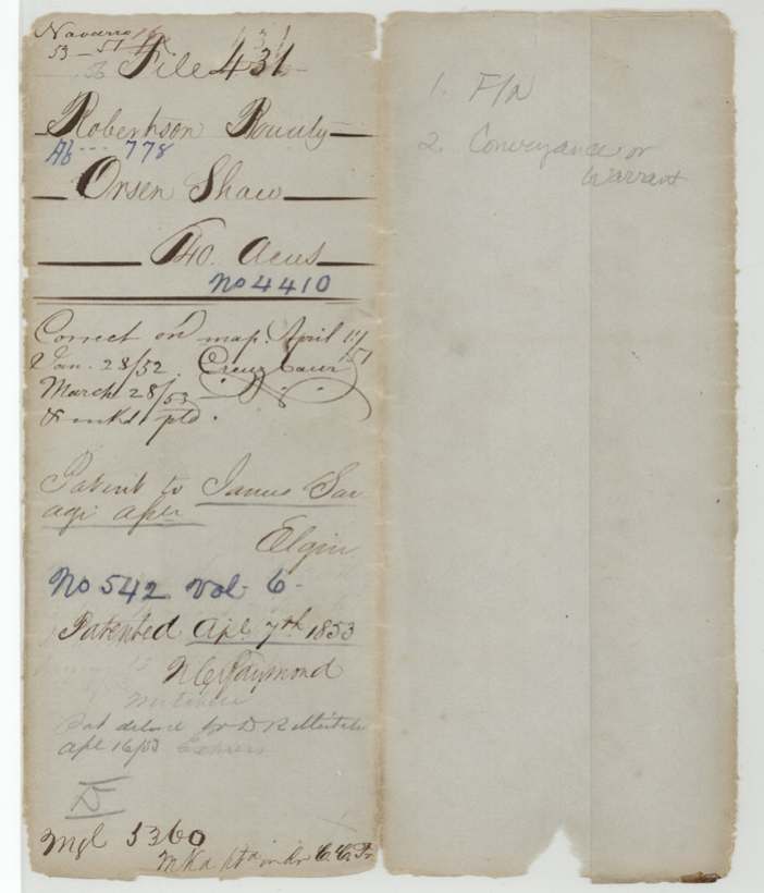
- James Savage
- Patent
- 07 Apr 1853 · No. 542, Vol. 6
Tap a survey to open its page.
What the file shows
Orson Shaw served six months in the Texas army from July 1836 to January 1837 and was issued bounty certificate No. 4410 for 640 acres at Houston on 9 November 1838. Four days later he transferred it to James Savage before a Harrisburg County justice of the peace. The land was surveyed on Briar Creek, a branch of Chambers Creek in Navarro County about 7 1/2 miles west-northwest of Corsicana, adjoining Appleton Gay's survey, and recorded in 1848. After the certificate was approved in 1851 and the old transfer re-proved in 1853, the patent issued to James Savage as assignee on 7 April 1853.
The certificate
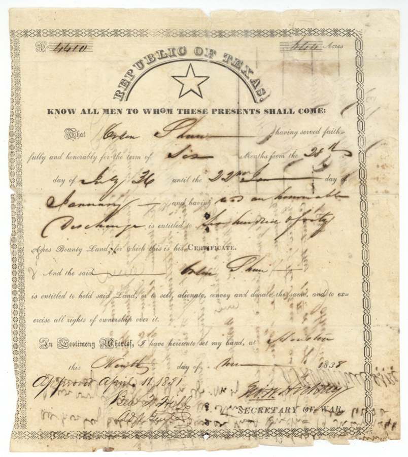
bounty, No. 4410, 640 acres, G. W. Hockley, Secretary of War, Republic of Texas (printed form); approved April 11, 1851 by Geo.(?) F.(?) Hill(?), Adjt. Genl., Houston, 1838-11-09 ('Ninth day of Nov.' 1838; field notes confirm 9 November 1838).
Orson Shaw served faithfully and honorably for six months, from 28 July 1836 until 22 January [1837], and received an honorable discharge.
Changes of hand
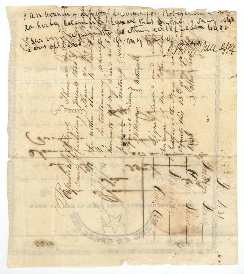
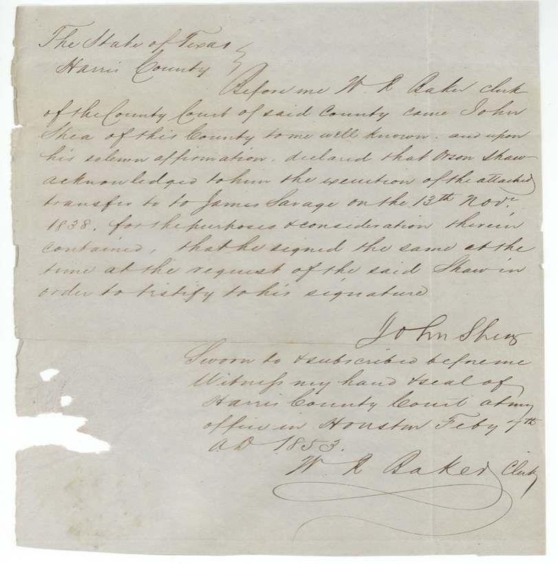
- 13 Nov 1838Orson Shaw → James Savage (possibly 'James Savage Jr.' (?)), not stated, County of Harrisburg, Republic of Texas. Endorsed on the back of the certificate: 'I, Orson Shaw, do hereby transfer the within claim to James Savage.' On 1853-02-07 at Houston, John Shea of Harris County affirmed before W. R. Baker, Clerk of the County Court, that Shaw acknowledged the transfer to him on 13 Nov 1838 and that he signed at Shaw's request to testify to his signature.
The survey
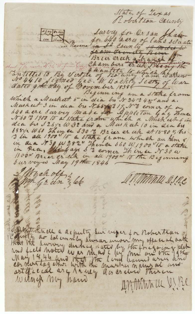
1846-05-19 (field notes and surveyor's oath say 19 May 1846; endorsement on certificate back reads 19 May 1848(?)), J. R.(?) Mitchell, Deputy Surveyor Robertson County (D.S.R.C.).
Navarro County (inserted; '18 miles W. from Trinity River' struck out), on Briar Creek, a branch of Chambers Creek; office note in red: 'about 7 1/2 miles N. 74 W. from Corsicana'
Chain carriers: J. Wyckoff(?), Wm. Green.
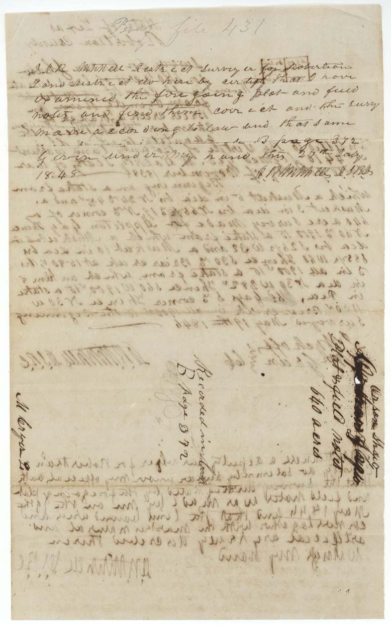
Book B, page 372
The patent
7 Apr 1853, No. 542, Vol. 6, to James Savage, assignee, delivered to D. R.(?) Mitchell, 16 Apr 1853 (pencil, 'Express'(?)).
Also in the file
- The survey year reads 1846 in the field notes and oath but 1848 in the note written on the certificate; the recording is dated July 1848.
- The field notes first placed the land '18 miles west from Trinity River' in an unnamed county; this was struck out and 'in Navarro' written in.
- Another name appears to have been written on the field-notes jacket and inked out, with 'Orson Shaw' written above it.
- Nearly fifteen years passed between Shaw's sale of the warrant (1838) and the patent (1853); the witness to the sale had to swear to it again in 1853.
- Shaw's service ran from July 1836, after San Jacinto, so this was army service in the months after the revolution, not battle service.
Timeline
- 28 Jul 1836Orson Shaw begins six months' service in the Texas army
- 22 Jan 1837Shaw's service ends with honorable discharge
- 9 Nov 1838Bounty certificate No. 4410 for 640 acres issued at Houston by Secretary of War G. W. Hockley
- 13 Nov 1838Shaw transfers the claim to James Savage before John Shea, JP, Harrisburg County
- 19 May 1846Survey on Briar Creek, branch of Chambers Creek, adjoining Appleton Gay (date per field notes)
- 27 Jul 1848Field notes examined and recorded, Book B p. 372
- 11 Apr 1851Certificate approved by the Adjutant General
- 7 Feb 1853John Shea affirms the 1838 transfer before the Harris County clerk
- 7 Apr 1853Patent No. 542 Vol. 6 to James Savage, assignee
The papers in the file
Every page of the Land Office file, in the order the Land Office keeps them (8 pages). Tap a page to see it larger.
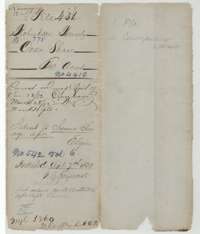 WrapperFile wrapper for Orsen Shaw's 640-acre bounty warrant No. 4410, marked as patented on 7 April 1853.General Land Office, file 431, page 1 · in the scan
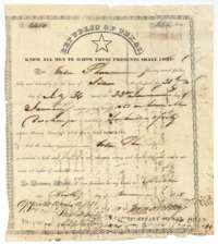 CertificateBounty certificate No. 4410 for 640 acres to Orson Shaw for six months' service in 1836, signed by Secretary of War G. W. Hockley, 9 November 1838.General Land Office, file 431, page 2 · in the scan
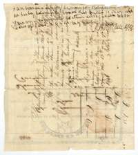 Back of the certificateBack of the certificate, with Orson Shaw's transfer of the claim to James Savage in Harrisburg County, 13 November 1838, before John Shea, Justice of the Peace.General Land Office, file 431, page 3 · in the scan
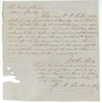 AffidavitAffirmation of John Shea before county clerk W. R. Baker at Houston, 7 February 1853, that Orson Shaw acknowledged the transfer to James Savage.General Land Office, file 431, page 4 · in the scan
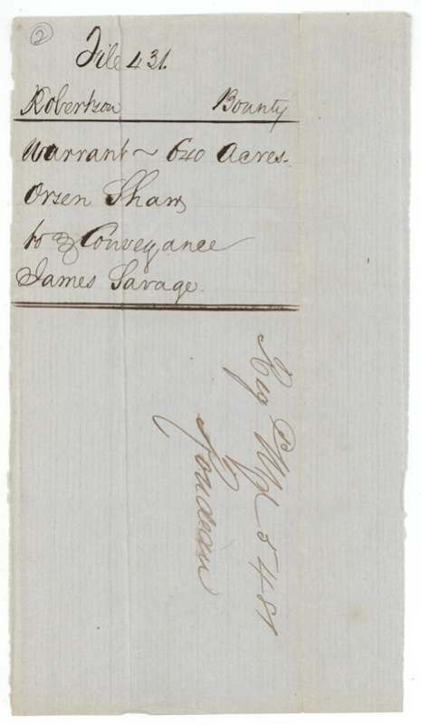
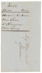 WrapperJacket for the warrant for 640 acres, Orsen Shaw, with the conveyance to James Savage.General Land Office, file 431, page 5 · in the scan
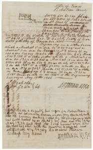 Field notesField notes for 640 acres on Briar Creek, a branch of Chambers Creek, surveyed for Orson Shaw by deputy surveyor Mitchell, 19 May 1846.General Land Office, file 431, page 6 · in the scan
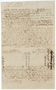 Surveyor's certificateBack of the field notes, with the district surveyor's certificate of 27 July 1848 that they were examined and recorded in Book B, page 372.General Land Office, file 431, page 7 · in the scan
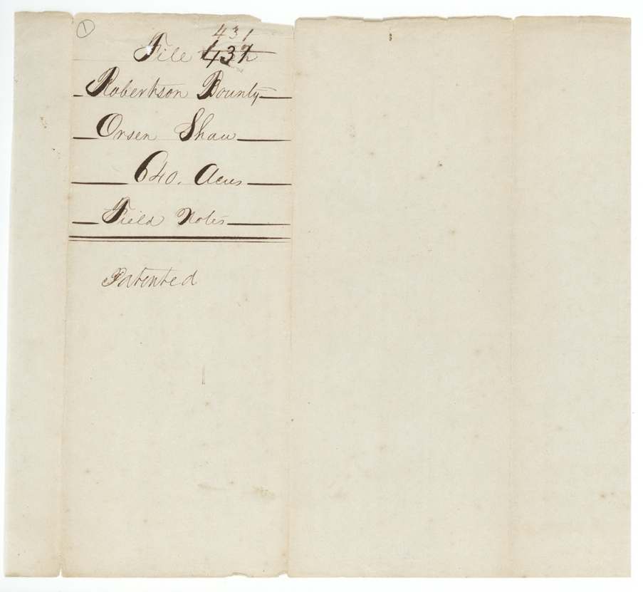
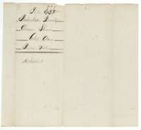 WrapperField-notes jacket for Orsen Shaw, 640 acres, File 431, marked patented.General Land Office, file 431, page 8 · in the scan
Scans courtesy of the Texas General Land Office, Austin, from its Land Grant Database.
Neighbouring surveys
Sources
- Texas General Land Office, Land Grant Database: Navarro County, Abstract 778
- The Land Office file, scanned (PDF, at the General Land Office)
- 1924 map: courtesy of the Texas General Land Office, Austin, Map 73249, used under licence. Topo: U.S. Geological Survey, The National Map. Aerial photographs: U.S. Department of Agriculture, National Agriculture Imagery Program, 2012, 2018 and 2022. Survey outlines: Railroad Commission of Texas, Original Texas Land Survey. Grant records and files: Texas General Land Office.