Blackland TX · ← All the original surveys
Houston Tap And Brazoria Railroad Company Survey, Abstract 416
- Granted to
- Houston Tap And Brazoria Railroad Company
- Kind of grant
- Land scripLand bought from the Republic with scrip.
- Land Office file
- Robertson Scrip, file 1325
- Certificate
- No. 570
- Acres
- 640
- Patented to
- William M. Rice
- Patent
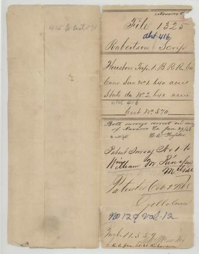
- 02 Oct 1868 · No. 129, Vol. 12
Tap a survey to open its page.
What the file shows
The Houston Tap and Brazoria Railway Company received 640-acre Land Scrip No. 570 on 26 March 1861 for completing twenty-five miles of road, and sold it to William M. Rice for $200 a month later. In December 1867 Navarro County Surveyor J. M. Eliot laid out two adjoining 640-acre sections on Chambers Creek, No. 1 for the company and No. 2 for the State. Patent No. 129 Vol. 12 on survey No. 1 issued to Rice on 2 October 1868.
The certificate
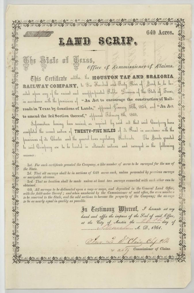
railroad land scrip, No. 570, 640 (each of two surveys: No. 1 for the company, No. 2 for the State), Office of Commissioner of Claims, Jno. L. St. Clair, Chief Clerk and acting Commissioner of Claims (signature reads Jno. L. S'Clair(?)), Austin, 26 Mar 1861.
Entitles the Houston Tap and Brazoria Railway Company to 640 acres, to be located on vacant public domain under the Act of 30 Jan 1854 and its 8 Feb 1860 amendment, because the company completed the second section of twenty-five miles of its road. For each certificate a like number of acres is to be surveyed for the State, in alternate sections of 640 acres.
Changes of hand
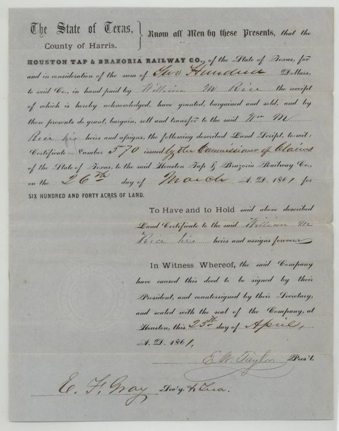
- 25 Apr 1861Houston Tap & Brazoria Railway Co., Harris County → William M. Rice, $200, Houston, Harris County, Texas. Sells certificate No. 570 for 640 acres issued 26 March 1861; filed in GLO 23 Jan 1868.
The survey
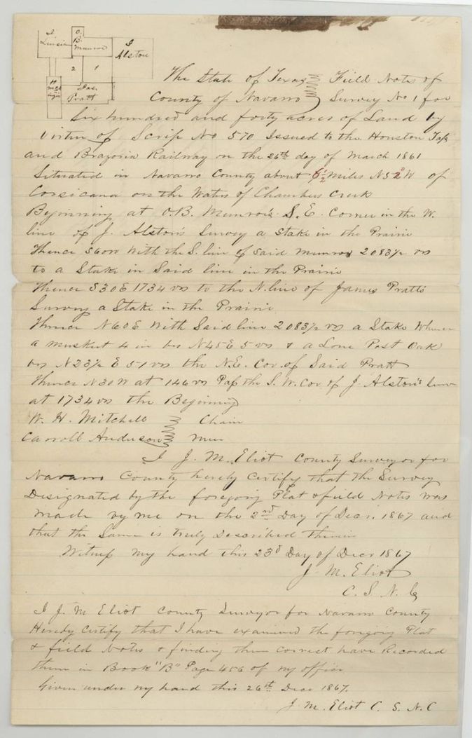
1867-12-02 (certified 1867-12-23), J. M. Eliot, County Surveyor of Navarro County.
Navarro County, about 8 1/2 miles N 52(?) W of Corsicana on the waters of Chambers Creek
Chain carriers: W. H. Mitchell, Carroll Anderson.
Book B, page 456
The survey
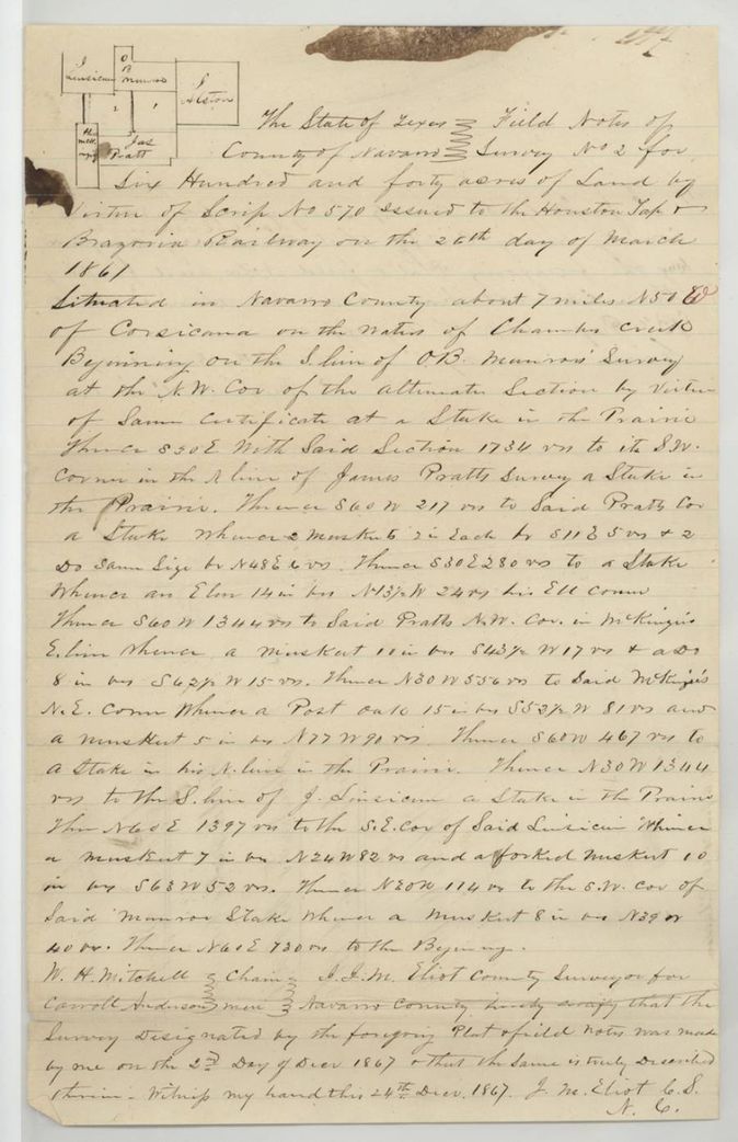
1867-12-02 (certified 1867-12-24), J. M. Eliot, County Surveyor of Navarro County.
Navarro County, about 7 miles N 51(?) E(?) of Corsicana on the waters of Chambers Creek
Chain carriers: W. H. Mitchell, Carroll Anderson.
Book B, page 457
The patent
2 Oct 1868, No. 129, Vol. 12, to William M. Rice, assignee (survey No. 1, the company's section), delivered to not stated.
Also in the file
- Scrip certificate number reads 570 on the face and in the field notes, but the jacket also carries '415 to cert 571', suggesting adjacent abstracts and certificates in the same block.
- The company sold the scrip to William M. Rice on 25 April 1861, a month after issue, yet the survey and application (Oct-Dec 1867) are in the company's name and James Converse acted for the locator; the patent went to Rice.
- One scrip produced two 640-acre surveys: No. 1 patented to Rice, No. 2 reserved to the State, patented the same day per the wrapper.
- The scrip was granted under the 1854 railroad act as amended on 8 Feb 1860 and signed 26 March 1861; the survey was not made until December 1867.
- Index says patent date 2 Oct 1868, No. 129, Vol. 12, 640 acres, which agrees with the jacket.
- Survey No. 1 field notes place it about 8 1/2 miles N 52 W of Corsicana, while Survey No. 2 says about 7 miles N 51 E(?) (the E retouched in red), although the two tracts adjoin.
Timeline
- 26 Mar 1861Commissioner of Claims issues Land Scrip No. 570 for 640 acres to the Houston Tap and Brazoria Railway Company
- 25 Apr 1861Company sells the scrip to William M. Rice for $200 at Houston
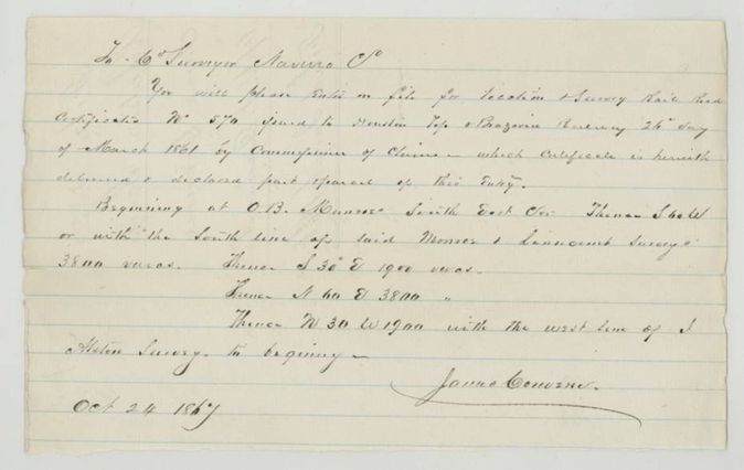
- 24 Oct 1867James Converse files application and designation of the location
- 2 Dec 1867J. M. Eliot surveys Survey Nos. 1 and 2 in Navarro County
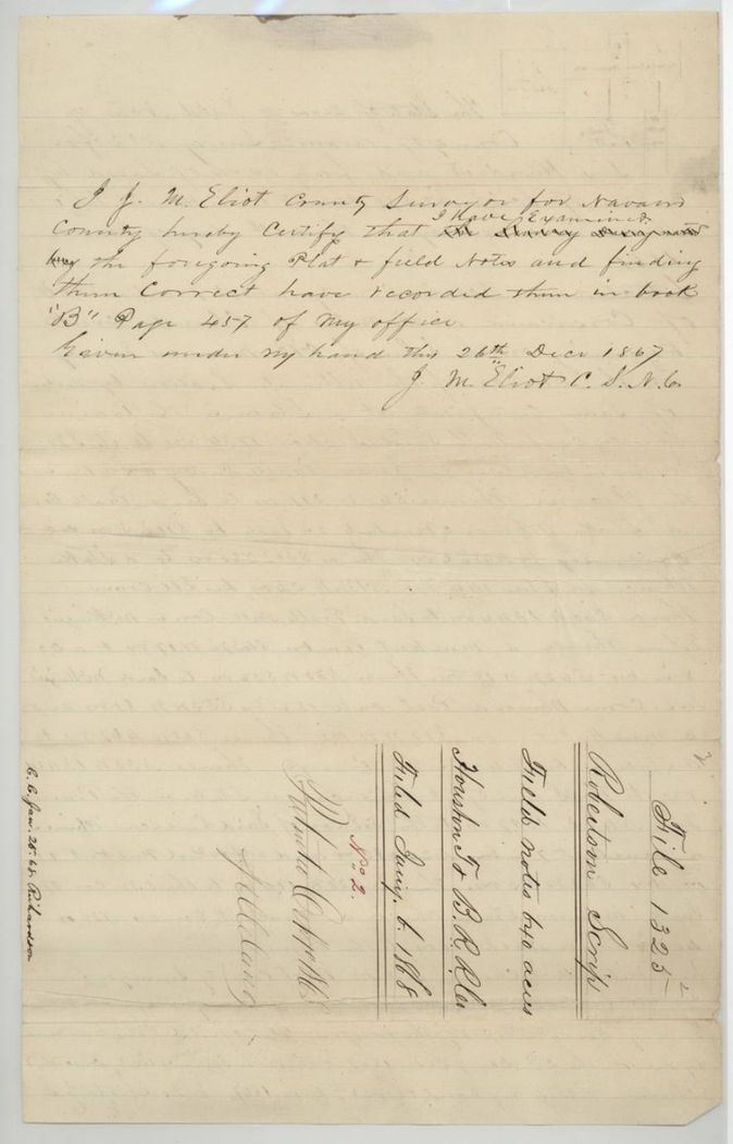
- 26 Dec 1867Eliot examines and records the field notes, Book B pp. 456-457
- 6 Jan 1868Scrip, field notes and application filed in the General Land Office
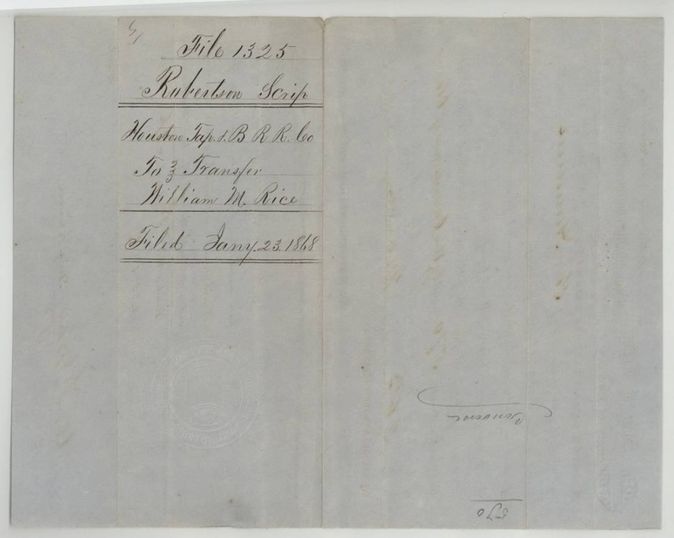
- 23 Jan 1868Transfer to Rice filed
- 29 Jan 1868Both surveys marked correct on map of Navarro County
- 2 Oct 1868Patent No. 129 Vol. 12 to William M. Rice
The papers in the file
Every page of the Land Office file, in the order the Land Office keeps them (11 pages). Tap a page to see it larger.
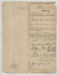 File jacketFile jacket 1325 Robertson Scrip for the Houston Tap and Brazoria Railroad Co., surveys No. 1 and No. 2, patented 2 Oct 1868 to William M. Rice.General Land Office, file 1325, page 1 · in the scan
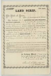 CertificateLand Scrip No. 570 for 640 acres issued by the Commissioner of Claims at Austin to the Houston Tap and Brazoria Railway Company.General Land Office, file 1325, page 2 · in the scan
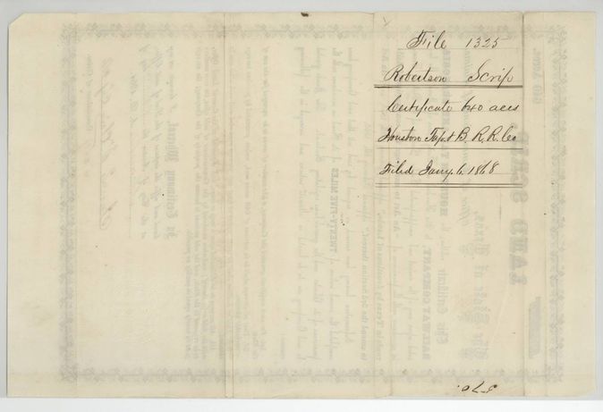
 Back of the certificateBack of the scrip, endorsed file 1325, Robertson Scrip, certificate 640 acres, filed 6 January 1868.General Land Office, file 1325, page 3 · in the scan
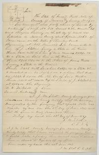 Field notesField notes and plat for Survey No. 1, 640 acres on Chambers Creek by J. M. Eliot, with chain carriers Mitchell and Anderson.General Land Office, file 1325, page 4 · in the scan
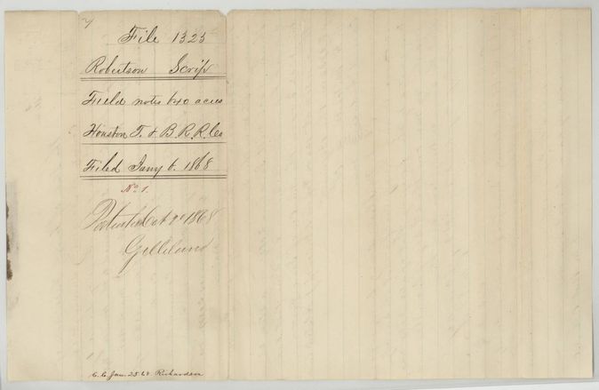
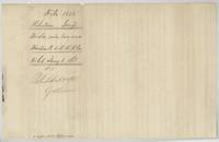 WrapperWrapper for the Survey No. 1 field notes, filed 6 January 1868, patented 2 October 1868.General Land Office, file 1325, page 5 · in the scan
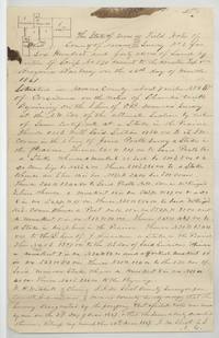 Field notesField notes and plat for Survey No. 2, 640 acres, the State's alternate section, by J. M. Eliot, 24 December 1867.General Land Office, file 1325, page 6 · in the scan
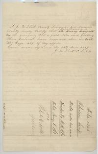 Surveyor's certificateEliot certifies he examined Survey No. 2 and recorded it in Book B page 457, with wrapper marked No. 2 and patented Oct 2 1868.General Land Office, file 1325, page 7 · in the scan
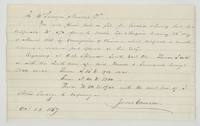 Other papersJames Converse asks the Navarro County Surveyor to file the location of scrip 570 beginning at O. B. Monroe's SE corner.General Land Office, file 1325, page 8 · in the scan
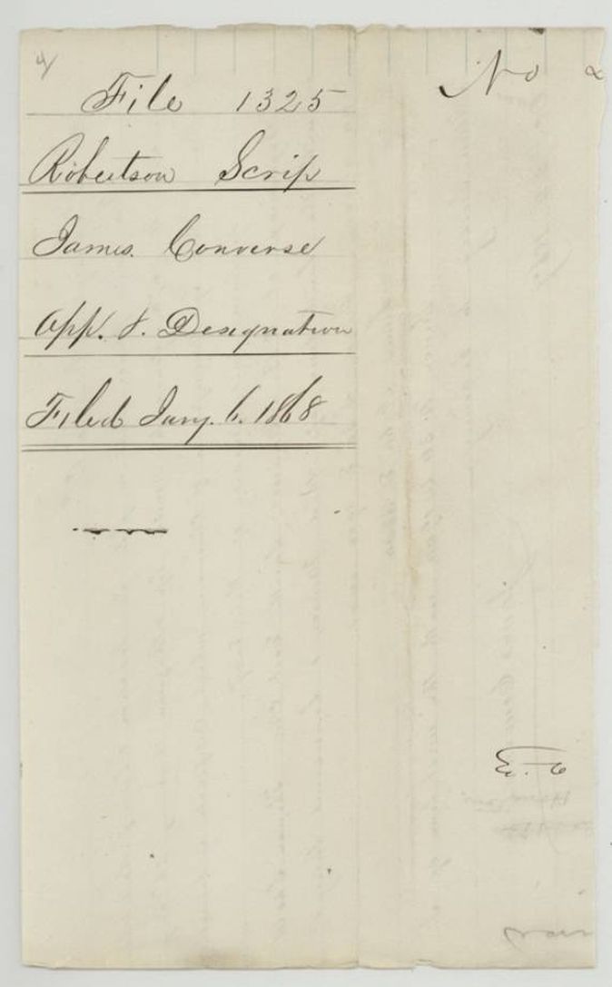
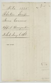 WrapperWrapper for James Converse's application and designation, filed 6 January 1868.General Land Office, file 1325, page 9 · in the scan
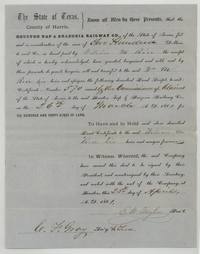 TransferHouston Tap & Brazoria Railway Co. sells scrip No. 570, 640 acres, to William M. Rice for $200 at Houston, 25 April 1861.General Land Office, file 1325, page 10 · in the scan
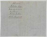 WrapperWrapper for the transfer from the Houston Tap and Brazoria Railroad Co. to William M. Rice, filed 23 January 1868.General Land Office, file 1325, page 11 · in the scan
Scans courtesy of the Texas General Land Office, Austin, from its Land Grant Database.
Neighbouring surveys
Sources
- Texas General Land Office, Land Grant Database: Navarro County, Abstract 416
- The Land Office file, scanned (PDF, at the General Land Office)
- 1924 map: courtesy of the Texas General Land Office, Austin, Map 73249, used under licence. Topo: U.S. Geological Survey, The National Map. Aerial photographs: U.S. Department of Agriculture, National Agriculture Imagery Program, 2012, 2018 and 2022. Survey outlines: Railroad Commission of Texas, Original Texas Land Survey. Grant records and files: Texas General Land Office.