Blackland TX · ← All the original surveys
William Bridge Survey, Abstract 121
- Granted to
- William Bridge
- Kind of grant
- Bounty warrantLand paid for service in the army of the Republic.
- Land Office file
- Robertson Bounty, file 87
- Certificate
- No. 9085
- Acres
- 320
- Patented to
- Shubeal Marsh
- Patent
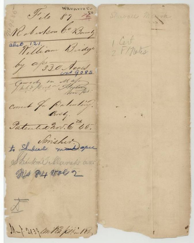
- 06 Nov 1845 · No. 84, Vol. 2
Tap a survey to open its page.
What the file shows
William Bridge's Republic of Texas bounty certificate No. 9085 for 320 acres, earned for three months' army service in 1836 and issued at Houston on 3 May 1839, was held by Shubeal Marsh as assignee. B. J. Chambers surveyed 320 acres on Chambers Creek on 17 October 1840, recorded by County Surveyor Patton, and the patent issued to Marsh on 6 November 1845.
The certificate
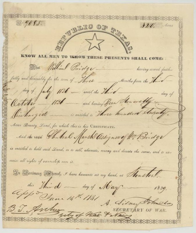
bounty warrant (Republic of Texas army service, 3 months), No. 9085, 320 acres, A. Sidney Johnston, Secretary of War, Republic of Texas; approved 14 June 1841 by B. T. Archer, Secretary of War and Navy, Houston, 3 May 1839.
William Bridge served faithfully and honorably for three months from 3 July 1836 until 3 October 1836 and was honorably discharged, entitling him to 320 acres of bounty land; the printed text names 'Shubeal Marsh, assignee of Wm. Bridge' as the holder
Changes of hand
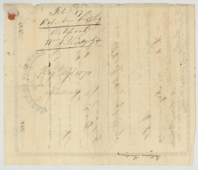
- before 1839-05-03 (Marsh already named as assignee on the certificate)William Bridge → Shubeal Marsh. Assignment by blank endorsement: William Bridge's signature stands alone on the back of the certificate (page 3, upside down at foot); no deed or date. Marsh is named 'assignee of Wm. Bridge' in the body of the certificate, and the patent issued to him as assignee.
The survey
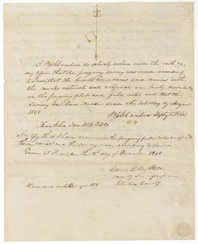
17 Oct 1840, B. J. Chambers, Deputy Surveyor, Robertson Land District.
Robertson County, on the waters of Chambers Creek, a branch of the Trinity River
Chain carriers: Ebenezer Donnoldson(?), John Hardisty.
Book B, page 109
The patent
6 Nov 1845, No. 84, Vol. 2, to Shubeal Marsh, assignee, delivered to not stated.
Also in the file
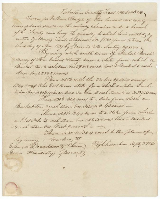
- The field notes say the certificate was issued by 'Barnard E. Bee, Secretary of War', but the certificate itself is signed by A. Sidney Johnston, Secretary of War.
- The certificate already names Shubeal Marsh as assignee of William Bridge; the only transfer in the file is Bridge's bare signature endorsed on the back of the certificate, with no deed, date or witness.
- The survey begins at the south corner of Marsh's own 320-acre survey, so Marsh held adjoining land, probably on another certificate.
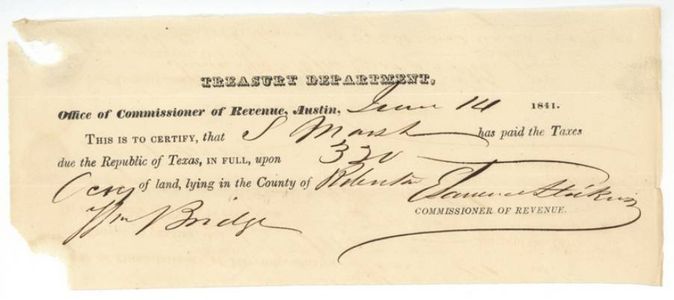
- Tax receipt of 14 June 1841 shows Marsh paid the Republic's taxes on the 320 acres in Robertson County on the same day the certificate was approved.
- Index says certificate 9085, patent 6 Nov 1845, No. 84 Vol. 2: matches.
Timeline
- 3 Jul 1836William Bridge's three-month Republic of Texas army service begins (to 3 Oct 1836)
- 3 May 1839Bounty certificate No. 9085 for 320 acres issued at Houston
- 17 Oct 1840B. J. Chambers surveys 320 acres on Chambers Creek
- 12 Dec 1840County Surveyor Patton examines and records the survey, Book B p. 109
- 14 Jun 1841Certificate approved by the Secretary of War and Navy; taxes paid by S. Marsh at Austin
- 6 Nov 1845Patent No. 84 Vol. 2 to Shubeal Marsh, assignee
The papers in the file
Every page of the Land Office file, in the order the Land Office keeps them (7 pages). Tap a page to see it larger.
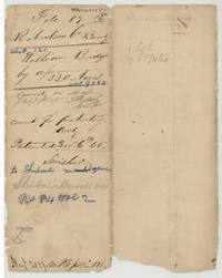 File jacketFile jacket for William Bridge's 320-acre bounty claim, patented to Shubeal Marsh 6 November 1845, No. 84 Vol. 2.General Land Office, file 87, page 1 · in the scan
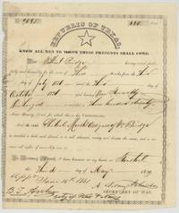 CertificateRepublic of Texas bounty certificate No. 9085 for 320 acres, William Bridge, signed by A. Sidney Johnston at Houston, 3 May 1839.General Land Office, file 87, page 2 · in the scan
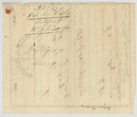 Back of the certificateBack of the certificate, docketed 'Certificate Wm. Bridge by assee', Reg. Mgl. 5170, with William Bridge's endorsement signature at the foot.General Land Office, file 87, page 3 · in the scan
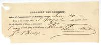 Other papersTreasury Department receipt that S. Marsh paid the Republic's taxes on 320 acres in Robertson County, Austin, 14 June 1841.General Land Office, file 87, page 4 · in the scan
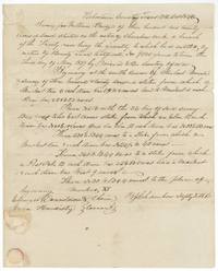 Field notesB. J. Chambers's field notes for 320 acres on Chambers Creek, beginning at the south corner of Shubael Marsh's survey.General Land Office, file 87, page 5 · in the scan
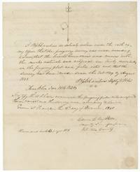 Surveyor's certificateChambers's oath of 11 November 1840 and County Surveyor Patton's examination, recorded Book B p. 109; small plat at top.General Land Office, file 87, page 6 · in the scan
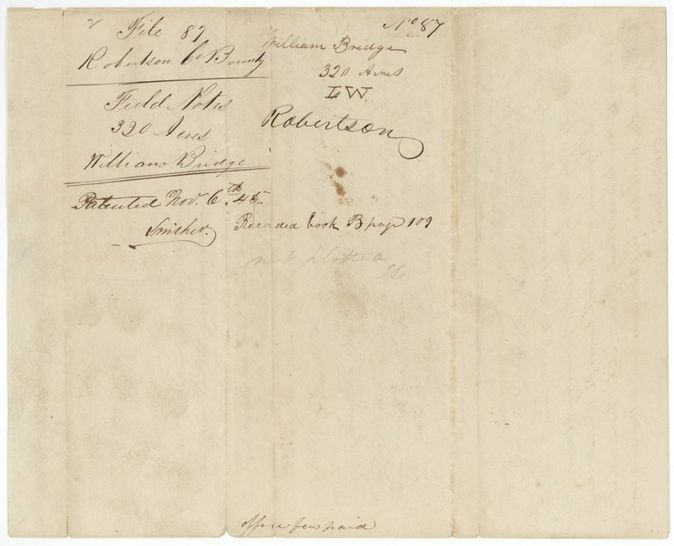
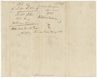 WrapperWrapper for the field notes, 'Patented Nov. 6th 45', recorded Book B p. 109, office fees paid.General Land Office, file 87, page 7 · in the scan
Scans courtesy of the Texas General Land Office, Austin, from its Land Grant Database.
Neighbouring surveys
Sources
- Texas General Land Office, Land Grant Database: Navarro County, Abstract 121
- The Land Office file, scanned (PDF, at the General Land Office)
- 1924 map: courtesy of the Texas General Land Office, Austin, Map 73249, used under licence. Topo: U.S. Geological Survey, The National Map. Aerial photographs: U.S. Department of Agriculture, National Agriculture Imagery Program, 2012, 2018 and 2022. Survey outlines: Railroad Commission of Texas, Original Texas Land Survey. Grant records and files: Texas General Land Office.