Blackland TX · ← All the original surveys
J. M. Steiner Survey, Abstract 789
- Granted to
- J. M. Steiner
- Kind of grant
- Land scripLand bought from the Republic with scrip.
- Land Office file
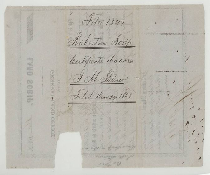
- Robertson Scrip, file 1349
- Certificate
- No. 19/525
- Acres
- 160
- Patented to
- W. H. Mitchell
- Patent
- 27 Jul 1875 · No. 184, Vol. 21
Tap a survey to open its page.
What the file shows
J. M. Steiner bought 160 acres of Texas land scrip at the General Land Office, number 19/525, under the 1858 public domain sales act. W. H. Mitchell, to whom the scrip was transferred (the deed is in another file), applied to locate it on the waters of Brier Creek in Navarro County, and the papers were filed on 29 December 1868. The patent issued to Wm. H. Mitchell on 27 July 1875.
The certificate
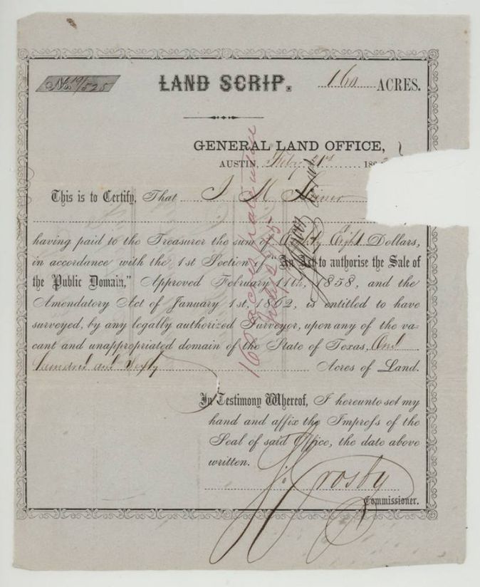
land scrip (Act of 11 February 1858, amended 1 January 1862), No. 19/525, 160 acres, General Land Office, Austin; signed J. Crosby(?), Commissioner, Austin, 1863-02-21(?).
J. M. Steiner paid the Treasurer eighty-eight(?) dollars under the first section of the Act to authorise the Sale of the Public Domain, approved 11 Feb 1858, and the amendatory act of 1 Jan 1862, and was entitled to have 160 acres surveyed on vacant public land.
The survey
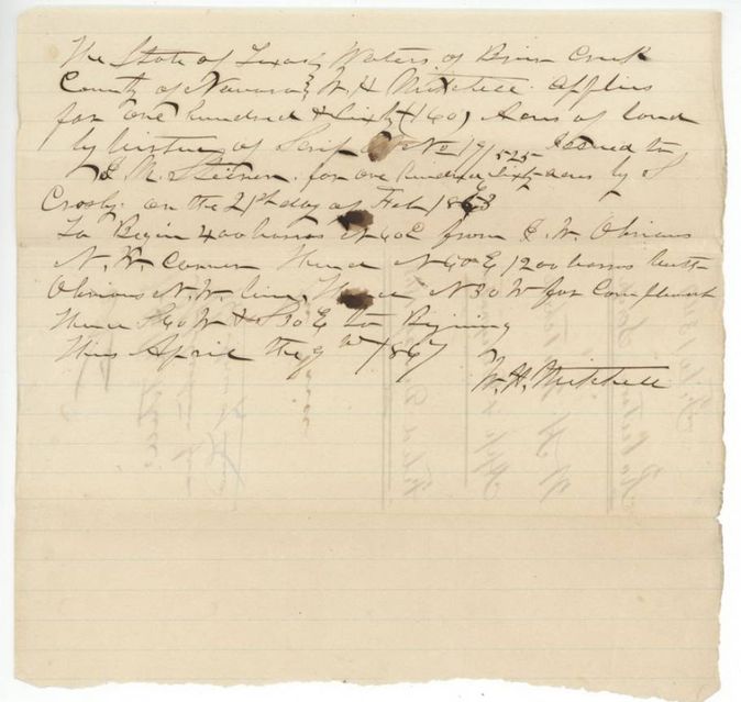
1867-04-09(?), not named; only W. H. Mitchell's application and designation of location is in the file.
Waters of Brier Creek, Navarro County, State of Texas
The patent
27 Jul 1875, No. 184, Vol. 21, to Wm. H. Mitchell, delivered to not stated.
Also in the file
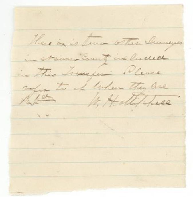
- The transfer from Steiner to Mitchell is not in this file; it is in file S.1337 Robertson, and covers two other Navarro surveys too.
- Application is dated 9 April 1867(?) but the wrapper says filed 29 December 1868; the year on the application is hard to read.
- Scrip year is torn off the face; Mitchell's application (p5) gives the issue as 21 Feb 186-, last digit read 3(?).
- Jacket abstract '789-2' marks this as one of several surveys sharing a transfer; there is no survey or field notes page in this file.
- Indexed patent date 27 Jul 1875 agrees with the jacket.
Timeline
- 11 Feb 1858Act to authorise the Sale of the Public Domain approved
- 21 Feb 1863Land Scrip No. 19/525 for 160 acres issued to J. M. Steiner at the General Land Office (year uncertain)
- 9 Apr 1867W. H. Mitchell signs application and designation of location on Brier Creek (year uncertain)
- 29 Dec 1868Scrip and application filed in the General Land Office
- 6 Jan 1869Jacket check mark 'C.C. Jan 6/69 Richardson'
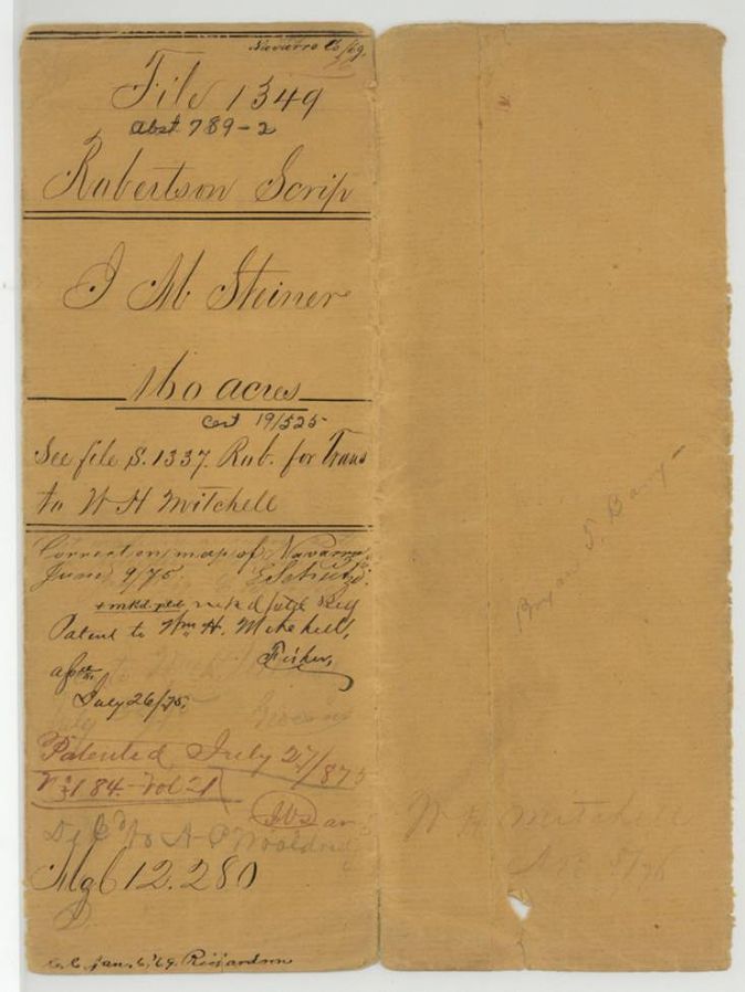
- 9 Jun 1875Marked correct on the map of Navarro County
- 27 Jul 1875Patent No. 184 Vol. 21 to Wm. H. Mitchell
The papers in the file
Every page of the Land Office file, in the order the Land Office keeps them (6 pages). Tap a page to see it larger.
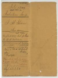 File jacketFile jacket for J. M. Steiner's 160-acre Robertson scrip, Abst 789-2, with the patent entry to Wm. H. Mitchell, 27 July 1875.General Land Office, file 1349, page 1 · in the scan
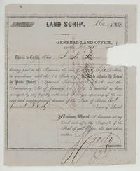 CertificateLand Scrip No. 19/525 for 160 acres issued to J. M. Steiner at the General Land Office, Austin, signed by the Commissioner.General Land Office, file 1349, page 2 · in the scan
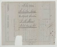 Back of the certificateBack of the scrip, endorsed File 1349 Robertson Scrip, certificate 160 acres, J. M. Steiner, filed 29 December 1868.General Land Office, file 1349, page 3 · in the scan
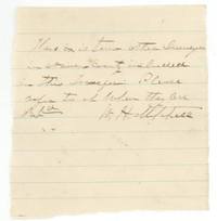 LetterNote signed W. H. Mitchell saying two other surveys in Navarro County are included in this transfer and asking that it be referred to when they are patented.General Land Office, file 1349, page 4 · in the scan
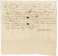 Other papersW. H. Mitchell's application for 160 acres on the waters of Brier Creek by Scrip No. 19/525, with a call for the beginning.General Land Office, file 1349, page 5 · in the scan
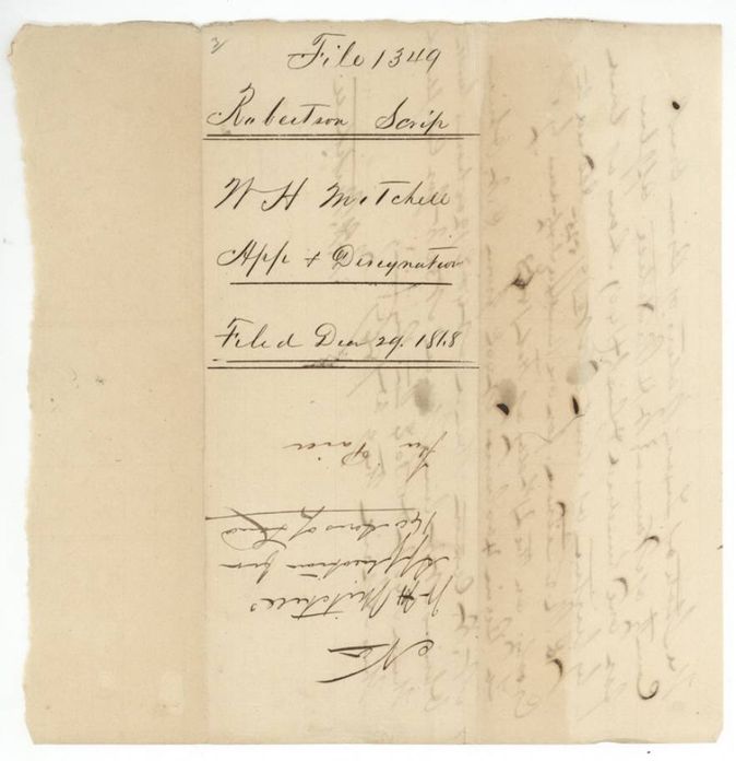
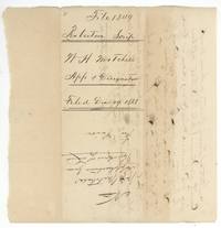 WrapperWrapper for W. H. Mitchell's application and designation, filed 29 December 1868.General Land Office, file 1349, page 6 · in the scan
Scans courtesy of the Texas General Land Office, Austin, from its Land Grant Database.
Neighbouring surveys
Sources
- Texas General Land Office, Land Grant Database: Navarro County, Abstract 789
- The Land Office file, scanned (PDF, at the General Land Office)
- 1924 map: courtesy of the Texas General Land Office, Austin, Map 73249, used under licence. Topo: U.S. Geological Survey, The National Map. Aerial photographs: U.S. Department of Agriculture, National Agriculture Imagery Program, 2012, 2018 and 2022. Survey outlines: Railroad Commission of Texas, Original Texas Land Survey. Grant records and files: Texas General Land Office.