Blackland TX · ← All the original surveys
Samuel Halloway Survey, Abstract 408
- Granted to
- Samuel Halloway
- Kind of grant
- Bounty warrantLand paid for service in the army of the Republic.
- Land Office file
- Robertson Bounty, file 1031
- Certificate
- No. 261
- Acres
- 22.50
- Patented to
- Heirs of Samuel Halloway
- Patent
- 16 Jan 1871 · No. 569, Vol. 13
Tap a survey to open its page.
What the file shows
In May 1860 the state issued a 960-acre bounty warrant to the heirs of Samuel Holloway, who died in the Alamo. R. M. Elgin entered vacancies at Corsicana in July 1868, and county surveyor J. M. Eliot laid out three tracts south of Corsicana in September 1868: 545.5, 392 and 22.5 acres. They were patented to the heirs in 1874, 1870 and 1871.
The certificate
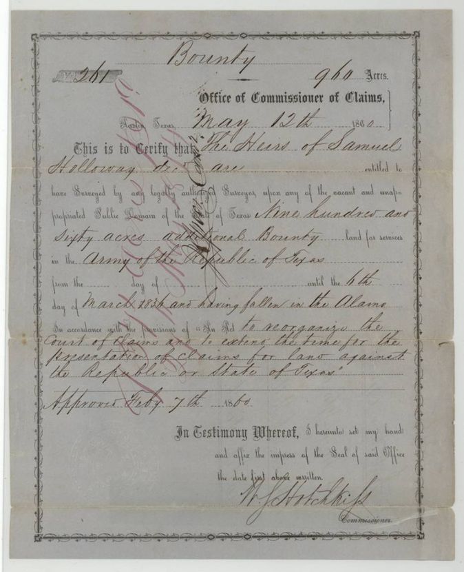
bounty warrant (additional bounty, Alamo), No. 261, 960 (545.5 + 392 + 22.5 located in this file), Office of Commissioner of Claims; W. S. Hotchkiss, Commissioner, Austin, Texas, 12 May 1860.
The Heirs of Samuel Holloway, deceased, are entitled to 960 acres additional bounty land for services in the Army of the Republic of Texas until the 6th day of March 1836, having fallen in the Alamo, under the act to reorganize the Court of Claims approved 7 Feb 1860.
The survey
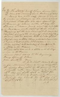
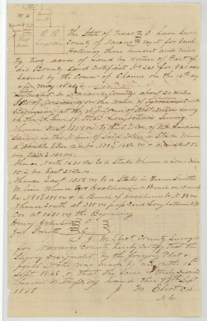
1868-09-16 (certified 1868-09-17), J. M. Eliot, County Surveyor of Navarro County.
Navarro (red-ink 'and Limestone') County, about 20 miles S S W of Corsicana on the waters of Tyhwackana (red-ink 'Tehuacana') Creek
Chain carriers: Henry Johnson, Jno. Smith.
Book C, page 15(?)
The survey
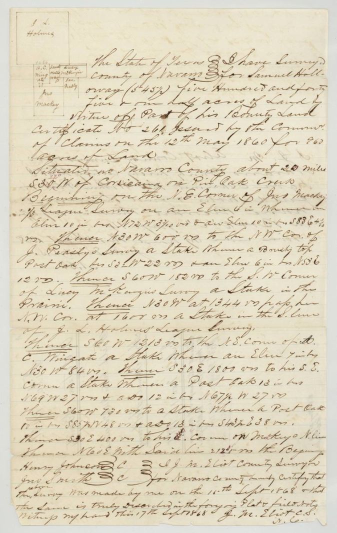
1868-09-15 (certified 1868-09-17), J. M. Eliot, County Surveyor of Navarro County.
Navarro County, about 22 miles S 30 W of Corsicana (red-ink '22°' written over the 30) on Pin Oak Creek
Chain carriers: Henry Johnson, Jno. Smith.
Book C, page 14
The survey
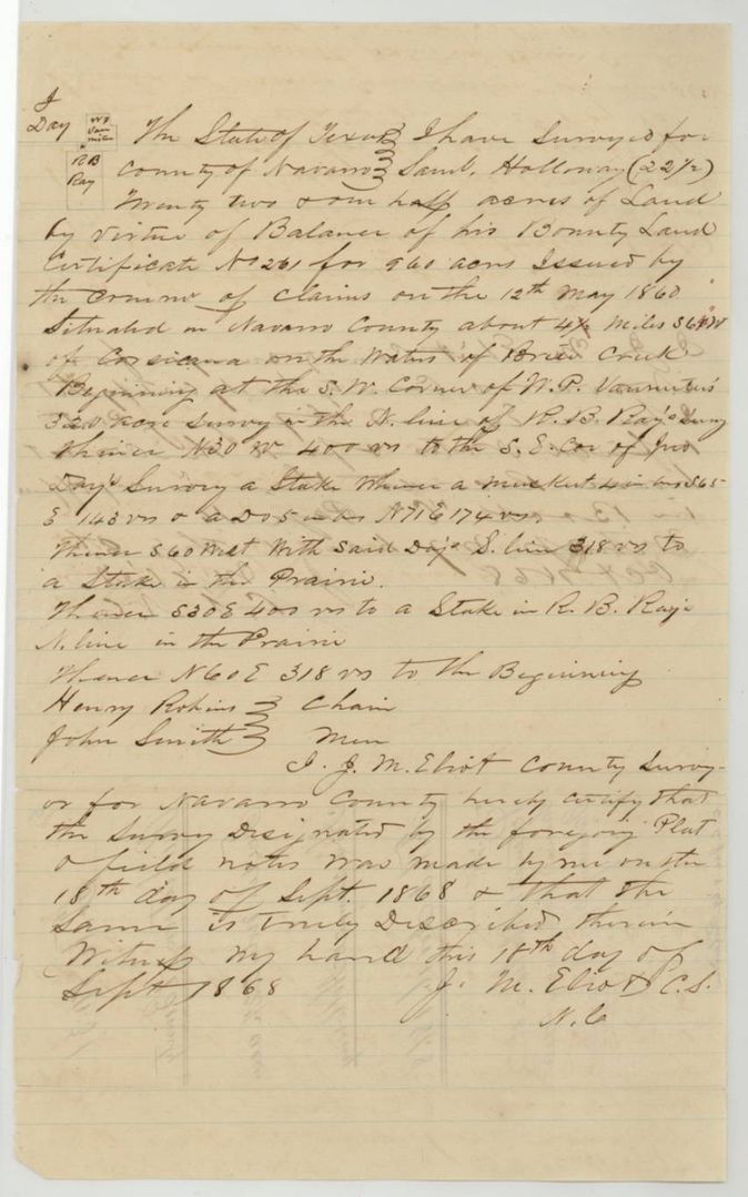
18 Sep 1868, J. M. Eliot, County Surveyor of Navarro County.
Navarro County, about 4 1/4 miles S 64 W(?) of Corsicana on the waters of Brier Creek
Chain carriers: Henry Robins, John Smith.
Book C, page 16
The patent
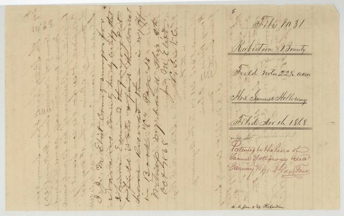
1870-04-18 (392 acres), 1871-01-16 (22.5 acres), 1874-05-27 (545.5 acres), No. 422 Vol. 13; No. 569 Vol. 13; No. 553 Vol. 14, to the Heirs of Samuel Holloway, deceased, delivered to not stated.
Also in the file
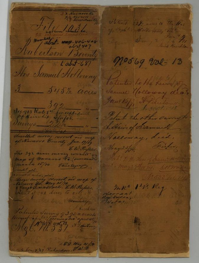
- The 392-acre survey straddles the Navarro/Limestone line; the wrapper first lists it under Limestone and the jacket shows it 'surrounded' on the Navarro County map and referred to a new Limestone map.
- Three surveys from one 960-acre bounty warrant were patented in three separate years (1870, 1871, 1874).
- The warrant was issued to the heirs of a man who fell at the Alamo, with no heirs named in this file (jacket refers to a separate affidavit of heirship).
- R. M. Elgin made the entries and held the vacancies on behalf of the heirs; Hollingsworth & Bro. endorsed the warrant.
- Index matches the jacket: 406 patented 27 May 1874 No. 553 Vol. 14 (545.5 ac); 407 patented 18 Apr 1870 No. 422 Vol. 13 (392 ac); 408 patented 16 Jan 1871 No. 569 Vol. 13 (22.5 ac).
- The 545.5-acre field notes give the bearing from Corsicana as S 30 W, with a red-ink '22°' written over it by a later hand.
Timeline
- 6 Mar 1836Samuel Holloway falls at the Alamo
- 7 Feb 1860Act to reorganize the Court of Claims approved
- 12 May 1860Bounty warrant No. 261 for 960 acres issued to the heirs of Samuel Holloway
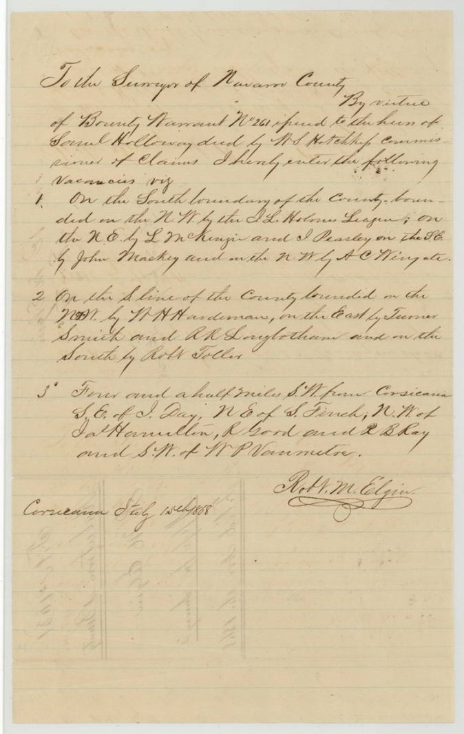
- 15 Jul 1868R. M. Elgin enters three vacancies at Corsicana
- 15 Sep 1868Eliot surveys the 545.5 acres on Pin Oak Creek
- 16 Sep 1868Eliot surveys the 392 acres on Tehuacana Creek
- 18 Sep 1868Eliot surveys the 22.5 acres on Brier Creek
- 16 Nov 1868Warrant, entry and all field notes filed in the General Land Office
- 19 Jan 1869Smallest survey checked correct on map
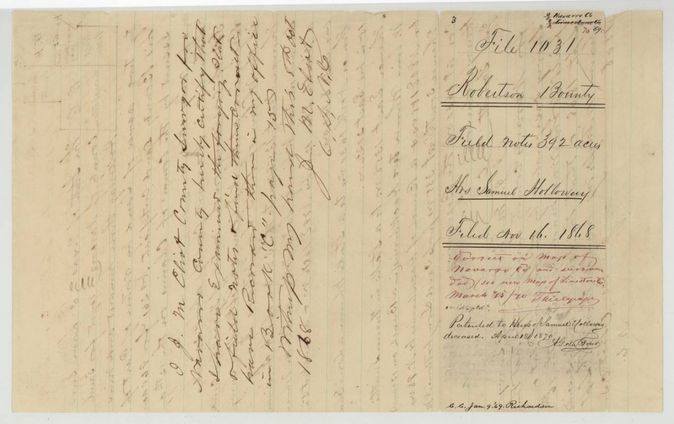
- 18 Apr 1870Patent No. 422 Vol. 13 for 392 acres
- 16 Jan 1871Patent No. 569 Vol. 13 for 22.5 acres
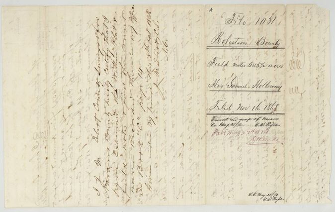
- 27 May 1874Patent No. 553 Vol. 14 for 545.5 acres
The papers in the file
Every page of the Land Office file, in the order the Land Office keeps them (11 pages). Tap a page to see it larger.
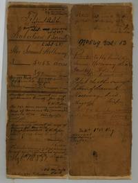 File jacketFile jacket for the heirs of Samuel Holloway, bounty warrant of 960 acres located as 545 1/2, 392 and 22 1/2 acres, patented 1870, 1871 and 1874.General Land Office, file 1031, page 1 · in the scan
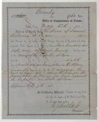 CertificateBounty warrant No. 261 for 960 acres issued to the heirs of Samuel Holloway, who fell in the Alamo, by W. S. Hotchkiss, Austin, 12 May 1860.General Land Office, file 1031, page 2 · in the scan
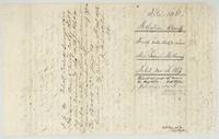
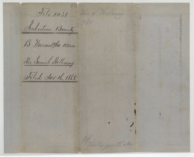
 WrapperWrapper no. 1 for the 960-acre bounty warrant of the heirs of Samuel Holloway, filed 16 November 1868.General Land Office, file 1031, page 3 · in the scan
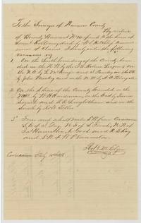 Other papersR. M. Elgin's entry of three vacancies by virtue of warrant 261 addressed to the Surveyor of Navarro County, Corsicana, 15 July 1868.General Land Office, file 1031, page 4 · in the scan
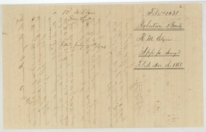
 WrapperWrapper no. 2 for R. M. Elgin's entries for surveys, filed 16 November 1868.General Land Office, file 1031, page 5 · in the scan
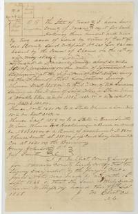 Field notesField notes and plat of 392 acres for Samuel Holloway on Tehuacana Creek by County Surveyor J. M. Eliot, surveyed 16 September 1868.General Land Office, file 1031, page 6 · in the scan
 WrapperBack of the 392-acre field notes with wrapper no. 3, correct on map 15 March 1870 and patented 18 April 1870.General Land Office, file 1031, page 7 · in the scan
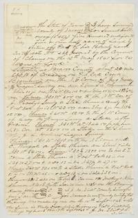 Field notesField notes and plat of 545 1/2 acres for Samuel Holloway on Pin Oak Creek about 22 miles S 30 W of Corsicana by J. M. Eliot.General Land Office, file 1031, page 8 · in the scan
 WrapperBack of the 545 1/2-acre field notes with wrapper no. 4, correct on map 25 May 1874 and patented 27 May 1874.General Land Office, file 1031, page 9 · in the scan
 Field notesField notes and plat of 22 1/2 acres, the balance of warrant 261, on Brier Creek about 4 1/4 miles from Corsicana by J. M. Eliot, 18 September 1868.General Land Office, file 1031, page 10 · in the scan
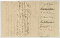 WrapperBack of the 22 1/2-acre field notes with wrapper no. 5, patented to the heirs of Samuel Holloway 16 January 1871.General Land Office, file 1031, page 11 · in the scan
Scans courtesy of the Texas General Land Office, Austin, from its Land Grant Database.
Neighbouring surveys
Sources
- Texas General Land Office, Land Grant Database: Navarro County, Abstract 408
- The Land Office file, scanned (PDF, at the General Land Office)
- 1924 map: courtesy of the Texas General Land Office, Austin, Map 73249, used under licence. Topo: U.S. Geological Survey, The National Map. Aerial photographs: U.S. Department of Agriculture, National Agriculture Imagery Program, 2012, 2018 and 2022. Survey outlines: Railroad Commission of Texas, Original Texas Land Survey. Grant records and files: Texas General Land Office.