Blackland TX · ← All the original surveys
Alex Lamountane Survey, Abstract 507
- Granted to
- Alex Lamountane
- Kind of grant
- Headright, third classLand for later settlers, including the colonists of Mercer’s Colony.
- Land Office file
- Robertson 3rd class, file 5208
- Certificate
- No. 1271/1370
- Acres
- 320
- Patented to
- Richard Waterhouse
- Patent
- 13 Aug 1869 · No. 547, Vol. 37
Tap a survey to open its page.
What the file shows
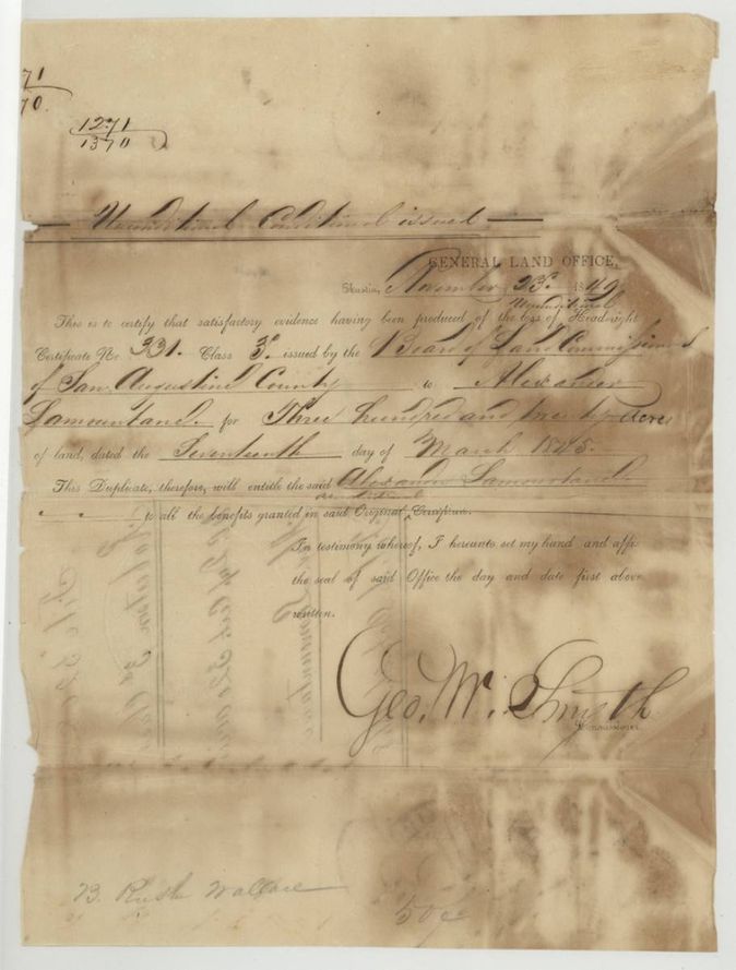
Alexander Lamountane's lost San Augustine County headright No. 331 (17 March 1845) was replaced by a General Land Office duplicate in November 1849. He sold it in March 1850 to Hugh Ochiltree, who sold it days later to Richard Waterhouse for $40. County Surveyor J. M. Eliot located 320 acres on Briar Creek, about 6 miles from Corsicana, in September 1868, and the patent issued to Waterhouse on 13 August 1869.
The certificate
headright 3rd class, unconditional duplicate certificate, No. 1271/1370 (duplicate); original San Augustine certificate No. 331, 320 acres, Geo. W. Smyth, Commissioner of the General Land Office (duplicate); original issued by the Board of Land Commissioners of San Augustine County, Austin, 1849-11-23 (original dated 1845-03-17).
Satisfactory evidence produced of the loss of headright certificate No. 331, Class 3, issued by the San Augustine Board to Alexander Lamountane for 320 acres, dated 17 March 1845; this duplicate entitles him to all the benefits of the original. Headed 'Unconditional Conditional issued' (?).
Changes of hand
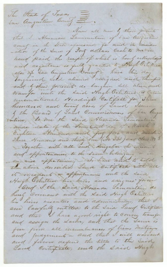
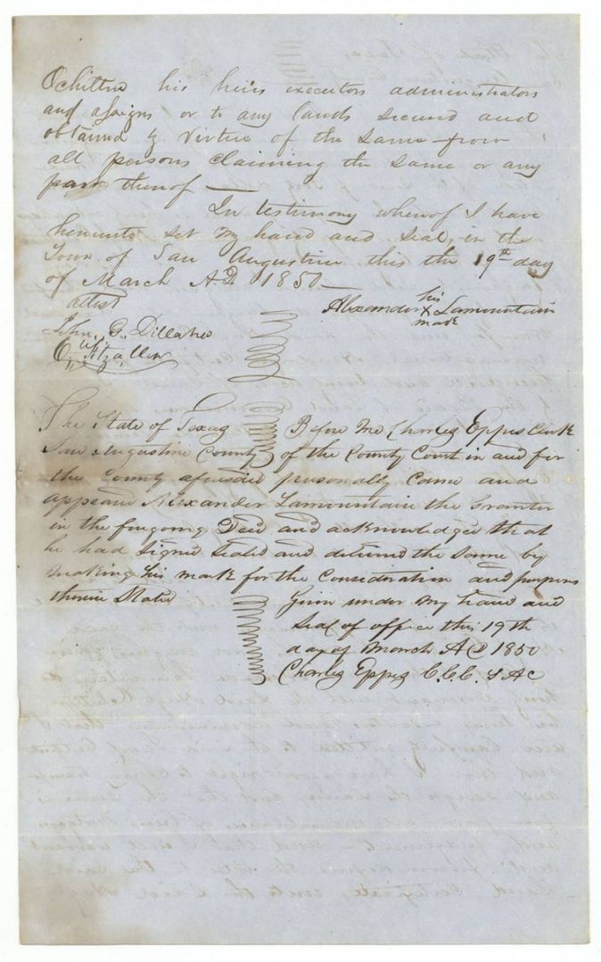
- 19 Mar 1850Alexander Lamountain (signs by mark), of San Augustine County → Hugh Ochiltree, of San Augustine County, $40, San Augustine, Texas. Sells unconditional headright certificate for 320 acres issued by the San Augustine Board 17 March 1845, No. 331, Class 3; warrants title.
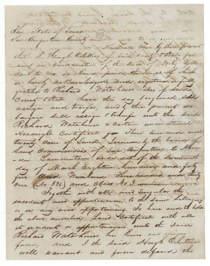
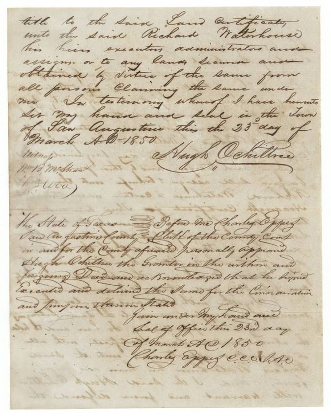
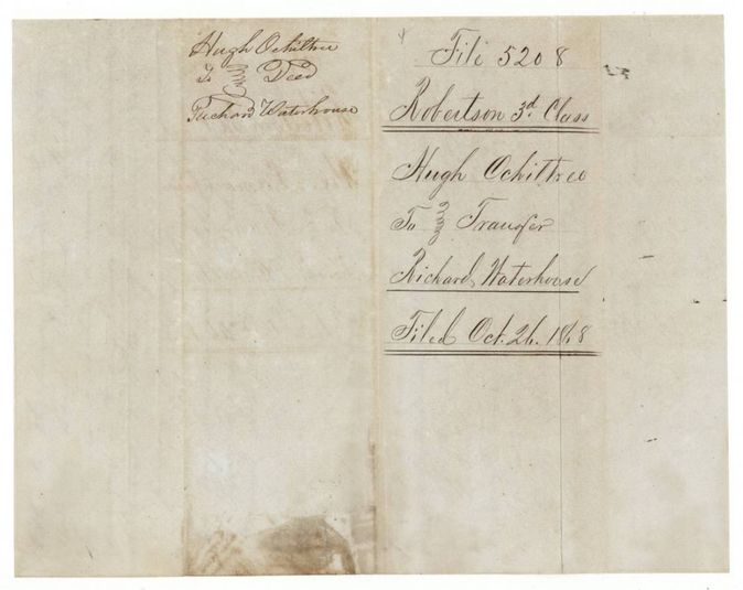
- 23 Mar 1850Hugh Ochiltree, of San Augustine County → Richard Waterhouse, of San Augustine County, $40, San Augustine, Texas. Sells the same certificate (No. 331, Class 3, 320 acres) to Waterhouse; deed and acknowledgment both dated 23 March 1850; both transfers filed in the General Land Office 26 Oct 1868.
The survey
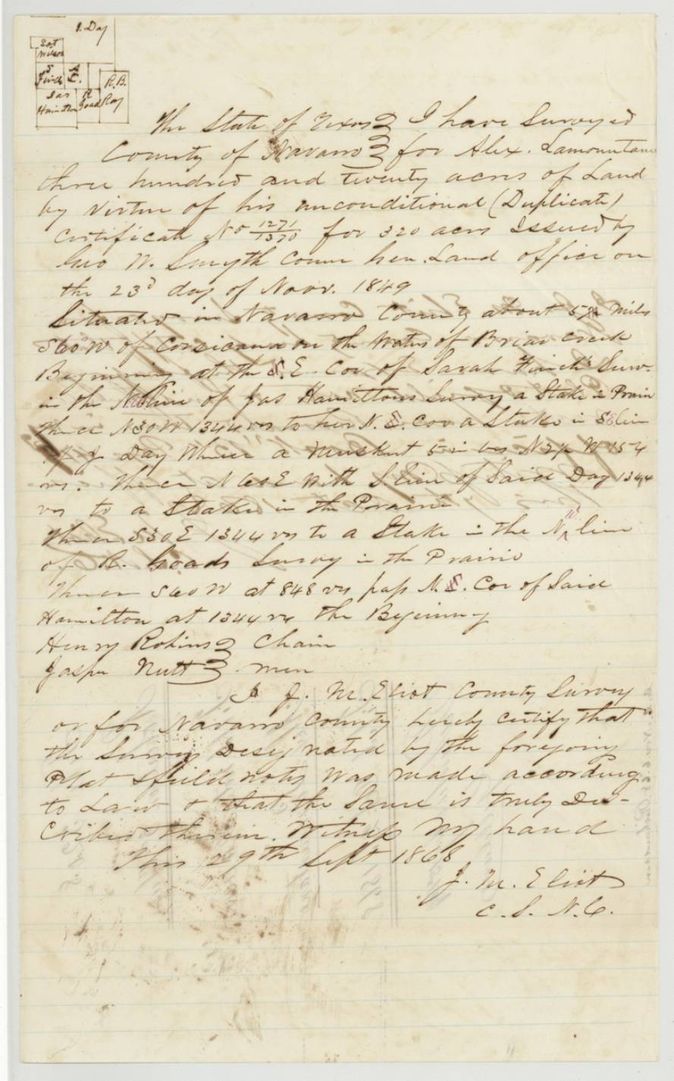
29 Sep 1868, J. M. Eliot, County Surveyor of Navarro County.
Navarro County, about 5 3/4(?) miles S 60 W of Corsicana, on the waters of Briar Creek
Chain carriers: Henry Robins(?), Jasper Nutt.
Book B, page 47 or 49(?)
The patent
13 Aug 1869, No. 547, Vol. 37, to Richard Waterhouse (assignee), delivered to not stated.
Also in the file
- The original certificate (San Augustine, 1845, No. 331) was lost, and a duplicate was issued by the General Land Office in 1849; the duplicate carries the numbers 1271/1370.
- Both transfers were made in March 1850 but filed with the Land Office only on 26 Oct 1868; the survey was made on 29 Sept 1868, eighteen years after the sale.
- Name spelled Lamountane, Lamountain and Lamountaine.
- Index says certificate 1271/1370, patent 13 Aug 1869, No. 547 Vol. 37: matches.
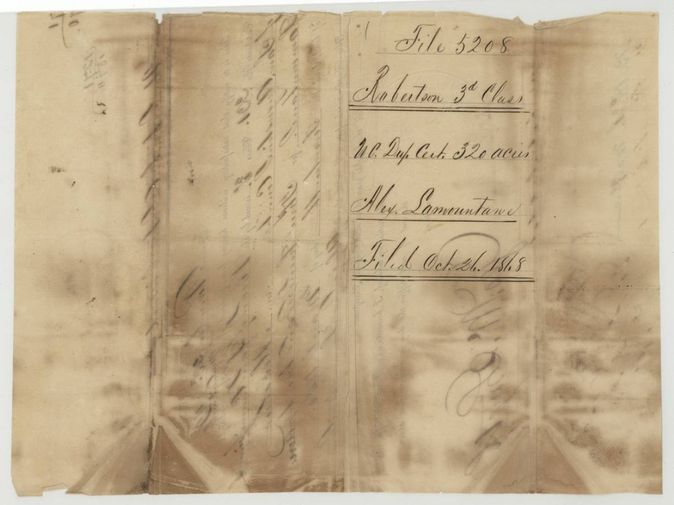
- The duplicate certificate was also filed in the General Land Office only on 26 Oct 1868, with the transfers.
Timeline
- 17 Mar 1845San Augustine County Board of Land Commissioners issues headright certificate No. 331 to Alexander Lamountane
- 23 Nov 1849General Land Office issues a duplicate certificate after proof of loss
- 19 Mar 1850Lamountain sells the certificate to Hugh Ochiltree for $40
- 23 Mar 1850Ochiltree sells it to Richard Waterhouse for $40
- 29 Sep 1868J. M. Eliot surveys 320 acres on Briar Creek
- 9 Oct 1868Eliot certifies the field notes from the county record
- 21 Oct 1868Field notes filed in the General Land Office
- 26 Oct 1868Transfers filed in the General Land Office
- 26 Oct 1868Duplicate certificate filed in the General Land Office
- 9 Nov 1868Marked correct on the map of Navarro County
- 13 Aug 1869Patent No. 547 Vol. 37 to Richard Waterhouse
The papers in the file
Every page of the Land Office file, in the order the Land Office keeps them (11 pages). Tap a page to see it larger.
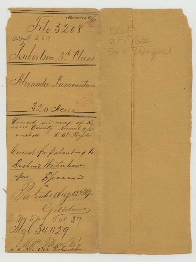
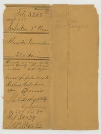 File jacketFile jacket for Alexander Lamountane's 320 acres, Robertson 3rd class, patent to Richard Waterhouse 13 August 1869, No. 547 Vol. 37.General Land Office, file 5208, page 1 · in the scan
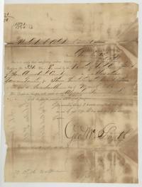 CertificateGeneral Land Office duplicate for lost San Augustine headright No. 331 for 320 acres, signed by Commissioner Geo. W. Smyth, 23 November 1849.General Land Office, file 5208, page 2 · in the scan
 Back of the certificateBack of the duplicate certificate, endorsed 'U.C. Dup. Cert. 320 acres, Alex. Lamountane', filed 26 October 1868.General Land Office, file 5208, page 3 · in the scan
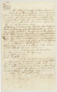 Field notesJ. M. Eliot's field notes and plat for 320 acres on Briar Creek, surveyed 29 September 1868 on the duplicate certificate.General Land Office, file 5208, page 4 · in the scan
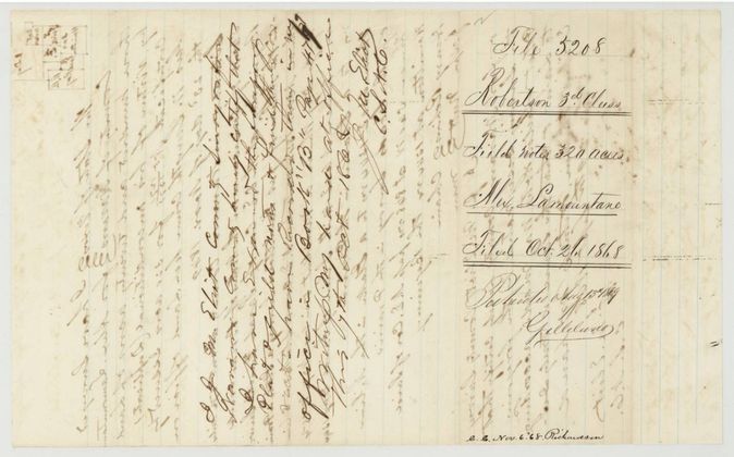
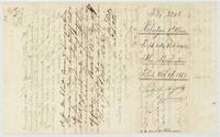 Surveyor's certificateEliot certifies the field notes as a true copy of the county record, 9 October 1868; wrapper filed 21 October 1868 with patent note.General Land Office, file 5208, page 5 · in the scan
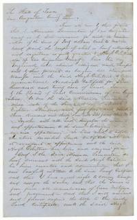 TransferAlexander Lamountain sells his headright certificate No. 331 to Hugh Ochiltree for $40, San Augustine, 19 March 1850.General Land Office, file 5208, page 6 · in the scan
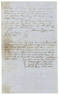 TransferSecond page of the Lamountain deed with witnesses and Clerk Charles Epps's acknowledgment of the mark, 19 March 1850.General Land Office, file 5208, page 7 · in the scan
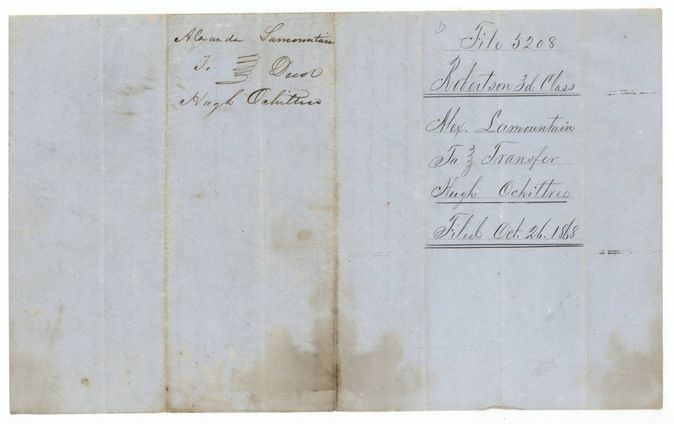
 WrapperWrapper for the Lamountain to Ochiltree deed, filed 26 October 1868.General Land Office, file 5208, page 8 · in the scan
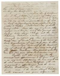 TransferHugh Ochiltree sells the same certificate to Richard Waterhouse for $40, San Augustine, 23 March 1850.General Land Office, file 5208, page 9 · in the scan
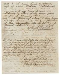 TransferSecond page of the Ochiltree deed with witnesses and Charles Epps's acknowledgment dated 23 March 1850.General Land Office, file 5208, page 10 · in the scan
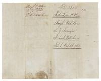 WrapperWrapper for the Ochiltree to Waterhouse transfer, filed 26 October 1868.General Land Office, file 5208, page 11 · in the scan
Scans courtesy of the Texas General Land Office, Austin, from its Land Grant Database.
Neighbouring surveys
Sources
- Texas General Land Office, Land Grant Database: Navarro County, Abstract 507
- The Land Office file, scanned (PDF, at the General Land Office)
- 1924 map: courtesy of the Texas General Land Office, Austin, Map 73249, used under licence. Topo: U.S. Geological Survey, The National Map. Aerial photographs: U.S. Department of Agriculture, National Agriculture Imagery Program, 2012, 2018 and 2022. Survey outlines: Railroad Commission of Texas, Original Texas Land Survey. Grant records and files: Texas General Land Office.