Blackland TX · ← All the original surveys
John A. Barclay Survey, Abstract 54
- Granted to
- John A. Barclay
- Kind of grant
- Headright, first classLand for settlers who were in Texas before independence, 2 March 1836.
- Land Office file
- Robertson 1st class, file 1002
- Certificate
- No. 3079/3180
- Acres
- 178
- Patented to
- John A. Barclay
- Patent
- 16 Sep 1872 · No. 90, Vol. 19
Tap a survey to open its page.
What the file shows
John A. Barclay's one-third league headright, certificate 3079/3180 of 1853 (re-issued as triplicate 29/205 in 1870), was located in three surveys on Richland Creek southwest of Corsicana by J. M. Eliot in 1857-59 and corrected by John W. Irwin in 1872. Title ran from Barclay's heir mother Mary Barkley to Henry Jones, whose attorney John B. Jones pursued the patents. The Land Office questioned the overlaps in 1871 and issued patents in 1871, 1872 and 1873 to Barclay.
The certificate
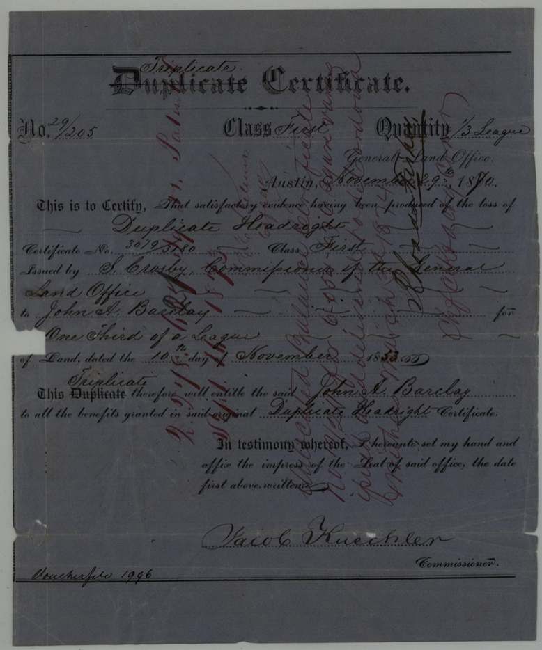
headright 1st class (duplicate, then triplicate certificate), No. 3079/3180 (duplicate); triplicate No. 29/205, one-third of a league; located 94 + 178 + 131.56 acres in this file, S. Crosby, Commissioner of the General Land Office (duplicate, 10 Nov 1853); Jacob Kuechler, Commissioner (triplicate, 29 Nov 1870), Austin, 1853-11-10 (duplicate); 1870-11-29 (triplicate).
Original headright of John A. Barkley/Barclay, who died in the Republic of Texas; his mother Mary Barkley of Fayette County, Alabama, was declared sole heir in Fort Bend probate in 1844 and her attorneys sold all his claims to Henry Jones in 1846. Duplicate lost; triplicate issued 1870.
Changes of hand
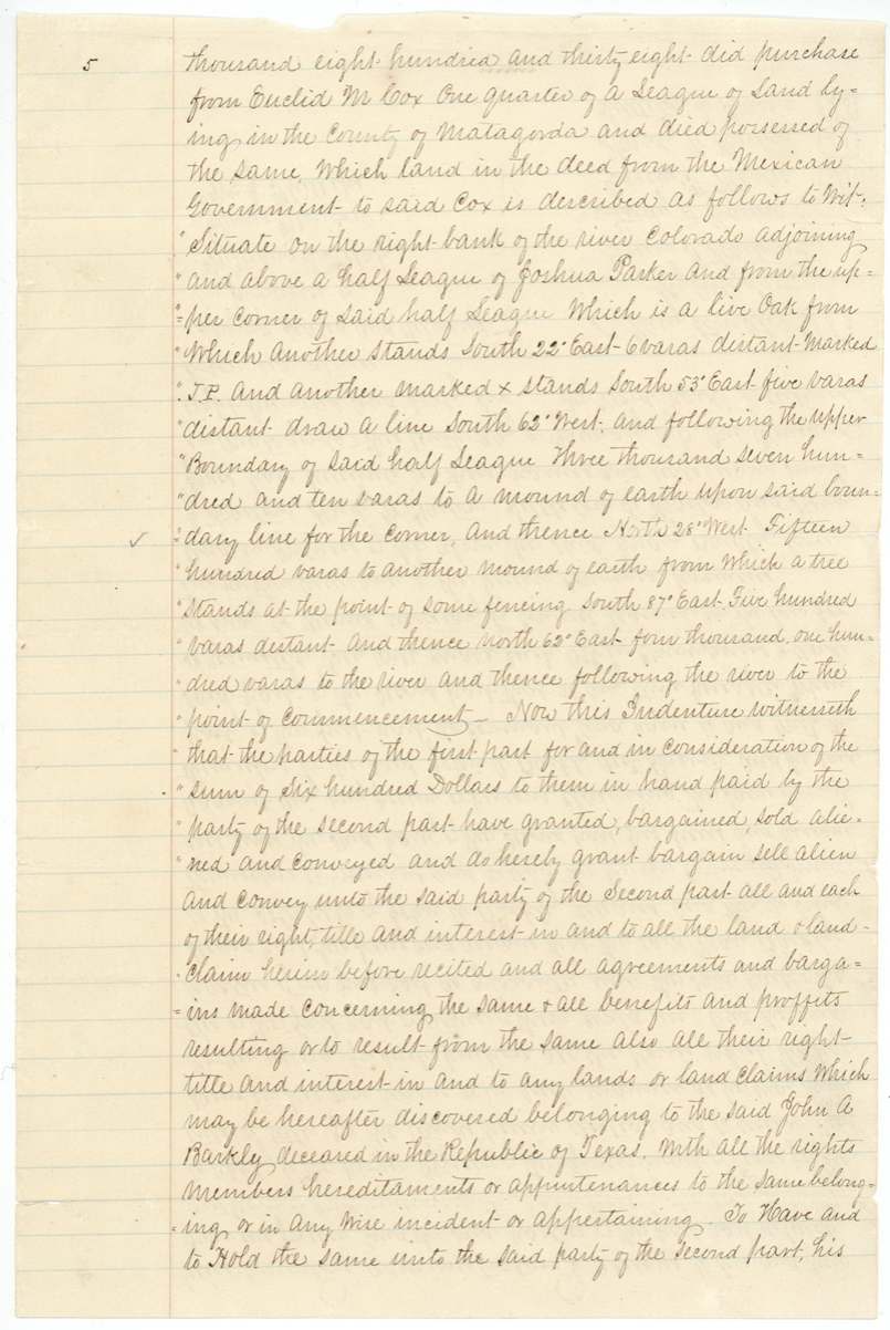
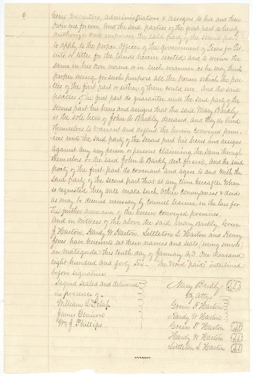
- 10 Jan 1846Mary Barkley (Barkly), sole heir of John A. Barkley, by attorneys Green T. Harton and Hardy W. Harton, and Littleton L. Harton, all of Fayette County, Alabama → Henry Jones of Matagorda County, $600, Matagorda, Republic of Texas. Sells all Barkley's land claims in Texas, listing a headright of one-third league, bounty warrants of 640 and 320 acres, and a 1838 quarter-league purchase from Euclid M. Cox; the deed also conveys his interests in claims of James W. Foster, Benjamin F. Foster, Edward R. Johnson, Sutherland Mayfield, John Beauchamp and Leroy Smith given to Euclid M. Cox and J. E. Scott to locate
The survey
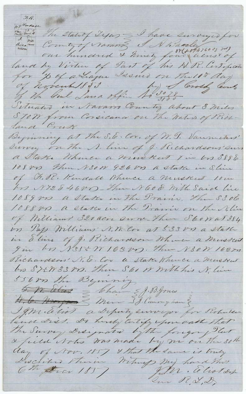
1857-11-30 (certified 1857-12-06); corrected 1872-02-07, J. M. Eliot, Deputy Surveyor, Robertson Land District (later County Surveyor of Navarro County); corrected 1872 by John W. Irwin, County Surveyor.
Navarro County on the waters of Richland Creek, about 3 miles S 70 W of Corsicana (1872 corrected notes: about 3 miles S 72 W)
Chain carriers: J. B. Jones, J. Cunningham.
Book U p. 228; corrected Book C p. 79
The survey
1859-02-24 (certified 1859-02-25); corrected 1872-02-07, J. M. Eliot, County Surveyor of Navarro County; corrected 1872 by John W. Irwin.
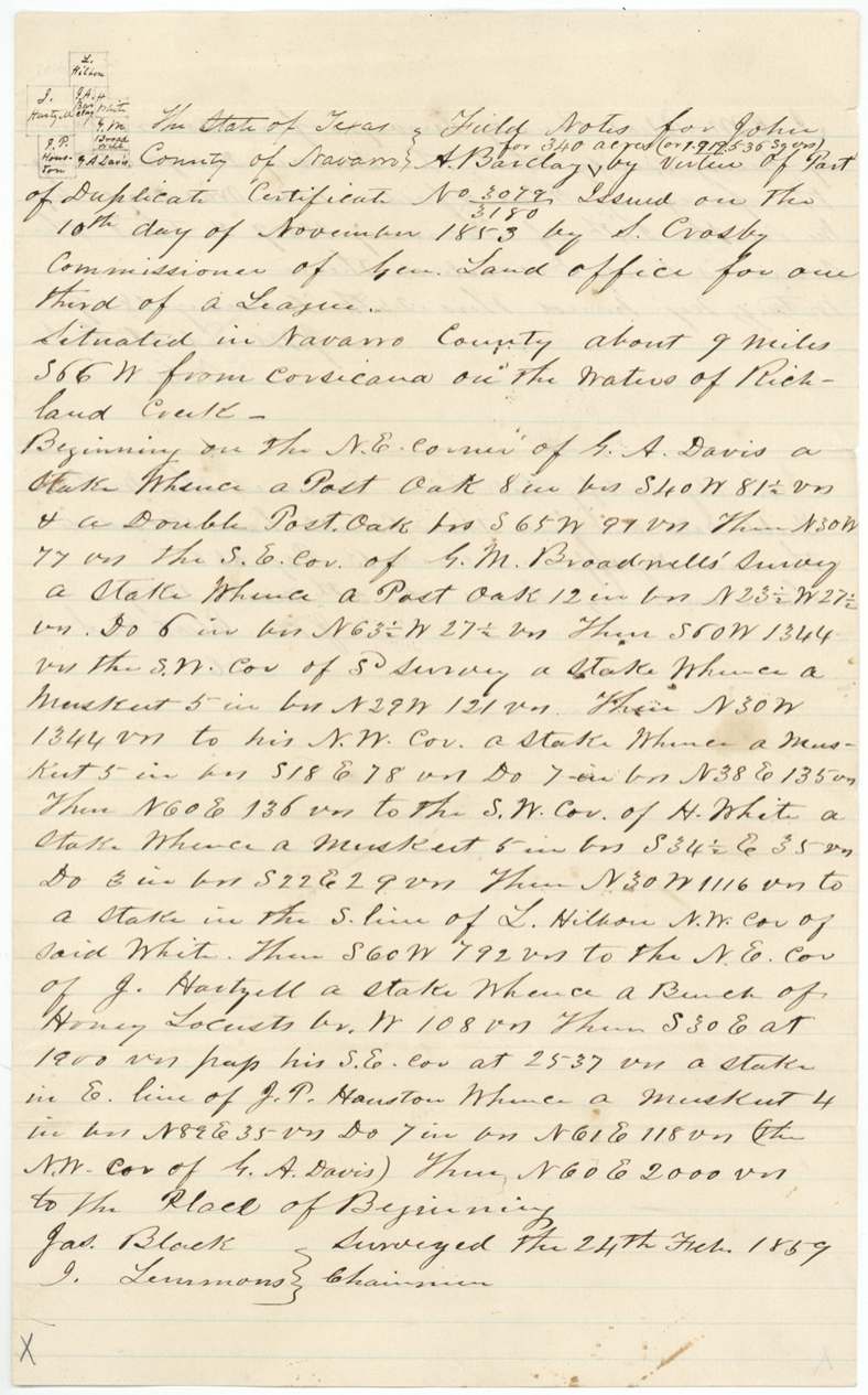
Navarro County on Richland Creek, about 9 miles S 66 W of Corsicana (corrected: 10 1/2 miles S 64 W)
Chain carriers: Jas. Black, I. Lemmons(?).
Book B p. 350; corrected Book C p. 80
The survey
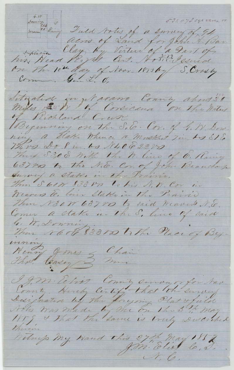
1859-05-05 (certified 1859-05-27), J. M. Eliot, County Surveyor of Navarro County.
Navarro County on the waters of Richland Creek, about 20 miles (18 1/2 and S 75 W interlined) from Corsicana
Chain carriers: Henry Jones, Thos. Casey.
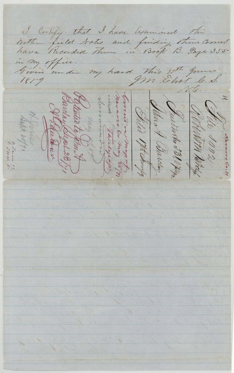
Book B p. 335
The patent
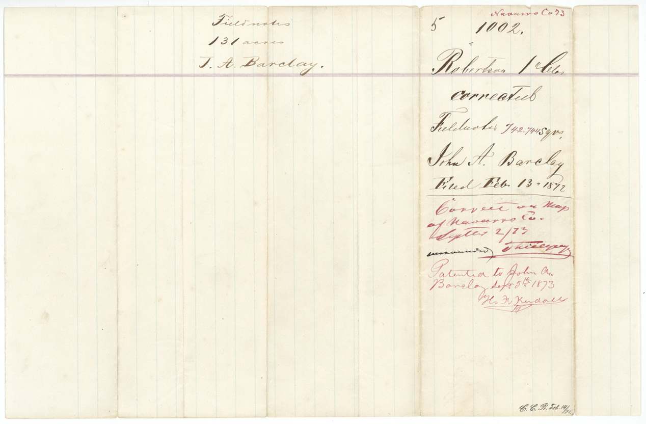
Abs 55: 1871-09-23; Abs 54: 1872-09-16; Abs 53: 1873-09-05, Abs 55: No. 666 Vol. 18; Abs 54: No. 90 Vol. 19; Abs 53: No. 572 Vol. 19, to John A. Barclay, delivered to not stated.
Also in the file
- The first survey was called 194 acres at 1,096,054 sq. varas but was corrected in 1872 to 1,004,840 sq. varas (178 acres); the 1859 survey was called 340 acres and cut to 131 acres.
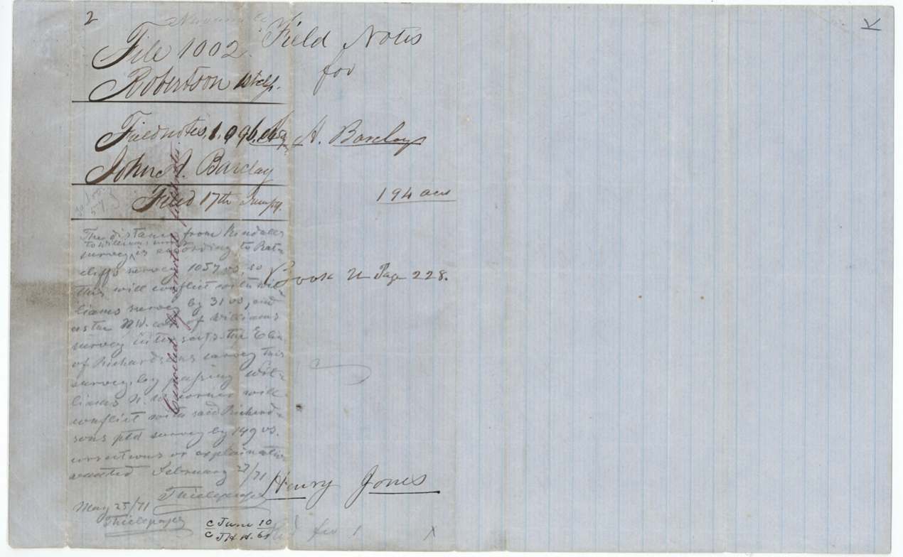
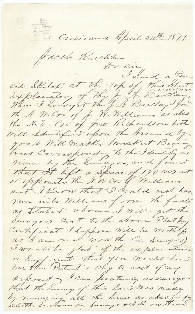
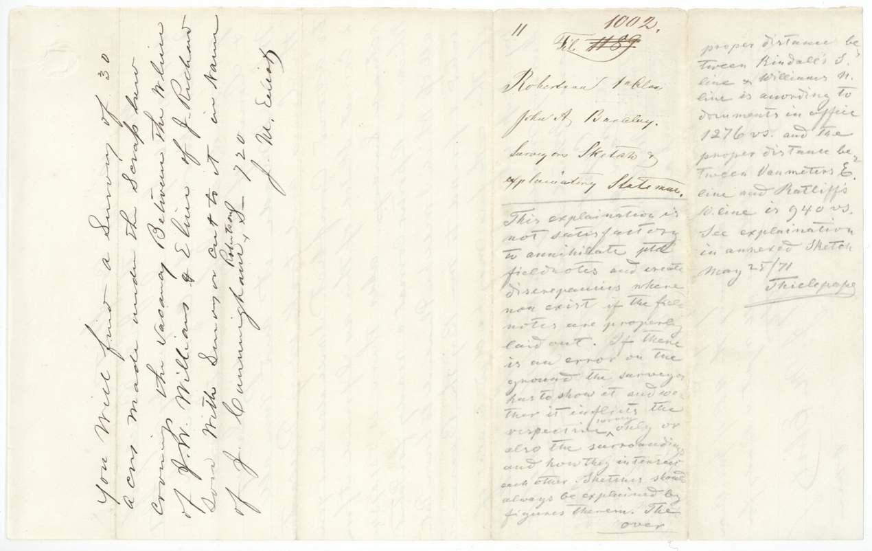
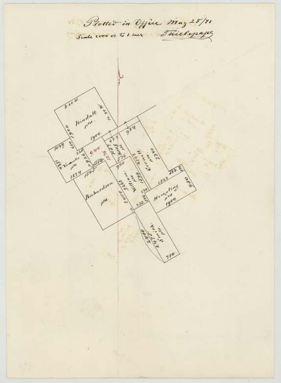
- Eliot's 1871 letter says his survey left a space of 170 varas opposite Williams's NW corner and denies any conflict; Thielepape had noted on 27 Feb 1871 a 31-vara conflict with Williams and 149 varas with Richardson, and on 25 May 1871 called the explanation unsatisfactory.
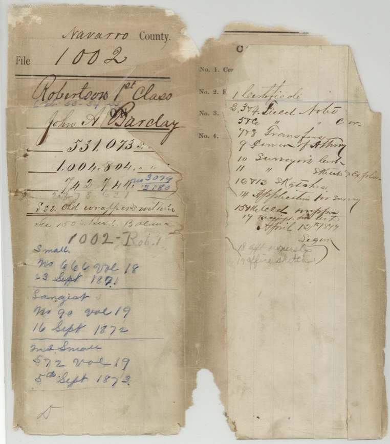
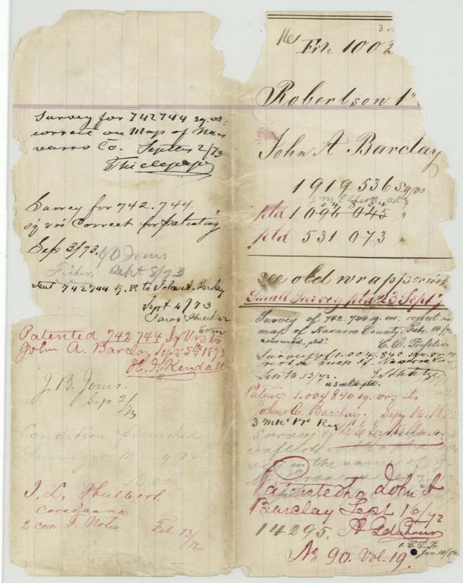
- The jacket shows 'Small. No 666 Vol 18 23 Sept 1871', 'No 90 vol 19 16 Sept 1872' and '572 vol 19 5 Sept 1873' as the three patents, matching the index.
- Chain carriers on the 1857 plat include a crossed-out pair (G. W. Eliot(?) and W. G. Morgan(?)) replaced by J. B. Jones and J. Cunningham.
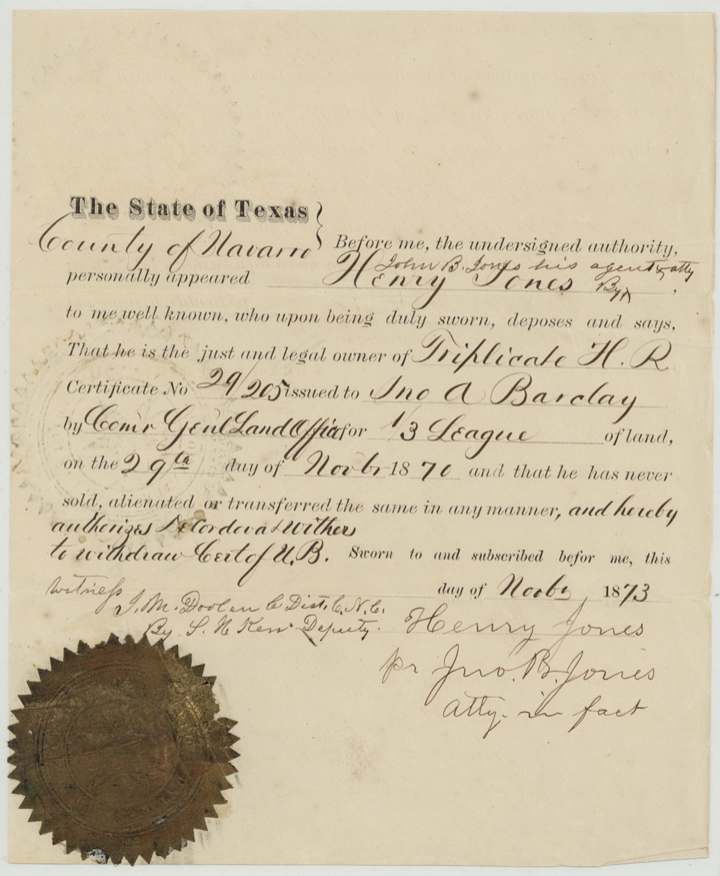
- The patentee is Barclay, but title ran through Mary Barkley (his mother and heir) to Henry Jones; the Henry Jones affidavit of Nov 1873 calls him owner of the triplicate certificate.
- Name spelled Barclay, Barkly and Barkley across the file.
- The 1857 field notes give the survey date as 30 Nov 1857, but Irwin's 1872 corrected notes call it 'made Dec 6th 1857' (the certification date) and cite it as recorded Book B p. 219.
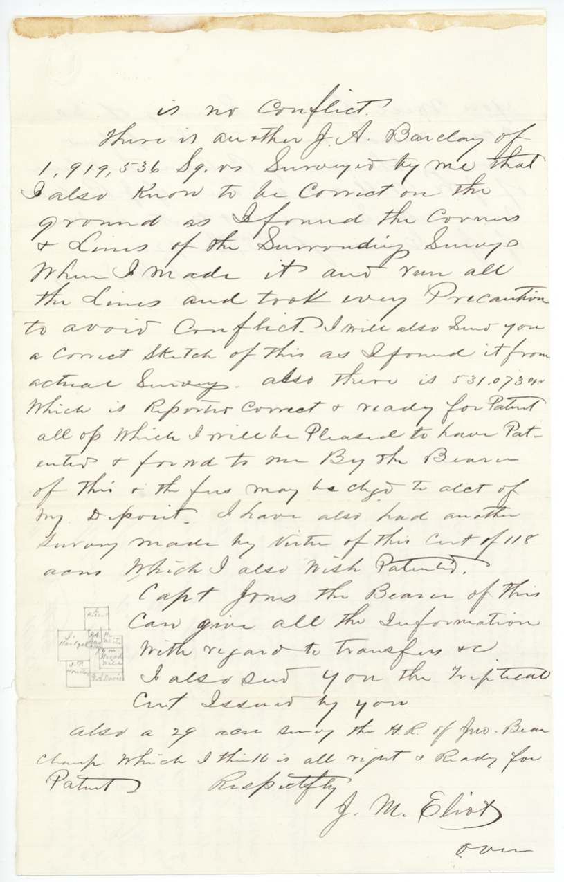
- Eliot's April 1871 letter says he is 'not now the Co. Surveyor', and also mentions a 118-acre survey and a 29-acre John Beauchamp headright survey under the same business, plus a 30-acre scrap survey cut to J. Cunningham.
Timeline
- 26 Jan 1838John A. Barkley buys a quarter league from Euclid M. Cox in Matagorda County
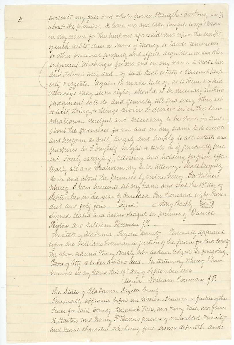
- 19 Sep 1844Mary Barkley of Fayette County, Alabama, gives power of attorney to Green T. and Hardy W. Harton
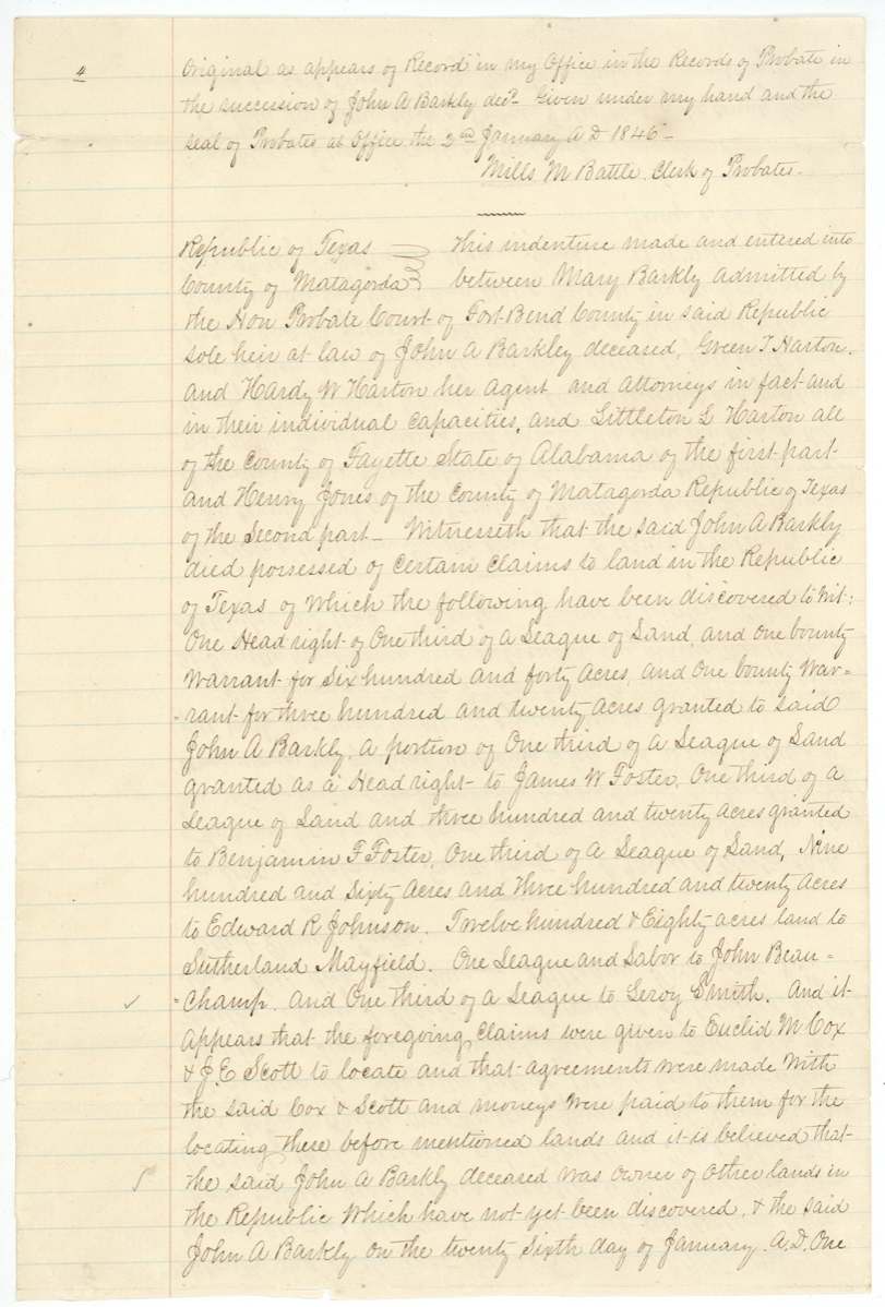
- 25 Nov 1844Fort Bend probate court declares Mary Barkley sole heir
- 10 Jan 1846Barkley's heirs sell all his Texas claims to Henry Jones for $600
- 10 Nov 1853Duplicate headright certificate 3079/3180 issued to John A. Barclay
- 30 Nov 1857J. M. Eliot surveys 194 acres on Richland Creek (certified 6 Dec 1857)
- 24 Feb 1859Eliot surveys 340 acres
- 5 May 1859Eliot surveys 94 acres
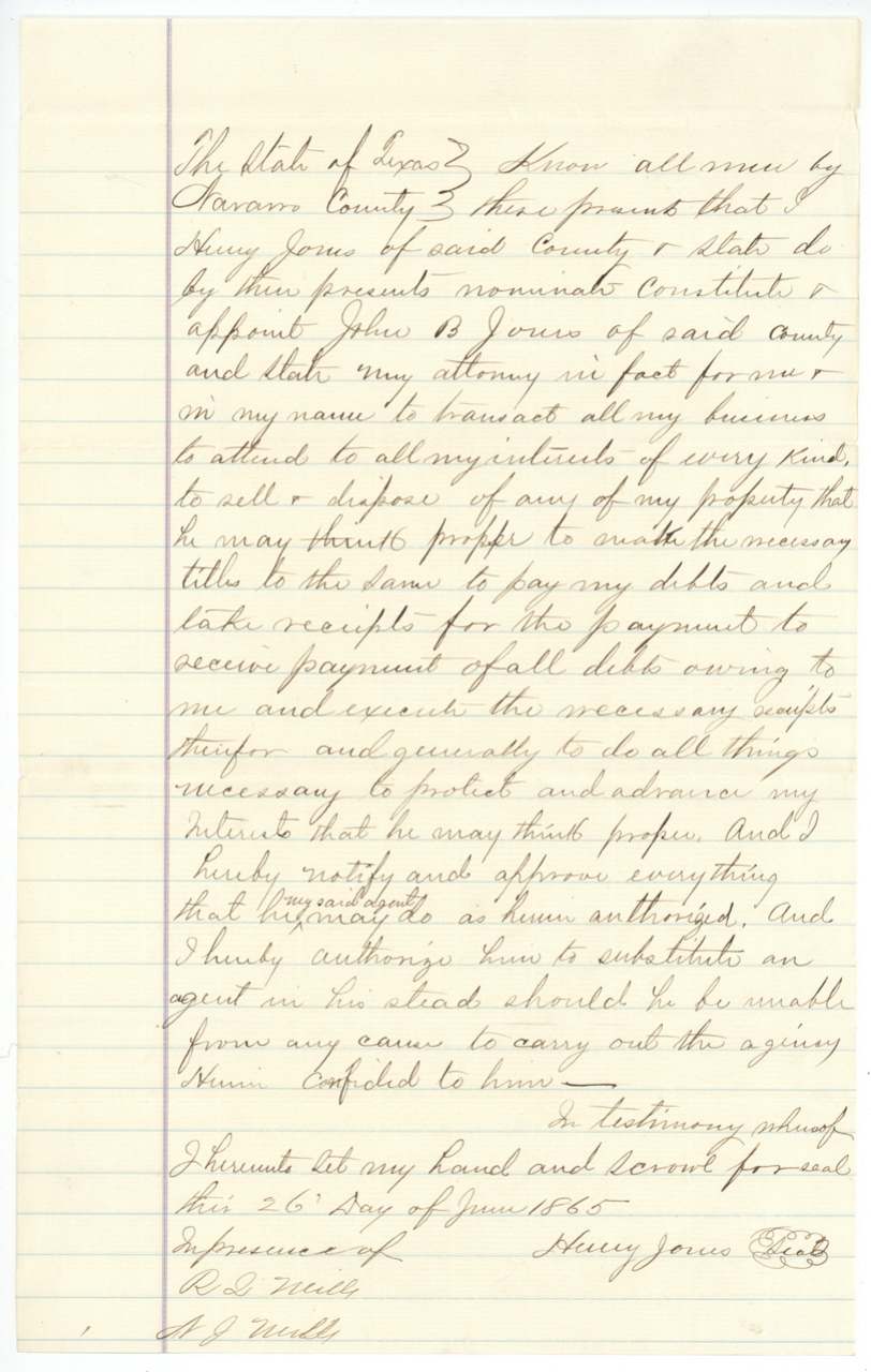
- 26 Jun 1865Henry Jones appoints John B. Jones attorney in fact
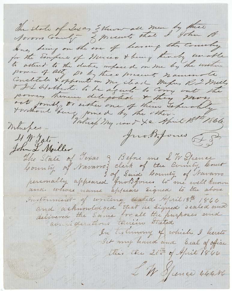
- 18 Apr 1866John B. Jones, about to leave for Mexico, substitutes R. L. Mills and J. L. Holbert(?) as agents
- 29 Nov 1870Triplicate certificate 29/205 issued
- 24 Apr 1871Eliot writes to Commissioner Kuechler explaining the surveys
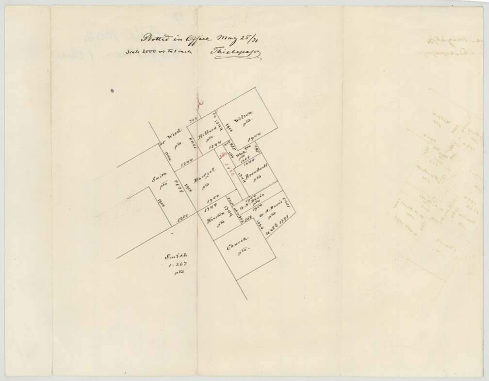
- 25 May 1871Land Office plots the surveys and criticises the explanation
- 23 Sep 1871Patent No. 666 Vol. 18 for 94 acres
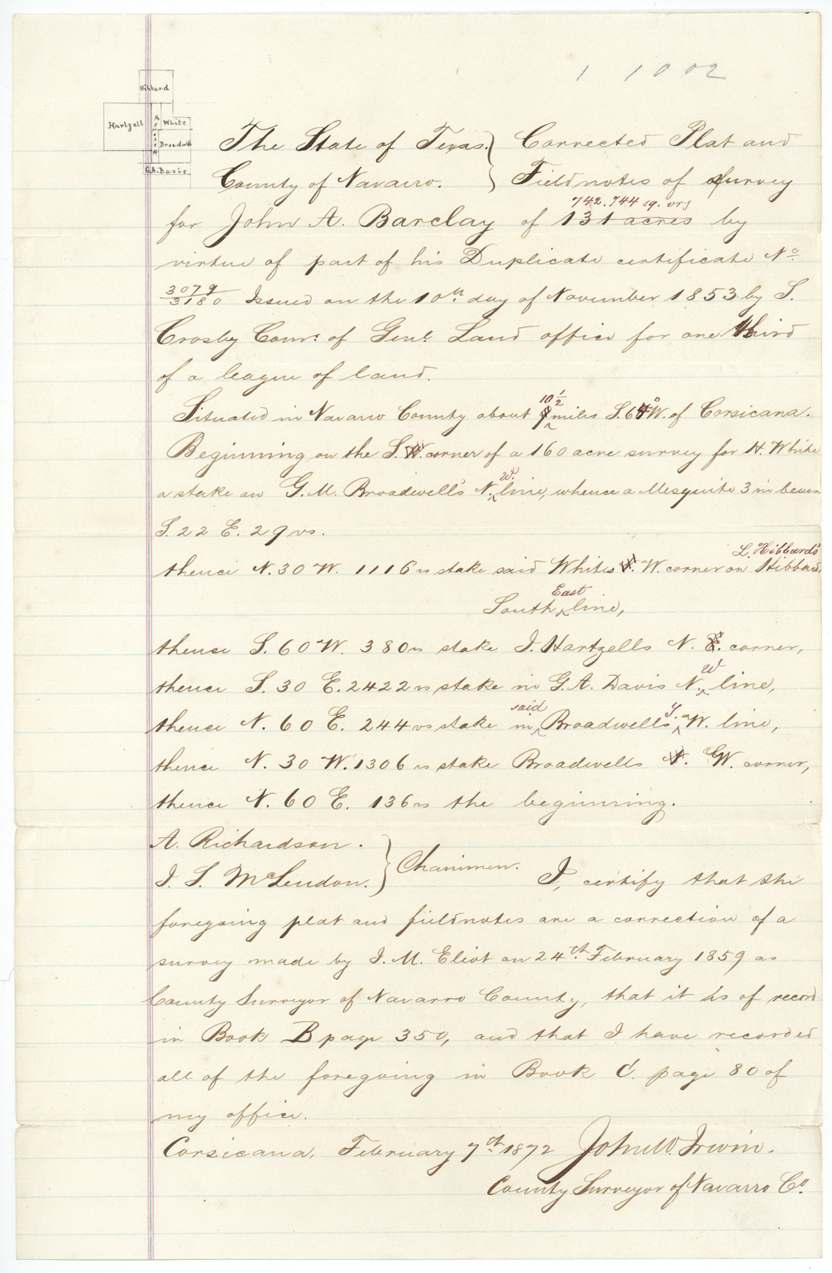
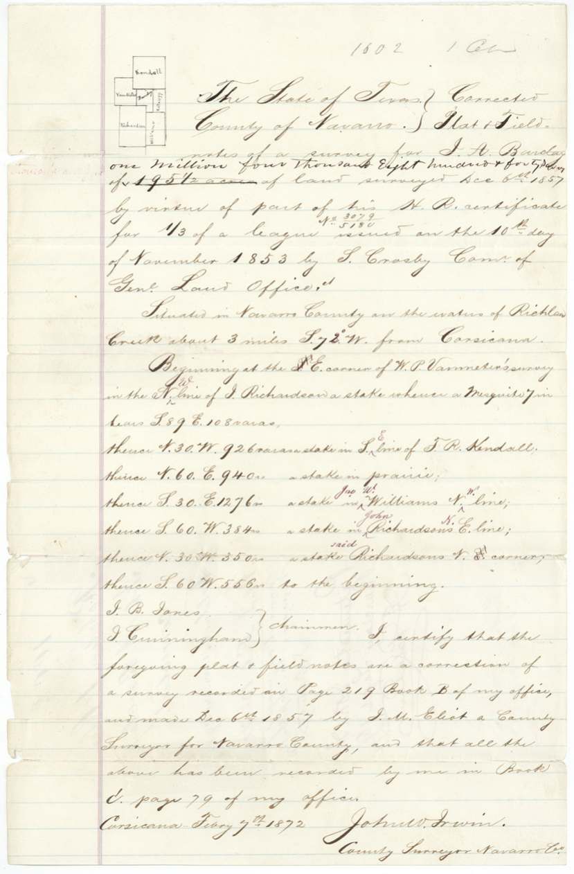
- 7 Feb 1872John W. Irwin certifies corrected field notes for 131 and 178 acres
- 16 Sep 1872Patent No. 90 Vol. 19 for 178 acres
- 5 Sep 1873Patent No. 572 Vol. 19 for 131.56 acres
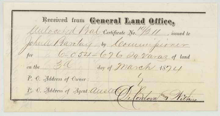
- 3 Mar 1874Unlocated balance certificate 14/211 receipted at the Land Office
The papers in the file
Every page of the Land Office file, in the order the Land Office keeps them (56 pages). Tap a page to see it larger.
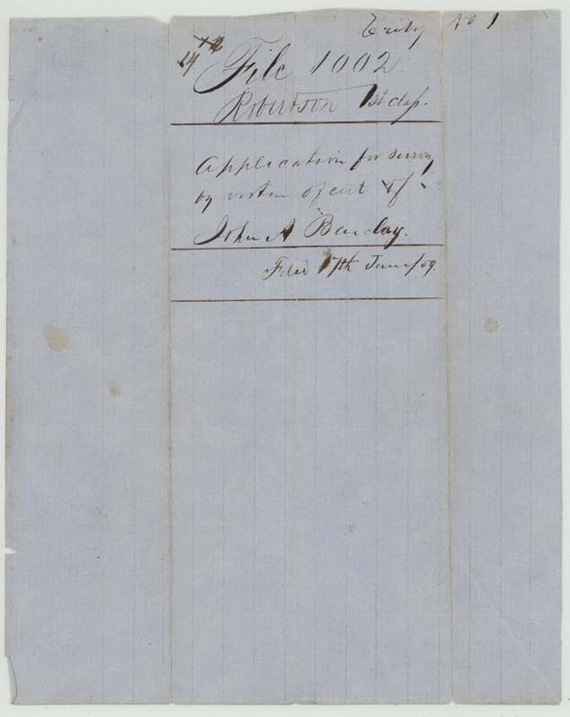
 File jacketFile jacket for John A. Barclay's headright, listing the three surveys patented to him in 1871, 1872 and 1873.General Land Office, file 1002, page 1 · in the scan
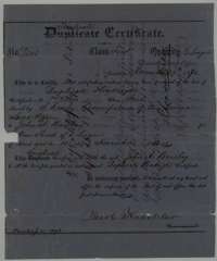 CertificateTriplicate headright certificate issued at Austin on 29 November 1870 by Commissioner Jacob Kuechler for one-third league for John A. Barclay, replacing a lost duplicate.General Land Office, file 1002, page 2 · in the scan
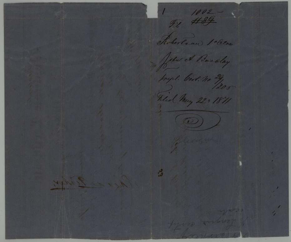
 Back of the certificateBack of the triplicate certificate, with the Land Office filing note of 22 May 1871.General Land Office, file 1002, page 3 · in the scan
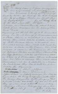 Field notesField notes and plat for 194 acres on Richland Creek, surveyed for John A. Barclay by deputy surveyor J. M. Eliot, 30 November 1857.General Land Office, file 1002, page 4 · in the scan
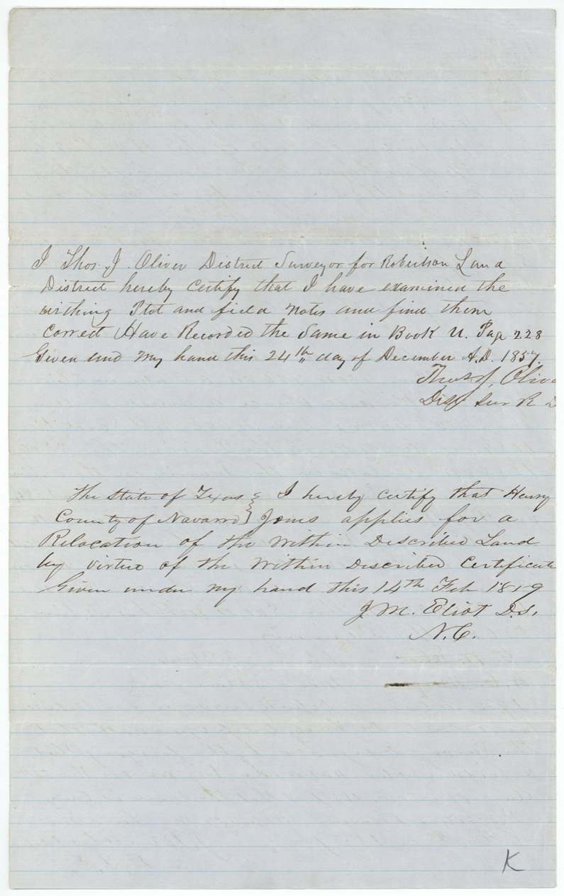
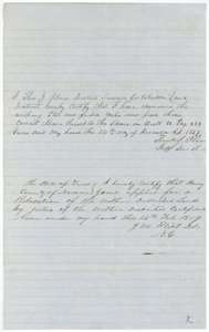 Surveyor's certificateDistrict surveyor Thomas J. Oliver's certificate of 24 December 1857 recording the notes, with J. M. Eliot's note of 14 February 1859 on a relocation by Henry Jones.General Land Office, file 1002, page 5 · in the scan
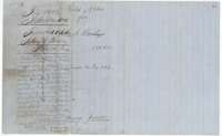 WrapperWrapper for the 194-acre field notes, recorded in Book U, page 228, and signed by Henry Jones.General Land Office, file 1002, page 6 · in the scan
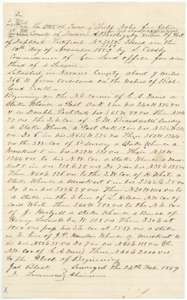 Field notesField notes and plat for 340 acres on Richland Creek, surveyed for John A. Barclay by county surveyor J. M. Eliot, 24 February 1859.General Land Office, file 1002, page 7 · in the scan
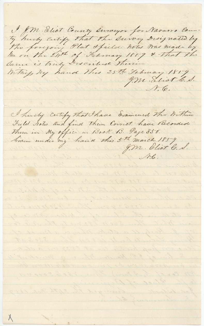
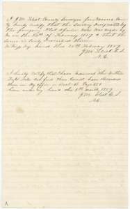 Surveyor's certificateCounty surveyor J. M. Eliot's certificates of 25 February and 5 March 1859 that the 340-acre survey is correct and recorded in Book B, page 350.General Land Office, file 1002, page 8 · in the scan
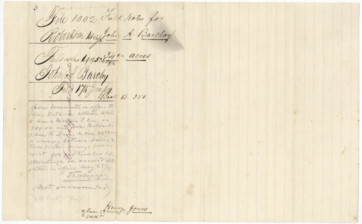
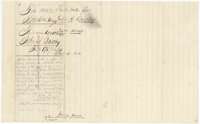 WrapperWrapper for the 340-acre field notes, with a Land Office note on the survey's conflict with neighboring tracts.General Land Office, file 1002, page 9 · in the scan
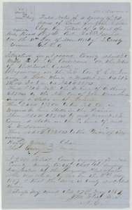 Field notesField notes and plat for 94 acres on Richland Creek, surveyed for John A. Barclay by county surveyor J. M. Eliot, 5 May 1859.General Land Office, file 1002, page 10 · in the scan
 Surveyor's certificateCounty surveyor J. M. Eliot's certificate that the 94-acre notes are correct and recorded in Book B, page 355, with Land Office patent notes.General Land Office, file 1002, page 11 · in the scan
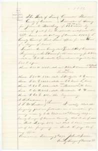 PlatCorrected plat and field notes for 131 acres for John A. Barclay, made by county surveyor John W. Irwin on 7 February 1872.General Land Office, file 1002, page 12 · in the scan
 WrapperWrapper for the corrected 131-acre field notes, filed 13 February 1872 and marked patented to John A. Barclay in September 1873.General Land Office, file 1002, page 13 · in the scan
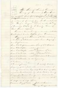 PlatCorrected plat and field notes for 178 acres for John A. Barclay, made by county surveyor John W. Irwin on 7 February 1872.General Land Office, file 1002, page 14 · in the scan
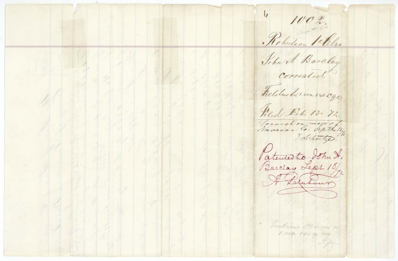
 WrapperWrapper for the corrected 178-acre field notes, filed 13 February 1872 and marked patented to John A. Barclay in September 1872.General Land Office, file 1002, page 15 · in the scan
 WrapperWrapper for the field notes of the 178-acre survey for John A. Barclay.General Land Office, file 1002, page 16 · in the scan
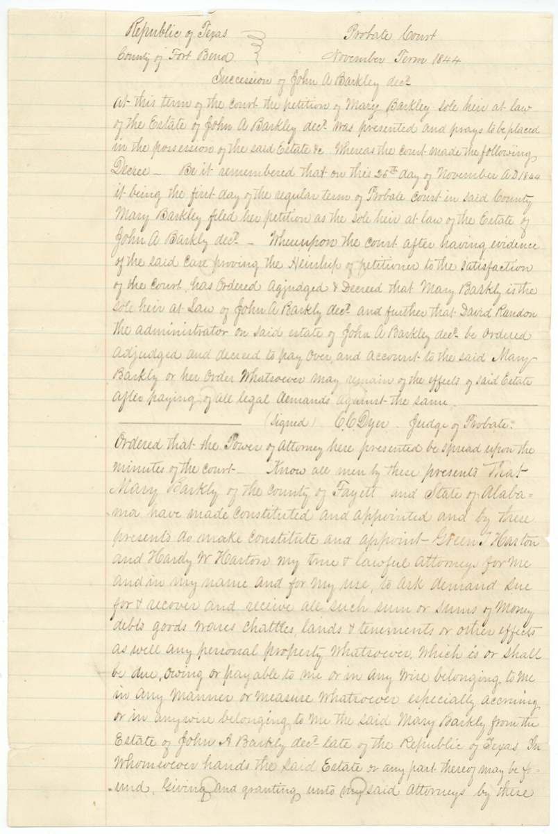
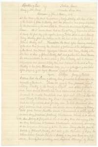 Other papersCopy of the Fort Bend County probate court record of November 1844 naming Mary Barkley sole heir of John A. Barkley, followed by her power of attorney.General Land Office, file 1002, page 17 · in the scan
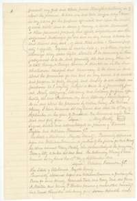 Power of attorneyMary Barkly's power of attorney of 19 September 1844 from Fayette County, Alabama, to Green T. and Hardy W. Harton, signed before a justice of the peace.General Land Office, file 1002, page 18 · in the scan
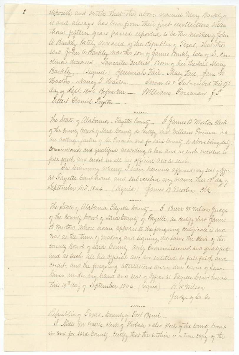
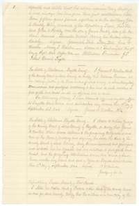 AffidavitAffidavit of 19 September 1844 by Alabama neighbors that Mary Barkly is the mother of John A. Barkly, with the county clerk's certificates.General Land Office, file 1002, page 19 · in the scan
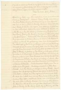 TransferFort Bend clerk's certificate of 2 January 1846 that the probate record is a true copy, and the opening of the 10 January 1846 deed to Henry Jones.General Land Office, file 1002, page 20 · in the scan
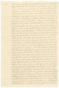 TransferDeed in which Mary Barkly and the Hartons sold John A. Barkly's Texas land claims, including this headright, to Henry Jones at Matagorda for $600.General Land Office, file 1002, page 21 · in the scan
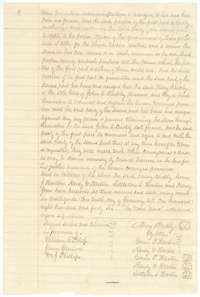 TransferClose of the deed to Henry Jones, signed by Mary Barkly by her attorneys and by the three Hartons before witnesses.General Land Office, file 1002, page 22 · in the scan
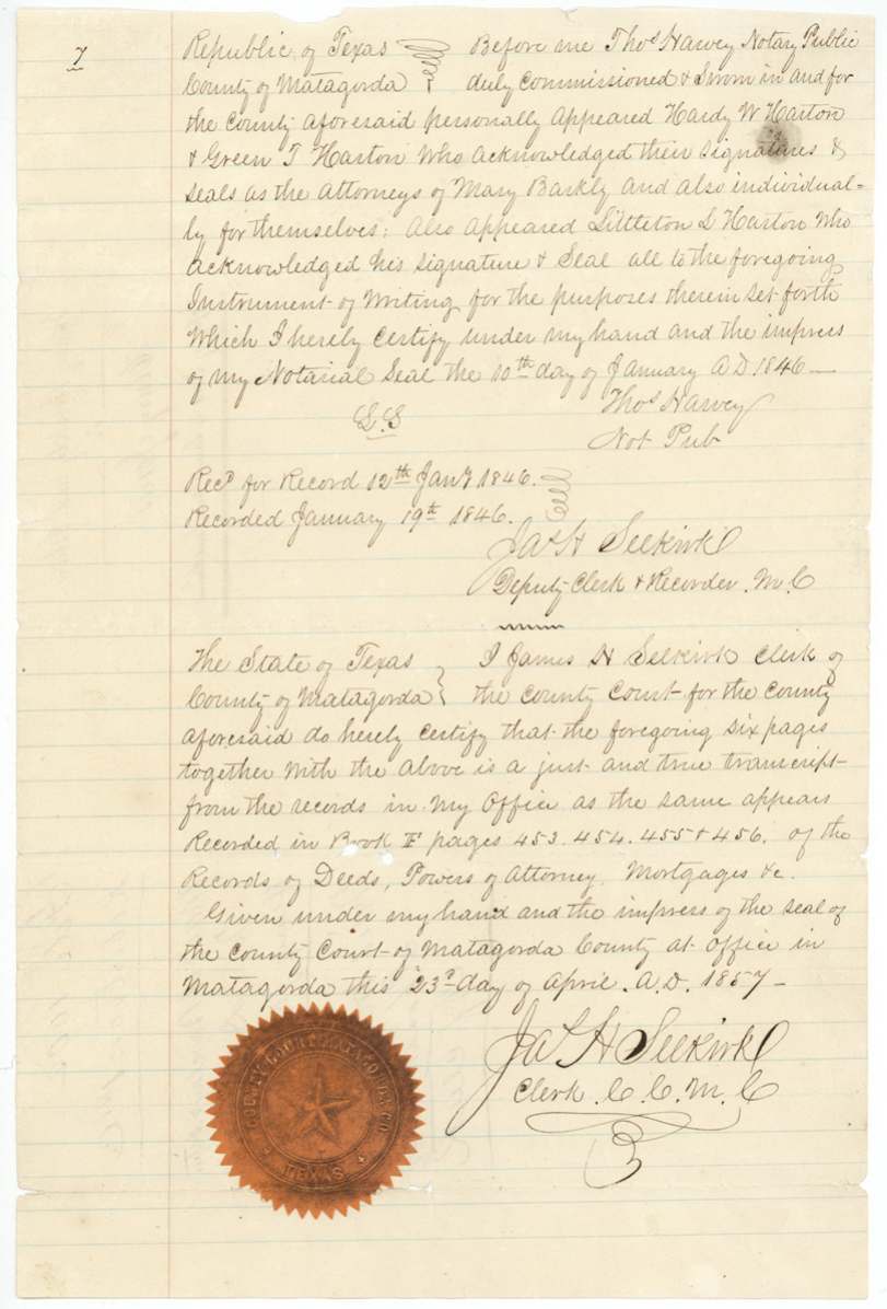
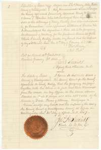 AffidavitNotary's acknowledgment of the Matagorda deed of 10 January 1846, with the Matagorda county clerk's certified-copy certificate of 23 April 1857.General Land Office, file 1002, page 23 · in the scan
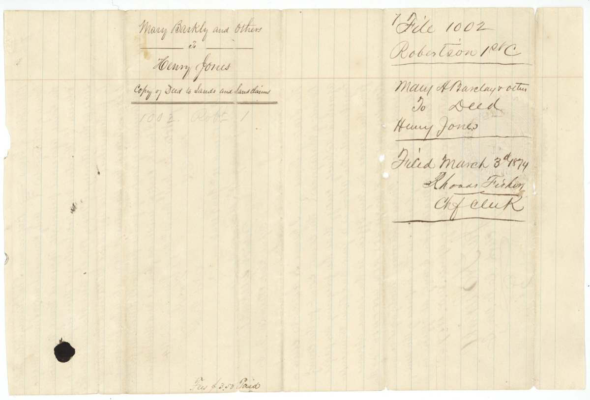
 WrapperWrapper for the copy of the deed from Mary Barkly and others to Henry Jones, filed at the Land Office on 3 March 1874.General Land Office, file 1002, page 24 · in the scan
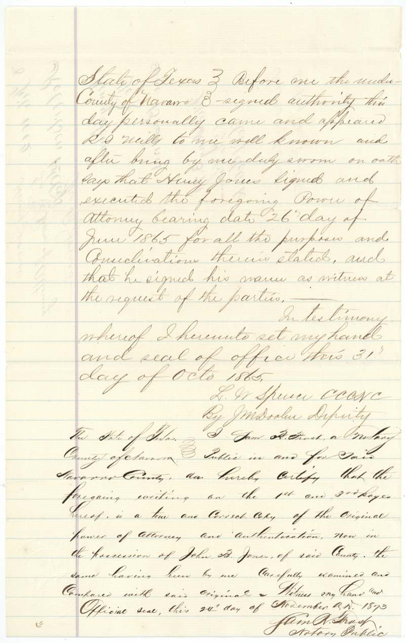
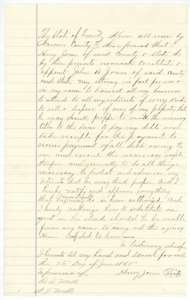 Power of attorneyCopy of Henry Jones's power of attorney of 26 June 1865 naming John B. Jones his attorney in fact.General Land Office, file 1002, page 25 · in the scan
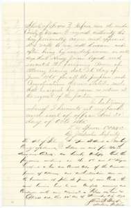 AffidavitProof of the power of attorney by R. L. Mills, dated 31 October 1865, with a notary's certificate of 1873 that this is a true copy.General Land Office, file 1002, page 26 · in the scan
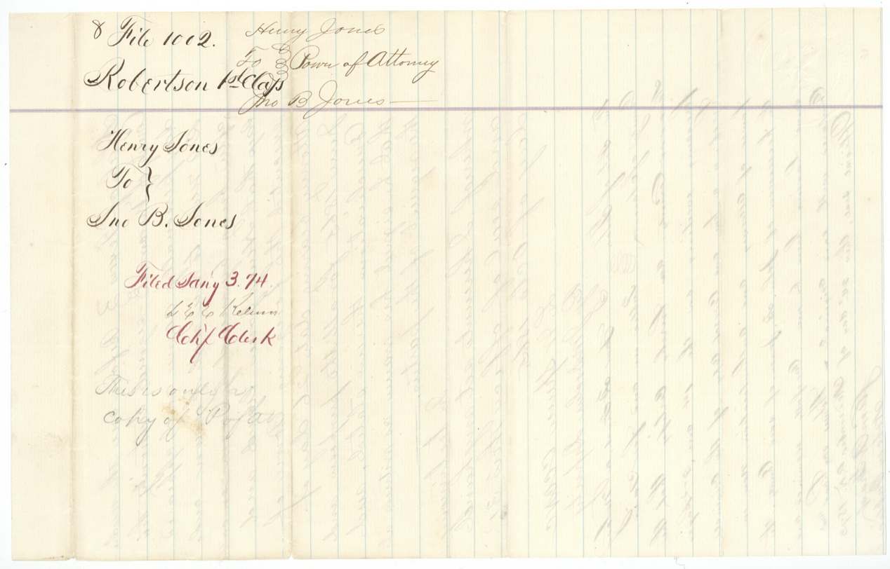
 WrapperWrapper for the copy of Henry Jones's power of attorney to John B. Jones, filed at the Land Office on 3 January 1874.General Land Office, file 1002, page 27 · in the scan
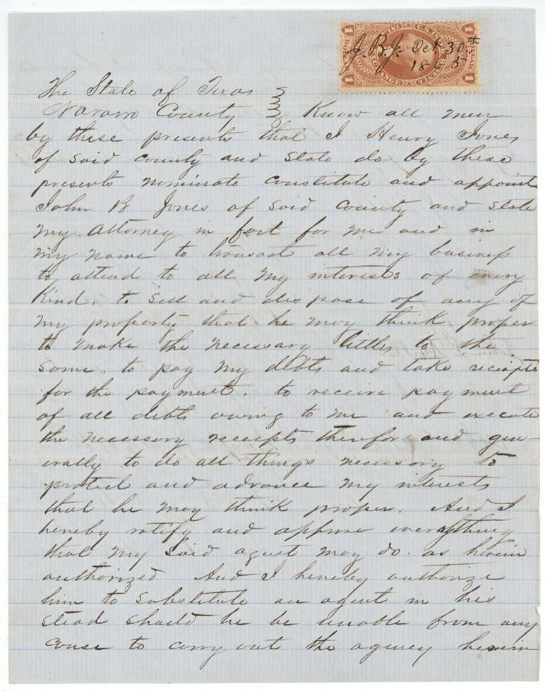
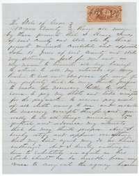 Power of attorneyOriginal power of attorney of 26 June 1865 from Henry Jones to John B. Jones, with a cancelled revenue stamp.General Land Office, file 1002, page 28 · in the scan
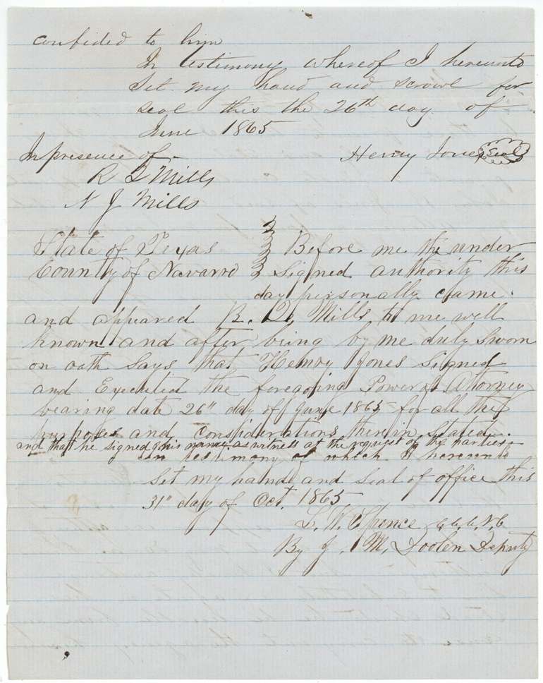
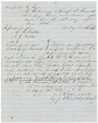 AffidavitClose of the 1865 power of attorney and the Navarro County clerk's proof of it, 31 October 1865.General Land Office, file 1002, page 29 · in the scan
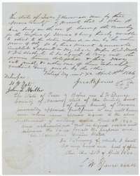 Power of attorneySubstitution of 18 April 1866 in which John B. Jones, about to leave for Mexico, names R. L. Mills and another as agents, acknowledged 20 April 1866.General Land Office, file 1002, page 30 · in the scan
 WrapperWrapper and recording note for the power of attorney from Henry Jones to John B. Jones, recorded in Navarro County on 14 November 1865.General Land Office, file 1002, page 31 · in the scan
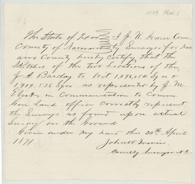
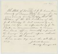 Surveyor's certificateCertificate of 24 April 1871 by county surveyor John W. Irwin that J. M. Eliot's sketches of the Barclay surveys match the ground.General Land Office, file 1002, page 32 · in the scan
 WrapperWrapper for the county surveyor's certificate, filed at the Land Office on 20 May 1871.General Land Office, file 1002, page 33 · in the scan
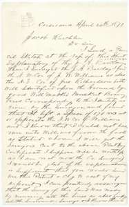 LetterLetter of 24 April 1871 from J. M. Eliot at Corsicana to Commissioner Jacob Kuechler explaining his Barclay surveys and where they join neighboring tracts.General Land Office, file 1002, page 34 · in the scan
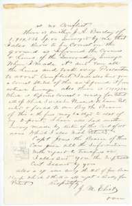 LetterSecond page of Eliot's letter, asking that the patents be sent and mentioning further small surveys on the Barclay headright.General Land Office, file 1002, page 35 · in the scan
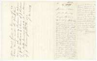 WrapperWrapper for Eliot's sketch and explanatory statement, with the Land Office draftsman's note of 25 May 1871 that the explanation does not settle the conflicts.General Land Office, file 1002, page 36 · in the scan
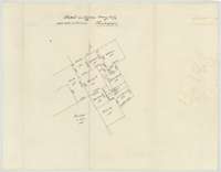 PlatLand Office sketch plotted 25 May 1871 showing the Barclay surveys and the tracts around them.General Land Office, file 1002, page 37 · in the scan
 WrapperWrapper for the Land Office sketches of the Barclay surveys.General Land Office, file 1002, page 38 · in the scan
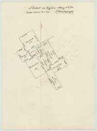 PlatSecond Land Office sketch plotted 25 May 1871 showing the Barclay surveys and neighboring tracts.General Land Office, file 1002, page 39 · in the scan
 WrapperWrapper for the Land Office sketches of the Barclay surveys.General Land Office, file 1002, page 40 · in the scan
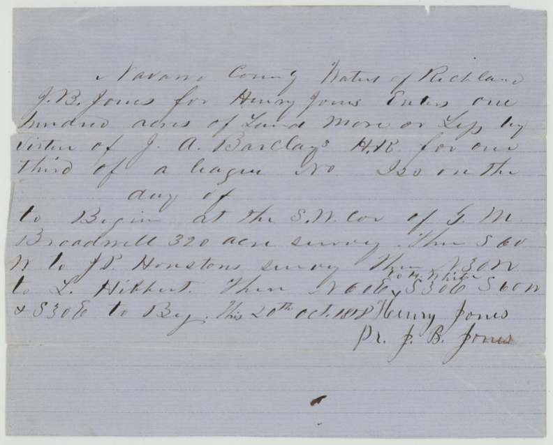
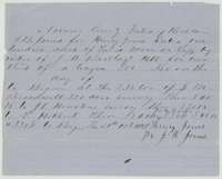 Other papersApplication of 20 October 1858 by J. B. Jones for Henry Jones to survey 100 acres on the Barclay headright certificate.General Land Office, file 1002, page 41 · in the scan
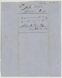 WrapperWrapper for the application to survey land on John A. Barclay's headright.General Land Office, file 1002, page 42 · in the scan
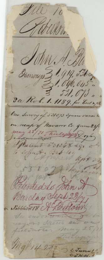
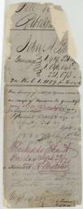 File jacketWorn jacket for the 94-acre survey, marked patented to John A. Barclay in September 1871 as patent No. 666, Volume 18.General Land Office, file 1002, page 43 · in the scan
 WrapperWorn wrapper fragment from the Barclay file.General Land Office, file 1002, page 44 · in the scan
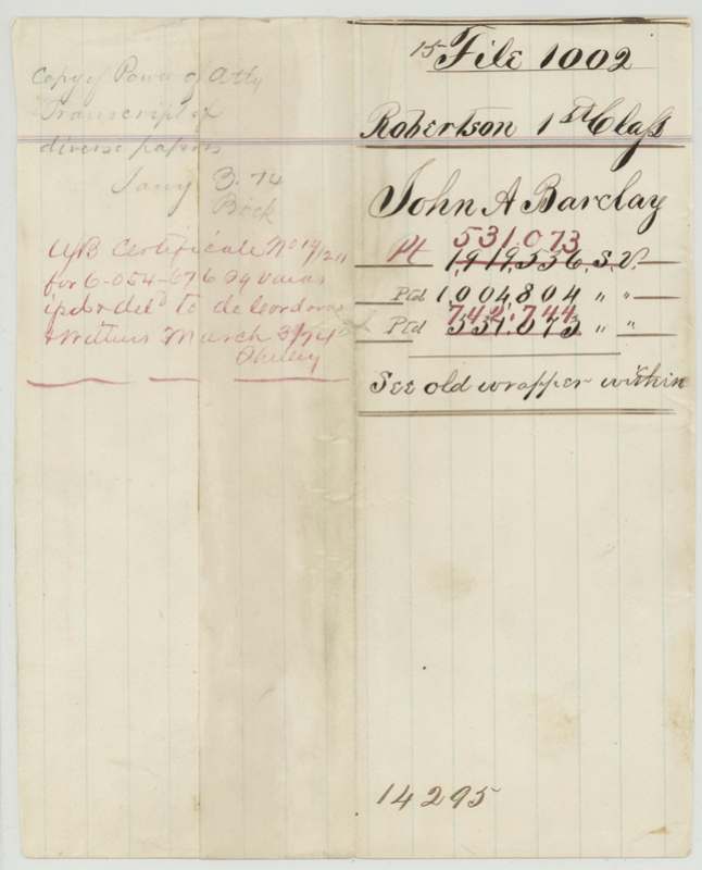
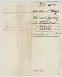 WrapperWrapper listing the three Barclay surveys and a note about the unlocated-balance certificate issued in 1874.General Land Office, file 1002, page 45 · in the scan
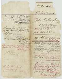 WrapperWrapper for the 131-acre and 178-acre surveys, with patent notes from September 1872 and 1873.General Land Office, file 1002, page 46 · in the scan
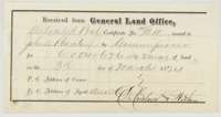 ReceiptLand Office receipt of 3 March 1874 for unlocated balance certificate No. 14/211 issued to John A. Barclay, delivered to an Austin agent.General Land Office, file 1002, page 47 · in the scan
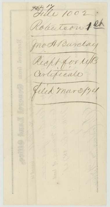
 WrapperWrapper for the Land Office receipt for the unlocated balance certificate, filed 3 March 1874.General Land Office, file 1002, page 48 · in the scan
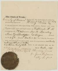 AffidavitAffidavit of November 1873 in which Henry Jones, by John B. Jones, states he owns triplicate certificate 29/205 and authorizes an agent to withdraw the balance certificate.General Land Office, file 1002, page 49 · in the scan
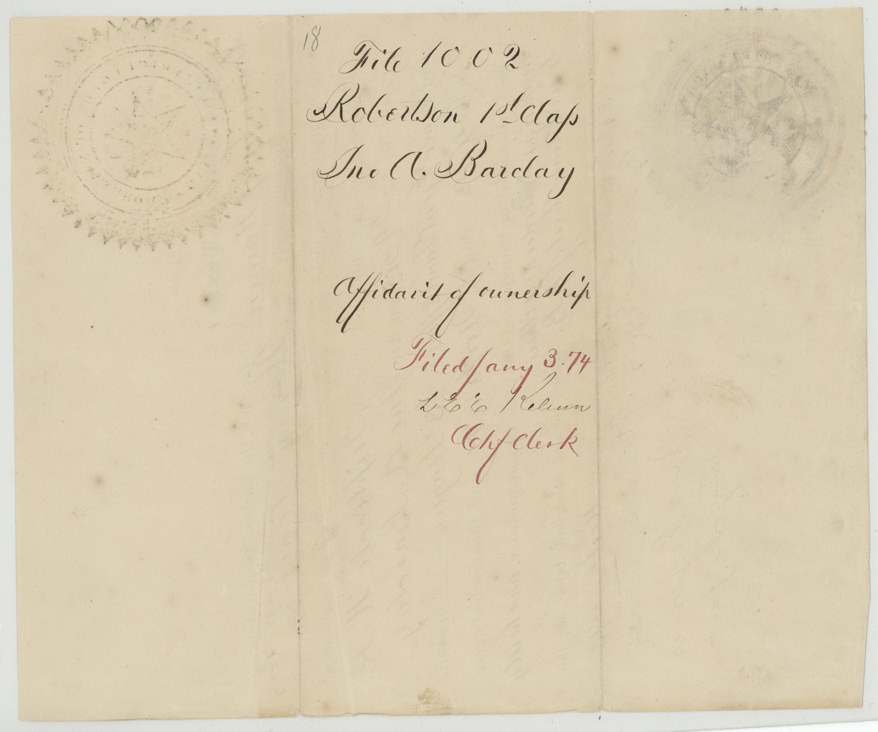
 WrapperWrapper for the affidavit of ownership, filed at the Land Office on 3 January 1874.General Land Office, file 1002, page 50 · in the scan
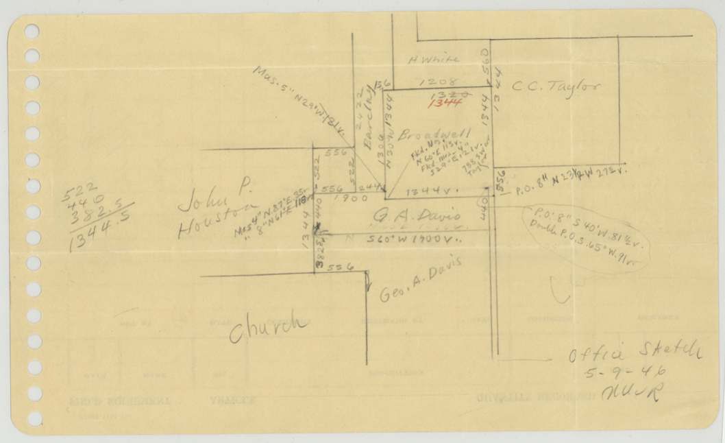
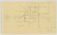 MapPencil sketch by the Land Office of the Barclay surveys and nearby tracts on a punched sheet.General Land Office, file 1002, page 51 · in the scan
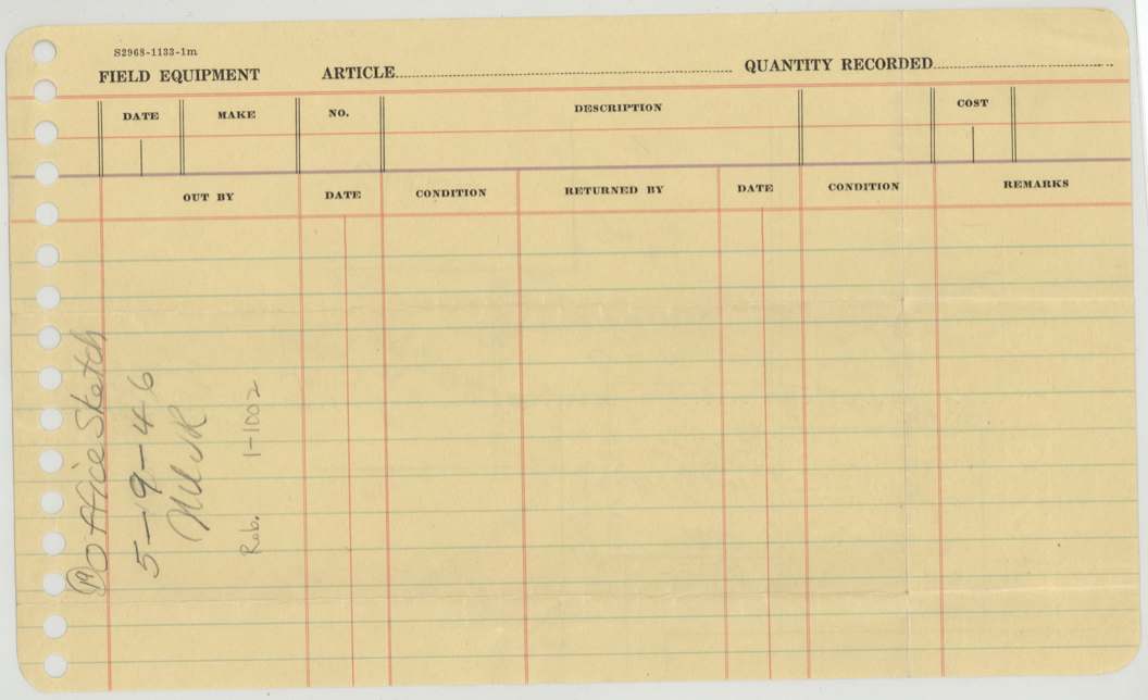
 Other papersA printed field-equipment card carrying a later Land Office sketch note on the Barclay file.General Land Office, file 1002, page 52 · in the scan
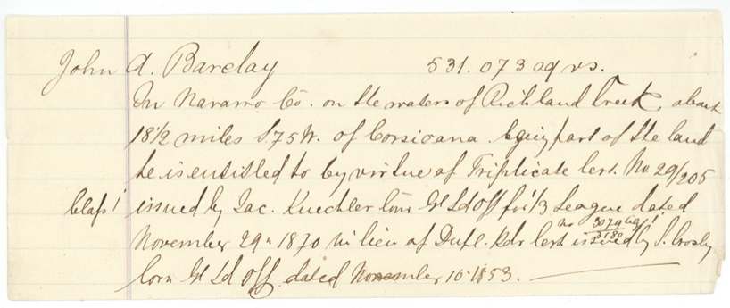
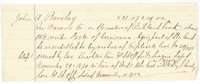 Other papersDescriptive slip for 531,073 square varas of Barclay's survey, taken from the triplicate certificate issued in place of the duplicate of 10 November 1853.General Land Office, file 1002, page 53 · in the scan
 WrapperWrapper with a faint pencil file number.General Land Office, file 1002, page 54 · in the scan
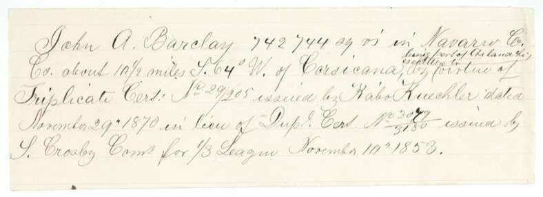
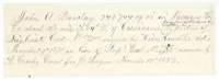 Other papersDescriptive slip for 742,744 square varas of Barclay's survey, taken from the triplicate certificate of 29 November 1870 issued in place of the duplicate.General Land Office, file 1002, page 55 · in the scan
 WrapperWrapper with a faint pencil file number.General Land Office, file 1002, page 56 · in the scan
Scans courtesy of the Texas General Land Office, Austin, from its Land Grant Database.
Neighbouring surveys
Sources
- Texas General Land Office, Land Grant Database: Navarro County, Abstract 54
- The Land Office file, scanned (PDF, at the General Land Office)
- 1924 map: courtesy of the Texas General Land Office, Austin, Map 73249, used under licence. Topo: U.S. Geological Survey, The National Map. Aerial photographs: U.S. Department of Agriculture, National Agriculture Imagery Program, 2012, 2018 and 2022. Survey outlines: Railroad Commission of Texas, Original Texas Land Survey. Grant records and files: Texas General Land Office.