Blackland TX · ← All the original surveys
Elijah P. Baker Survey, Abstract 109
- Granted to
- Elijah P. Baker
- Kind of grant
- Headright, third classLand for later settlers, including the colonists of Mercer’s Colony.
- Land Office file
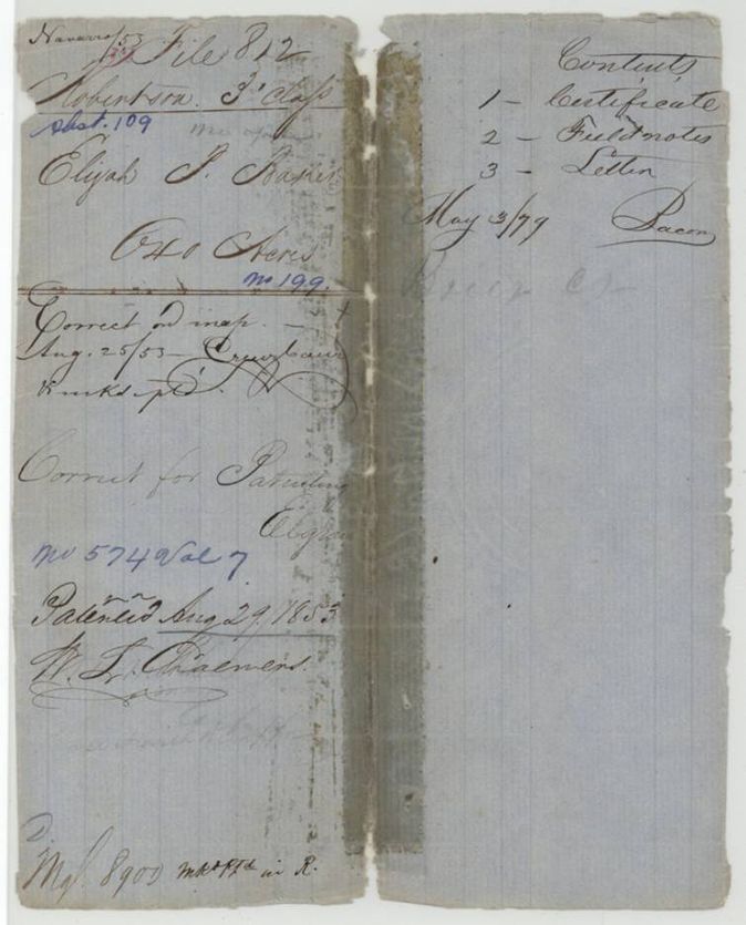
- Robertson 3rd class, file 812
- Certificate
- No. 199
- Acres
- 640
- Patented to
- Elijah P. Baker
- Patent
- 29 Aug 1853 · No. 574, Vol. 7
Tap a survey to open its page.
What the file shows
Elijah P. Baker received Mercer's Colony certificate No. 199 for 640 acres at Corsicana in April 1850. Deputy surveyor David R. Mitchell located it on Brier Creek about seven miles south-west of town in June 1850, and the notes were recorded in Colony Book I. After a 1850 letter in which Baker asked for the patent, it issued on 29 August 1853.
The certificate
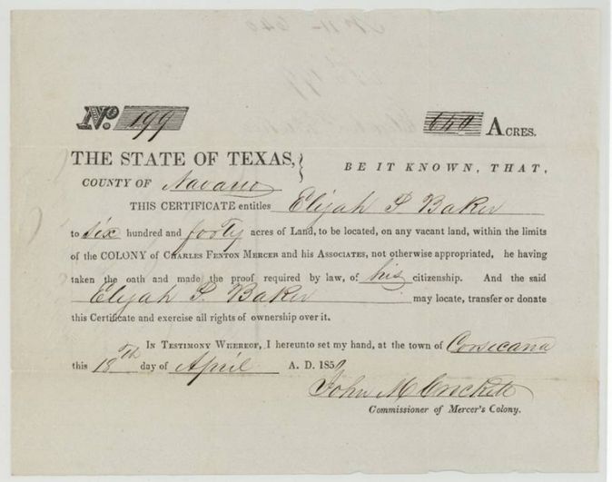
Mercer's Colony certificate (3rd class, Robertson), No. 199, 640 acres, John M. Crockett, Commissioner of Mercer's Colony, Corsicana, 18 Apr 1850.
Having taken the oath and made the proof required by law of his citizenship, Elijah P. Baker is entitled to 640 acres to be located on any vacant land within the limits of Charles Fenton Mercer's colony
The survey
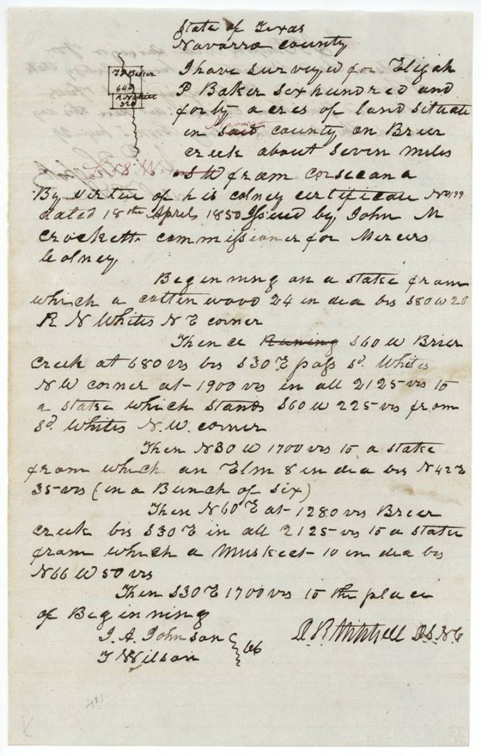
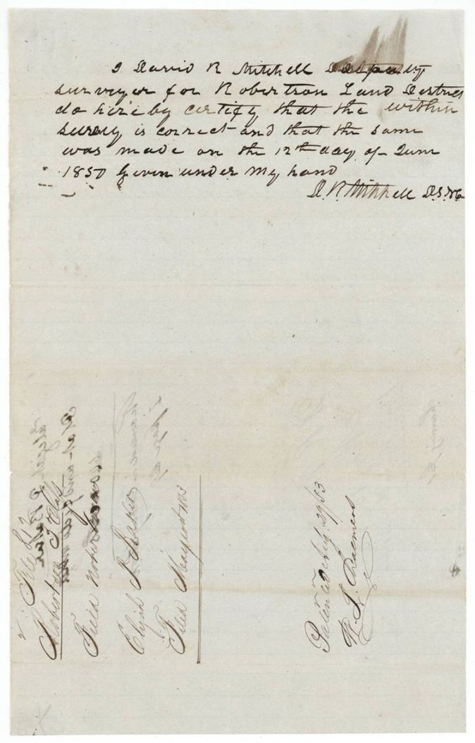
12 Jun 1850, David R. Mitchell, Deputy Surveyor, Robertson Land District.
Navarro County (red ink 'Navarro' replaces 'said') on Brier Creek about seven miles S W from Corsicana; red-ink 'S 58 W'(?) written beside the S W
Chain carriers: I. A. Johnson(?), T. Wilson.
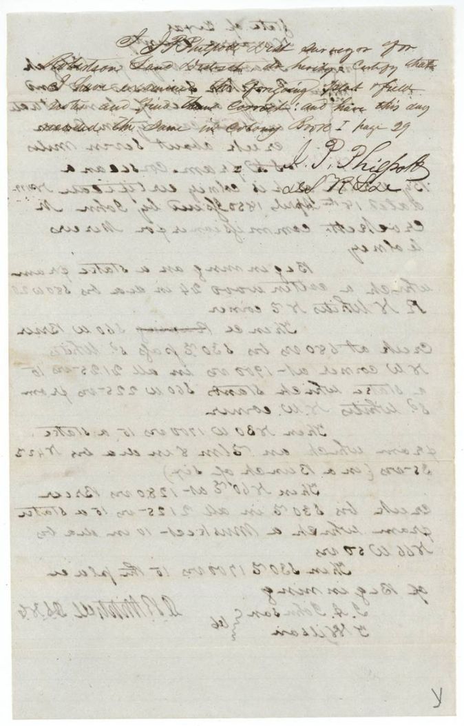
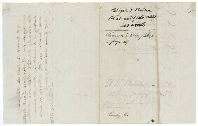
Colony Book I, page 29
The patent
29 Aug 1853, No. 574, Vol. 7, to Elijah P. Baker, delivered to not stated.
Also in the file
- Index says patent 29 Aug 1853, No. 574, Vol. 7, 640 acres to Elijah P. Baker; the jacket agrees.
- The survey was made in June 1850 and examined and recorded promptly, but the patent did not issue until three years later; the wrapper shows the file only 'Filed August 1853'.
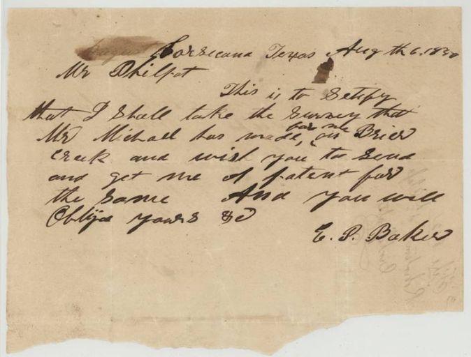
- Baker's 6 August 1850 letter asks Philpott to get the patent but is addressed informally and written two months after the survey; the file shows 'D. R. Mitchell May 10/53, place this with his other applications', suggesting the surveyor was holding the papers.
- The jacket gives the direction from Corsicana as S.W. while a red-ink correction on the field notes reads '58 W'(?).
Timeline
- 18 Apr 1850Mercer's Colony certificate No. 199 for 640 acres issued to Elijah P. Baker at Corsicana
- 12 Jun 1850D. R. Mitchell surveys 640 acres on Brier Creek
- 6 Aug 1850Baker writes Philpott asking him to get the patent for the Brier Creek survey
- 10 May 1853Note to place the papers with Mitchell's other applications
- 25 Aug 1853Checked correct on the map
- 29 Aug 1853Patent No. 574 Vol. 7 to Elijah P. Baker
The papers in the file
Every page of the Land Office file, in the order the Land Office keeps them (8 pages). Tap a page to see it larger.
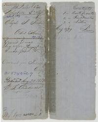 File jacketJacket and contents sheet for file 812, Elijah P. Baker, 640 acres, certificate 199, patented 29 August 1853, No. 574 Vol. 7.General Land Office, file 812, page 1 · in the scan
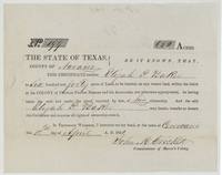 CertificateMercer's Colony certificate No. 199 for 640 acres to Elijah P. Baker, signed by Commissioner John M. Crockett at Corsicana.General Land Office, file 812, page 2 · in the scan
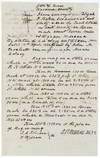 Field notesD. R. Mitchell's field notes and plat for Baker's 640 acres on Brier Creek about seven miles from Corsicana.General Land Office, file 812, page 3 · in the scan
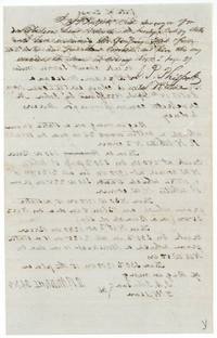 Surveyor's certificatePhilpott's examination and recording in Colony Book I page 29, with show-through of the field notes.General Land Office, file 812, page 4 · in the scan
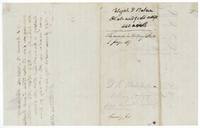 WrapperBack of the field notes, recorded in Colony Book I page 29, with the note to place it with Mitchell's other applications.General Land Office, file 812, page 5 · in the scan
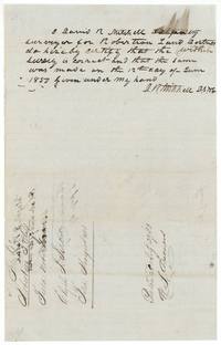 Surveyor's certificateMitchell certifies the survey correct and made 12 June 1850, with the file wrapper marked filed August 1853 and patented 29 August 1853.General Land Office, file 812, page 6 · in the scan
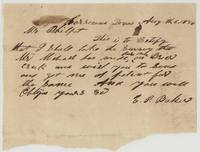 LetterE. P. Baker writes Mr. Philpot from Corsicana that he will take Mr. Mitchell's survey on Brier Creek and asks him to get the patent.General Land Office, file 812, page 7 · in the scan
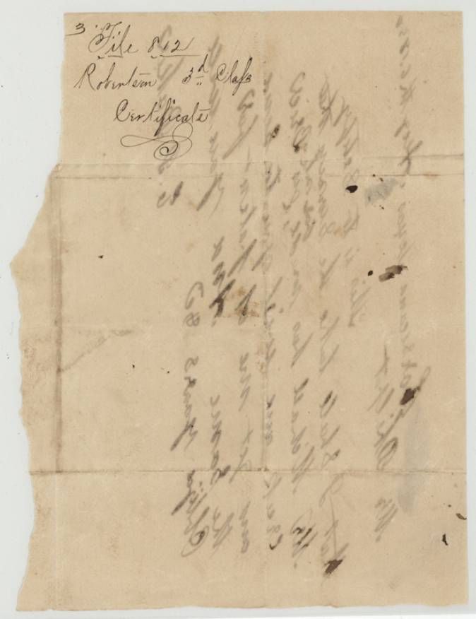
 WrapperBack of Baker's letter, endorsed as paper 3 of file 812, Robertson 3rd class, 'Certificate'.General Land Office, file 812, page 8 · in the scan
Scans courtesy of the Texas General Land Office, Austin, from its Land Grant Database.
Neighbouring surveys
Sources
- Texas General Land Office, Land Grant Database: Navarro County, Abstract 109
- The Land Office file, scanned (PDF, at the General Land Office)
- 1924 map: courtesy of the Texas General Land Office, Austin, Map 73249, used under licence. Topo: U.S. Geological Survey, The National Map. Aerial photographs: U.S. Department of Agriculture, National Agriculture Imagery Program, 2012, 2018 and 2022. Survey outlines: Railroad Commission of Texas, Original Texas Land Survey. Grant records and files: Texas General Land Office.