Blackland TX · Historic maps
Rice
1921
Population 613
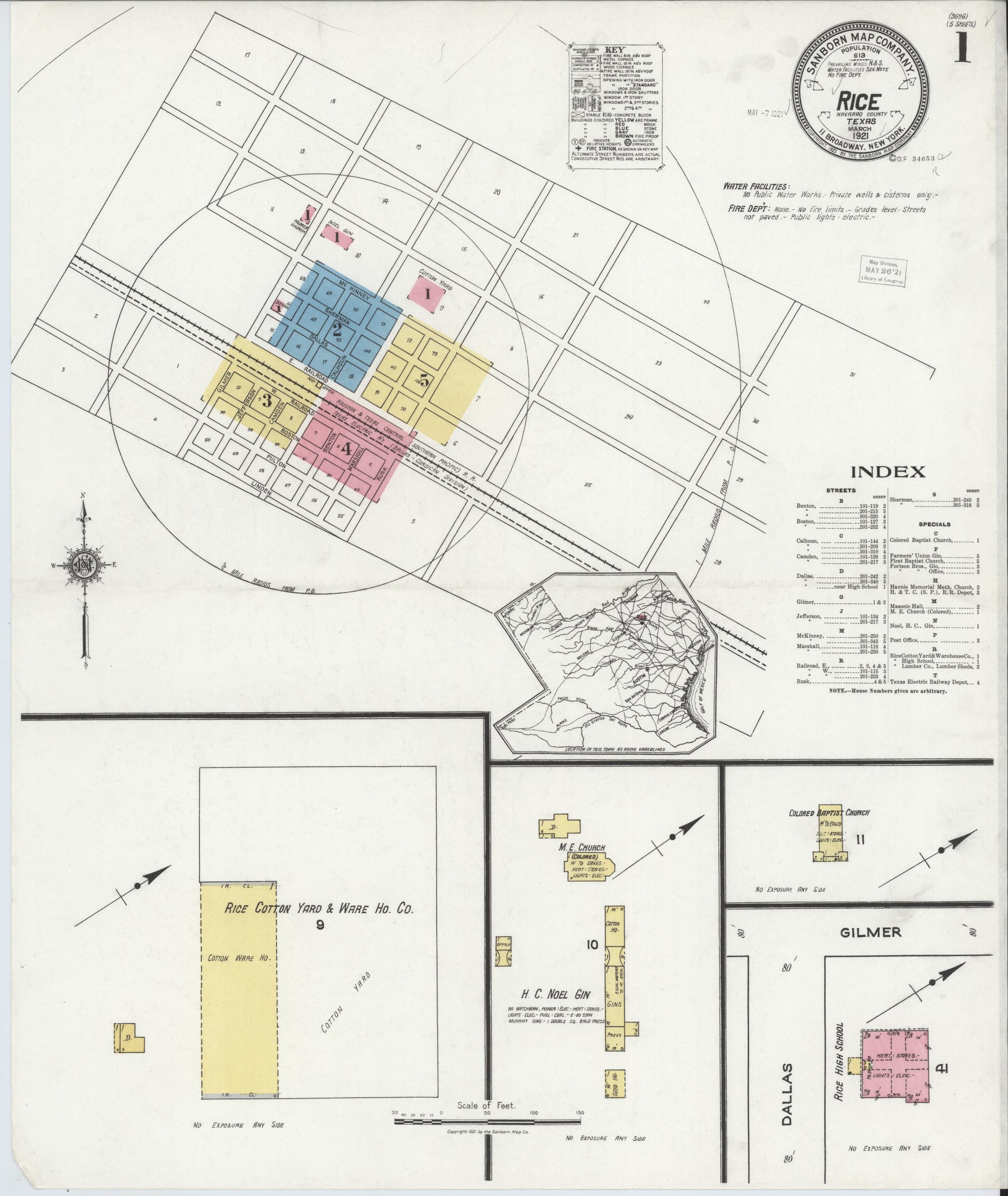
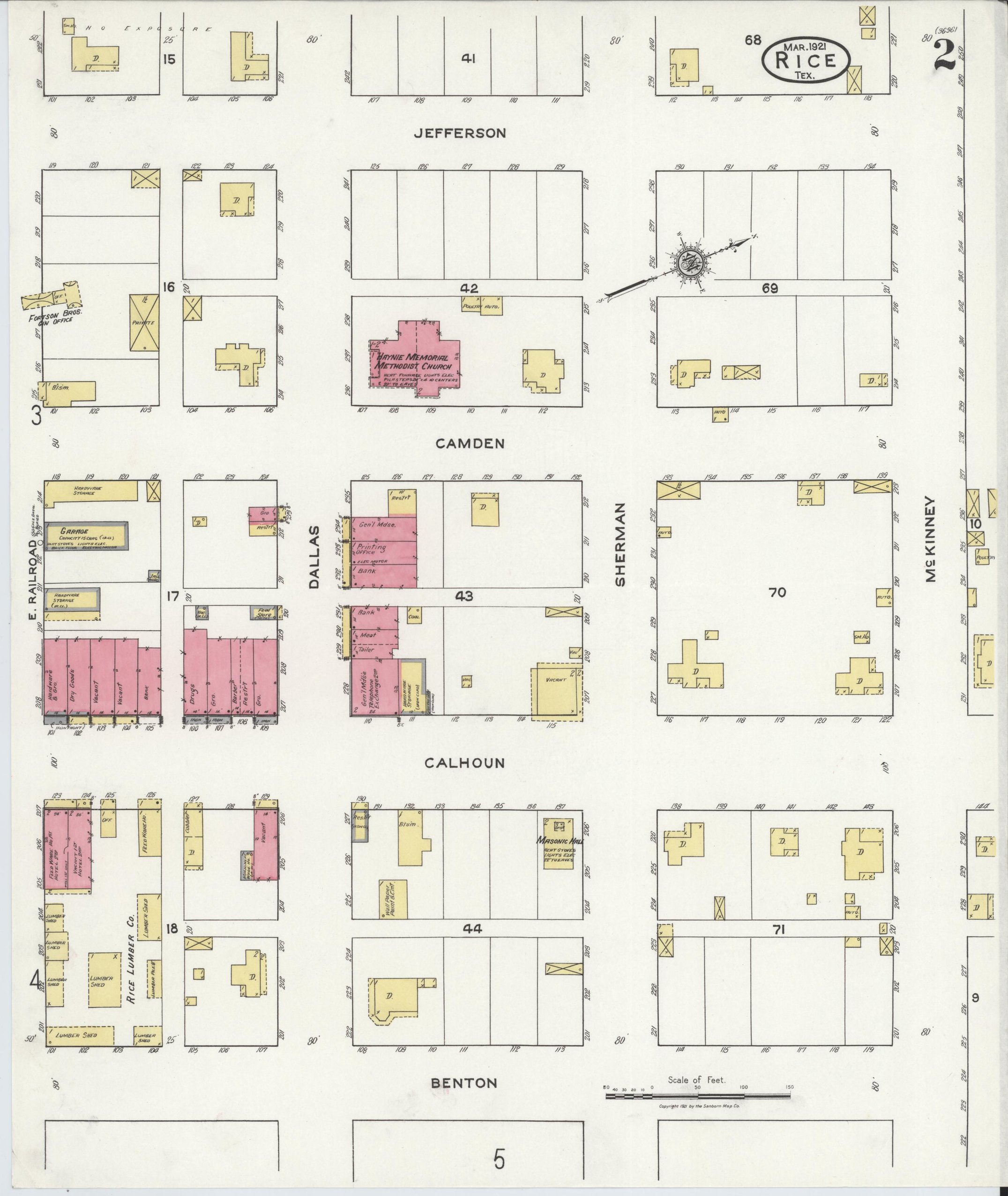
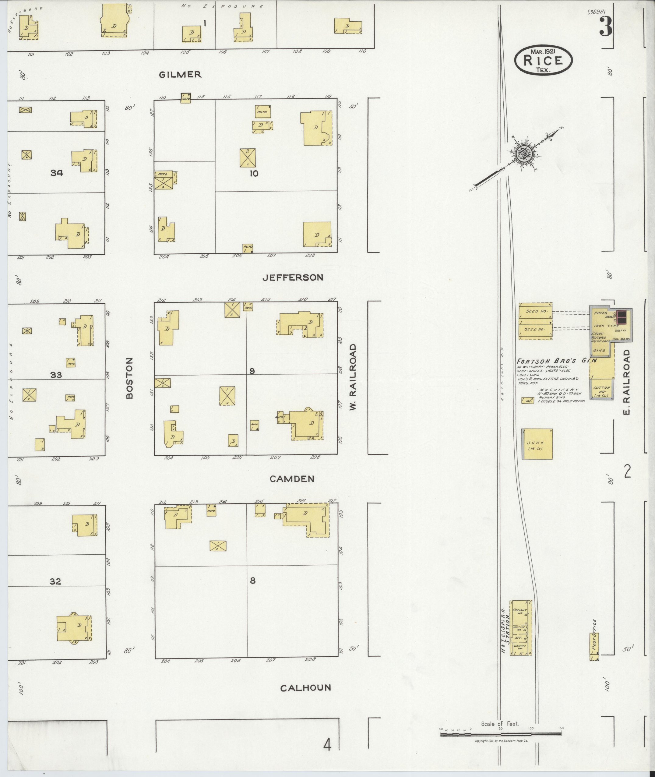
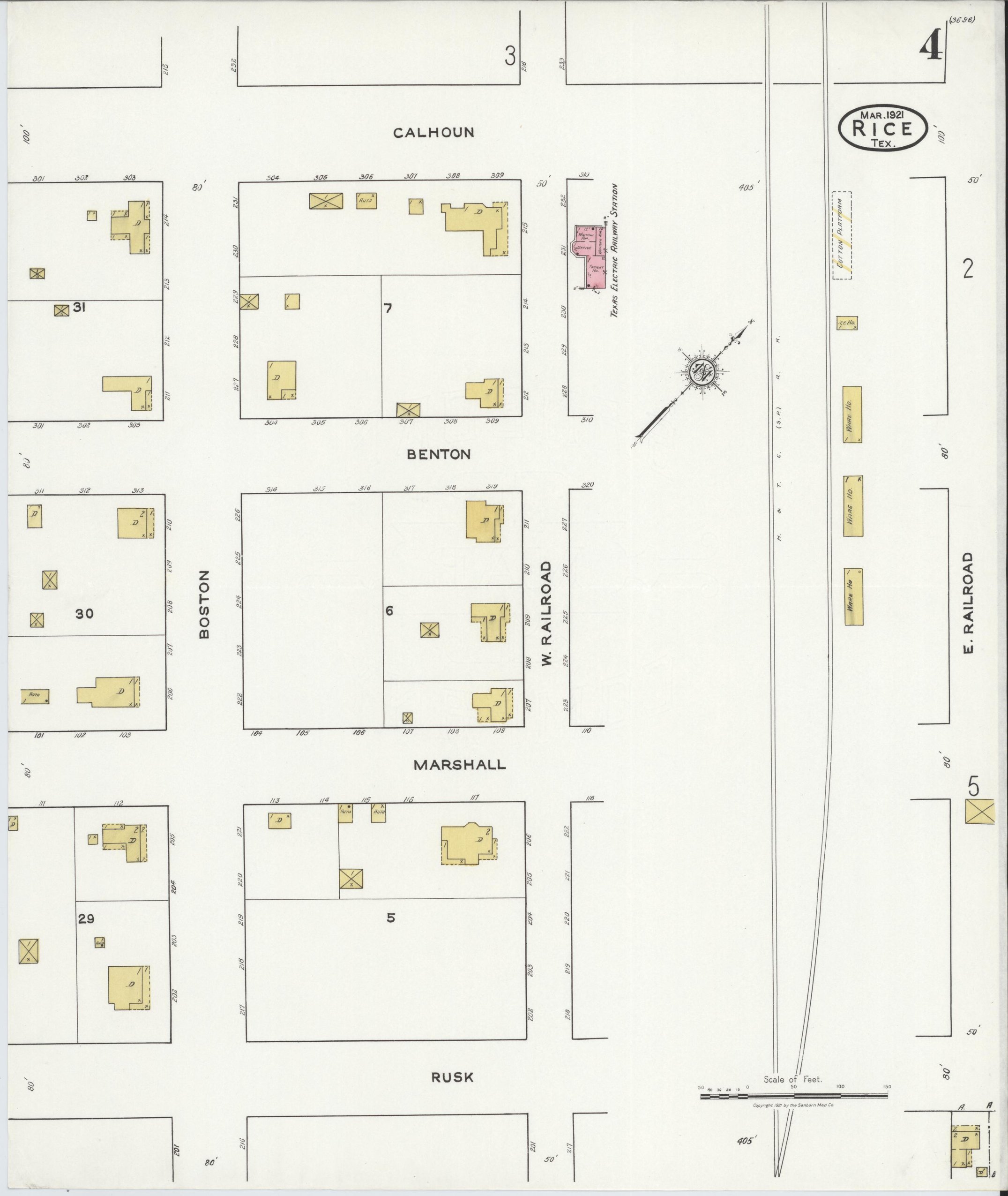
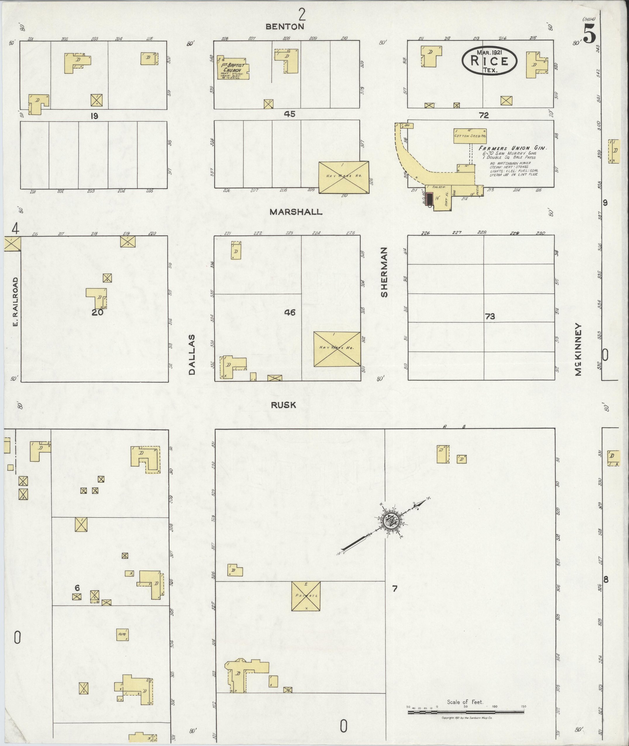
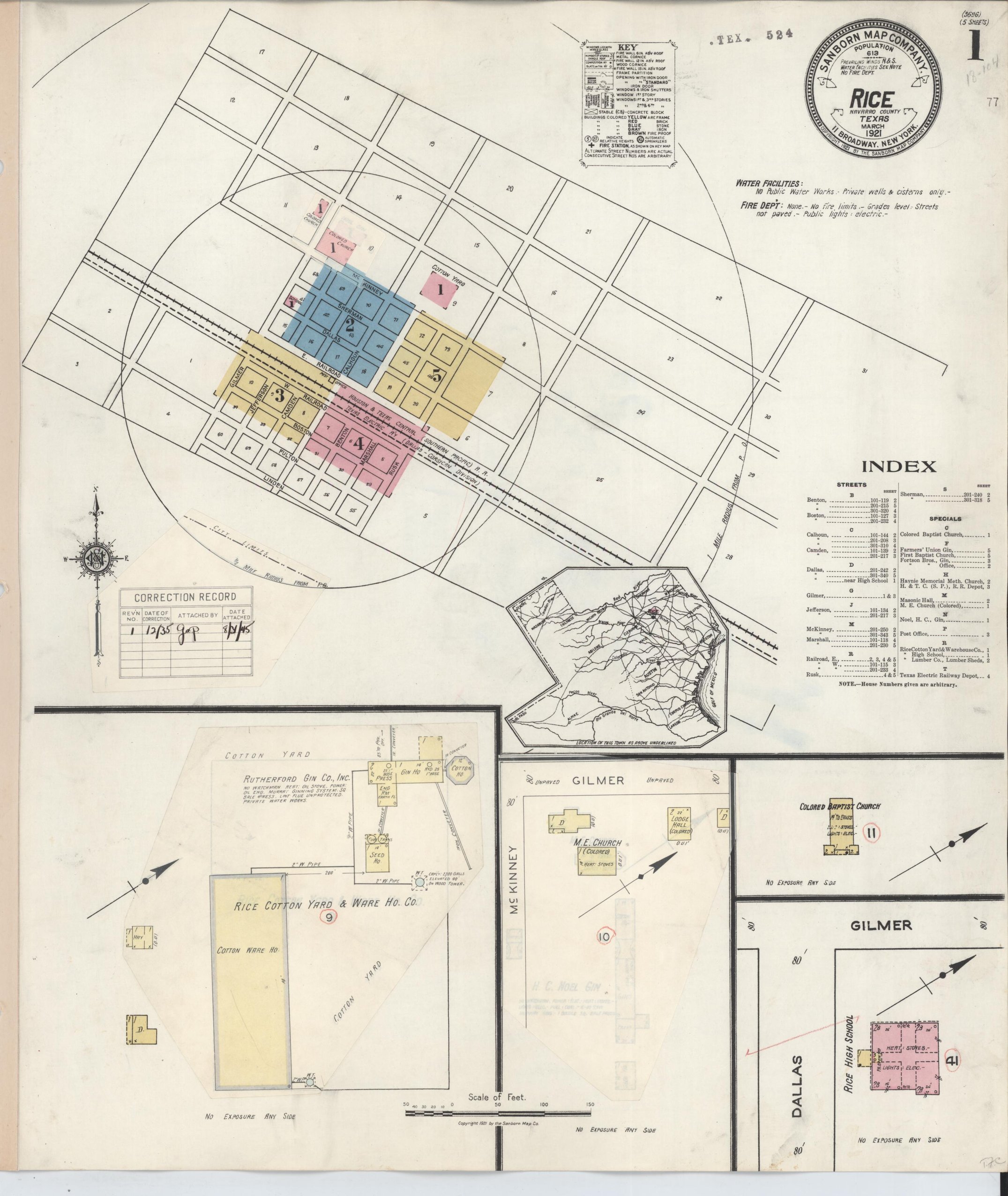
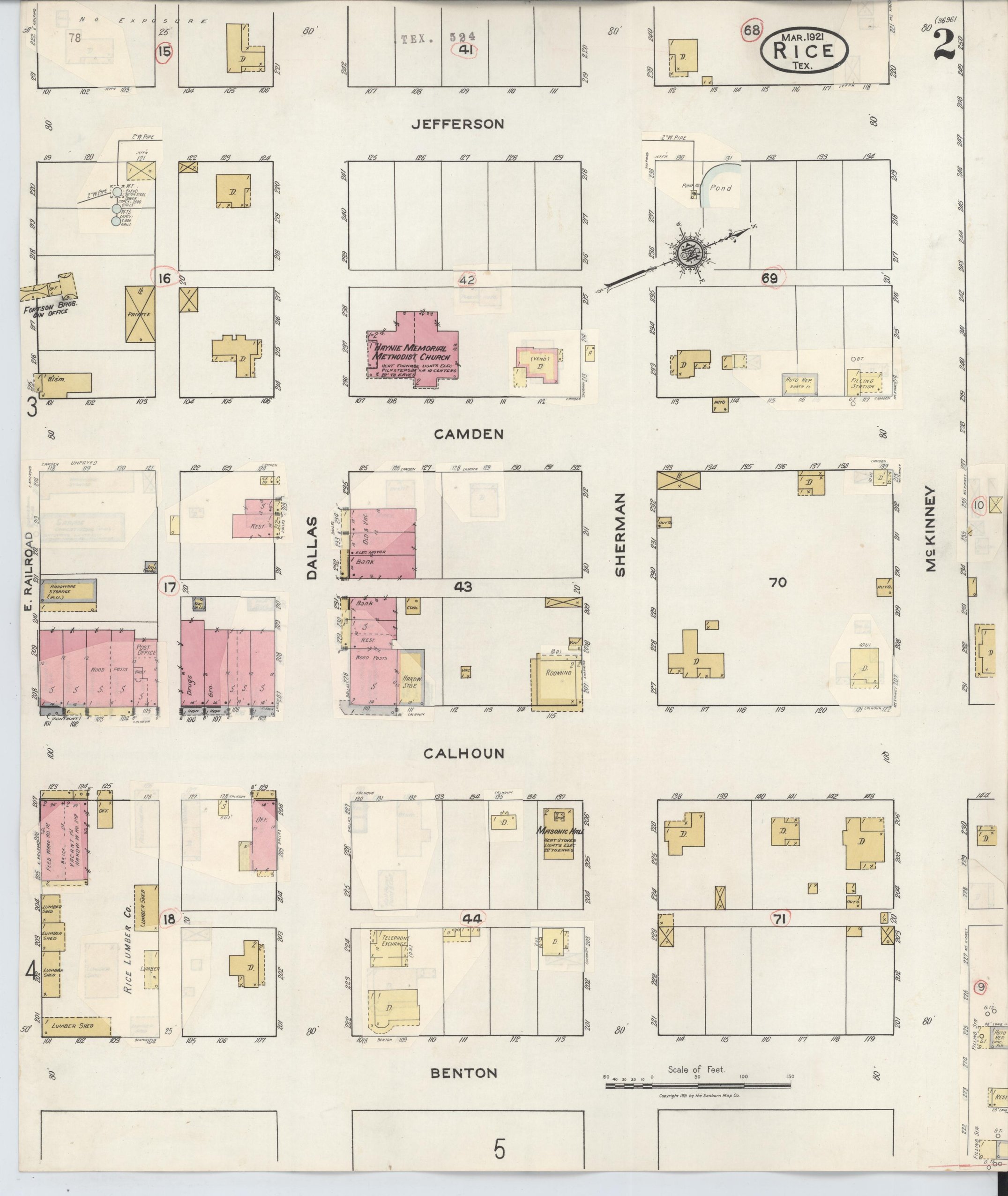
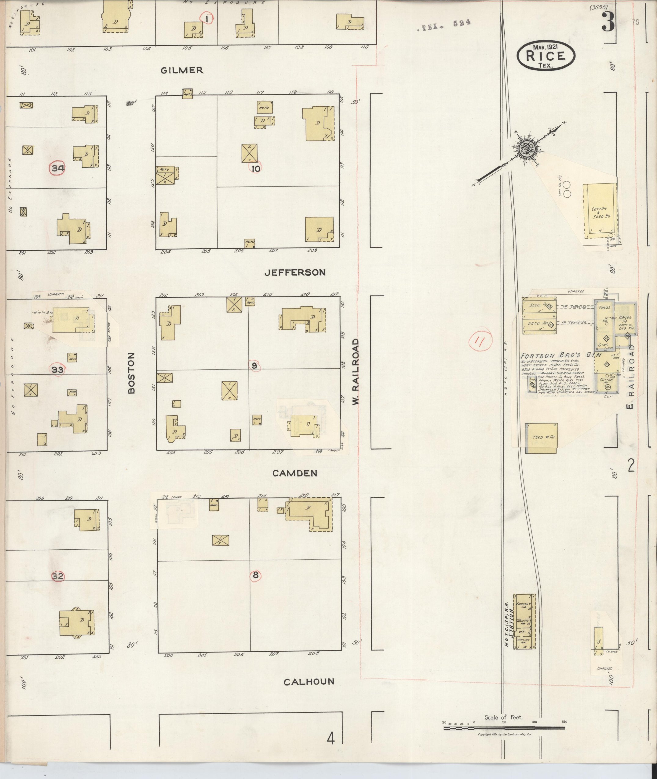
No public water works and no fire department: private wells and cisterns only. The H. & T. C. line runs through town, and the index also names a Texas Electric Railway depot, the interurban. Gins: Farmers' Union, Fortson Bros. and H. C. Noel. The Rice Cotton Yard & Warehouse Co., Rice Lumber Co., a Masonic hall, Rice High School, First Baptist and a Methodist memorial church, and a Colored Baptist church and M.E. church (Colored).
1935
Population not recorded
Not a new survey. The 1921 sheets were brought up to date with correction slips pasted on in December 1935, the same way Blooming Grove's 1934 edition was made, so the seal still reads 1921 and gives no new population. On the slips: the H. C. Noel gin is gone, the Rutherford Gin Co. has gone up beside the cotton yard, and a Colored lodge hall stands next to the M.E. church.
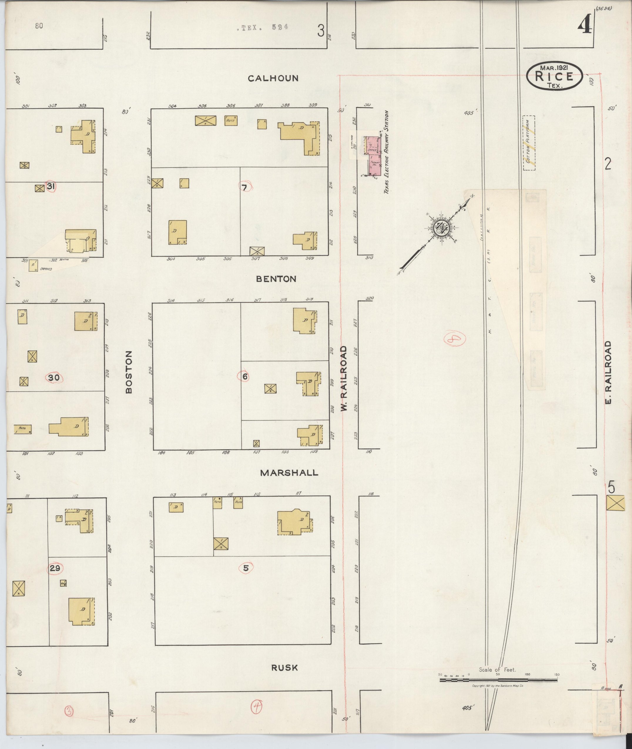
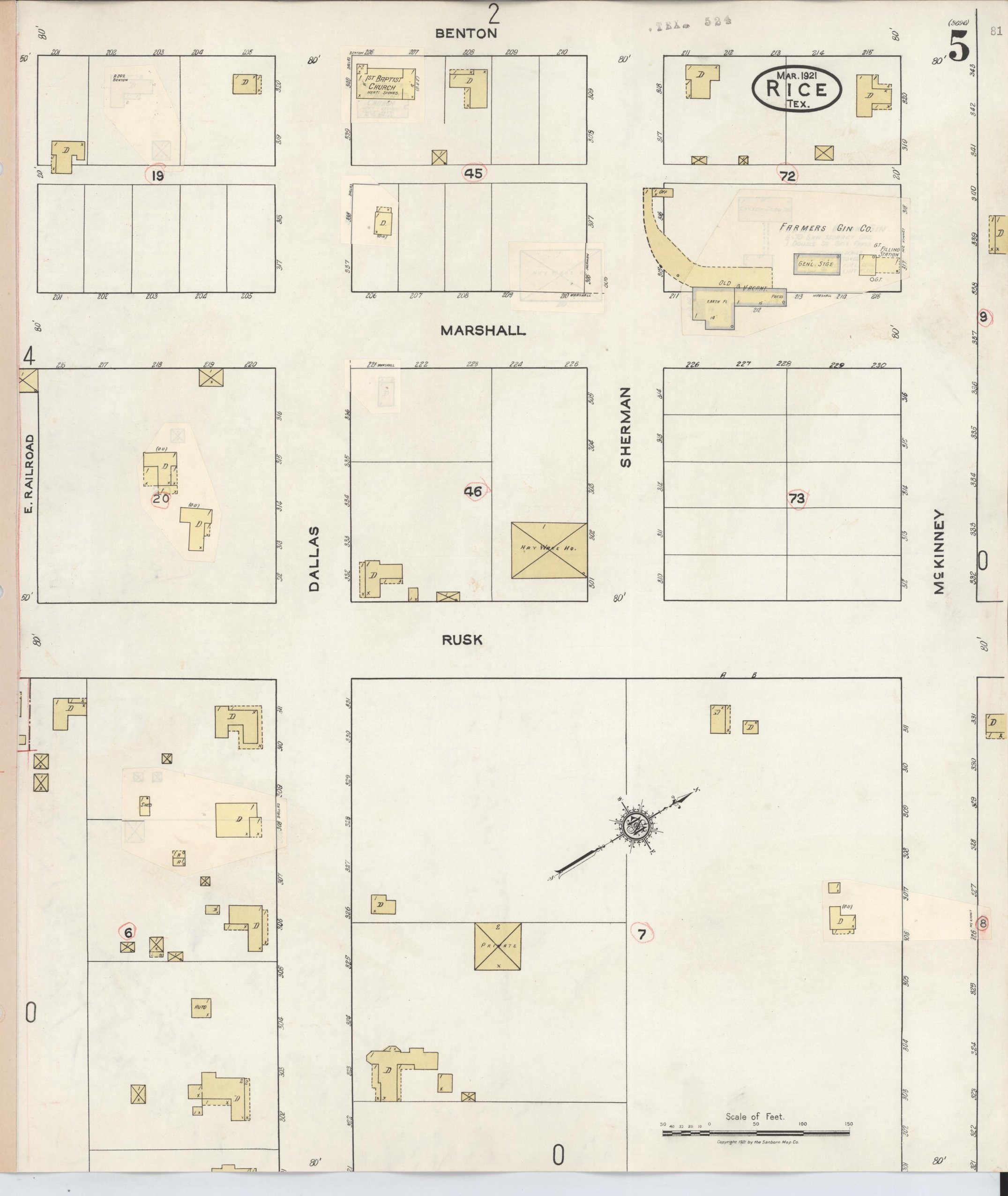
Source: Library of Congress, Sanborn Fire Insurance Map Collection, read 2026-09-24. Public domain.